Note: Stats for the actual Corona de Loma segment: 1.45mi 761ft Gain
I have been curious for some time about this trail with many switchbacks traveling up the south side of South Mountain. My numerous hiking guides do not make mention of this trail. However, one of my old mountain bike maps clearly shows this trail labeled "Corona De Loma". An internet search for "Corona De Loma Trail" did not yield any hiking trails, but curiously multiple hits as a mountain bike trail! One of the trail reviews from MbREVIEW proudly noted that the rider conquered the many loose, rocky switchbacks by only going over the handlebars once! Sounds like fun... One should note that many of the mountain bike trail hits acknowledge the name as "Corona Loma Trail".
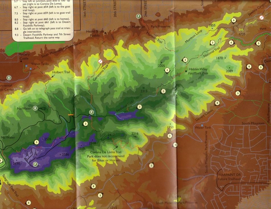
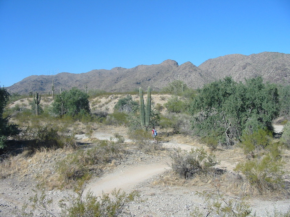
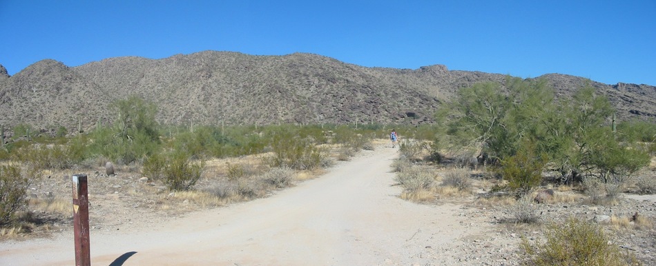
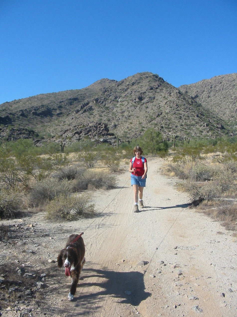
To avoid the typical South Mountain parking lot crowding, start your hike from the little-known Warpaint Drive trailhead. The trail will soon dip into a wash and as it rises out of the wash, meets a posted spur junction. Both spurs will eventually join Desert Classic Trail but choose the western spur for a shorter route to the Corona De Loma ascent up South Mountain.
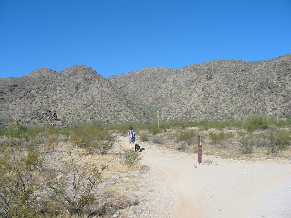
The spur trail will begin to bend towards the north and join Desert Classic Trail at GPS coordinates 33o 19.874'N, 112o 01.471'W. Follow Desert Classic Trail north towards the Pima trail head until you reach sign post #46 at GPS coordinates 33o 19.997'N, 112o 01.502'W. This side trail forms a popular loop for mountain bikers.
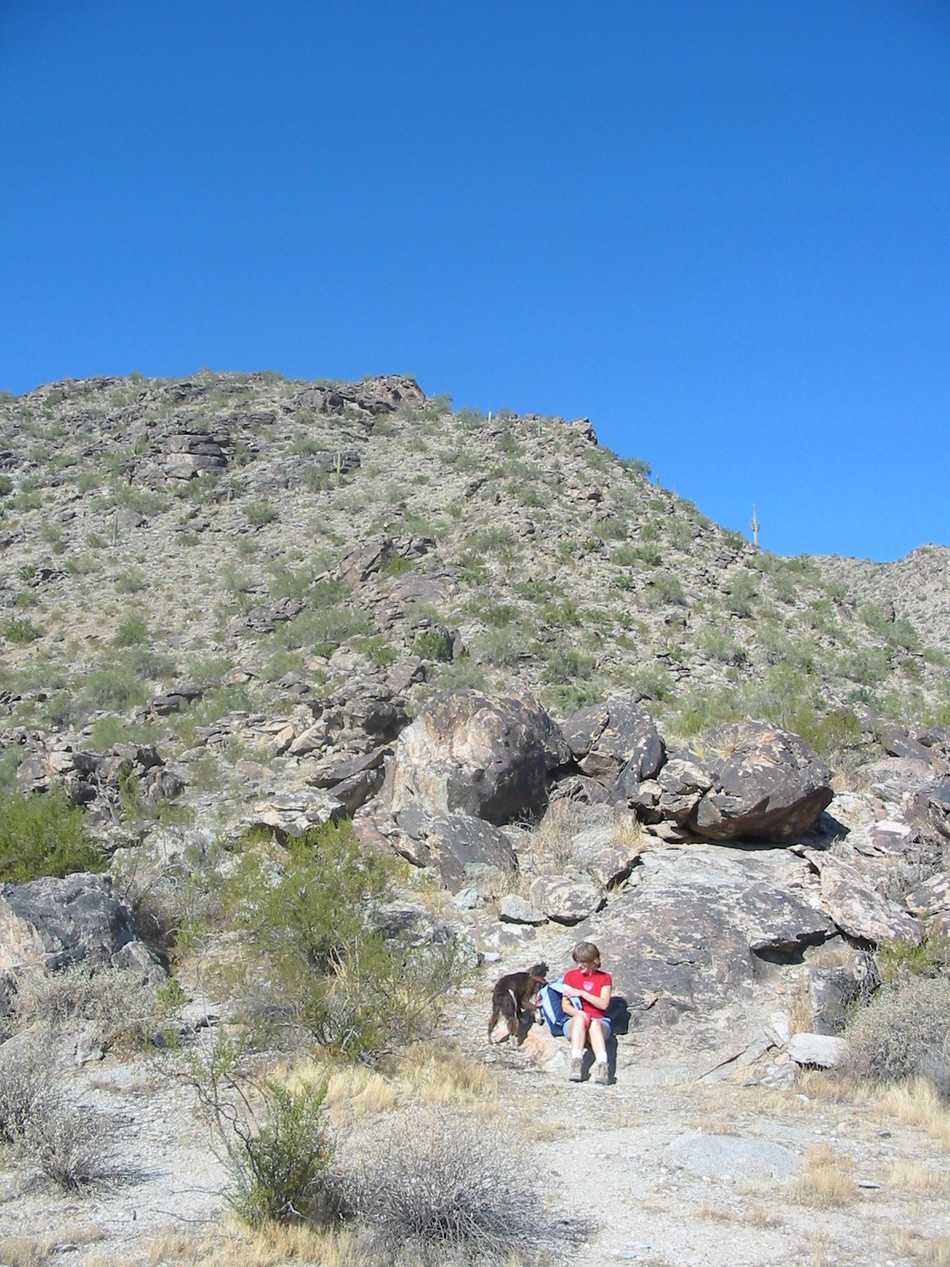
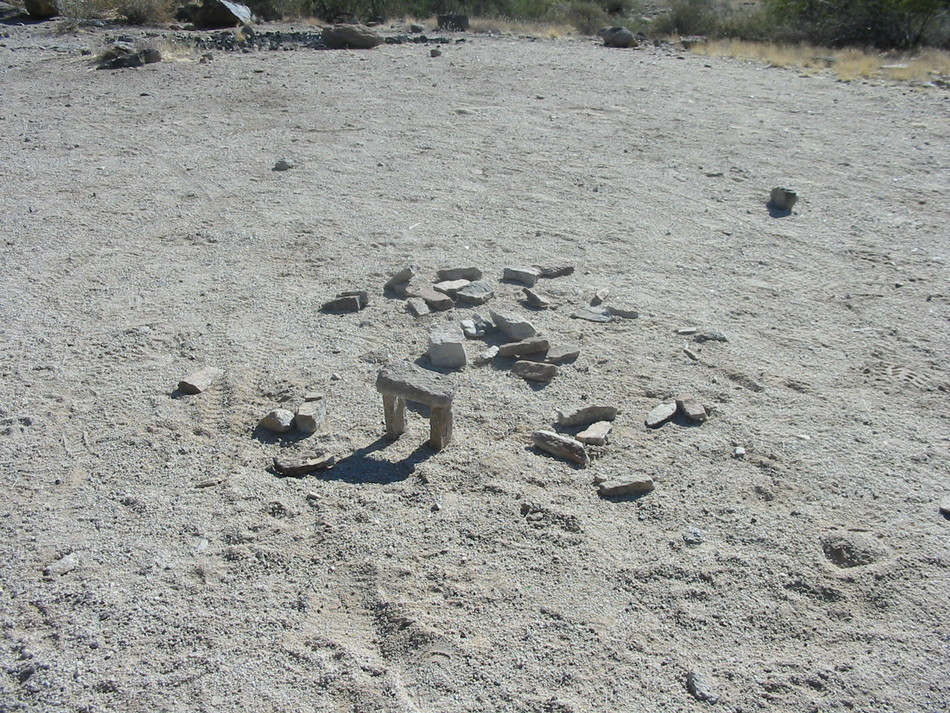
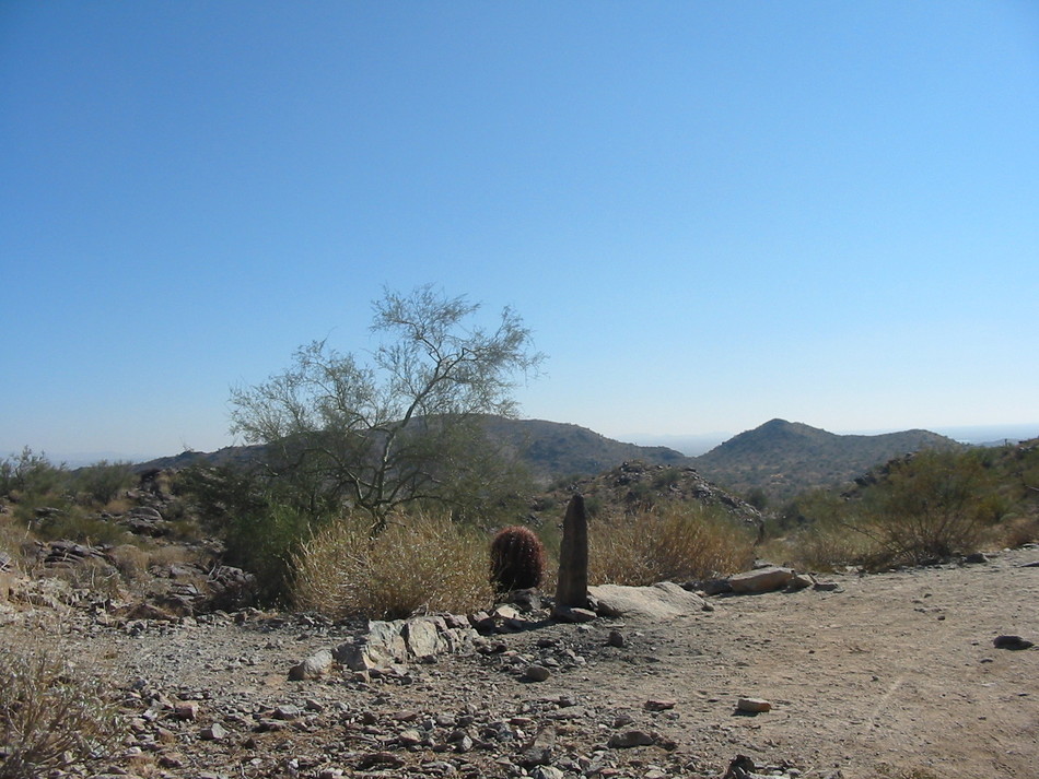
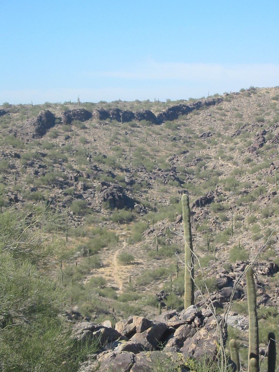
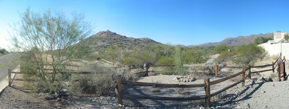
The trail now follows an outcropping from the base of South Mountain and enters a boulder field. There are many suitable resting spots near here as well as a miniature Stonehenge that is in varied states of repair/disrepair dependent upon the industry of recent visitors.
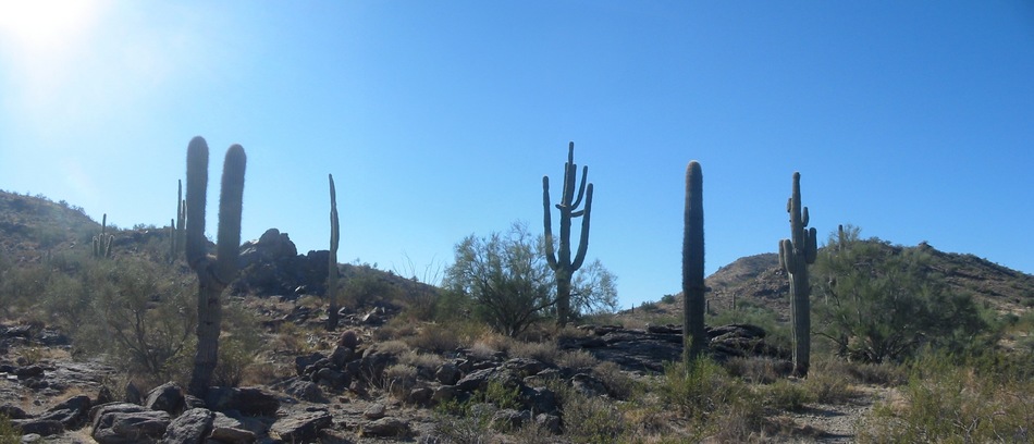
Continue along the loop until it reaches a crest marked with a tombstone-like cairn. The Corona De Loma Trail begins its ascent of South Mountain to the right near a large, lone Saguaro cactus. GPS coordinates for the trail junction are 33o 20.006'N, 112o 01.866'W and an elevation of 1621 feet.
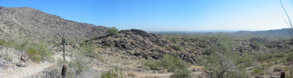
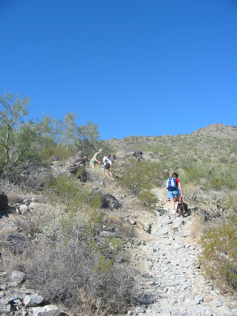
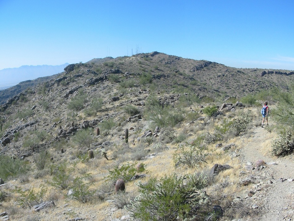
The Corona De Loma Trail is well marked with a steep, steadygrade with many switchbacks. There are many sections with loose gravel and rocks requiring the agility and sure-footedness of a mountain sheep. With this being the Friday after Thanksgiving, we did encounter about half a dozen hikers during our ascent, but surprisingly had the descent all to ourselves.
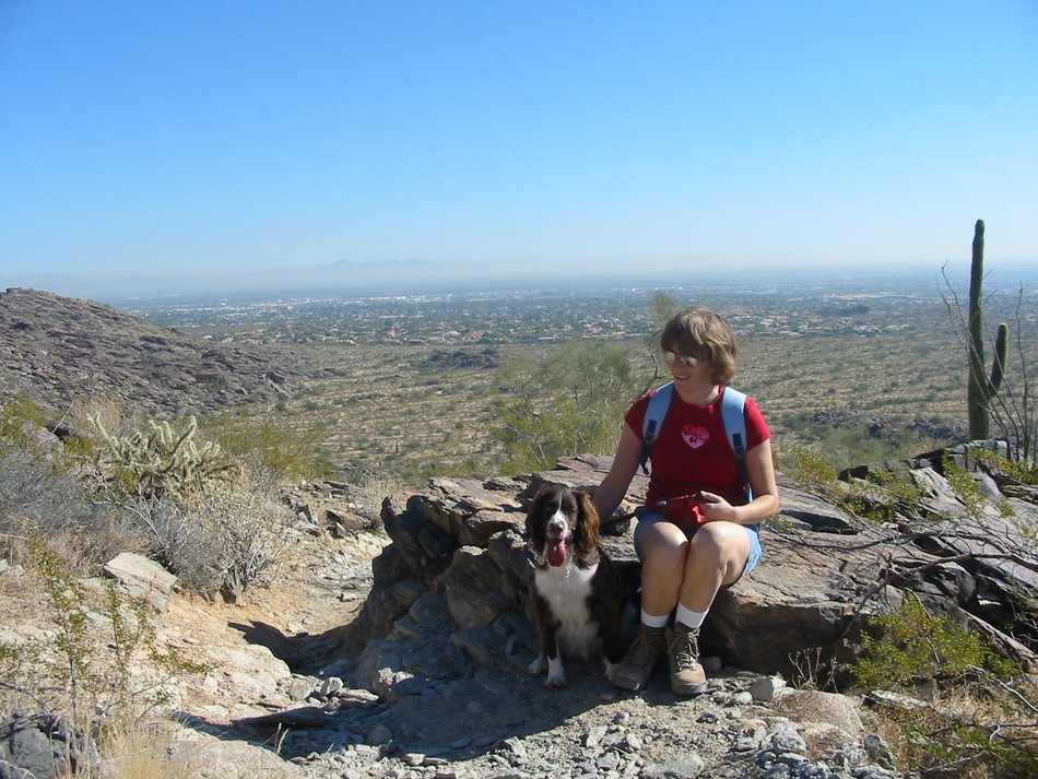
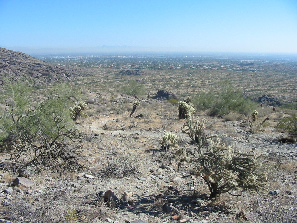
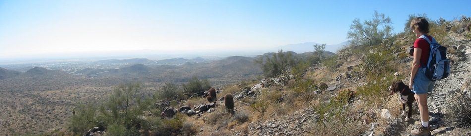
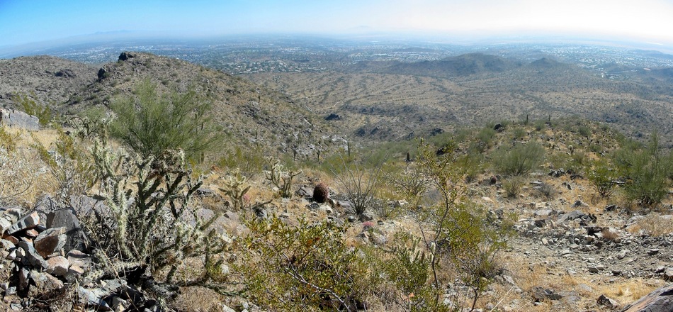
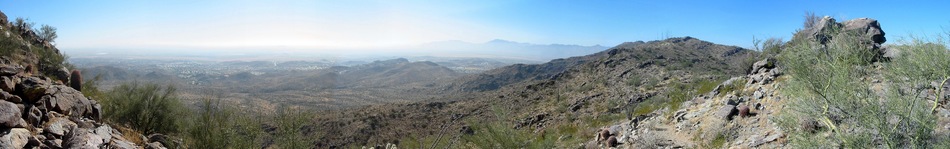
The moderately strenuous climb is rewarded with spectacularviews, particularly from the summit at 2417 feet. Take a break here as a reward for having climbed 1000+ feet.
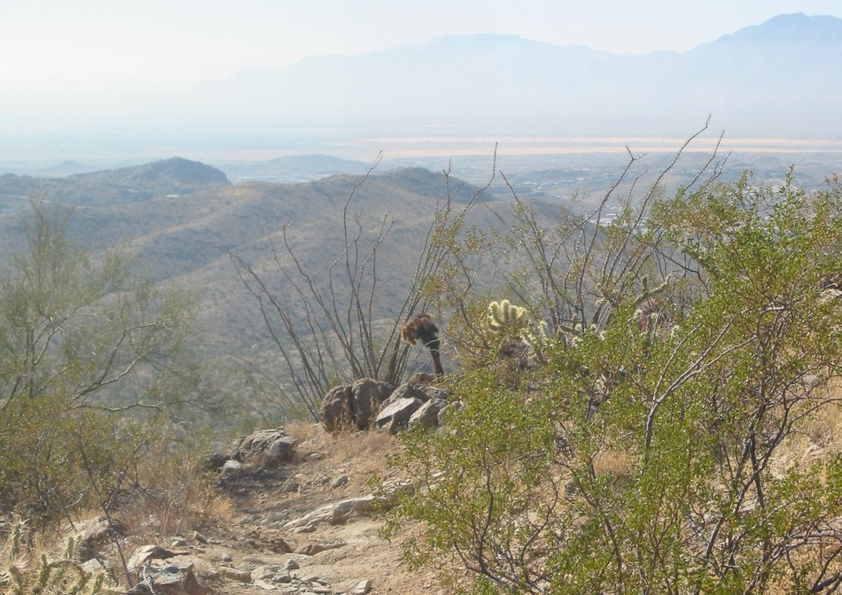
The Corona De Loma Trail continues along the ridgeline for a short while before descending into Eagle Pass. To the west is a rock formation known as the Chinese Wall. The trail ascends in two separate paths, both of which join the National Trail near the Buena Vista parking lot. Enjoy!
WARNING! Hiking and outdoor related sports can be dangerous. Be responsible and prepare for the trip. Study the area you are entering and plan accordingly. Dress for the current and unexpected weather changes. Take plenty of water. Never go alone. Make an itinerary with your plan(s), route(s), destination(s) and expected return time. Give your itinerary to trusted family and/or friends.
Permit $$
None
Directions
Road
Paved - Car Okay
To Warpaint Trailhead Take the I-10 to exit 159 for Ray Road. Travel west on Ray Road about 1/4 mile until you reach the signaled intersection for 48th Street. Take 48th Street north until you reach the signaled intersection for E. Knox Road. Travel west on E. Knox Road until you reach Warpaint Drive. Travel north on Warpaint Drive about 1/4 mile. There is parking on the street. Trail head is on the west side of Warpaint Drive.
From PHX (I-10 & AZ-51) 14.0 mi - about 21 mins From TUC (Jct 1-10 & Grant) 99.7 mi - about 1 hour 32 mins From FLG (Jct I-17 & I-40) 158 mi - about 2 hours 27 mins
 Route Editor

 Note: Stats for the actual Corona de Loma segment: 1.45mi 761ft Gain
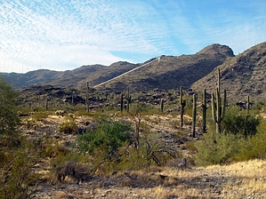


