 Route Editor

| Guide | ♦ | 134 Triplogs | 0 Topics |
details | drive | no permit | forecast | route |
stats |
photos | triplogs | topics | location |
| 258 | 134 | 0 |
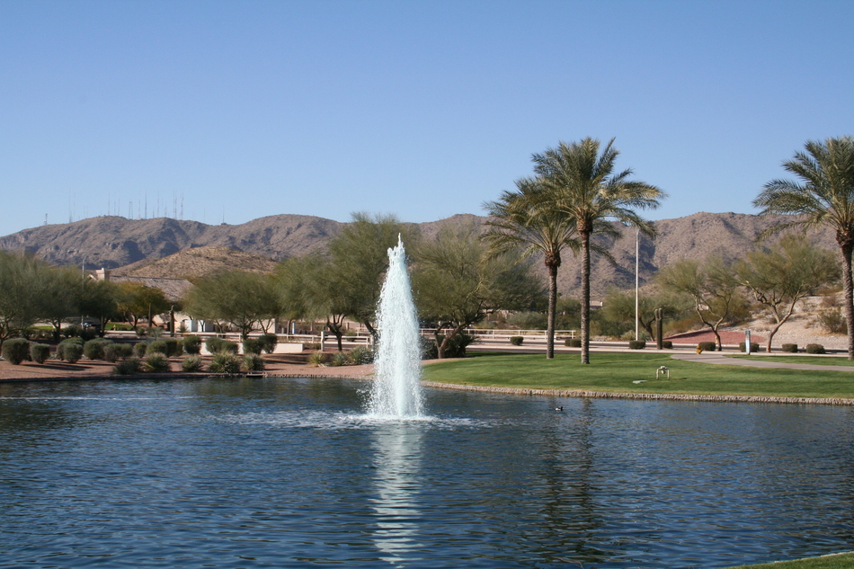
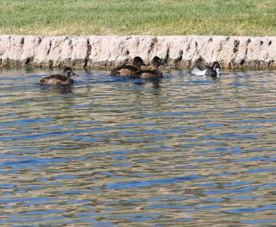
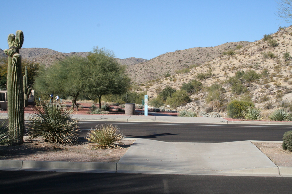
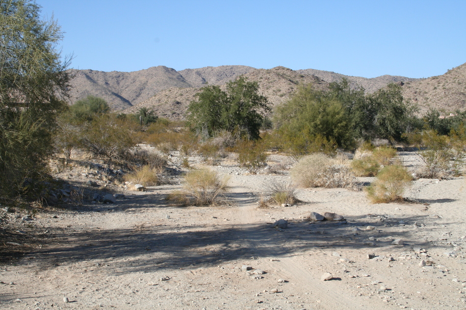
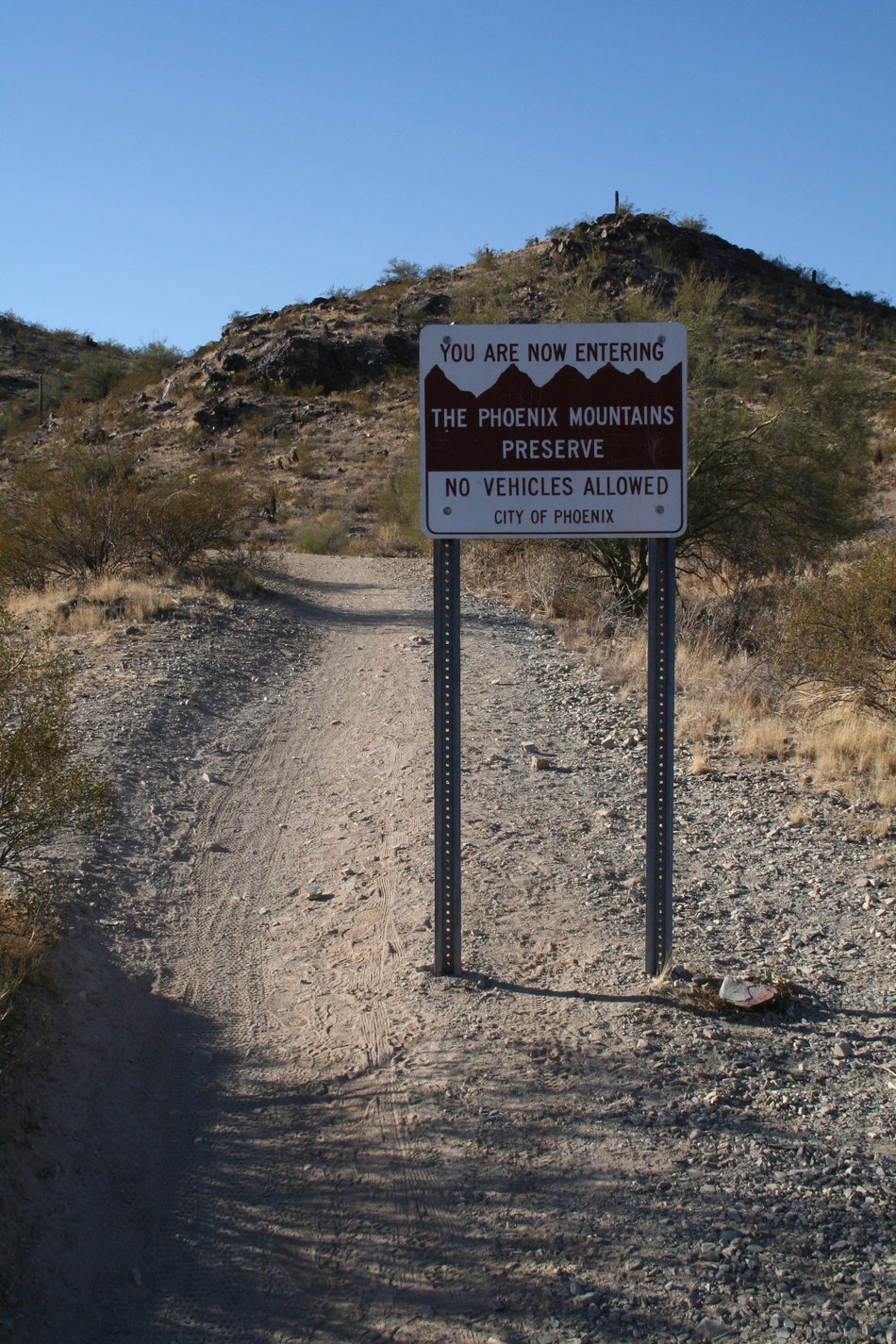
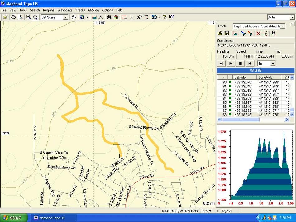
Rock Wrens in the Mist by Randal_Schulhauser  This is a popular South Mountain access trail for residents, either hiking or mountain biking. There are multiple side trails and loops back, creating seemingly endless choice possibilities. Start your hike from an oasis in the desert beside a man-made lake. There always seems to be some sort of wildlife near here. Take note of the park benches around the lake... they may come in handy for a rest on the way out! This is a popular South Mountain access trail for residents, either hiking or mountain biking. There are multiple side trails and loops back, creating seemingly endless choice possibilities. Start your hike from an oasis in the desert beside a man-made lake. There always seems to be some sort of wildlife near here. Take note of the park benches around the lake... they may come in handy for a rest on the way out!The trail heads north away from Ray Road as a concrete pathway that soon gives way to natural Sonoran desert. The trail is usually rutted from mountain bike tires, making trail finding easy. You crisscross the main wash many times as you make your way to the Phoenix Mountain Preserve boundary line. A few feet beyond the boundary line, the trail splits at GPS coordinates 33o 19.234'N, 112o 01.917'W. Take the right fork that heads initially towards the east and some newly constructed mansions within the S. Canyon Drive gated community.
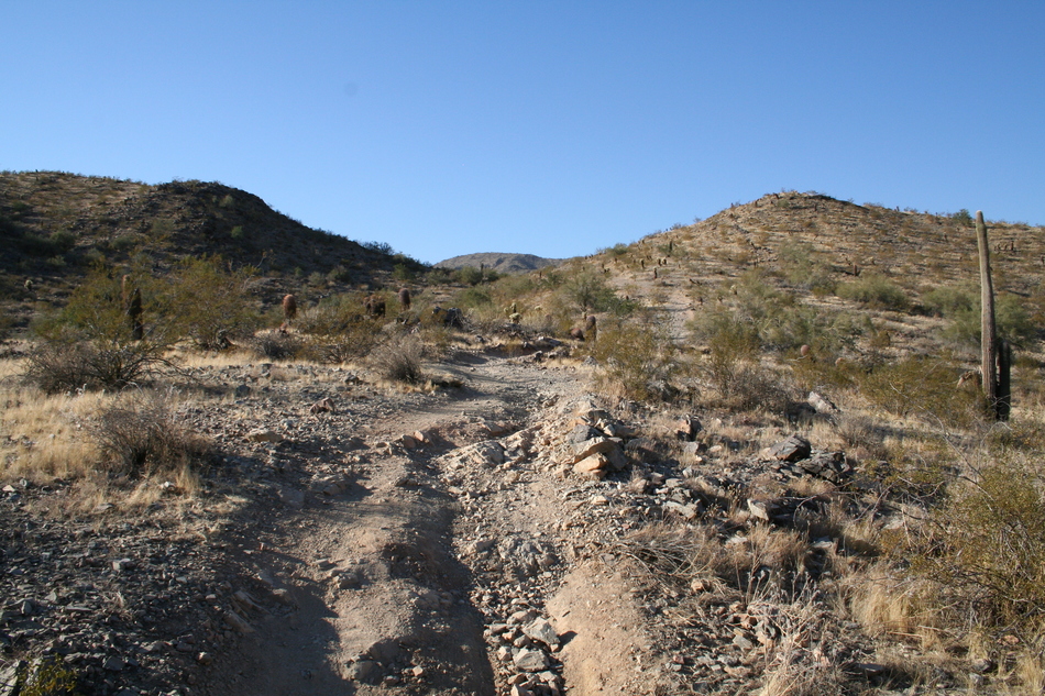
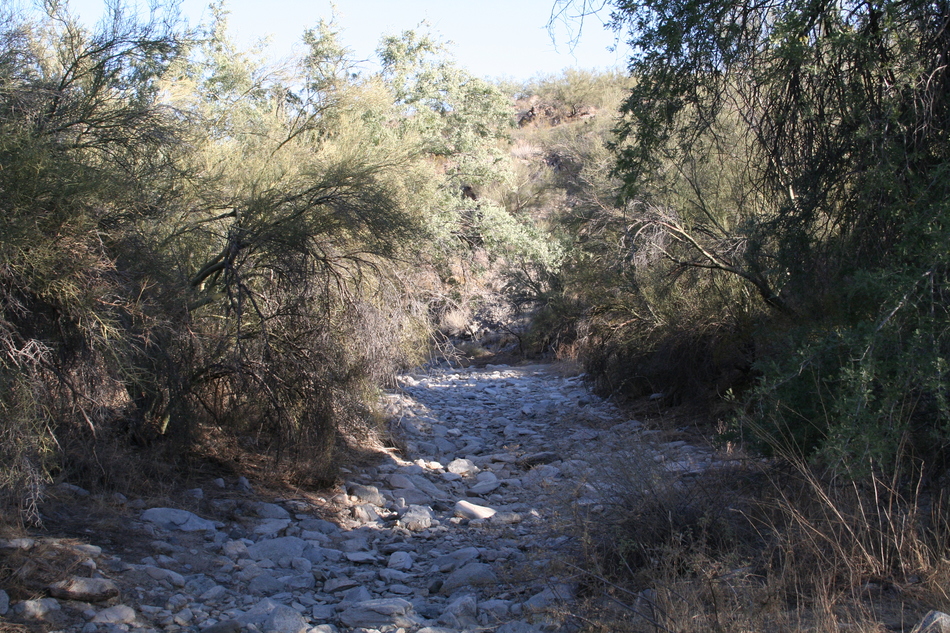
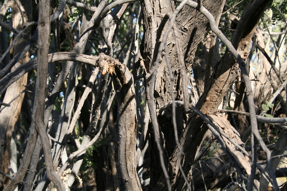
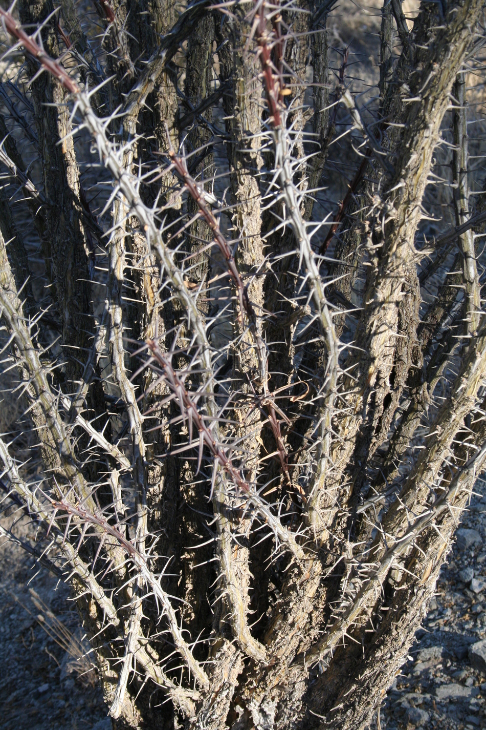
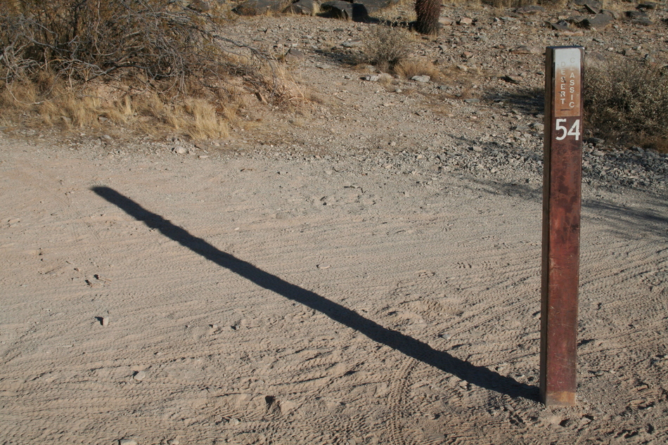
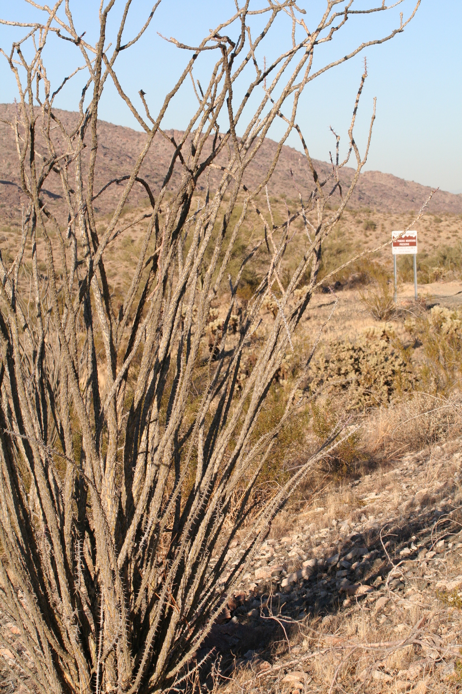
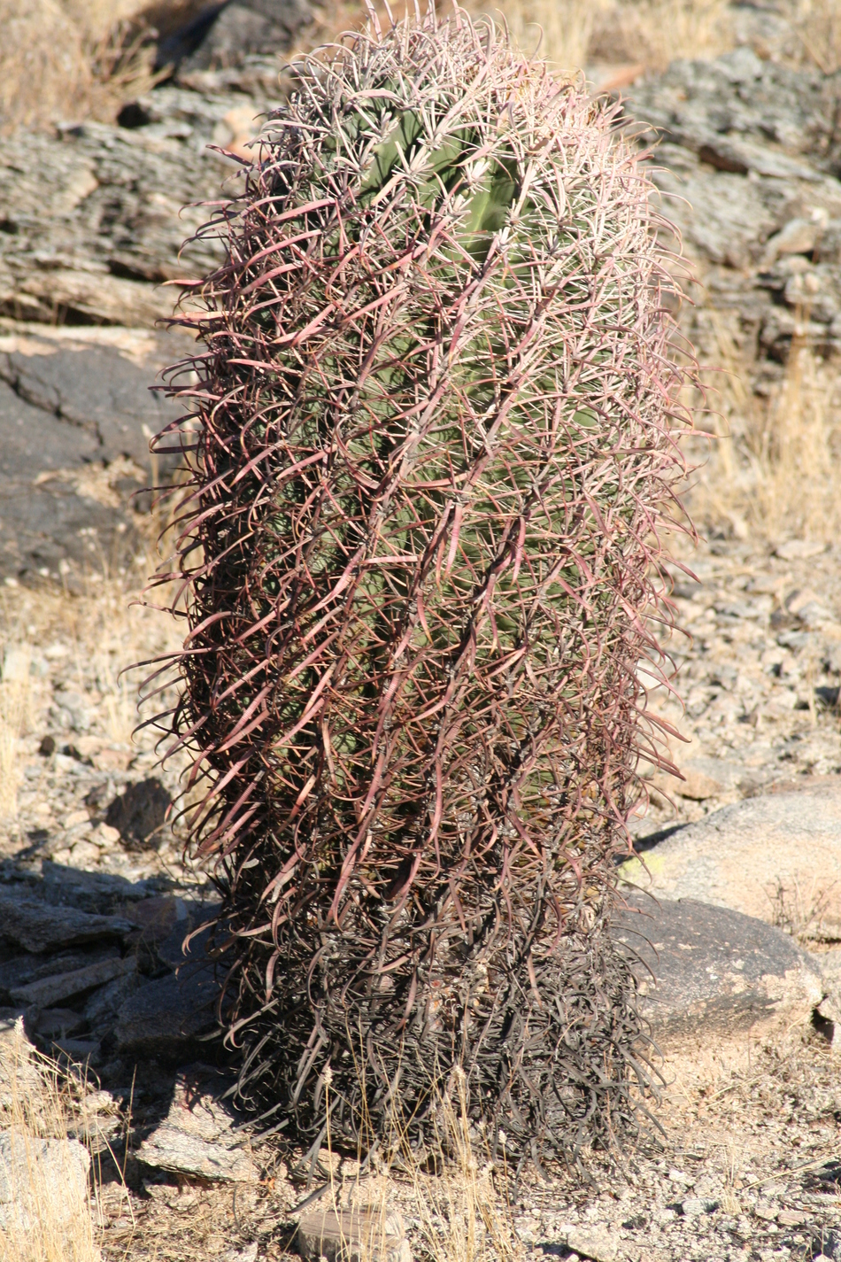
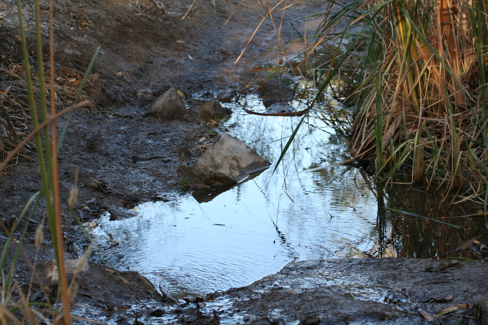
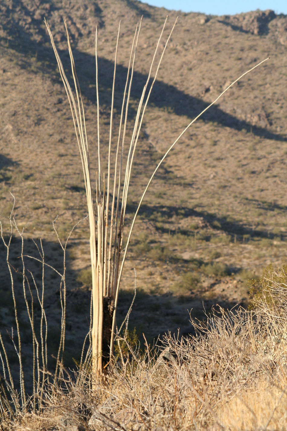
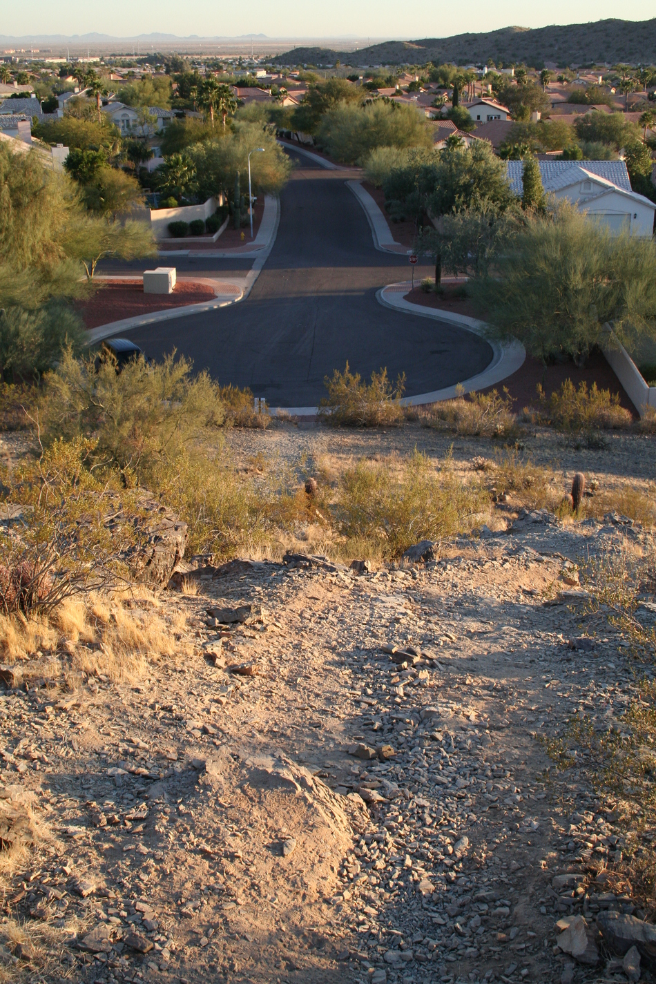
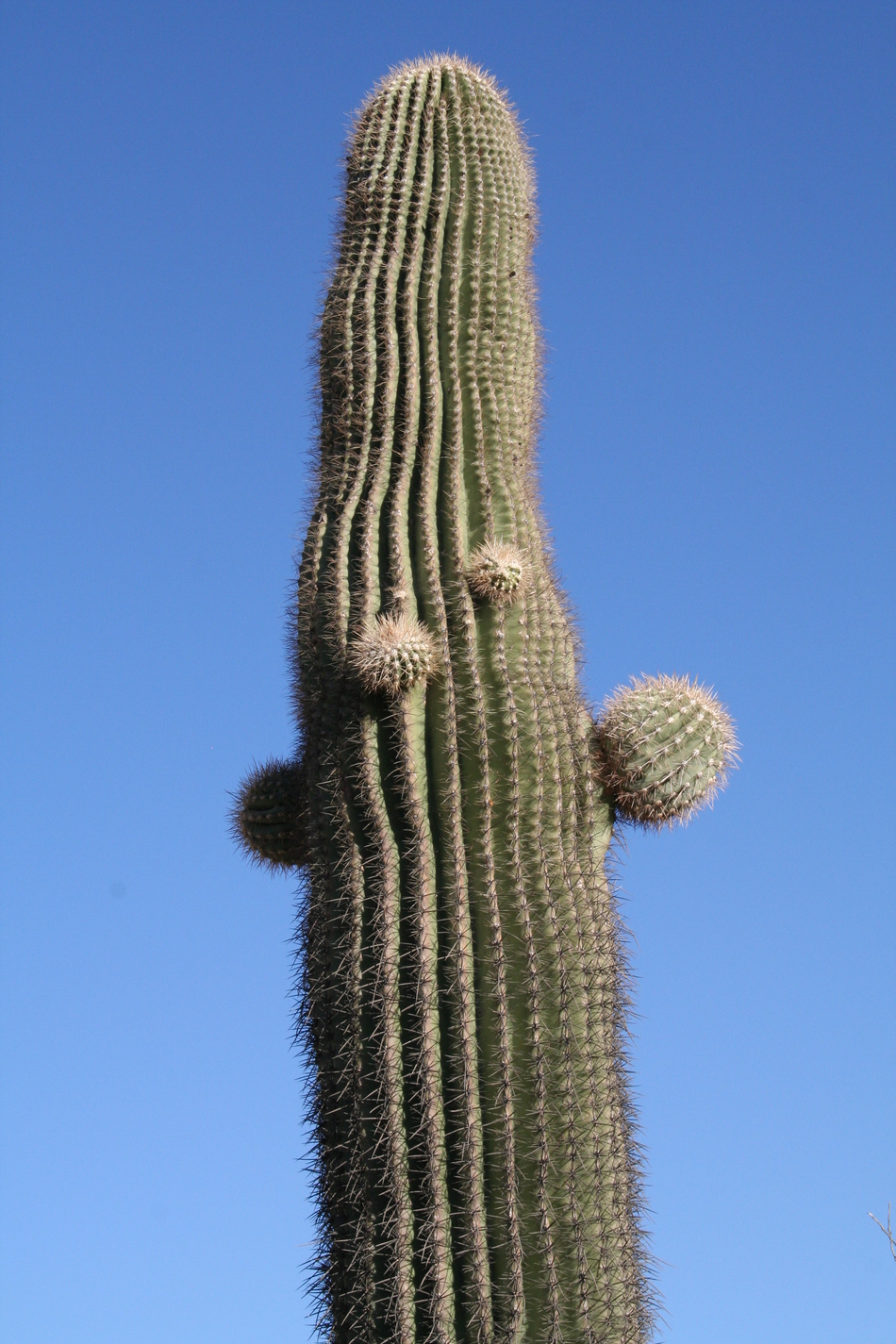
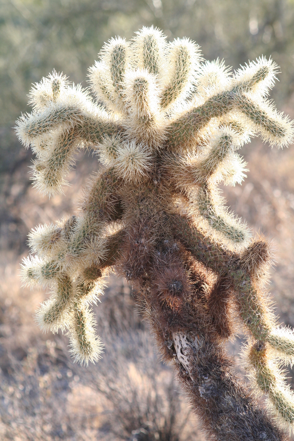
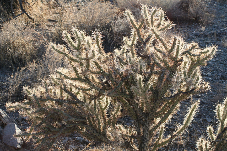
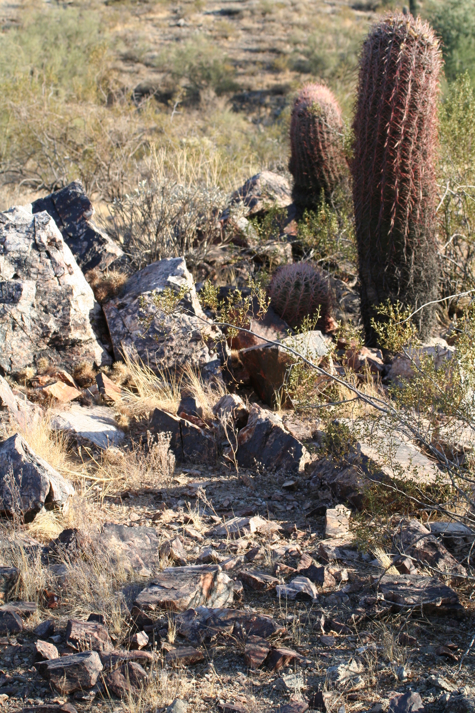
The trail splits again near a wash at GPS coordinates 33o 19.297'N, 112o 02.156'W. The left fork heads south and will take you back to the Rock Wren Access Trail Head. Take the right fork north and climb up to the saddle. The saddle has an elevation of 1542 feet, and given the steady climb from the starting trailhead, it is a frequent rest stop. There is a ridgeline trail that heads west from the saddle. This trail eventually loops north to join with Desert Classic Trail. The Ray Road Access Trail continues north over the saddle as you make your way towards the Desert Classic Trail. The trail down from the saddle drops into another wash. It is possible to follow this wash to the east as it will become an interesting box canyon that will eventually meet up with the Ray Road Access Trail. This wash is surrounded by twisted vegetation overgrowth. A switchback trail rises out of the wash and on towards the junction with Desert Classic Trail at post #54. At this juncture, you have traveled 1.69 miles from the Ray Road trailhead. You have the option of exploring Desert Classic Trail or retracing your steps back to the saddle and down to the wash junction with Rock Wren Trail at GPS coordinates 33o 19.297'N, 112o 02.156'W. Rock Wren Trail starts to head south but will soon bend to the west near the Phoenix Mountain Preserve boundary line sign. Teddy Bear Cholla, Fish Hook Barrel Cacti and Hedge Hog Cacti are common in this area. As the trail heads west it will soon come to a forked junction. Choose the south trail that descends into spring with a permanent water supply. The spring is near GPS coordinates 33o 19.124'N, 112o 02.122'W and has the lowest elevation (1401 feet) for the local vicinity. This reliable spring attracts wildlife... many quail scurrying through the bushes, along with cactus wrens and evidence of coyotes. Puddle jumping is required on this section of the trail. The water flow will soon disappear underground, and the trail will follow the wash. Near GPS coordinates 33o 19.127'N, 112o 02.078'W, the trail will fork again. The east fork (left) continues near the wash to meet up with the Ray Road Access Trail. The south fork (right) ascends a foothill with an elevation of 1575 feet. The exposed slope has some interesting cholla skeletons and saguaro skeletons. Once you made the top of the summit, views of Ahwatukee and South Mountain are offered. Some convenient rocks make suitable sitting benches. The trail follows the ridgeline towards the E. Rock Wren Road trail head. This is one of my favorite local trails, not just because I can walk to it from my doorstep, but due to its seemingly endless variety. Now I'll be able to log those trips! Enjoy! Gate Policy: If a gate is closed upon arrival, leave it closed after you go through. If it is open, leave it open. Leaving a closed gate open may put cattle in danger. Closing an open gate may cut them off from water. Please be respectful, leave gates as found. The exception is signage on the gate directing you otherwise.
Check out the Official Route and Triplogs. Leave No Trace and +Add a Triplog after your hike to support this local community. | ||||||||||||||||||||||||||||||||||||||||||||||||||||||||||||||||||||||||||||||||||||||||||||||||||||||||||||||||||||||||||||||||||||||||||||||||||||||||||||||||||||||||||||||||||||||


