 Route Editor

| Guide | ♦ | 129 Triplogs | 8 Topics |
details | drive | no permit | forecast | 🔥 route |
stats |
photos | triplogs | topics | location |
| 1.8k | 129 | 8 |
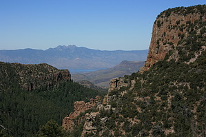
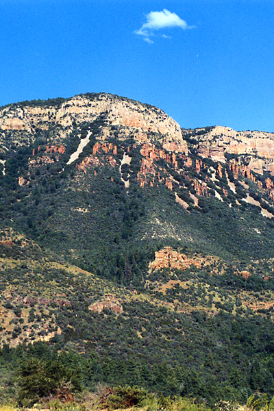
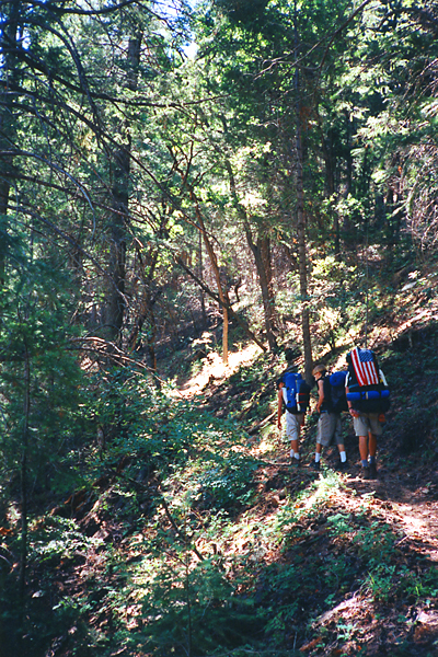
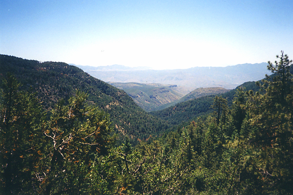
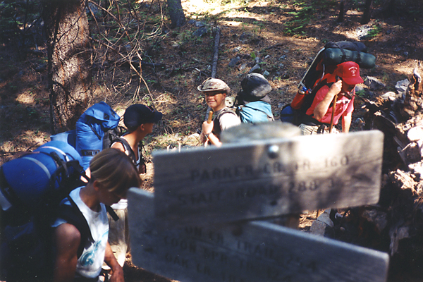
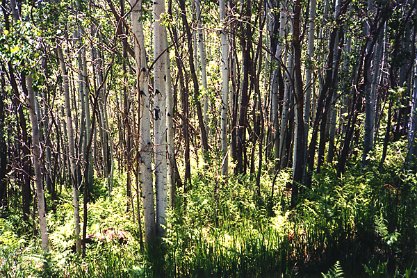
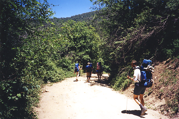
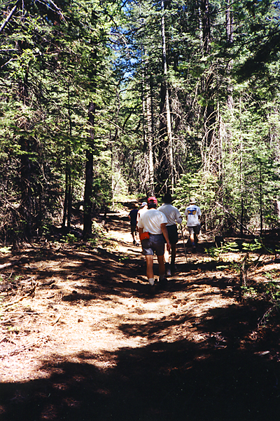
Stairway to Aztec Peak by PrestonSands   Parker Creek Trail #160 was my first hike into the Sierra Ancha, and a great introduction to an incredibly beautiful area. Towards the end of the trail (the last mile or so), you will pass through an area burned by the Coon Creek Fire of April 2000. This trail begins on the southern end of Highway 288, just as you begin to reach the pine country, and ends at Forest Road 487 (currently closed to vehicles) between Workman Creek Falls and Aztec Peak. This hike makes a great backpack into the Workman Creek Falls/Aztec Peak area. For me, this is in my top five most favorite backpacking trips of all time. Parker Creek Trail #160 was my first hike into the Sierra Ancha, and a great introduction to an incredibly beautiful area. Towards the end of the trail (the last mile or so), you will pass through an area burned by the Coon Creek Fire of April 2000. This trail begins on the southern end of Highway 288, just as you begin to reach the pine country, and ends at Forest Road 487 (currently closed to vehicles) between Workman Creek Falls and Aztec Peak. This hike makes a great backpack into the Workman Creek Falls/Aztec Peak area. For me, this is in my top five most favorite backpacking trips of all time.The trailhead is on a short side road off highway 288, at the base of some switchbacks that carry 288 into the high pine country, approximately 23 miles north of the Highway 188 junction, just past the ADOT highway maintenance housing. The trailhead has room for four or five cars, I'd say.
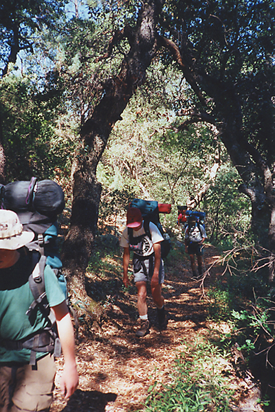
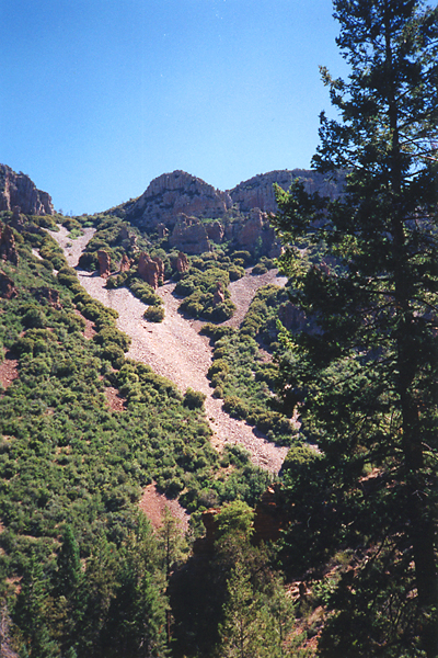
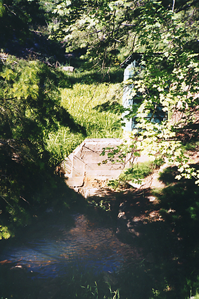
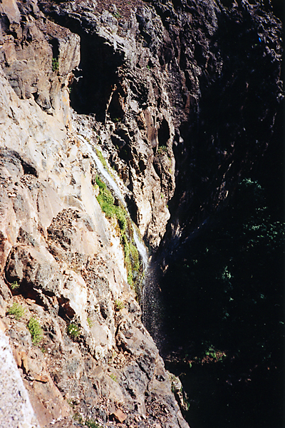
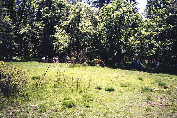
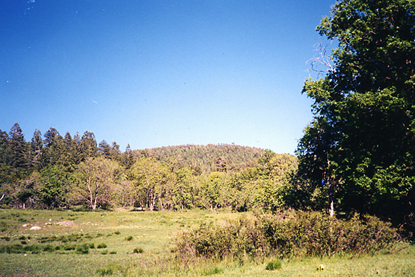
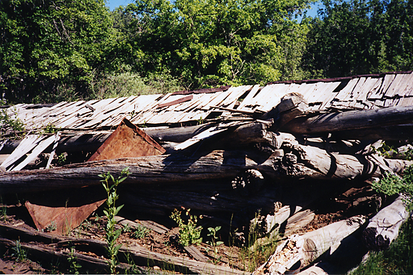
We continued down the road towards Workman Creek Falls, stopping at Workman Creek for water, next to a green, outhouse-like structure (not an outhouse, though). This is about three-quarters of a mile north on the road from where the Parker Creek Trail ends. From this point downstream to Highway 288, Workman Creek has always had water in it when I have been here. It is only another quarter mile down the road from "the outhouse" to Workman Creek Falls, which, if you have never been there, is a must-see! (150-foot drop) Please DO NOT climb on the slippery rocks next to the very edge of the waterfall. At least two people have fallen to their death here! After seeing Workman Creek Falls, we hiked half a mile back up the road towards Aztec Peak and turned north on Abbey's Way Trail #151. We followed this trail a quarter-mile into a beautiful meadow, where we camped in the trees on the edge of it. You could continue on this trail to the top of Aztec Peak, like we did, passing by an old ranch site, and through what used to be a dense, old-growth forest of white fir trees (destroyed by the Coon Creek Fire, sadly). There is a lot to see and do in this area, so start early! 2022 76-second video Check out the Official Route and Triplogs. Leave No Trace and +Add a Triplog after your hike to support this local community. One-Way Notice This hike is listed as One-Way. When hiking several trails on a single "hike", log it with a generic name that describes the hike. Then link the trails traveled, check out the example. | ||||||||||||||||||||||||||||||||||||||||||||||||||||||||||||||||||||||||||||||||||||||||||||||||||||||||||||||||||||||||||||||||||||||||||||||||||||||||||||||||||||||||||||||||||||||||||||||||||||||


