 Route Editor

| Guide | ♦ | 6 Triplogs | 1 Topic |
details | drive | permit | forecast | map |
stats |
photos | triplogs | topic | location |
| 39 | 6 | 1 |
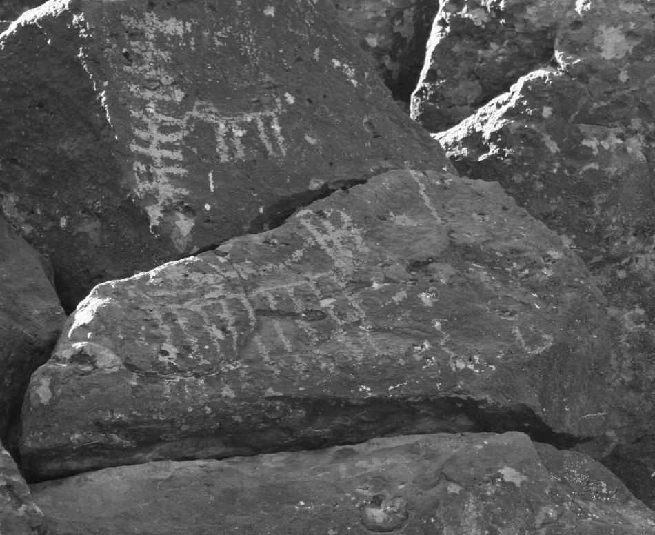
Symbols by Randal_Schulhauser  Formerly known as Deer Valley Rock Art Center Trail. Formerly known as Deer Valley Rock Art Center Trail.Some History I've been curious for some time about the large signs along the I-17 just north of the Loop 101 indicating "Rock Art Museum". Having previously visited the Painted Rocks Petroglyph Site near Gila Bend, mention of a comparable site in the Hedgpeth Hills is noted in the brochure. A quick internet search of "Hedgpeth Hills" will yield "Deer Valley Rock Art Museum". Add to this a recent book purchase of "A Field Guide to Rock Art Symbols of the Greater Southwest" by Alex Patterson to complete the circular association - - I just had to visit.
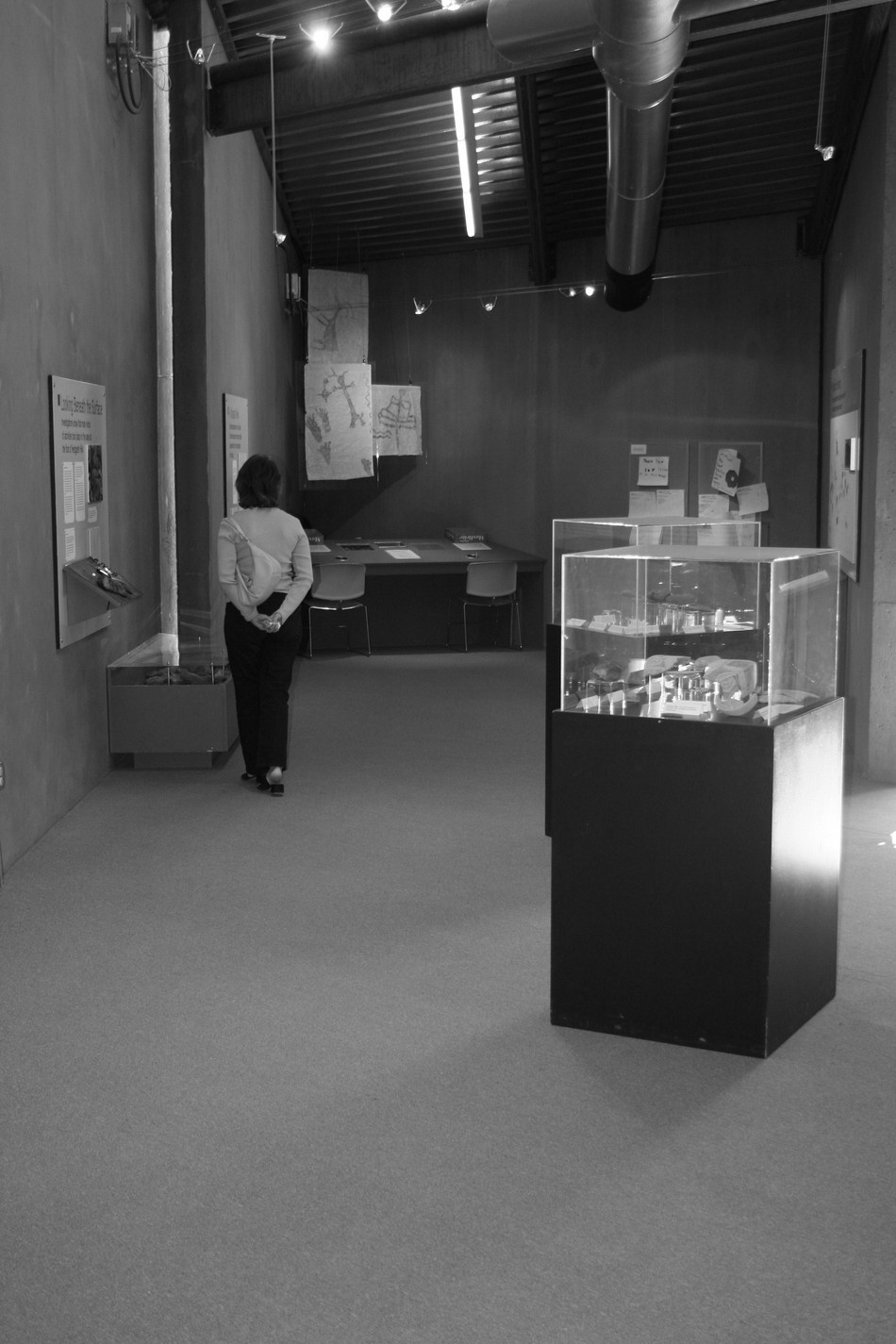
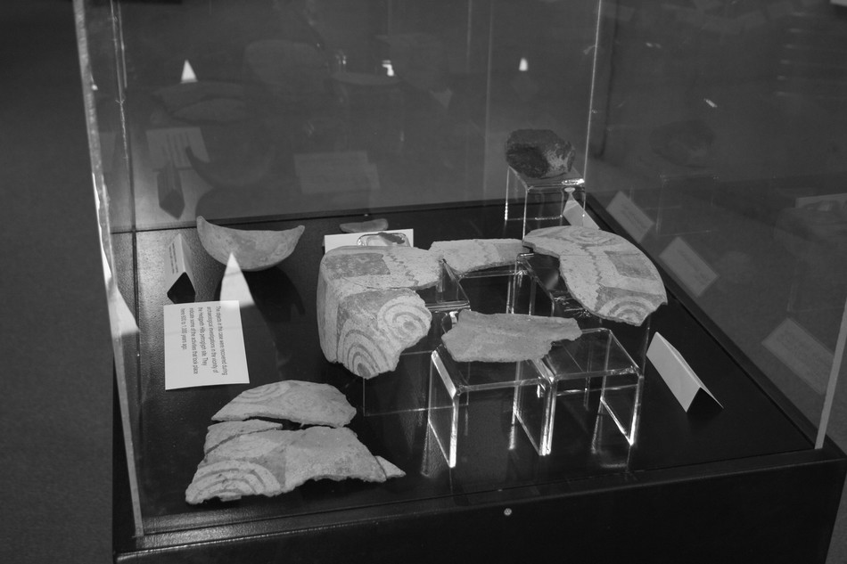
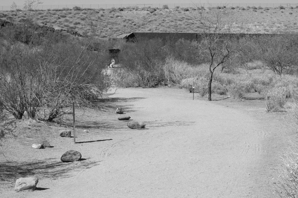
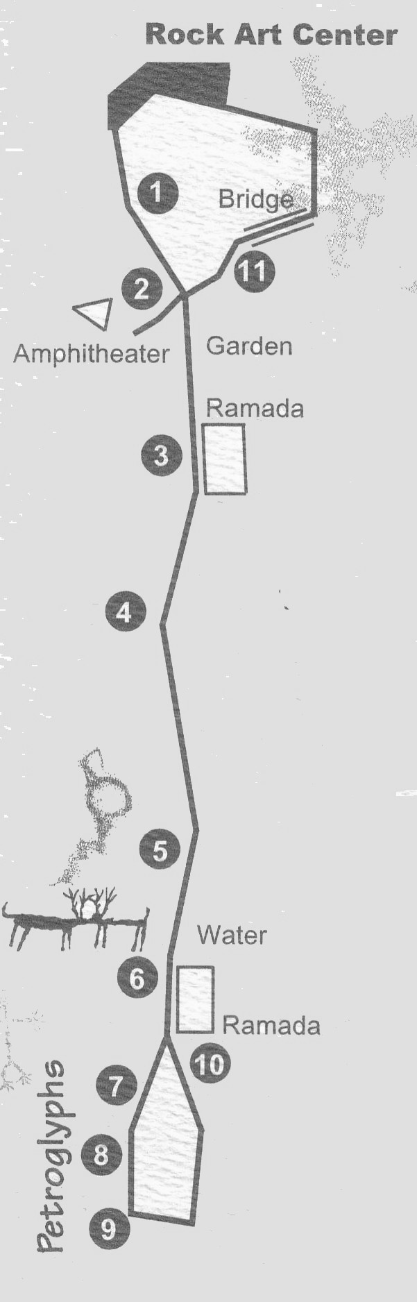
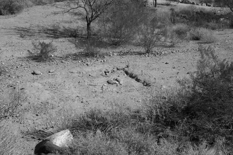
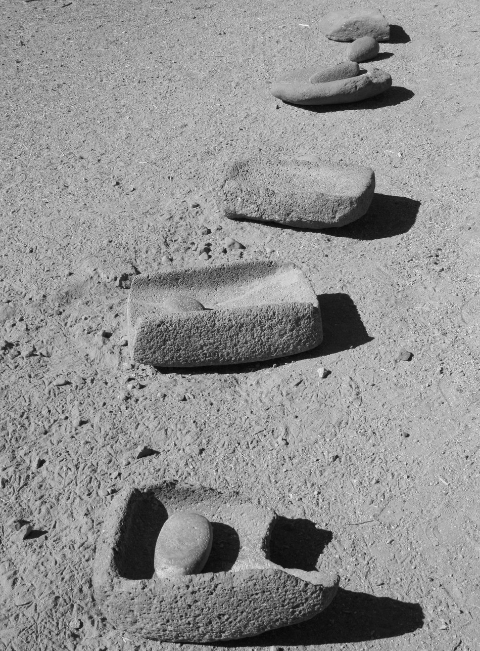
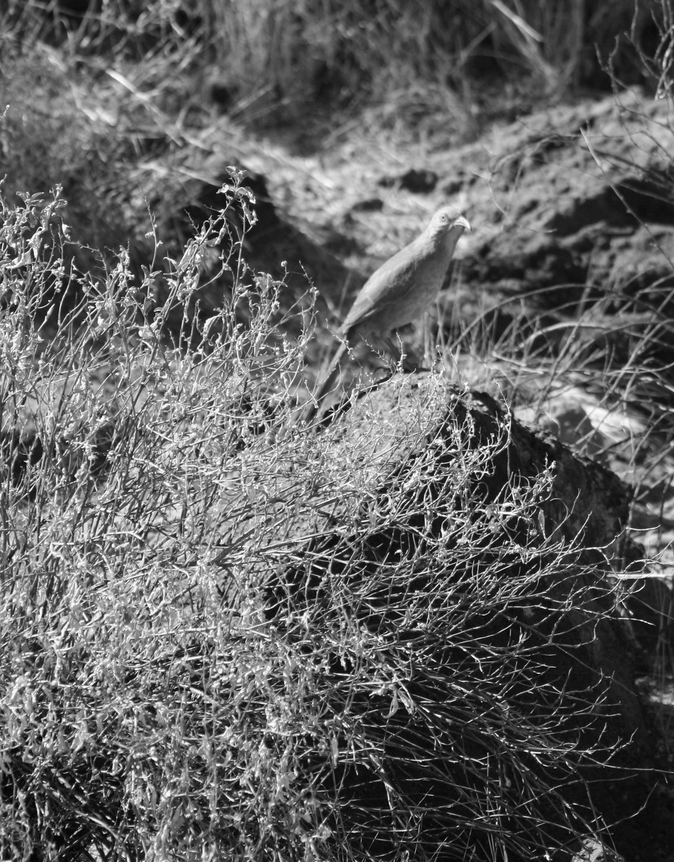
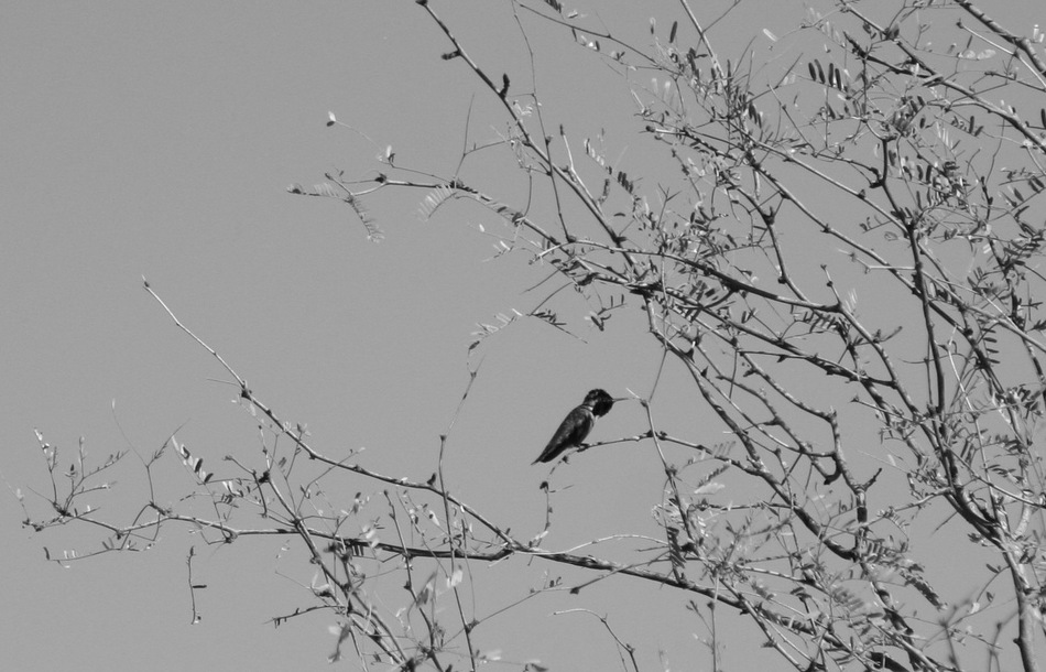
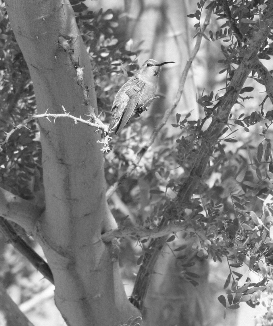
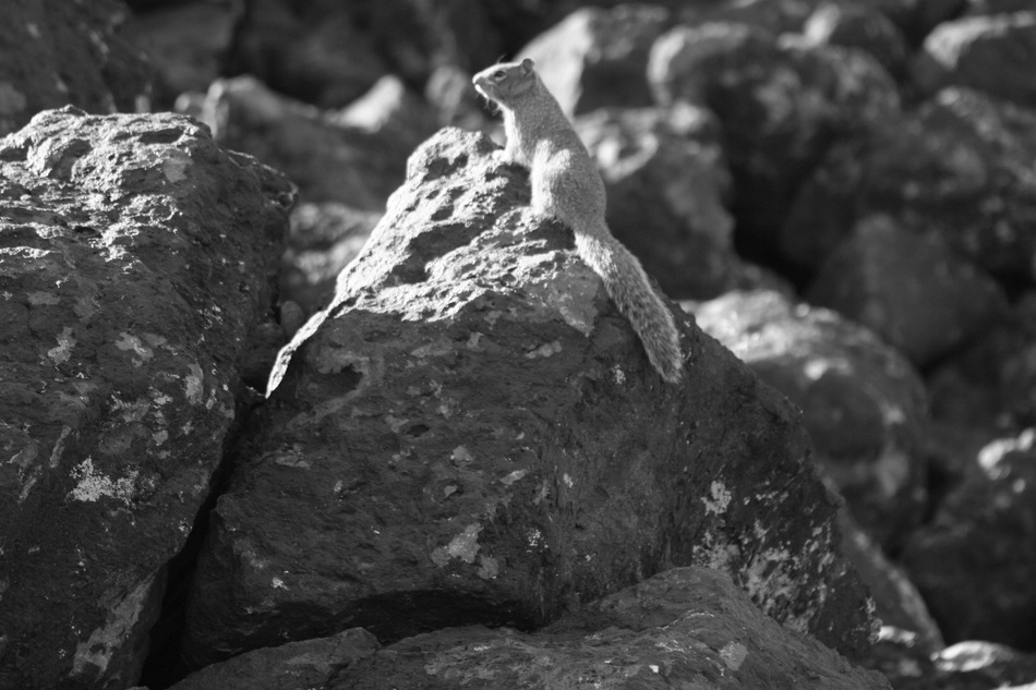
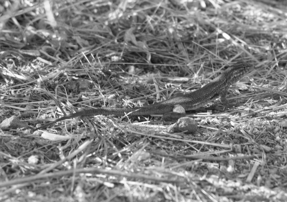
The Deer Valley Rock Art Center was developed from federal, state, county, and city partnerships. Adobe Dam was built in 1980 by the U.S. Army Corps of Engineers to control flooding along Skunk Creek. The dam, the land, and the building are the property of the Flood Control District of Maricopa County. Arizona State University's Department of Anthropology operates the Center. The Hedgpeth Hills petroglyph site is listed on the National Register of Historic Places. It is the second archaeological site to be listed on the Phoenix Historic Property Register. The Rock Art Center was established not only to preserve the 1500 ancient petroglyphs located at the site, but to also provide an academic research center to further the origin, chronology, and interpretation of rock art. Radiocarbon dating of petroglyphs at this site has resulted in ages that range from about 700 years ago to more than 10,000 years ago! The Hike Start your hike at the Visitor's Center by paying the $5/person (16+ years of age). Inside is an interpretive display of various artifacts unearthed during the many archeological digs the past 25+ years. As you exit the Visitor's Center at the west end, you have an option for a self-guided tour using the Trail Guide brochure as reference for the 11 marked observation stations. Or take part in the regularly scheduled Academic/Volunteer guided tours to learn even more! You are reminded to stay on the marked trail, not just out of respect (this petroglyph site has religious significance to native Indians), but for your own safety. Station #1 provides a "valley view" perspective as to what it was like to live near this spot a thousand years ago. Large villages and irrigated fields occupied the region. Skunk Creek flowed most of the year. Remnants of this ancient habitation is being uncovered by an active archeological dig near this station. Station #2 points out "relocated boulders". During the 1980 construction of Adobe Dam, some boulders with rock art were relocated to this site. Note that only a small handful of these boulders have been relocated. The vast majority are as they were for the ancients many years ago. Station #3 for a "geology lesson", particularly the volcanic origins of the basalt used by the Hohokam people to shape into manos and metates used to grind corn. Station #4 gives a "Sonoran desert" lesson, particularly stressing the adaptations made by the plants and animals. There is a requisite Indian garden with corn, squash, and other Hohokam food staples. A surprising number of birds and small animals are present at the site. Station #5 through #9 for "petroglyphs", ninety per cent of the 1571 catalogued glyphs at this site are located between these stations. There are viewing tubes aimed at some particularly significant glyphs. Station #10 for the "ramada" that provides a great resting and observation spot. Station #11 for the "bridge" over Skunk Creek, below the Adobe Dam spillway, serves as a reminder that it is still possible to preserve the past while accommodating the needs of modern man. Summary I'm often asked to recommend "family-friendly" hikes. With my personal preference for the strenuous and extreme, I need to find acceptable compromise hikes for family outings. This relatively short, flat, historical excursion certainly fits the bill. You may want to consider that petroglyphs are best viewed when the sun is at lower angles during the early morning and late afternoon. The mid-day sun tends to mask rock art with excessive glare. If you have a passion for Indian ruins and their rock art, you may want to consider this destination for an easy stroll. Enjoy! Check out the Triplogs. Leave No Trace and +Add a Triplog after your hike to support this local community. | ||||||||||||||||||||||||||||||||||||||||||||||||||||||||||||||||||||||||||


