 Route Editor

| Guide | ♦ | 71 Triplogs | 0 Topics |
details | drive | permit | forecast | route |
stats |
photos | triplogs | topics | location |
| 402 | 71 | 0 |
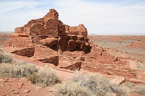
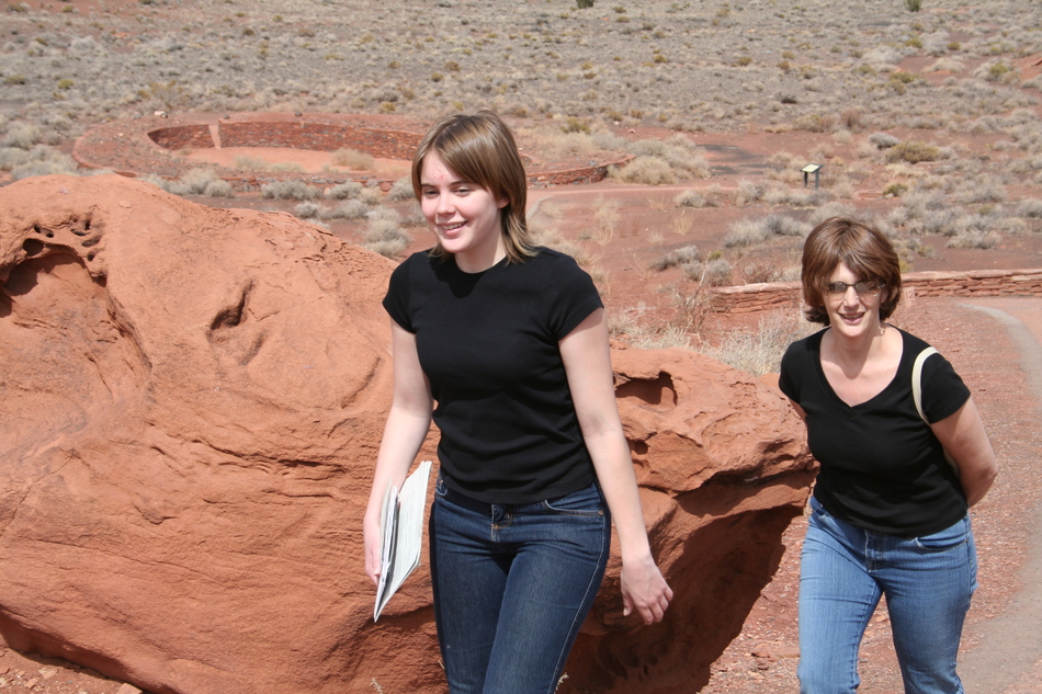
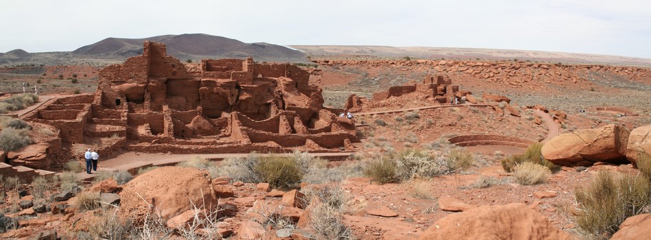
Sinaguan Neighborhood by Randal_Schulhauser   A recent edition of Arizona Highways touted itself as "A trip planning guide to some of the famous ruins across the state". I've frequently passed by Waputki Ruins National Monument on my various travels to the canyon lands of Arizona and Utah but decided the next time we're in the area we'd visit the ruins. That "next time" came when we returned my daughter to NAU at the end of her March Break. A recent edition of Arizona Highways touted itself as "A trip planning guide to some of the famous ruins across the state". I've frequently passed by Waputki Ruins National Monument on my various travels to the canyon lands of Arizona and Utah but decided the next time we're in the area we'd visit the ruins. That "next time" came when we returned my daughter to NAU at the end of her March Break.Some History: "All the prominent points occupied by the ruins of stone houses of considerable size. They are evidently the remains of a large town, as they occurred at intervals for an extent of eight or nine miles and the ground were thickly strewn with fragments of pottery in all directions." - Journal entry by Captain Lorenzo Sitgreaves at Camp No. 14, October 8th, 1851.
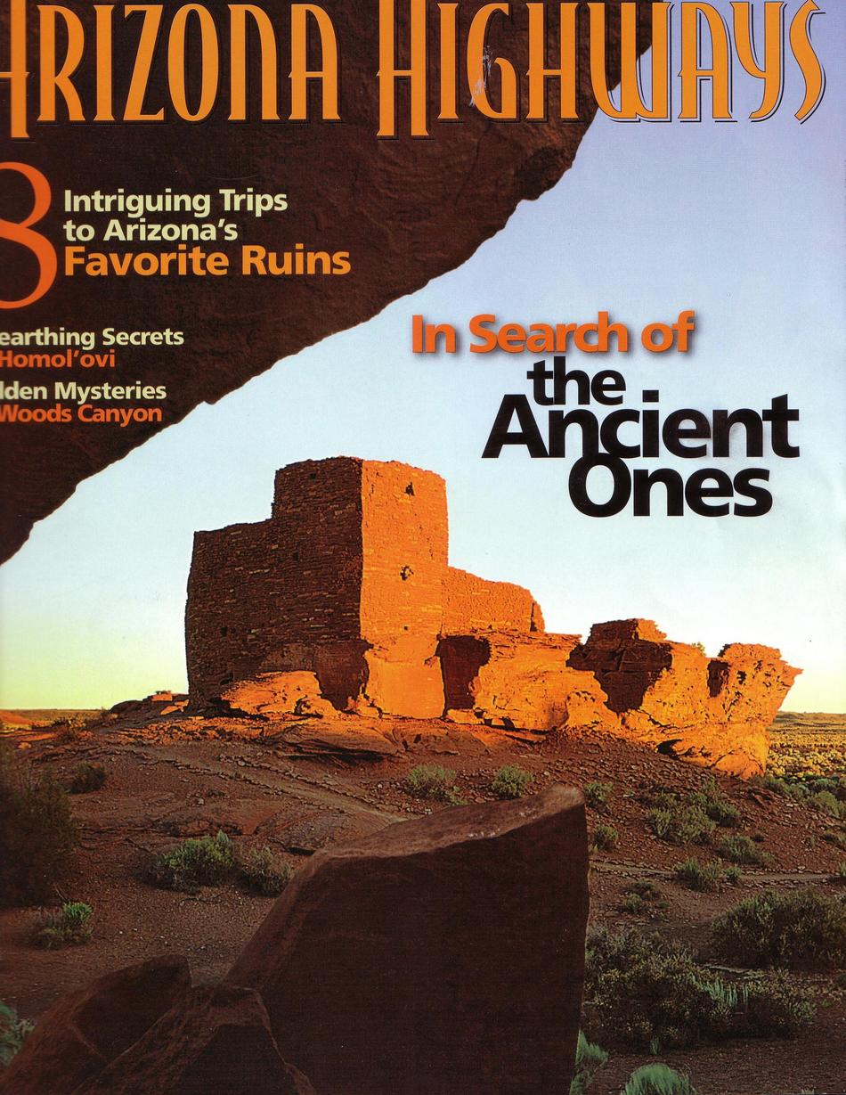
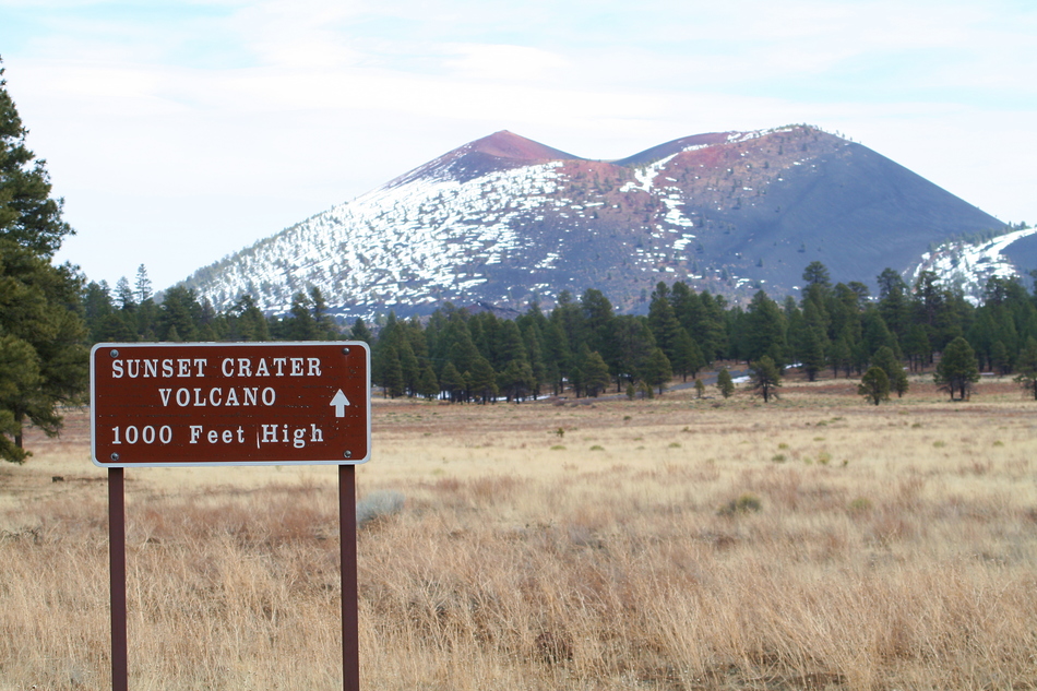
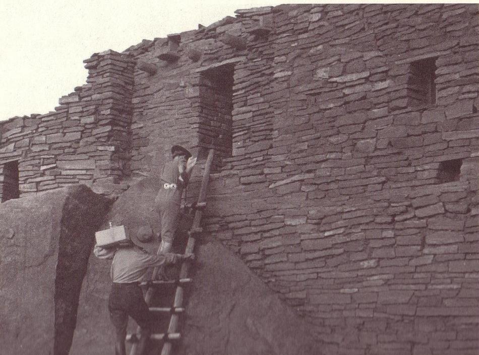
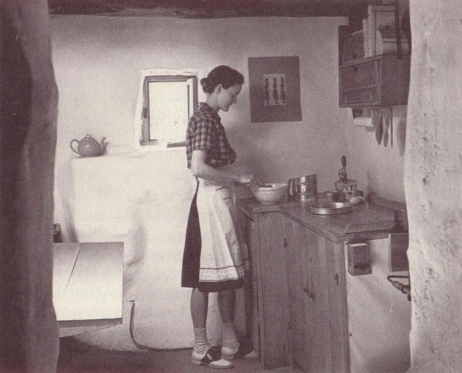
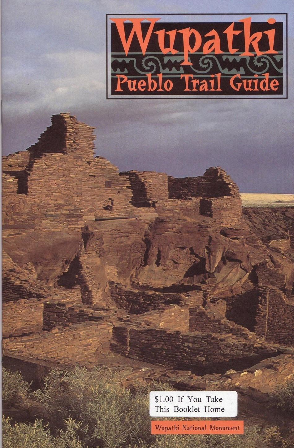
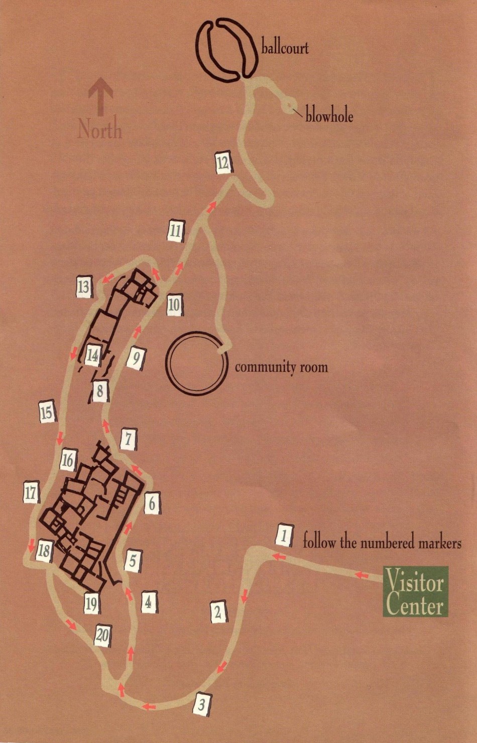
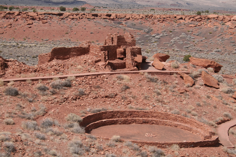
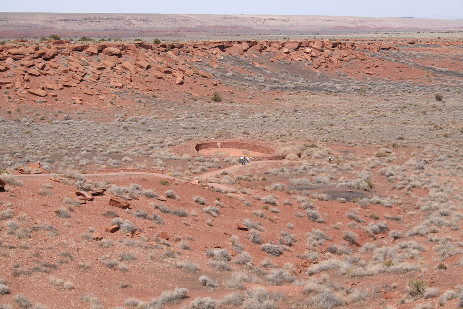
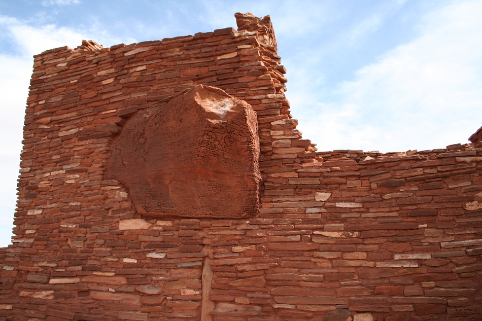
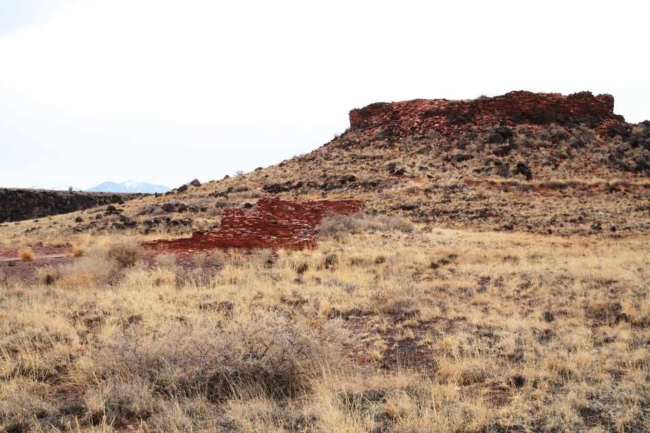
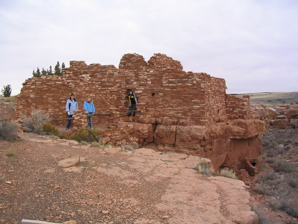
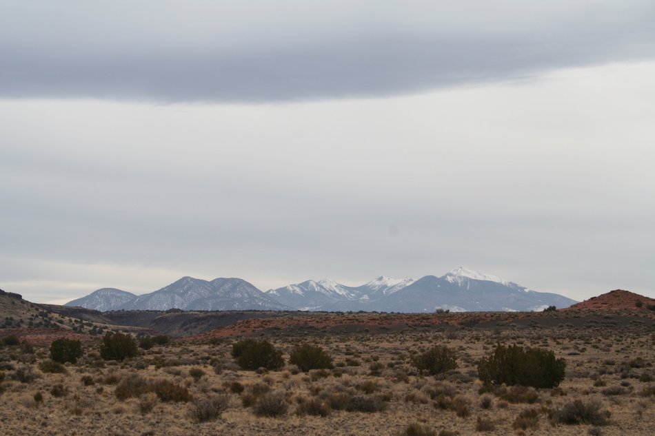
Although there is evidence of prehistoric occupation in the area for more than 2000 years, events in 1064 and 1066 AD, about 15 miles to the south, seemed to create favorable conditions to support a population boom. Eruptions from Sunset Crater Volcano deposited a layer of fertile, water-retaining, ash to the local soil. All the ruin sites saw many rooms added throughout the 1100s until they could house perhaps 80 to 100 people each. In 1212 the last log was cut and placed into Waputki Pueblo, and construction continued at some outlying sites. By 1225, a scant generation later, over-population, crop failures, and drought prompted abandonment by many families. According to Hopi oral tradition, most moved to Homolovi (near present-day Winslow). Others relocated to the Verde Valley, particularly Montezuma Castle and Tuzigoot. In the 1700s and 1800s, some Navajo families resided in and about the ruins. By 1882, with the arrival of the railroad through Flagstaff, visitations to the ruins rapidly increased. Pot hunting and other souvenir hunting seemed to be the norm during this time. Looting became such a concern that it prompted the formation of the Waputki Ruins National Monument in 1924. I find it curious that Park Rangers once lived in Waputki Pueblo. During the 1930s and 40's a policy of reconstruction prevailed. This was reversed in the 1950s and led to removing the walls and roofs shown in these older photos. Hiking Wukoki Pueblo Trail: (aka "Big House" in Hopi language) This set of ruins was built upon a relatively low sandstone butte. There is a well-marked 0.4-mile loop trail from the parking lot "trailhead". The surrounding rock formations and boulders can provide interesting foreground subjects when photographing the ruins. The Arizona Highways cover shot illustrates some of the possibilities. You can also use the Painted Desert as a dramatic backdrop. Great photo-ops, too bad I left the camera behind when we hiked this trail! Hiking Wupatki Pueblo Trail: (aka "Tall House" or "Long-Cut House" in Hopi Language) At the Visitor Center, pay the National Monument entrance fee or show your NPS Annual Pass for free admission. As you walk through the Visitor Center, there are displays of artifacts. Most were unearthed during the many archeological excavations conducted since the ruins were declared a National Monument in 1924. Pick up a Wupatki Pueblo Trail Guide at the Ranger's desk. The guide has 20 numbered sections that correspond to 20 signed stops along the trail. Each section offers a glimpse of the Wupatki historical record. As you walk out of the Visitor Center and head to the west, you'll soon reach a look-out point offering a complete view of the ruins site. The 3-story tall pueblo, the "Tall House", dominates the view. In the foreground is a large, circular, open-aired, community room. The smaller central pueblo lies in the background of the community room and remains largely unexcavated. At the extreme north end of the loop trail lies a ball court and blow hole. As you continue along the 0.5 mile loop trail, take note of the architectural details. Notice how some sandstone boulders have been incorporated into the walls. Hiking Citadel Pueblo Trail: Take the 0.3-mile loop trail that circles this fortress-like ruin located on the top of a small hill. You'll have sweeping views of the San Francisco Peaks to the south and the Painted Desert to the north from this vantage. Nalakihu ruins lie at the foot of the hill close to the roadside. Hiking Lomaki Pueblo Trail: (aka "Beautiful House" in Hopi language) This 0.4 loop trail will also take you to the Box Canyon Dwellings located slightly south of Lomaki pueblo. Summary: I'm often asked to recommend "family-friendly" hikes. With my personal preference for the strenuous and extreme, I need to find acceptable compromise hikes for family outings. This relatively short, flat, historical excursion certainly fits the bill. If you want to incorporate more of a workout, I'd recommend bringing your bike along to make the trek between the major ruins. I saw at least half a dozen riders making the circuit, some on road bikes and some on mountain bikes. If you have a passion for Indian ruins, you may want to consider this destination for an easy stroll or an interesting bike ride. Enjoy! Check out the Official Route and Triplogs. Leave No Trace and +Add a Triplog after your hike to support this local community. | ||||||||||||||||||||||||||||||||||||||||||||||||||||||||||||||||||||||||||||||||||||||||||||||||||||||||||||||||||||||||||||||||||||||||||||||||||||||||||||||||||||||||||||||||||||||||||


