 Route Editor

| Guide | ♦ | 67 Triplogs | 4 Topics |
details | drive | no permit | forecast | 🔥 route |
stats |
photos | triplogs | topics | location |
| 727 | 67 | 4 |
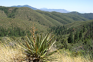
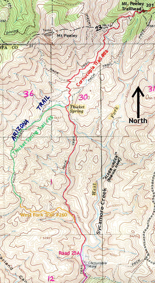
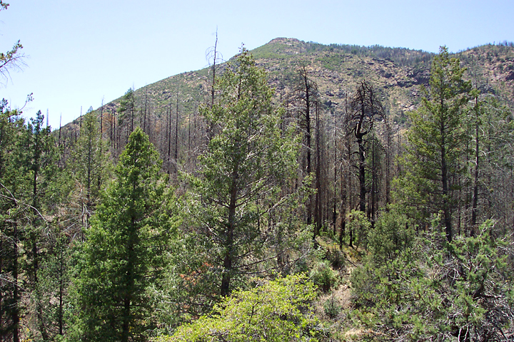
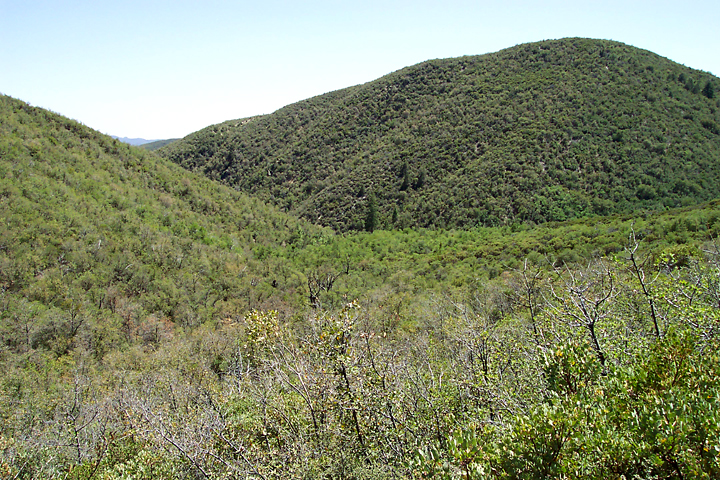
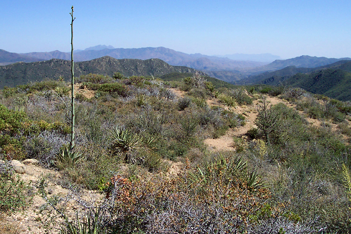
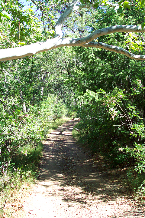
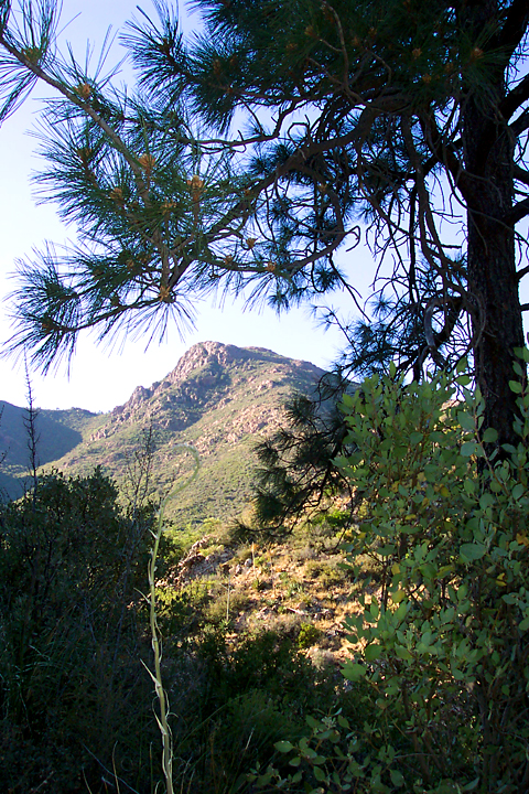
Quicksilver Country by PrestonSands   This loop hike starts in the central Mazatzal Mountains at the foot of 7030' Mount Peeley, climbs over brushy hillsides with great views, and treats you to some riparian areas and old mines. This area of the Mazatzals is unusual in that one moment you can be hiking across a brushy hillside, and the next you come across douglas fir trees. A portion of this hike is on the Arizona Trail. This loop hike starts in the central Mazatzal Mountains at the foot of 7030' Mount Peeley, climbs over brushy hillsides with great views, and treats you to some riparian areas and old mines. This area of the Mazatzals is unusual in that one moment you can be hiking across a brushy hillside, and the next you come across douglas fir trees. A portion of this hike is on the Arizona Trail.Beginning at Mt. Peeley trailhead, the Cornucopia Trail (trail 86) heads southwest on an old road, across the eastern slopes of Mt. Peeley. The trail passes through a douglas fir forest, with occasional ponderosa pines. The rocks along the trail here are still stained red from fire retardant dropped to prevent the 2004 Willow Fire from moving south of Mt. Peeley. After passing the intersection with the Mazatzal Divide trail at 0.5 miles, the Cornucopia Trail leaves the forest behind and begins a steady descent towards Thicket Spring, which is located at the bottom of a little valley in the distance.
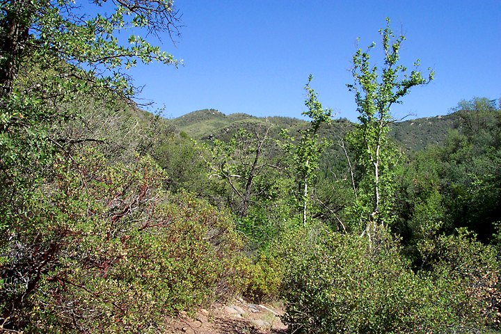
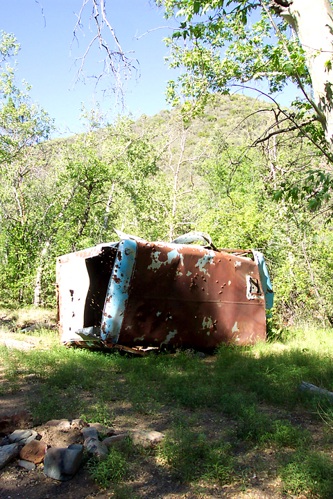
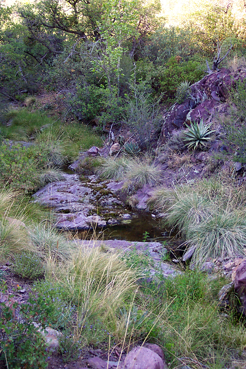
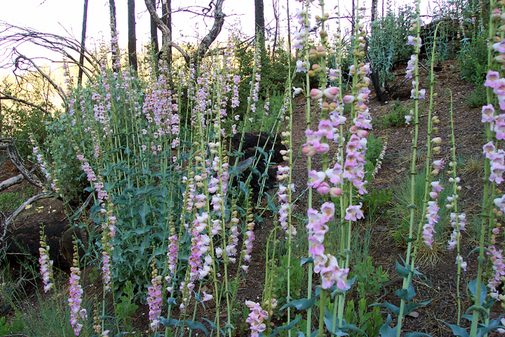
If you have time, the Cornucopia mercury mine is only a half-mile south of here on the Cornucopia Trail. According to a 1927 Arizona Bureau Of Mines bulletin, the Cornucopia Mine was the scene of a lot of activity from 1921 to 1925. The lower tunnel was said to extend 750 feet into the mountainside. Although the mine tunnels have collapsed, there is the old blue bus and a collapsed building to see. It is a beautiful walk along the canyon floor through the sycamores, New Mexican locust bushes, and oak trees, as the trail gradually widens into road 25A. Poison ivy is plentiful along the edge of the trail. Continuing from the end of the West Fork Trail, head north on the Cornucopia Trail as it follows a seasonal creek for a mile or so. I saw a lot of small pools of stagnant water in here, along with columbines, and bear tracks. At the top of this drainage, the trail reaches a saddle, then contours along the western side of the headwaters of Sycamore Creek. Just before reaching the end of the loop, I came to Thicket Spring, where there were some small pools of water. Towering 1800 feet above me was Mt. Peeley, bathed in the late afternoon light. After taking a few photographs, I began the mile and a half ascent back to the Mt. Peeley trailhead. Near the end of the hike, where the Willow Fire had scorched some trees, several hummingbirds were fighting over some large clusters of pink penstemon. Arriving back at the trailhead, I set up my backpacking stove in the bed of my truck, cooked dinner, and watched the sunset over the lofty ridges of the Mazatzals.
Check out the Official Route and Triplogs. Leave No Trace and +Add a Triplog after your hike to support this local community. | ||||||||||||||||||||||||||||||||||||||||||||||||||||||||||||||||||||||||||||||||||||||||||||||||||||||||||||||||||||||||||||||||||||||||||||||||||||||||||||||||||||||||||||||||||||||||||||||||||||||||||||||||


