 Route Editor

| Guide | ♦ | 18 Triplogs | 3 Topics |
details | drive | no permit | forecast | 🔥 route |
stats |
photos | triplogs | topics | location |
| 218 | 18 | 3 |
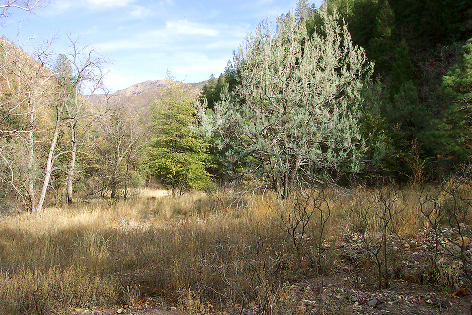
Basecamp for the high Mazatzals by PrestonSands   Overview OverviewThe Davey Gowan loop hike makes use of the Davey Gowan Trail, Deer Creek Trail, and forest road 201. This hike passes near the old "Gowan Camp" homestead, named for David Gowan. History David Gowan was an early Payson area pioneer and the first settler at Tonto Natural Bridge on Pine Creek in 1882. In 1916, seeking solitude, Gowan settled on upper Deer Creek in the Mazatzal Mountains, where he built a log cabin, planted a garden and an orchard, and mined some silver claims. Gowan died in 1924 while hiking out of his homestead and was buried at the intersection of Deer Creek Canyon and Bars Canyon.
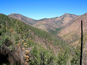
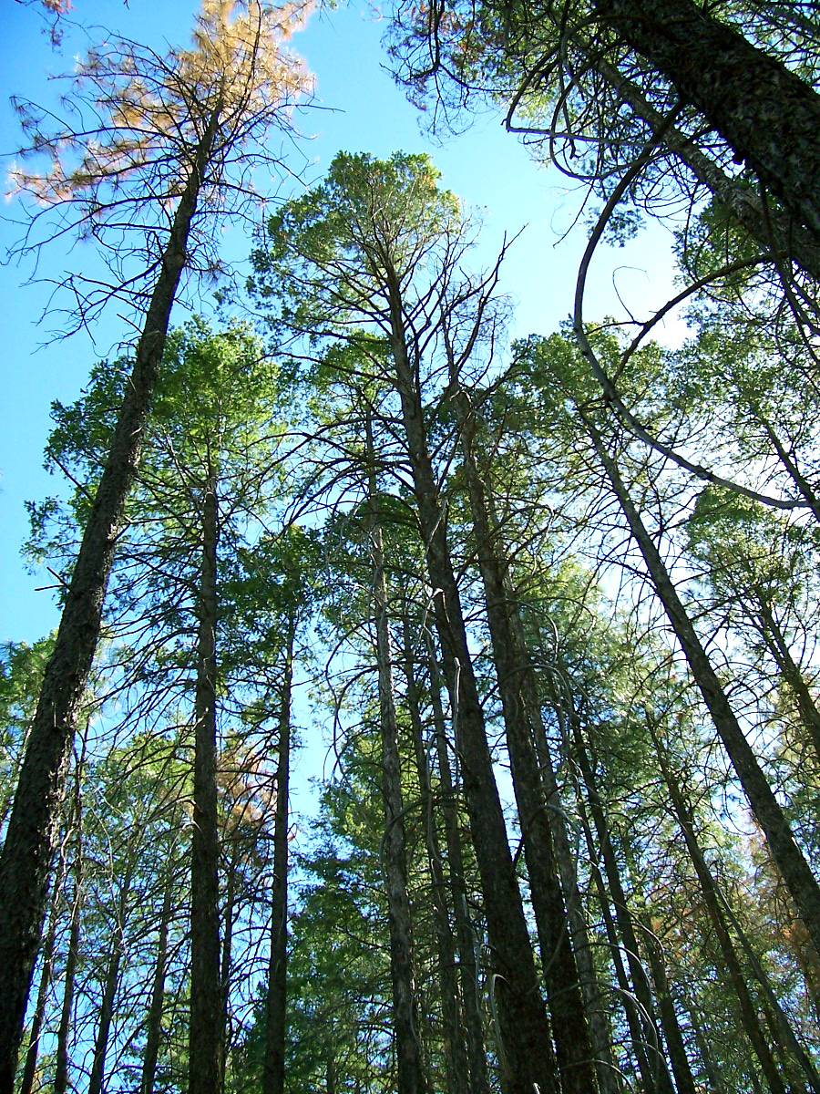
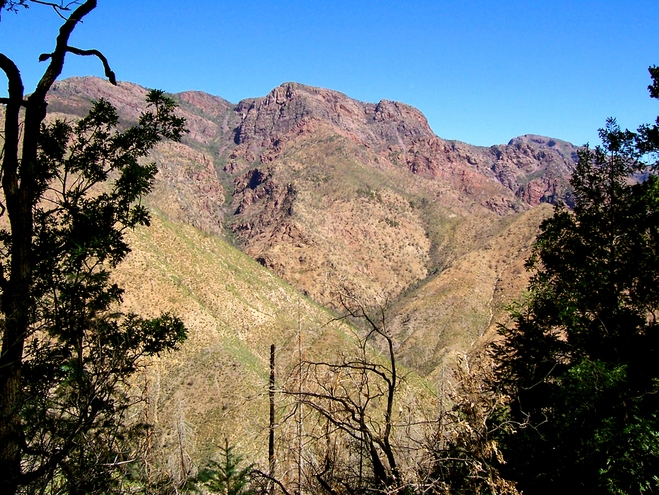
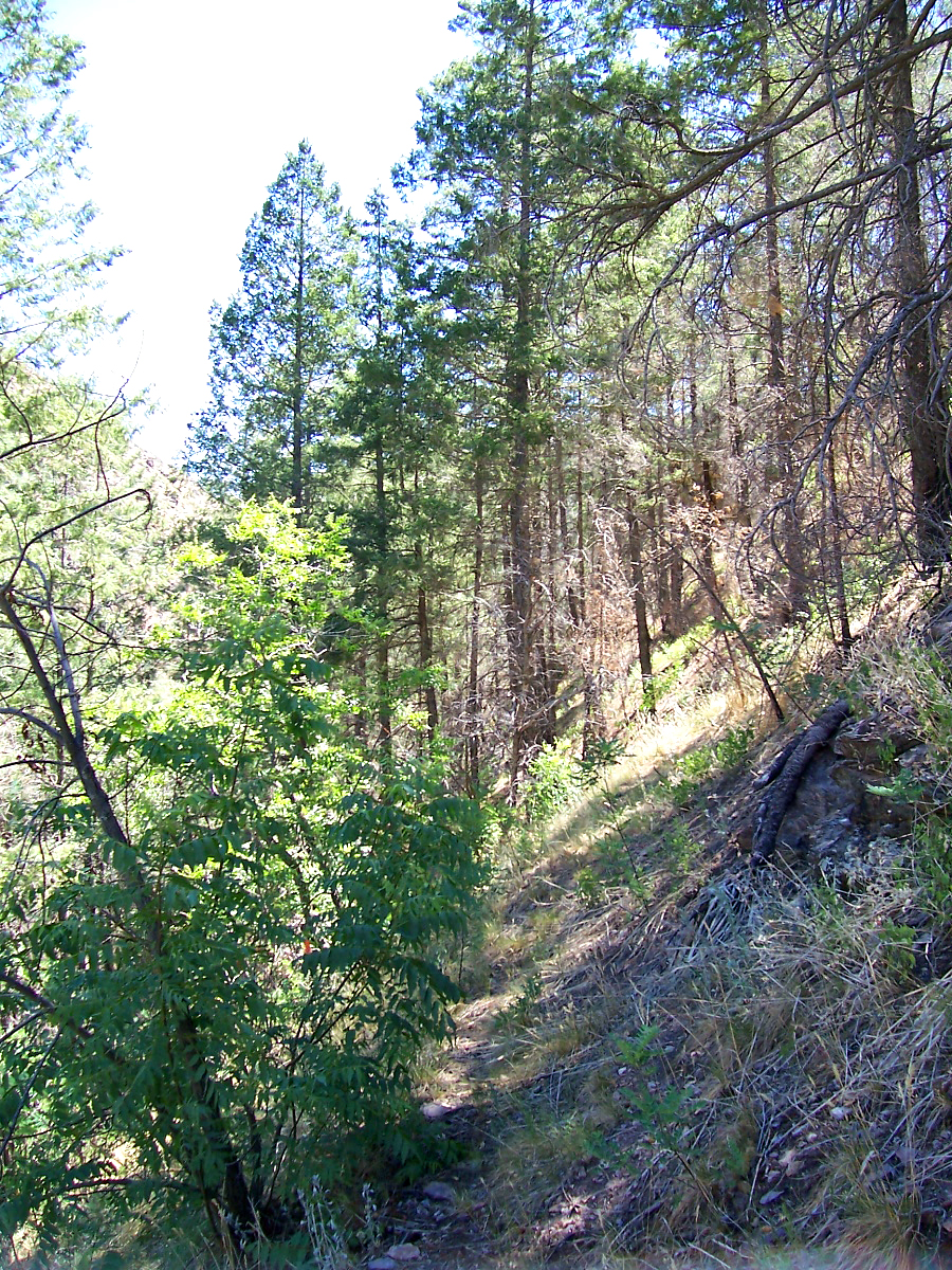
The Davey Gowan Trail #48 begins at a hairpin curve along forest road 201, where there is a small parking area and a forest service trail marker. Most of this trail is overgrown and can be difficult to find in places. Route finding skills and the ability to read a topographical map are helpful. The Davey Gowan trail begins by following a forested ridge northeast until it reaches a small saddle about a half-mile in. The trail passes in and out of areas burned by the Willow Fire and will do so for the rest of the loop. However, except for the bottom of Deer Creek Canyon, the fire wasn't too severe in this area of the Mazatzals. Below the saddle, the trail starts to switchback and begins a 1000 foot drop through the fir trees down the southern slope of Deer Creek Canyon. There are some great views along here of a couple unnamed peaks towering 3000 feet above the canyon floor. As the Davey Gowan Trail starts to level out, it rounds a corner and passes a small spring. Along here, the trail is a one foot wide, barely visible shelf on a shady hillside. I found it amazing that there would be a dense douglas fir forest growing at 4800 feet (same elevation as the top of the Flatiron). Near the bottom of Deer Creek Canyon, I stumbled onto the junction with the Deer Creek Trail (trail 45). If you take the Deer Creek Trail right (down canyon), you will soon come to the site of Gowan Camp. There is little left to see here: a few rock foundations buried in the bushes and some broken pieces of china. However, the large grassy meadow makes a nice place to rest or camp. Continuing from the trail junction, the Deer Creek Trail heads up the canyon through the charred skeletons of once mighty trees. The trail is a little hard to follow until it starts to climb the hillside along the south side of the creek. There were some small pools of water in the bedrock of the creek bed in this area, as the trail left the worst of the burned area behind. Now the trail began to get steeper, and switchbacks were once again encountered as the Deer Creek Trail started its final push back to the road. On top, at the Mount Peeley trailhead, I took a short break, then headed east on forest road 201. This last segment, although a road, sees very little traffic and passes through some more nice wooded hillsides. I followed the narrow road for a mile and a half back to my waiting truck, enjoying the great views and cool breeze. Check out the Official Route and Triplogs. Note This is a more difficult hike. It would be unwise to attempt this without prior experience hiking. Leave No Trace and +Add a Triplog after your hike to support this local community. | ||||||||||||||||||||||||||||||||||||||||||||||||||||||||||||||||||||||||||||||||||||||||||||||||||||||||||||||||


