 Route Editor

| Guide | ♦ | 42 Triplogs | 4 Topics |
details | drive | no permit | forecast | 🔥 route |
stats |
photos | triplogs | topics | location |
| 676 | 42 | 4 |
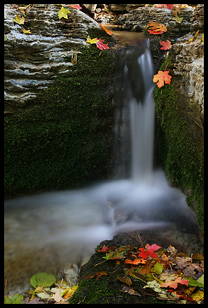
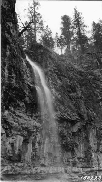
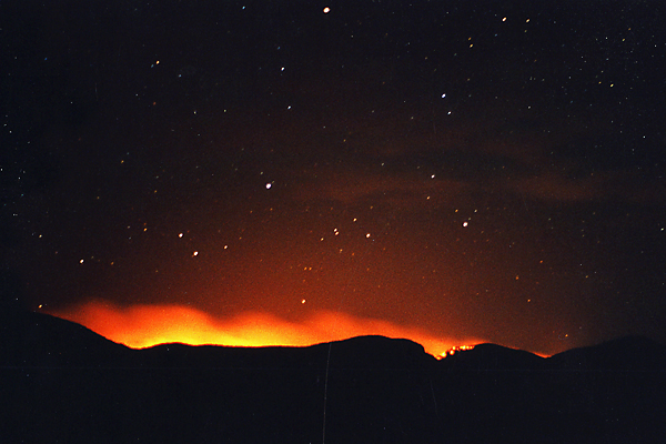
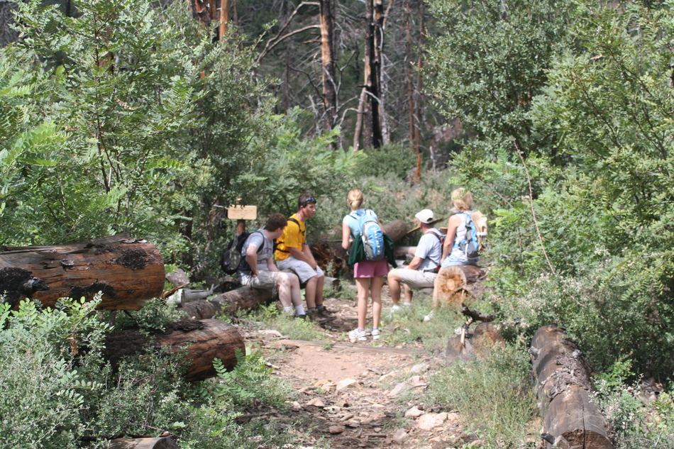
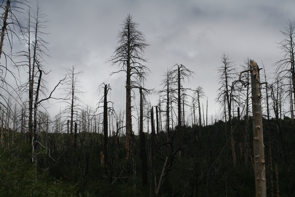
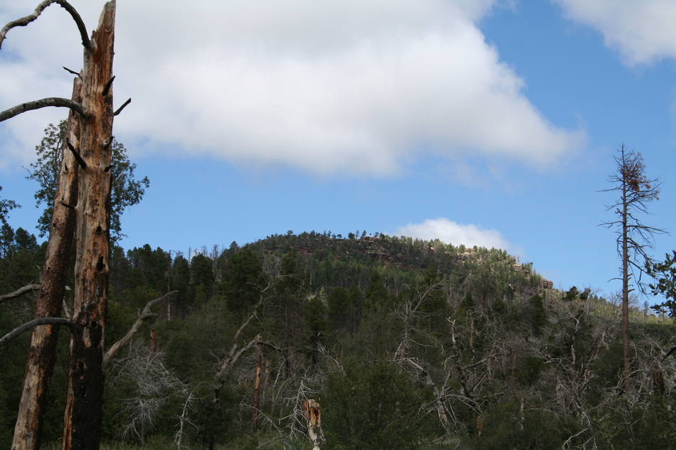
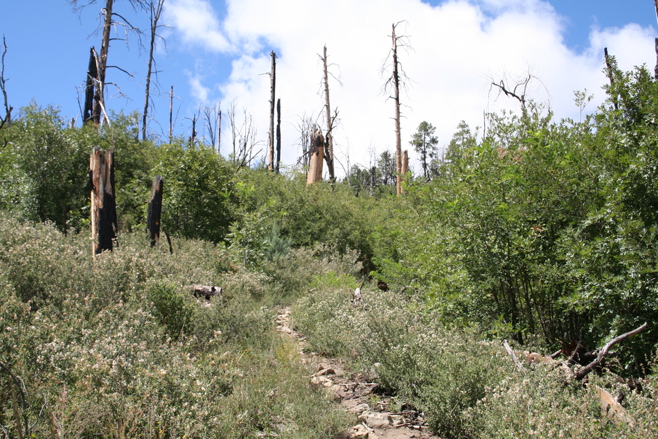
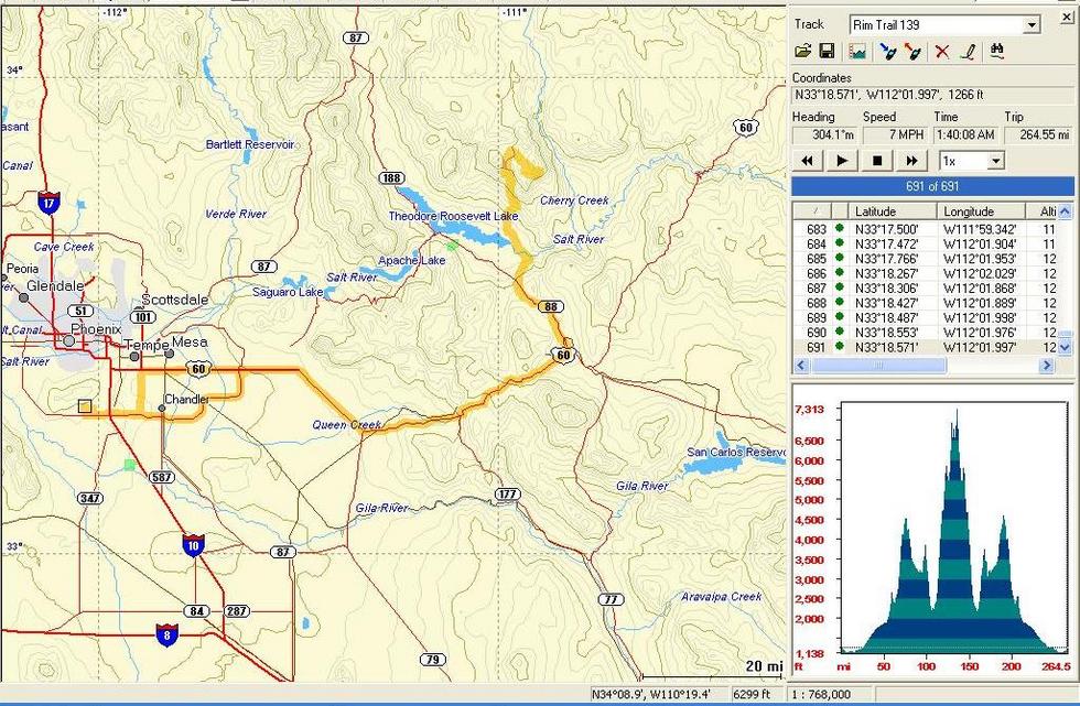
Labour Day labour by Randal_Schulhauser   Some History Some HistoryThe Sierra Anchan Mountains have become one of my favorite areas to beat the summer heat. With elevations approaching or exceeding 7000 feet, the temperatures are typically 20 to 30 degrees F cooler than the Valley of the Sun. Not surprisingly, Valley residents have been taking advantage of the comfortable temperatures for the past 125 years. One of the areas... early pioneers, Harry Wertman (Herbert Wertman in some reference articles), became the namesake for Workman Creek and Workman Creek Waterfalls. The spelling has evolved over the years to match the pronunciation.
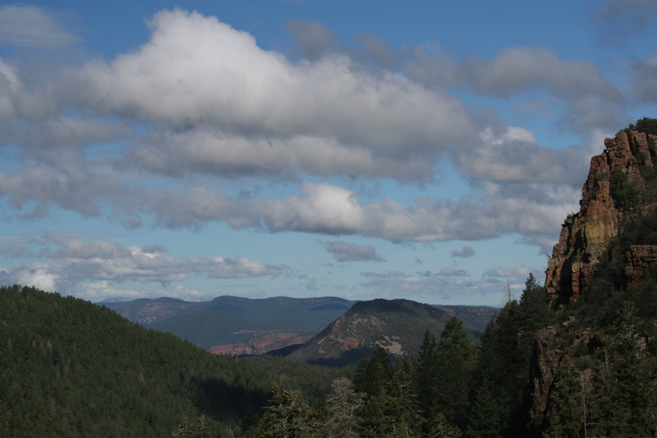
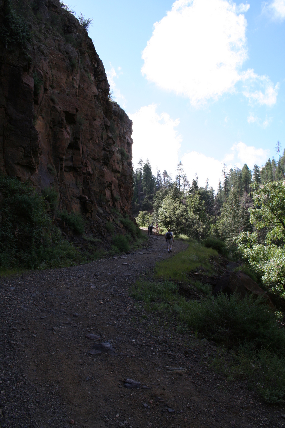
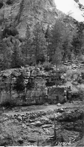
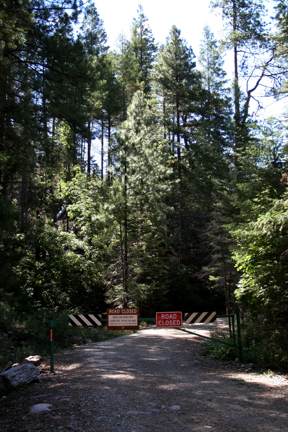
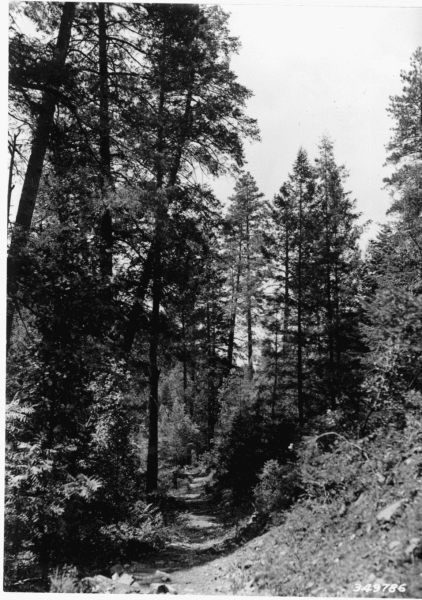
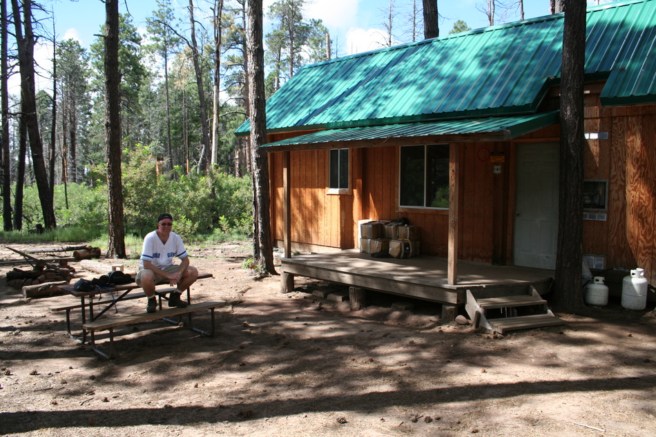
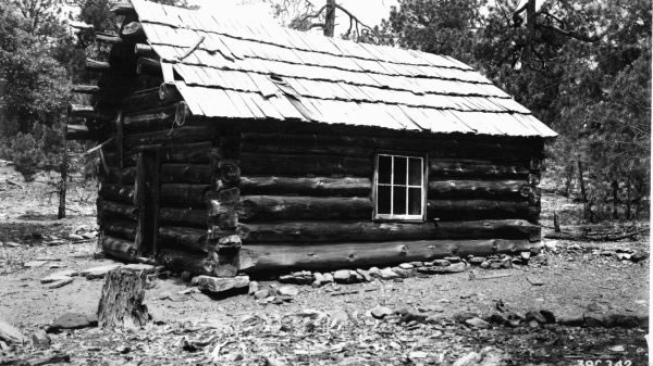
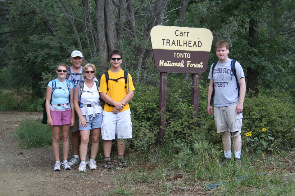
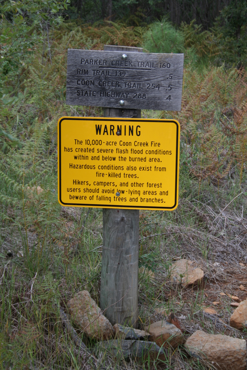
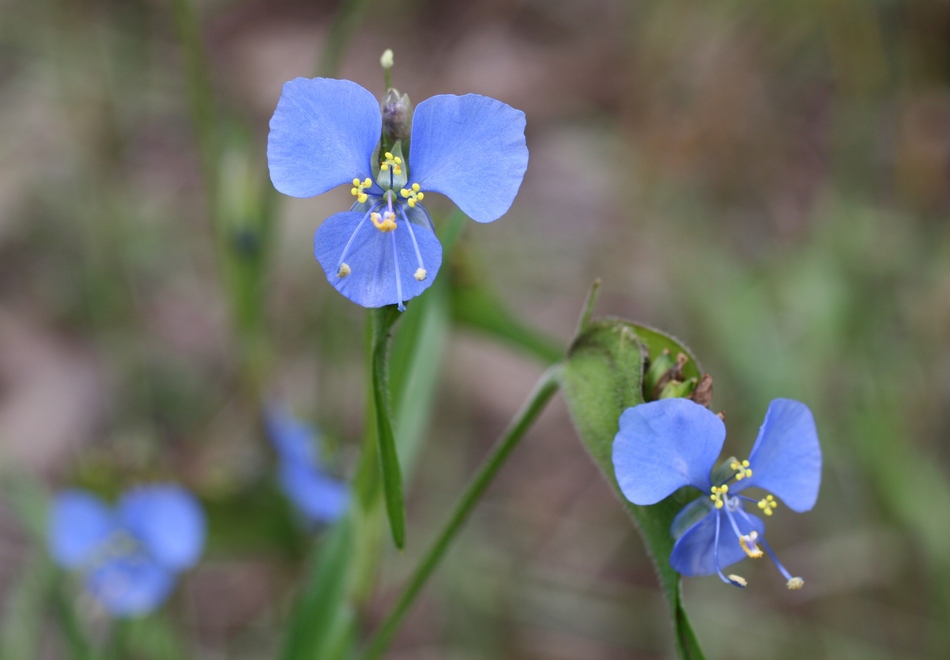
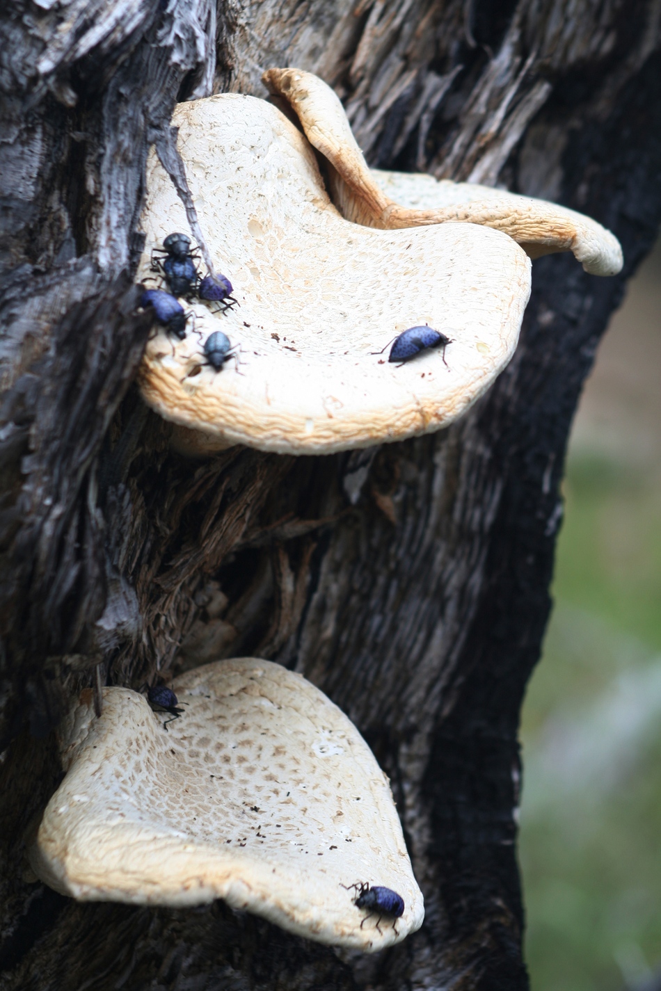
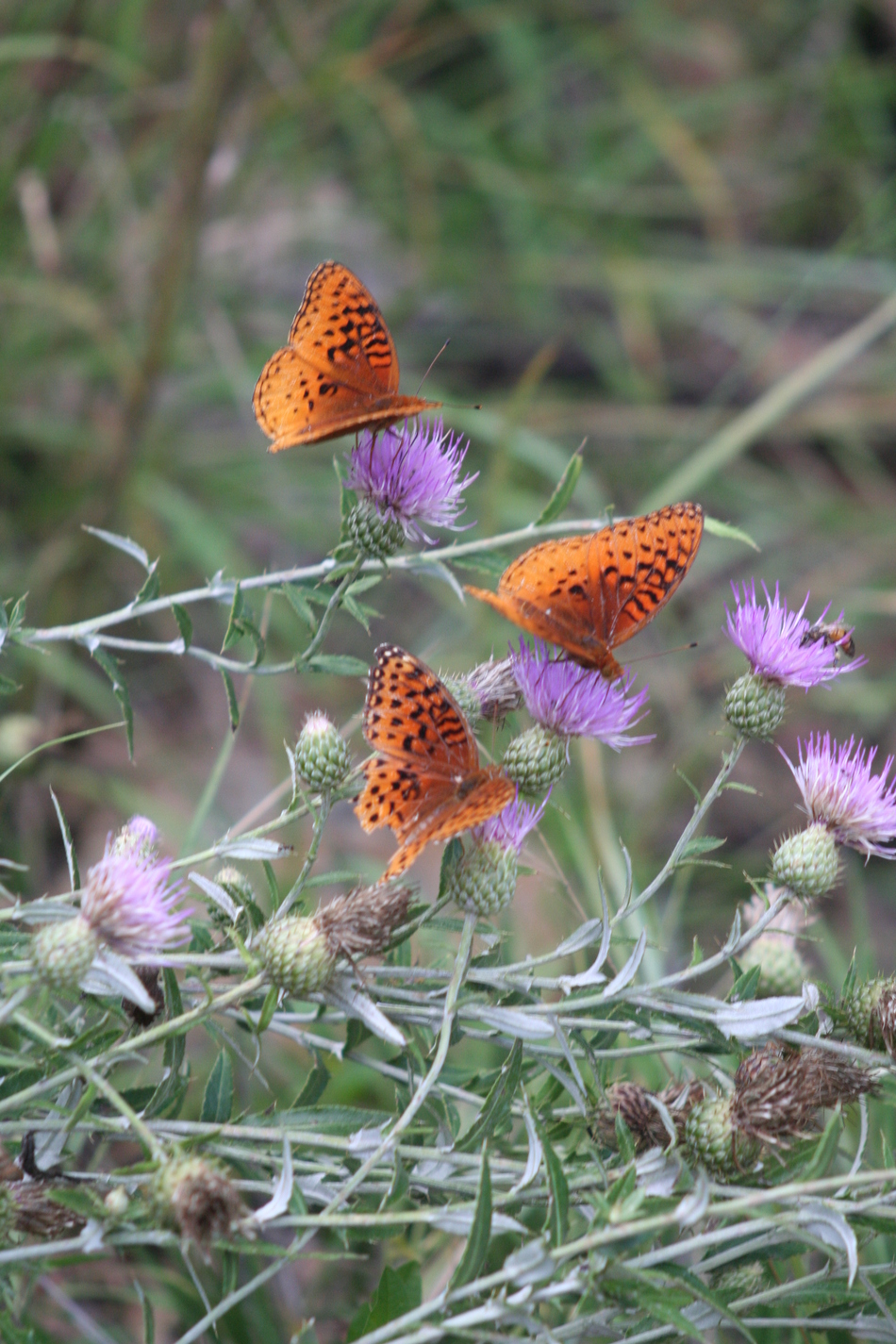
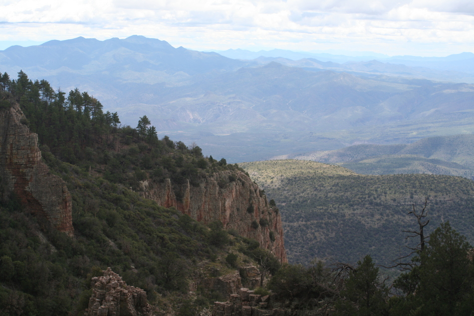
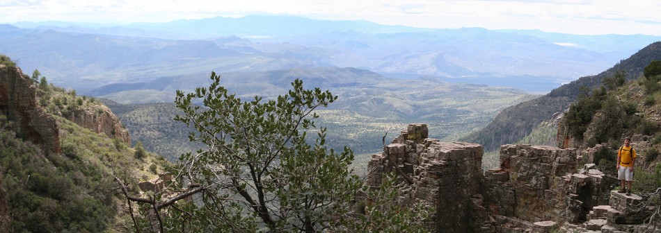
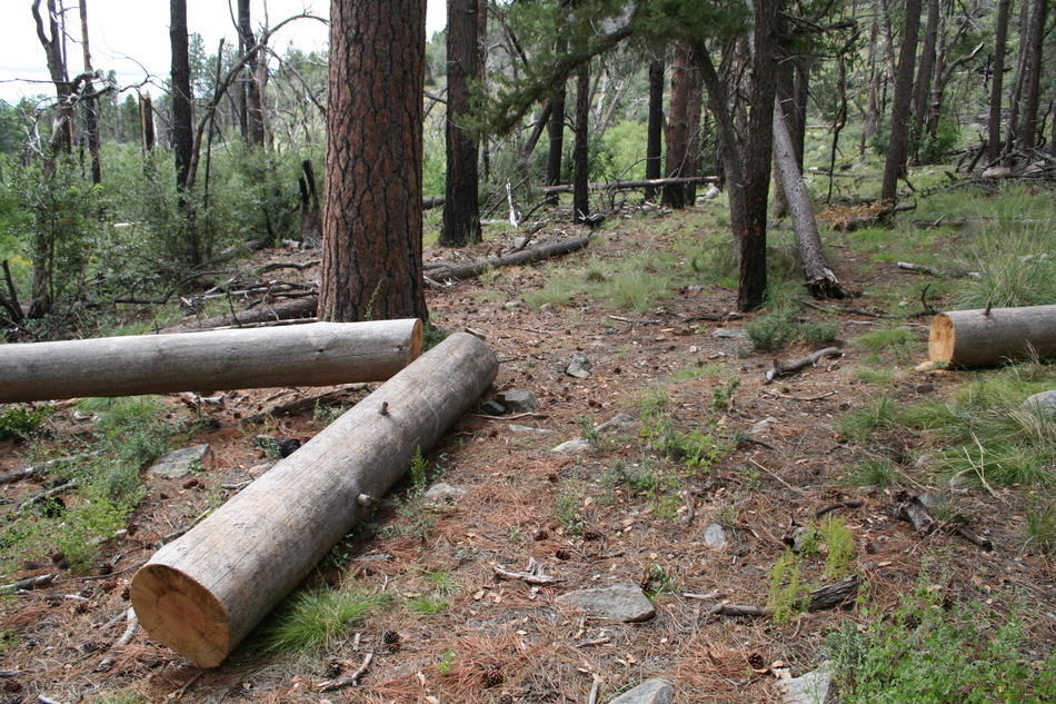
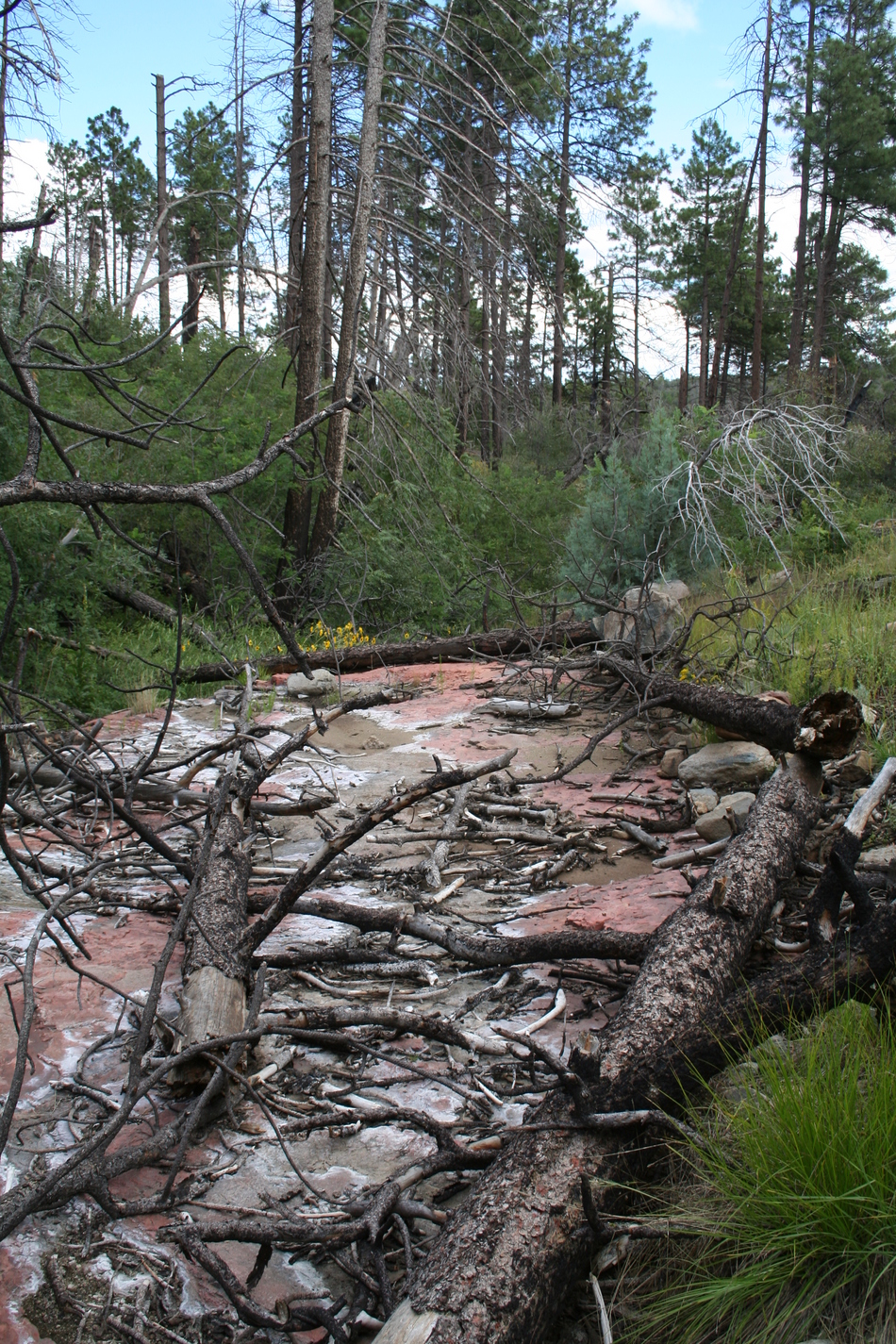
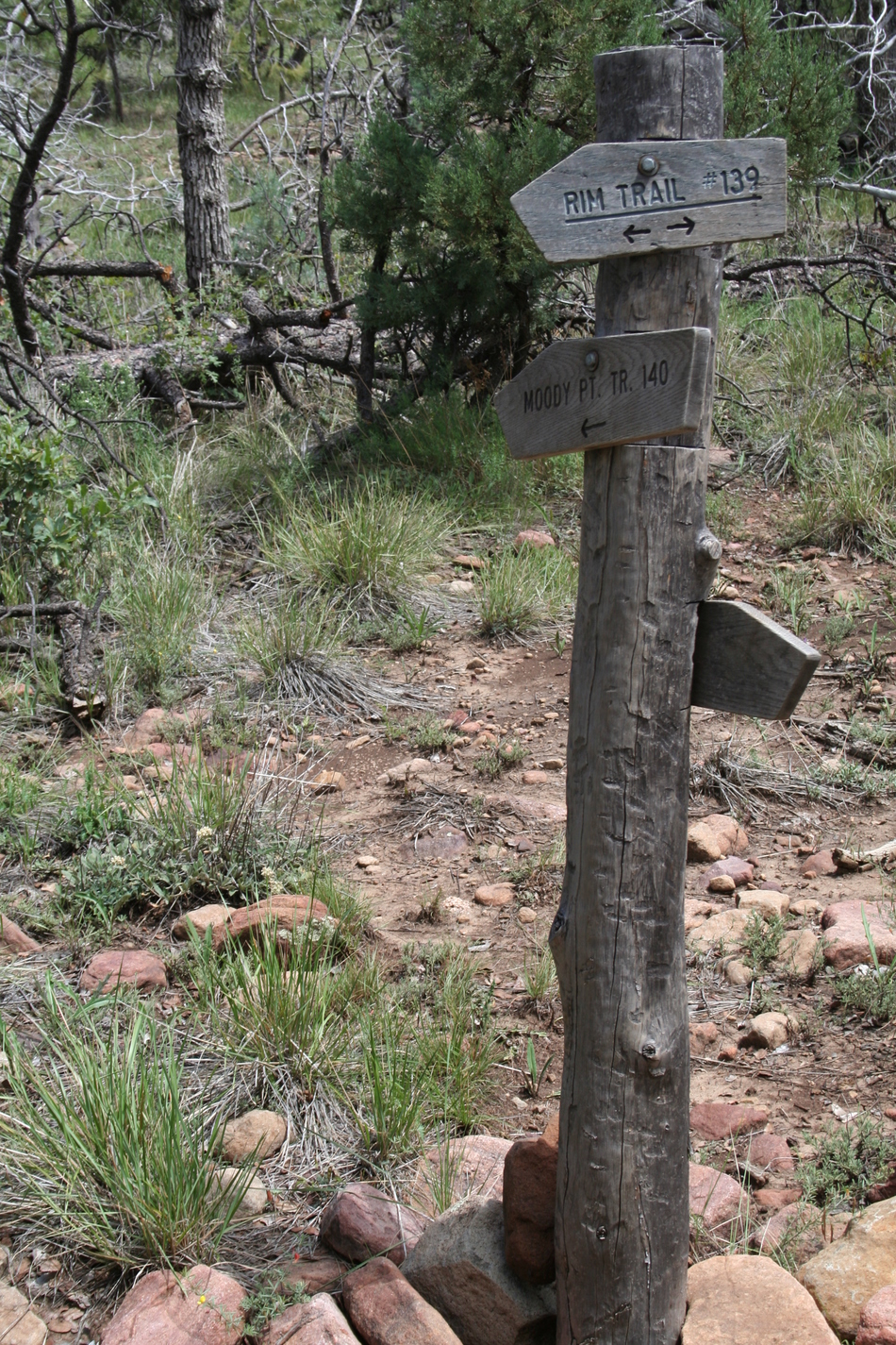
I always find it interesting matching early day photos to modern day. Here's some creek canyon and waterfalls examples. The trail has been improved over the years to become Forest Road 487. A modern construction Forest Service cabin has replaced to old Ranger log cabin near the summit of Aztec Peak. The April 2000 "Coon Creek Fire" has had a profound effect throughout much of the Sierra Ancha Wilderness area. Forest regeneration is progressing and this hike provides a unique window on how Mother Nature copes! The Hike From the road closure barrier at FR487 near the Falls campground you begin a steady ascent of close to 500 feet taking you to the lip of Workman Creek Waterfall at mile 0.65. Continue along FR487 climbing another 500 feet until you reach the Carr Trail Head at mile 1.58. Congratulations... you've just completed one of the more aerobic sections of the hike. The Carr Trail Head marks the northern terminus of Parker Trail 160. Recall that you passed the southern trailhead for Parker Trail 160 on your drive up Hwy 288. Word of warning... the signage indicates Rim Trail 139 is 0.5 miles away. This is incorrect and may reflect the trail alignment pre-2000 "Coon Creek Fire". Follow Parker Trail 160 downhill past Mud Spring and into burned sections from the "Coon Creek Fire". At mile 2.39 you reach the western end of Rim Trail 139. This area marks the source springs for Coon Creek. You can take advantage of the conveniently located cut logs for a short break. Interesting that the new signage suggests the Carr Trail Head is 1 mile away... The Rim Trail 139 will contour along the north side of Coon Creek. This burned section has produced clearings with fertile soil for many wild flowers and various insects. There are many stands of scorched dead trees creating a surreal effect. Coon Creek will begin to box up giving true aptness to the name "Rim Trail 139". At mile 3.77 you will encounter a rocky outcrop referred to as the "Palisades" by the local Rangers. The trail will soon begin to track away from the rim into some untouched tall Ponderosa Pines surrounded by burnout areas. At Mile 4.34 you will reach Armor Corral Spring where route finding becomes somewhat tricky. Numerous game trails radiate from this spring. Watch for saw cuts to ensure you remain on the trail! As you leave Armor Corral Spring the trail follows a relatively flat section with some grassland with stunted trees and bushes. We had 3 separate deer encounters in this area. The flats also offer the first true glimpses of Aztec Peak summit with its distinctive lookout tower. At Mile 5.42 the trail crosses Deep Creek featuring some smooth red rock. At the time of our hike, Deep Creek was completely dry making our crossing uneventful. Rim Trail 139 intersects with Moody Point Trail 140 at Mile 5.77. Travel east on Moody Point Trail 140 a few hundred feet from the intersection for some great views of Moody Point and Cherry Creek Valley. Take a breather because the trek west up Moody Point Trail 140 to FR487 has some aerobic elevation gain with many switchbacks. At Mile 7.08 you will reach FR487 and the Moody Point Trail Head. There is a Forest Service cabin by the trailhead. You can take FR487 east about 1 mile to ascend Aztec Peak summit. With dark thunderheads approaching, we elected to take the direct return loop down FR487. At Mile 8.15 you will pass the Carr Trail Head. At Mile 8.53 you pass the Abbey's Way 151 trailhead. Continue retracing your steps back down FR487 from earlier in the day. At mile 9.78 you should find your vehicle close to the road closure barriers. Summary This past Labour Day holiday we wanted a destination to escape the Phoenix summer heat. We decided to take a chance on a trail no one was familiar with. We soon discovered a unique glimpse of the forest regeneration process after a major fire. You reluctantly begin to understand the necessity of some burns to promote biodiversity. If you want to encounter a variety of wildflowers and insects, maybe you should consider this hike. Mile 0.00 - FR487 road closure TH Mile 0.65 - Workman Creek Waterfalls Mile 1.20 - Abbey's Way 151 TH Mile 1.58 - Carr Trail Head (Parker Trail 160 north TH) Mile 2.39 - Rim Trail 139 west TH Mile 3.77 - The "Palisades" Mile 4.34 - Armor Corral Springs Mile 5.42 - Deep Creek crossing Mile 5.77 - Rim Trail 139 east TH Mile 7.08 - Moody Point 140 TH Mile 8.15 - Carr Trail Head Mile 8.53 - Abbey's Way 151 TH Mile 9.08 - Workman Creek Waterfalls Mile 9.78 - FR487 road closure TH Enjoy! Check out the Official Route and Triplogs. Leave No Trace and +Add a Triplog after your hike to support this local community. | |||||||||||||||||||||||||||||||||||||||||||||||||||||||||||||||||||||||||||||||||||||||||||||||||||||||||||||||||||||||||||||||||||||||||||||||||||||||||||||||||||||||||||||||||||||||||||||||||||||||||||||||||||||||


