

|
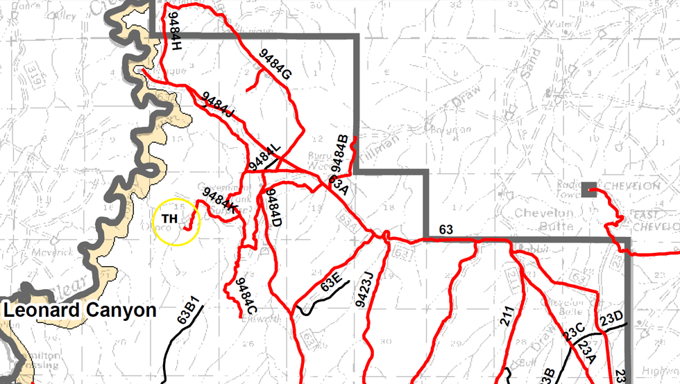
Segment of the official Sitgreaves National Forest (Black Mesa District) travel management map. All roads/routes in red are legal for vehicular use per current regulations as of June 2015. The O'Haco Tank TH is circled in yellow.
May 22 2015
|
|
| help | issue |