

|
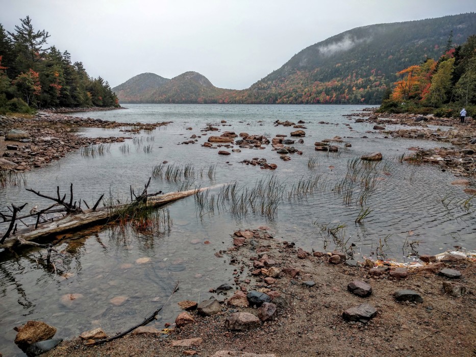
JORDAN POND is an oligotrophic tarn. It covers 187 acres, with a maximum depth of 150 feet and a shoreline of 3.6 miles. More information including about hiking trails: acadiamagic.com/jor ... html
This is a view toward The Bubbles. The North Bubble, which you see as the left mountain in the photograph to the right, has the highest elevation at 872 feet. The South Bubble follows at 766 feet.
This is a view toward The Bubbles. The North Bubble, which you see as the left mountain in the photograph to the right, has the highest elevation at 872 feet. The South Bubble follows at 766 feet.