 Route Editor

| Guide | ♦ | 88 Triplogs | 1 Topic |
details | drive | permit | forecast | route |
stats |
photos | triplogs | topic | location |
| 392 | 88 | 1 |
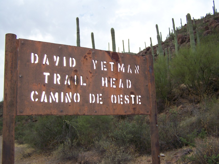
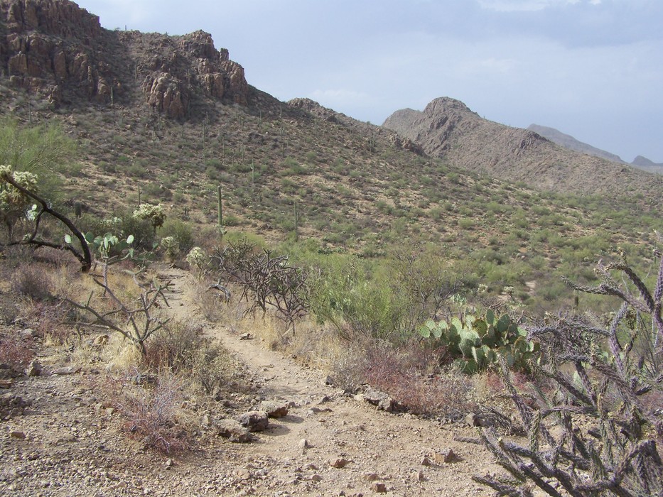
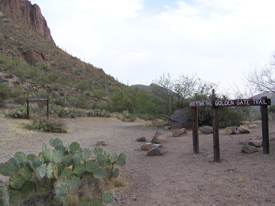
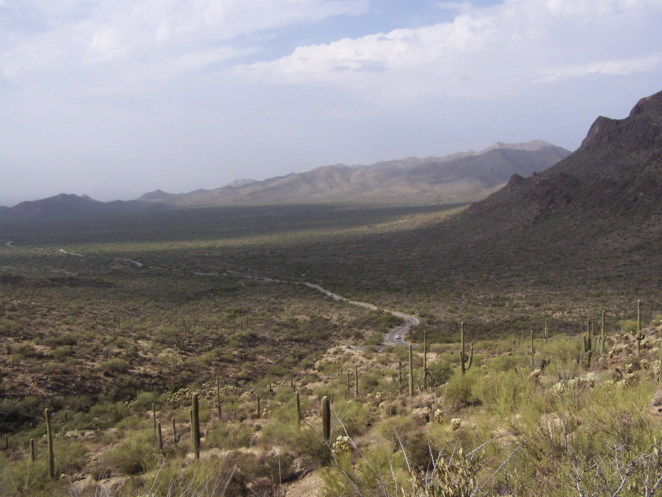
The Desert Speaks by Crzy4AZ  I could see the parking area for the Yetman trail a few hundred feet from the bed and breakfast where my husband and I were staying for our five-year anniversary. We spent the day exploring the Tucson Mountain Park trail and took a few accidental and intentional side trips. There are two trailheads for access. This description is from the Camino de Oeste trailhead; however, the signage is easier to follow starting from the Gates Pass trailhead. I could see the parking area for the Yetman trail a few hundred feet from the bed and breakfast where my husband and I were staying for our five-year anniversary. We spent the day exploring the Tucson Mountain Park trail and took a few accidental and intentional side trips. There are two trailheads for access. This description is from the Camino de Oeste trailhead; however, the signage is easier to follow starting from the Gates Pass trailhead.The trail is named after David Yetman - an author, environmentalist, and three-term member of the Pima County Board of Supervisors in the 70's and 80's. He is known more recently as the host of KUAT's public television show "The Desert Speaks". I have religiously watched old and new episodes, which led us to explore this name-sake trail while visiting Tucson.
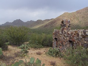
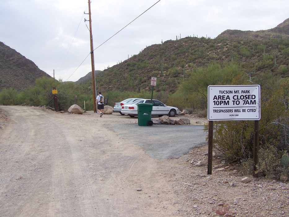
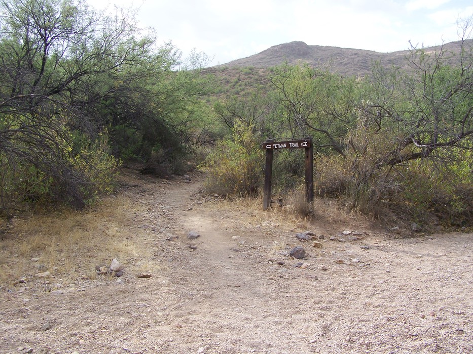
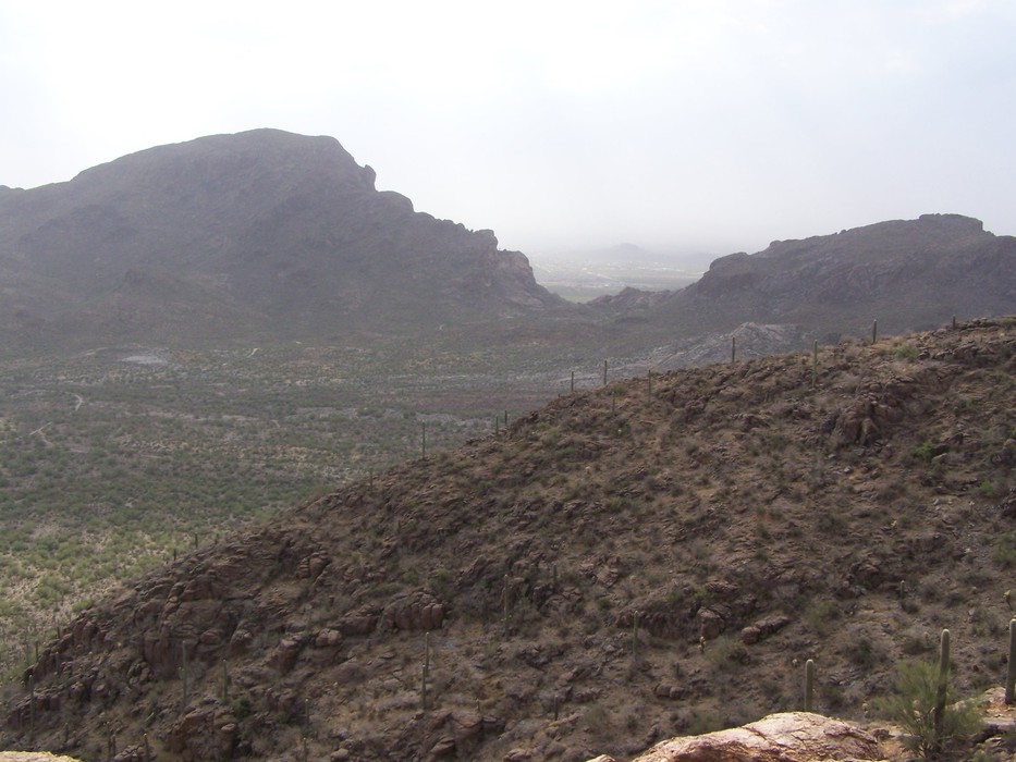
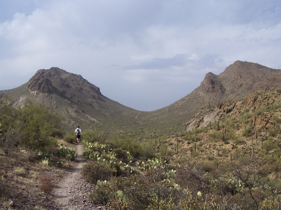
Approaching this 6.7 mile one-way trail from the Camino de Oeste trailhead, you will find space for a few cars at the end of a gravel extension in a quiet neighborhood of large acreage homes. (The paved lot at the Gates Pass trailhead has more parking.) The first mile crosses through and in a sandy wash. At 1.2 miles, you come across the ruins of the Bowen Ranch built in the 1930's by an east coast newspaper editor. Vista Diversion: Around 1.9 miles, you will see a trail that leads up the hill to your right. This is not part of the Yetman trail, but you can add some elevation to this hike and find nice views of Cat Mountain from an overlook about a half-mile up. Staying on Yetman, continue to a small saddle where the Marriott Starr Pass Resort will be visible to the northeast. At 2.1 miles, stay to the right as the Starr Pass trail (from its east trailhead) intersects with Yetman. Continue another 0.4 miles where the Yetman trail takes a sharp turn to the right (west). The next 3.7 miles are mostly flat in and out of washes through a wide basin until the last half-mile as you ascend to Gates Pass. Watch out for dead-end side spurs in the section before you go up to the pass. At the pass (highest trail point 3182 feet elevation), you will intersect with the Golden Gate Trail and have beautiful views of Saguaro National Park West. You can continue 0.5 miles down to the paved parking area to complete this one-way hike. I would recommend this hike as a shuttle with cars at either trailhead rather than out-and-back.
Check out the Official Route and Triplogs. Leave No Trace and +Add a Triplog after your hike to support this local community. One-Way Notice This hike is listed as One-Way. When hiking several trails on a single "hike", log it with a generic name that describes the hike. Then link the trails traveled, check out the example. | ||||||||||||||||||||||||||||||||||||||||||||||||||||||||||||||||||||||||||||||||||||||||||||||||||||||||||||||||||||||||||||||||||||||||||||||||||||||||||||||||||||||||||||||||||||||||||||


