Route Editor

| Guide | ♦ | 240 Triplogs | 0 Topics |
details | drive | permit | forecast | 🔥 route |
stats |
photos | triplogs | topics | location |
| 2.2k | 240 | 0 |
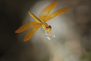
Informative by HAZ_Hikebot   Yeah, I know... a short hike at the Arboretum is strictly sissy stuff and to be avoided by adrenaline-junkie trail hounds. However, I have WAY too many friends from the frozen north who flock here during the winter months to hike our desert who are CLUELESS about the native flora and fauna. How can you appreciate what you see when you don't know what the hell you're lookin' at? Yeah, I know... a short hike at the Arboretum is strictly sissy stuff and to be avoided by adrenaline-junkie trail hounds. However, I have WAY too many friends from the frozen north who flock here during the winter months to hike our desert who are CLUELESS about the native flora and fauna. How can you appreciate what you see when you don't know what the hell you're lookin' at?I suggest this---before you spend that week tramping around the Superstitions, drive over to the Boyce Thompson park and bone up on the differences between chain fruit and teddy bear cholla. Learn the fascinating ways that plants and animals have adapted to this harsh environment and the precious role of water in the desert. The more you know about this other-worldly environment, the greater you'll respect it and be a more eco-friendly hiker.
Check out the Official Route and Triplogs. Leave No Trace and +Add a Triplog after your hike to support this local community. | |||||||||||||||||||||||||||||||||||||||||||||||||||||||||||||||||||||||||||||||||||||||||||||||||||||||||||||||||||||||||||||||||||||||||||||||||||||||||||||||||||||||||||||||||||||||||||||||||||||||||||