 Route Editor

| Guide | ♦ | 6 Triplogs | 3 Topics |
details | drive | permit | forecast | route |
stats |
photos | triplogs | topics | location |
| 83 | 6 | 3 |
Rock the Cabeza! by Randal_Schulhauser  Some History Some History"Cabeza Prieta" means "dark head" in Spanish and refers to the distinctive black lava topped peak on a granite dome near the refuge's western boundary. It is believed that Jesuit missionary explorer Padre Eusebio Kino named the peak as he crossed the area multiple times between 1699 and 1701, making the first maps of the region. In 1774 Spanish conquistador Juan Bautista de Anza pioneered a 130-mile route from Sonoyta Mexico to the Colorado River crossing near present-day Yuma Arizona known as El Camino del Diablo (the Devil's Road). Hundreds perished along this route, choosing desert heat as a more manageable risk than marauding Apaches further north. The 1849 California gold rush served only to increase traffic.
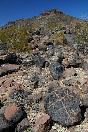
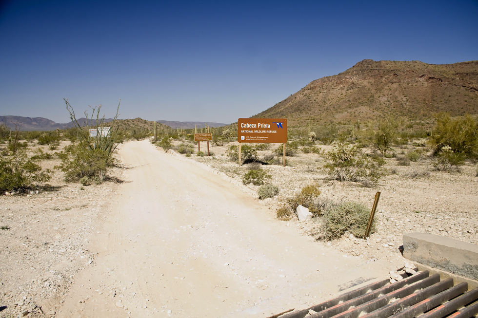
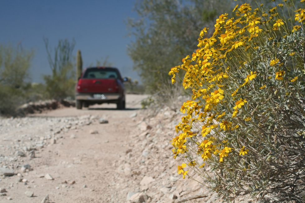
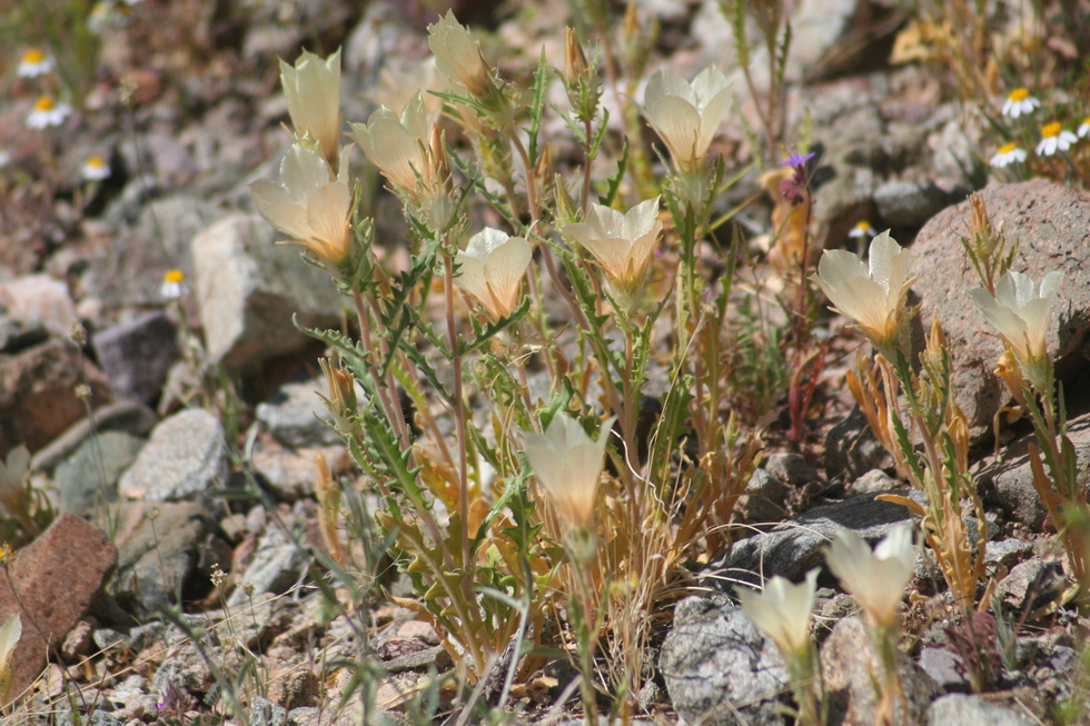
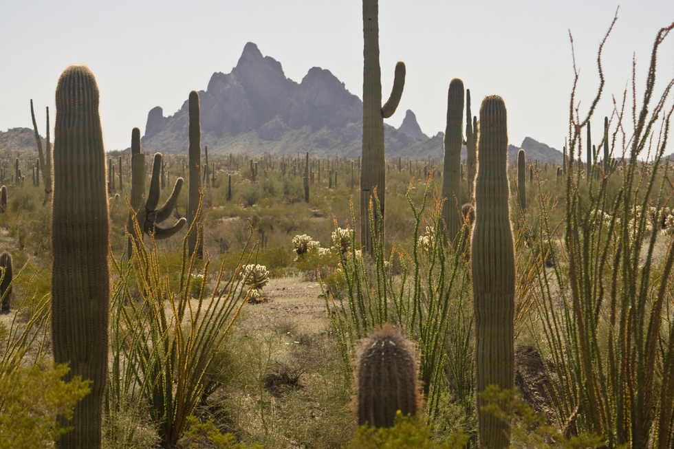
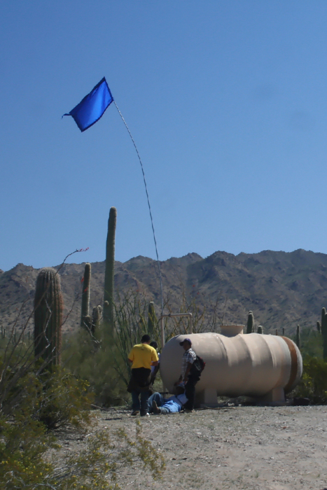
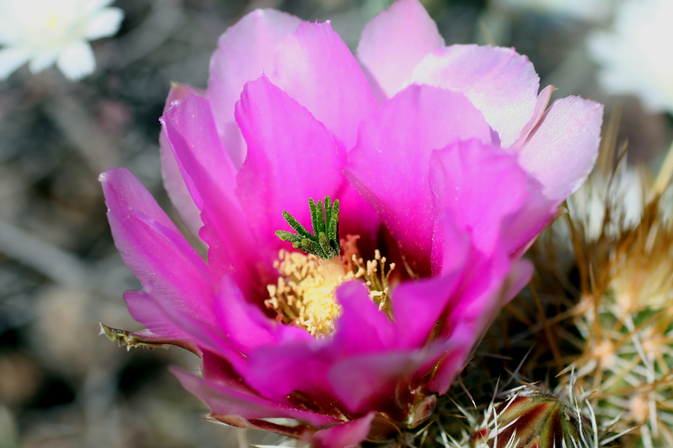
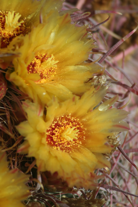
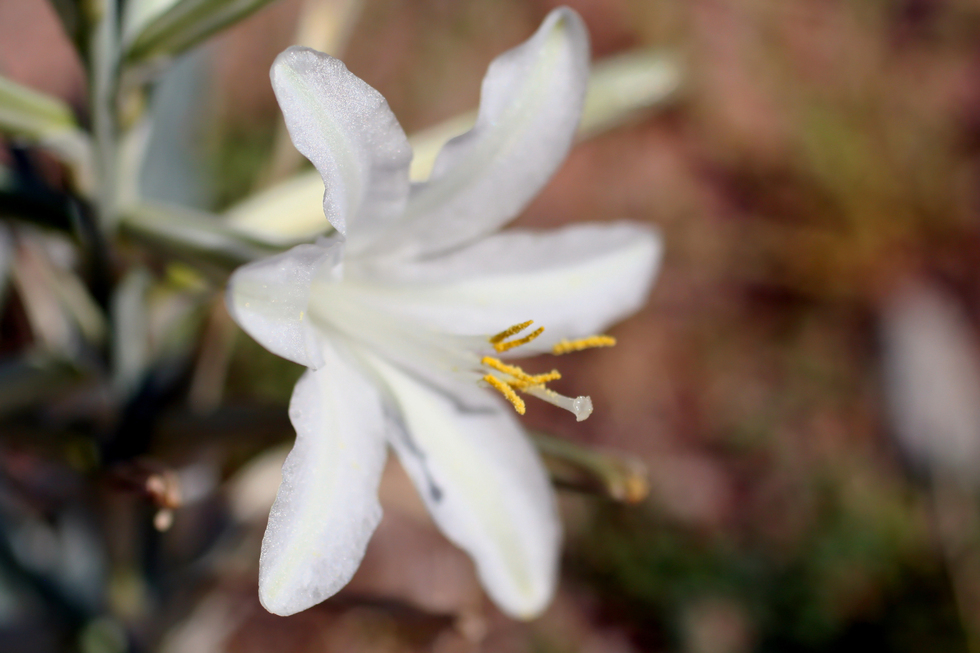
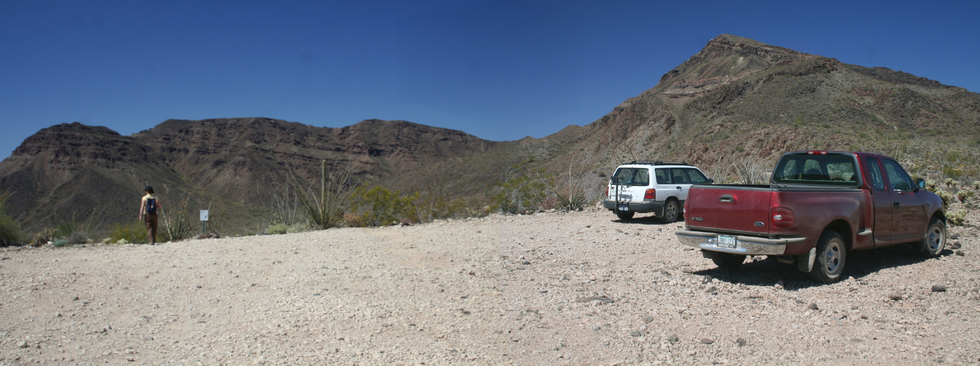
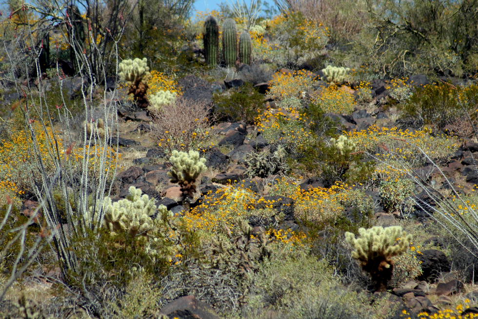
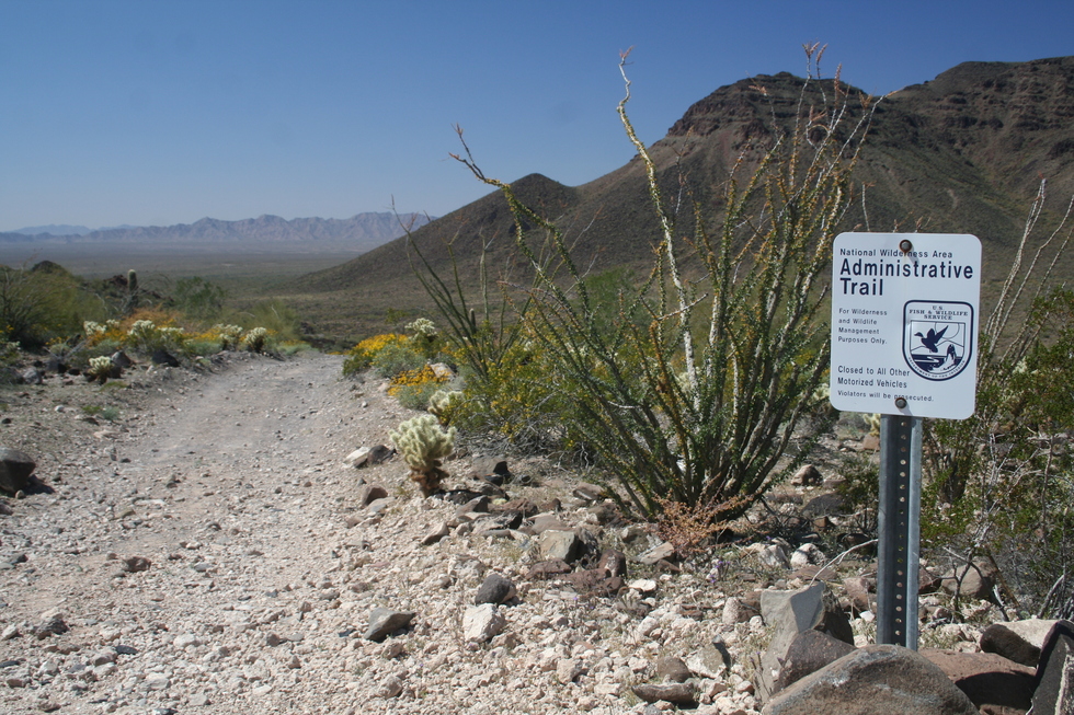
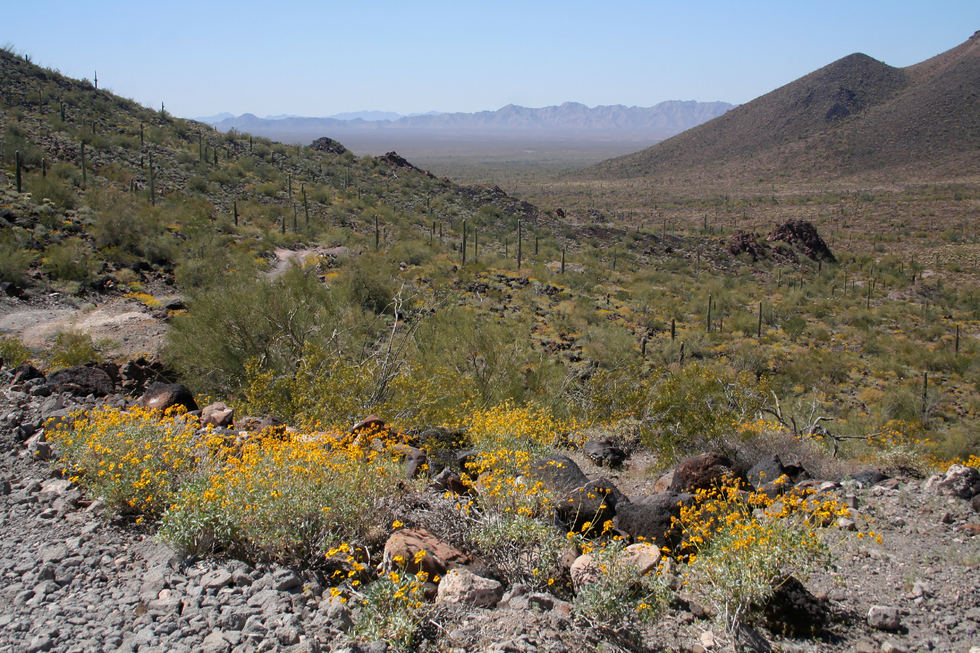
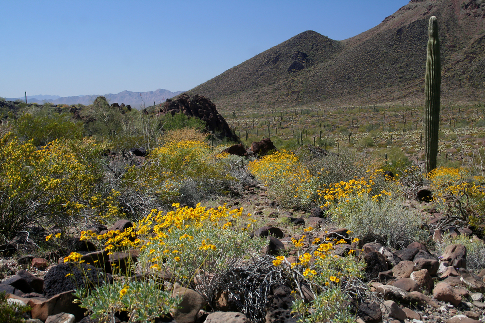
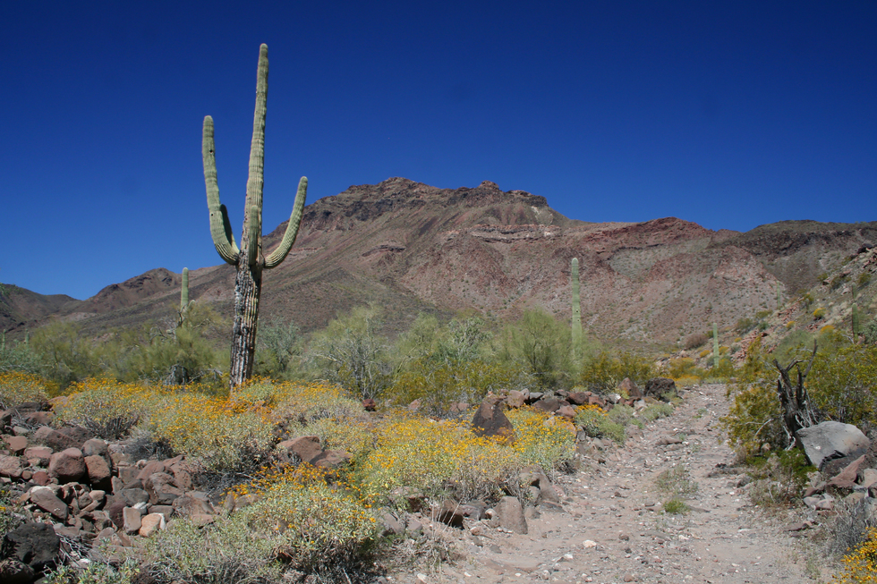
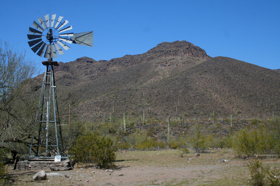
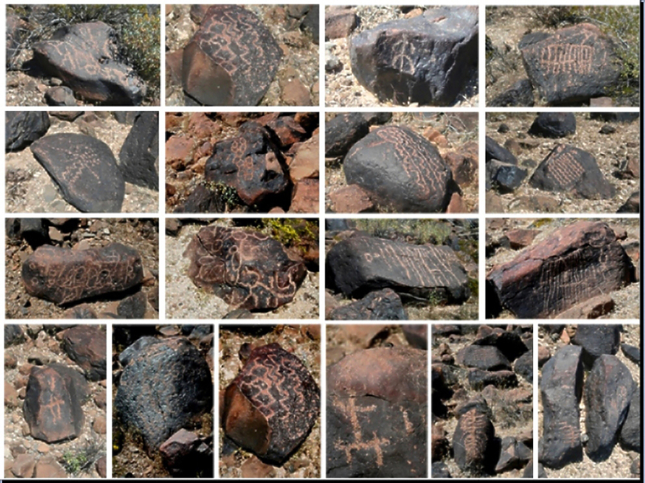
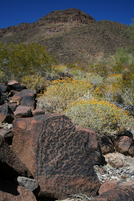
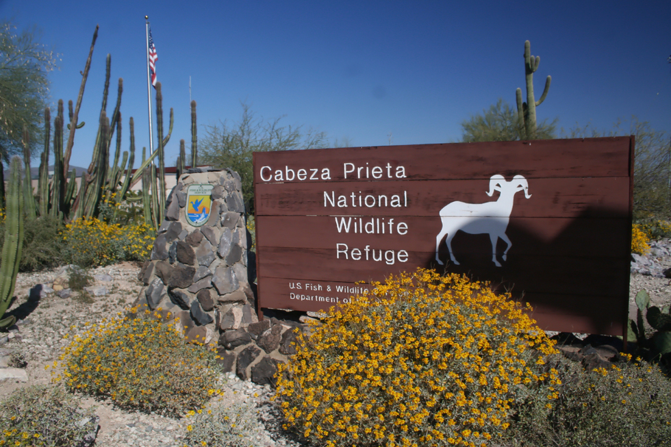
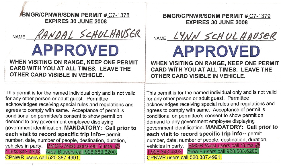
In 1975, this Game Range was renamed the Cabeza Prieta National Wildlife Refuge, becoming the 3rd largest refuge in the United States. Who was Charlie Bell? He's presumed to be a local rancher in which the name-sake pass and well are named after. I couldn't track down any specific information, and NWR Rangers and Volunteers didn't know. I didn't notice any homestead ruins or foundation remains when we explored the petroglyphs around Charlie Bell Well. I did turn up information on rancher Charlie Bell from the Sedona/Wet Beaver Creek area. Could they be one in the same person? Check out the El Camino del Diablo for additional information and history. Check out the Bell Trail for Charlie Bell reference. Hike Having obtained the necessary permits and signed a "Hold Harmless" agreement at the Cabeza Prieta NWR Office in Ajo, travel 1/4 miles north on Hwy 85 until you reach Rasmussen Road. Travel west along Rasmussen Road, which will eventually become Charlie Bell Road. Having traveled about 4.25 miles from Hwy 85, you will come to the Cabeza Prieta Wildlife Refuge boundary. Cross the cattle guard and enter the wildlife refuge. Childs Mountain dominates your view to the north. You should be able to spot brilliant white radar installations on Childs Mountain. This is a reminder of the interwoven coexistence between National Wildlife Refuge and the Department of Defense. I found it interesting that when we stopped to check out some wildflowers, a cactus wren chirped its displeasure while a jet fighter screamed overhead. As you pass between the gap of Childs Mountain (to the north) and Cardigan Peak (to the south) you enter an area with an extensive stand of wildflowers and lush saguaro forest. At about 5.25 miles from Hwy 85, Charlie Bell Road will veer sharply to the south following a wash. At about mile 7.5, you will reach a Y-intersection with Copper Canyon Loop Road. The sign will point you west along Charlie Bell Road towards a windmill and well. At about mile 8.0, you will reach Little Tule Well (There is a Tule Well along El Camino del Diablo further west...). This is also where we had our "alien encounter". As you leave Tule Well, the saguaro forest will begin to thin out being replaced by hedgehog and barrel cactus. We were fortunate on this mid-March day as many cacti were beginning to bloom. Near mile 11.0, you will notice a small hill to the south with an observation blind at its crest. This is Pack Rat Hill, where an ongoing Sonoran Pronghorn wildlife management operation is in progress. You will notice a black tarpaulin radiating from the hill a parallel to Charlie Bell Road. This is a one-square-mile semi-captive breeding enclosure to help re-establish the Sonoran Pronghorn population. The 2002 drought wiped out 80% of the Sonoran Pronghorn population leaving only 21 animals within the refuge. Until further notice, portions of the refuge will be closed to protect the Sonoran Pronghorn during the fawning season. This includes Charlie Bell Road. In 2007, the closure was from March 15th to July 15th. For 2008, fawning season closures will be from April 15th to July 15th. As you travel west of Pack Rat Hill, take note of the wash crossing the road and spot a rare crested saguaro immediately to the south of Charlie Bell Road. Open grassland dominates the topology, and the road soon changes from the rough rocky gravel to sandy conditions. This creates ideal conditions for the Ajo Lily. At mile 14.5, Charlie Bell Road will pass Daniel's Arroyo Road (no public access), and at mile 15.0, it will pass Jack's Well Road (no public access). Charlie Bell Road will slowly climb Daniel's Arroyo. You will notice a gap in the Growler Mountains to the west. This is Charlie Bell Pass. Near mile 16.5 you will crest Charlie Bell Pass. Trail Head parking is available if you wish to explore the many petroglyphs within Growler Valley. The volcanic soil in this area seems to stimulate Sonoran flora. Although the double track continues west from Charlie Bell Pass, vehicular access is restricted. This will serve as our hiking trail into Growler Valley. If you hike about 3/4 miles along the trail, you will lose about 275 feet of elevation and reach what appears to be the valley floor. The trail now descends more gradually, following a wash strewn with large boulders. Turn around and catch Growler Peak dominating your view to the north. Having hiked almost 1.5 miles, the windmill at Charlie Bell Well will appear. Take note of the boulders with black desert varnish to the windmill's right (i.e., North). Upon closer examination you will notice many are covered with petroglyphs! As I boulder hopped up this wash, more and more petroglyphs came into view! I noticed that the wash forked into two separate drainages. Both contained petroglyphs. Although there are boulders with black desert varnish to the south of the windmill, petroglyphs were sparse. My recommendation is to further explore upstream to the north... Summary This is a great introductory hike to the Cabeza Prieta National Wildlife Refuge with various Sonoran Desert flora and fauna. And don't forget the rock art... Enjoy! Check out the Official Route and Triplogs. Leave No Trace and +Add a Triplog after your hike to support this local community. | ||||||||||||||||||||||||||||||||||||||||||||||||||||||||||||||||||||||||||||||||||||||||||||||||


