 Route Editor

| Guide | ♦ | 9 Triplogs | 2 Topics |
details | drive | permit | forecast | route |
stats |
photos | triplogs | topics | location |
| 75 | 9 | 2 |
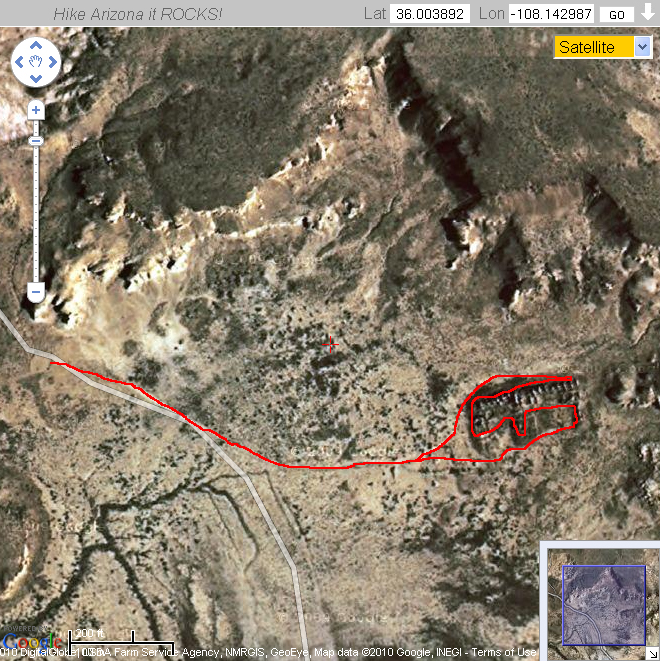
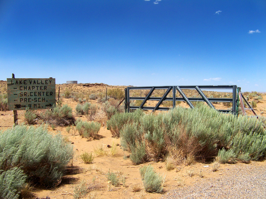
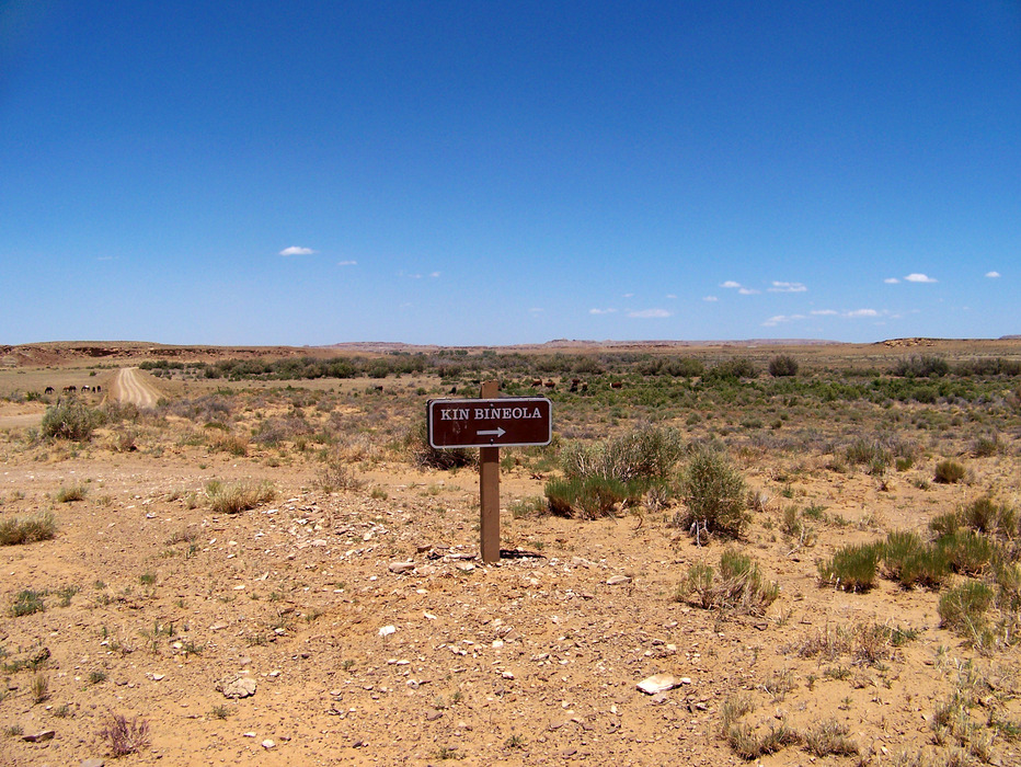
If it ain't windy, you ain't tryin' by PaleoRob  Warning: Kin Bineola is very isolated, hot in the summer, and dry. The nearest services are 24 miles away in Crownpoint. Lake Valley, 8 miles down the dirt road, has very limited services and hours. Kin Bineola is surrounded by tribal and private land - be sure you are not trespassing by staying on the designated route.
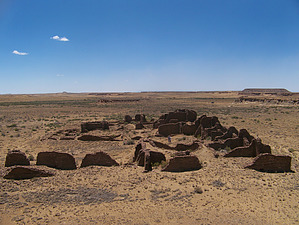
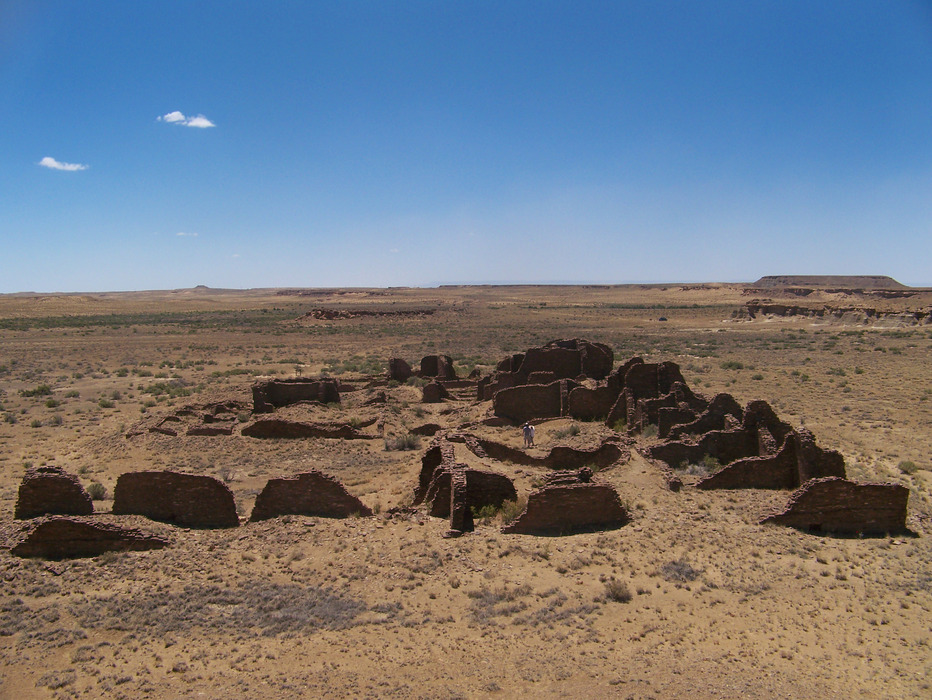
After a almost 150 years, Kin Bineola was expanded into its current E shape. Again, the refuse mounds remained small. While there is some evidence that at least a caretaker population lived nearby, based on the fact that agricultural ditches exist in the area, there is no hard evidence for farming in a manner that would have supported a large population. The area that Kin Bineola is located does not have a shallow water table, nor does water consistently flow through the Kim-me-ni-oli Wash nearby. Almost certainly, anyone living at Kin Bineola would have required imported food, likely the nearby Lake Valley site, some 4 miles down the Kim-mi-ni-oli Wash, near the confluence with the Rio Chaco. In prehistoric times, two roads existed from Kin Bineola - one leaving from the southeast side of the building that can still be faintly seen, and another heading northeast towards South Gap and Kin Klezhin. Hike: The hike is a one-mile, round trip hike. Passing through a hiker's make at the parking area, you will be walking along a Park Service access road to the site. Near the southwest corner of the ruin there is a sign explaining a little bit about the site. The sign also has a reconstruction of what the final three-story Kin Bineola Great House would have looked like. Explore the ruin, climb the nearby hill to take in Richard Wetherill's view, and then return to your vehicle the same way that you came in. Water Sources: None. Bring all you need, and then some extra. Camping: Camping is not allowed in Chaco Culture National Historic Park except in designated campsites. There is only one location that has designated campsites, and that is Gallo Campground.
Chaco Canyon HP NPS Details NPS PDF Resource Check out the Official Route and Triplogs. Leave No Trace and +Add a Triplog after your hike to support this local community. | |||||||||||||||||||||||||||||||||||||||||||||||||||||||||||||||||||||||||||||||||||||||||||||||||||||||||||||||||||||||||||||||||||||||||||||||||||||||||||||||||||||||||


