 Route Editor

| Guide | ♦ | 32 Triplogs | 0 Topics |
details | drive | permit | forecast | route |
stats |
photos | triplogs | topics | location |
| 137 | 32 | 0 |
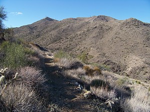
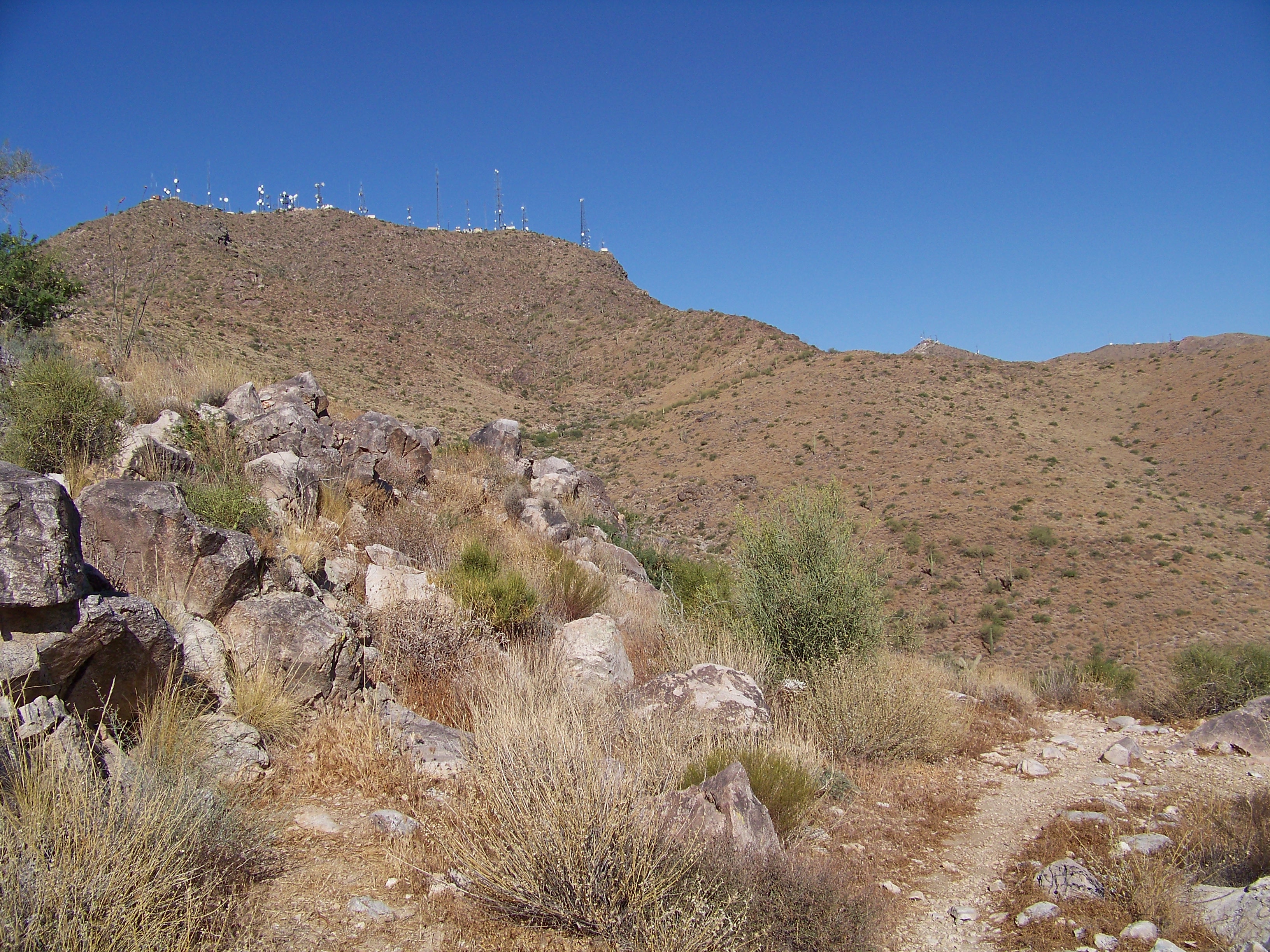
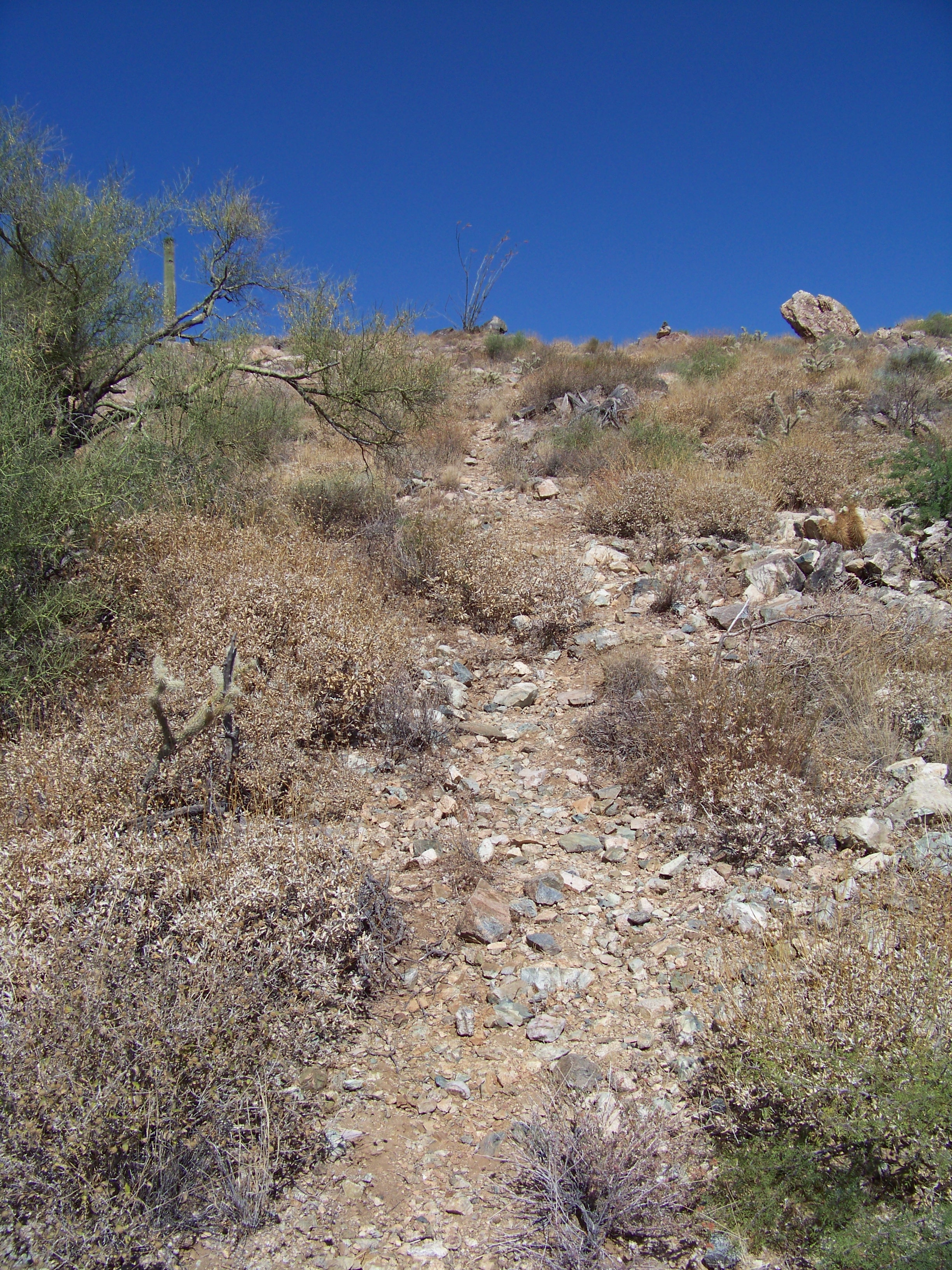
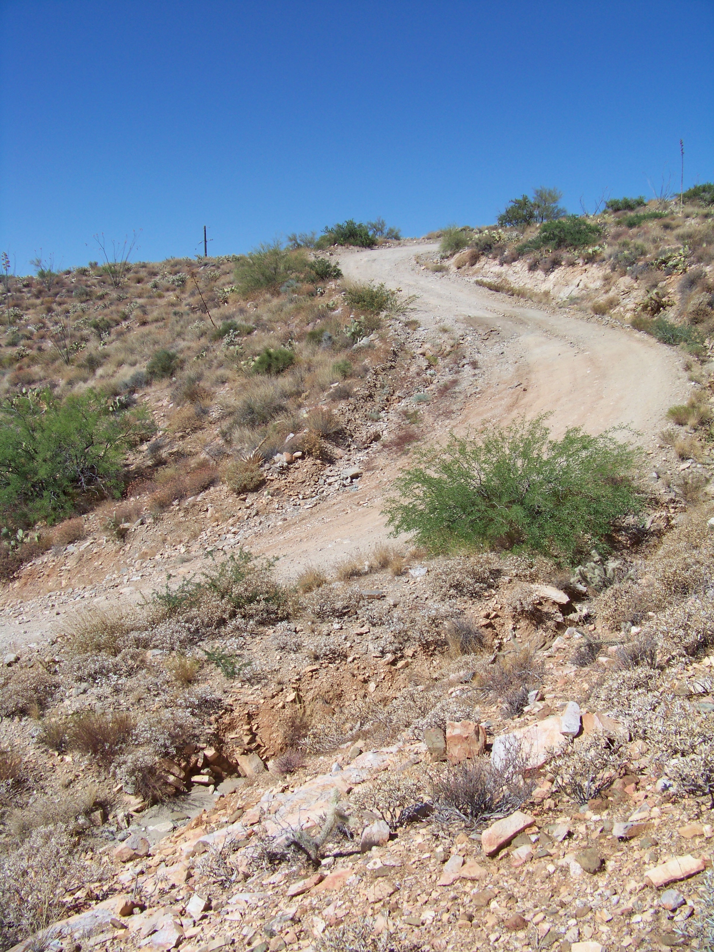
Top of the Tanks by PatrickL  Barry Goldwater Peak (4083), named after the Arizona born US Senator, is the high point of the White Tank Mountain Range. Most views attribute that title to the popular Radio Summit which is just 65ft shy of BG Peak. The summit isn't visited by hikers all that often. It offers views of some western peaks (as far as the Eagletails this particular day) that Phoenix locals probably don't get to see that often. Barry Goldwater Peak (4083), named after the Arizona born US Senator, is the high point of the White Tank Mountain Range. Most views attribute that title to the popular Radio Summit which is just 65ft shy of BG Peak. The summit isn't visited by hikers all that often. It offers views of some western peaks (as far as the Eagletails this particular day) that Phoenix locals probably don't get to see that often.Hike Goat Camp starts gentle. Not long after the first mile, you do two or three switchbacks and begin following along the side of Goat Canyon (just before the switchbacks is a rock that may as well be a bench. It's shaded by a tree earlier in the morning. Great place to take a quick rest). In between the switchbacks and the second-mile marker is probably the roughest section. You'll most likely be watching your footing the whole time. Passed mile marker 2, it's a mix of the previous terrain. Gentle in some spots, rocky in others. After crossing a wash at the far end of the canyon, you start to hike out of it. This section is loose and rocky as well. You will pass the third-mile marker along this stretch. Once atop the ridge, you get your first view of Barry Goldwater Peak and the Radio Summit. The next two miles are the easiest on the whole route. Once you get to the 5th-mile marker, there will be a smaller peak to your left. Once you get around this, the Jeep trail will be on your left, heading west. This picture isn't exact, but hopefully it gives you an idea of where to look.
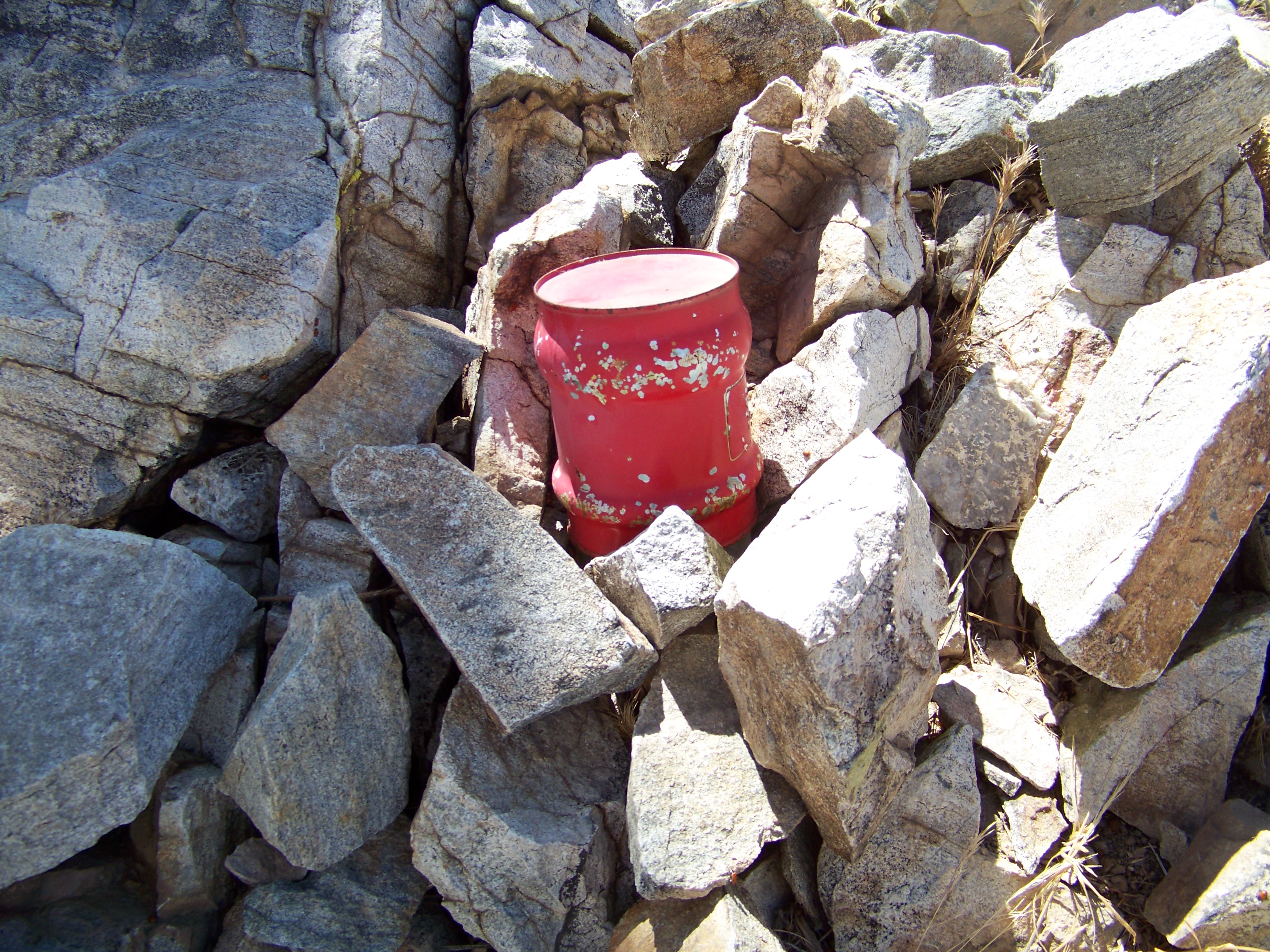
At the top, you'll find a red jar under some rocks containing the summit registry. Feel free to donate a pencil. I started heading down around 11 am and finding shade was nearly impossible. Bring A LOT of water with you if you're going to attempt this during the summer months. I had a little less than 4 liters, and I paid the price. Better yet, don't attempt this hike during the summer months. Check out the Official Route and Triplogs. Leave No Trace and +Add a Triplog after your hike to support this local community. | ||||||||||||||||||||||||||||||||||||||||||||||||||||||||||||||||||||||||||||||||||||||||||||||||||||||||||||||||||||||||||||||||||||||||||||||||||||||||||||||||||||||||||||||||||||||


