 Route Editor

| Guide | ♦ | 2 Triplogs | 0 Topics |
details | drive | no permit | forecast | map |
stats |
photos | triplogs | topics | location |
| 39 | 2 | 0 |
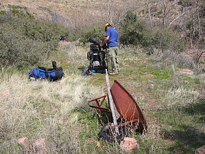
  Overview OverviewLike Copper Camp Loop this loop incorporates an old route over Cypress Ridge - a remote and rarely visited! Route Horseshoe Dam - walkway under dam - FR2058 - FR477 - Copper Camp - Cypress Ridge - Sheep Creek - Sears - Fr477 - FR2058 - Horseshoe Dam walkway. Check out the Triplogs. Note This is a difficult hike. It would be insane to attempt this entire hike without prior experience hiking. Leave No Trace and +Add a Triplog after your hike to support this local community. One-Way Notice This hike is listed as One-Way. When hiking several trails on a single "hike", log it with a generic name that describes the hike. Then link the trails traveled, check out the example. | |||||||||||||||||||||||||||||||||||||||||||||||||||||||||||||||||||||||||||||||||


