Overview
This trail is a newly constructed segment of the Arizona Trail, although not finalized. Work was still progressing as of April 8, 2011.
The start of the trail has a moderate elevation gain for about 1.5 miles through areas of Prickly Pear, Ocotillo, and Saguaros. Then the trail climbs more rapidly over switchbacks and freshly dug trail for about a mile. There is a gradual gain of another 150 ft toward the highest point with grand views of Rincon Peak and Helen's Dome in the East, X9 Ranch and the Rincon Valley toward the South, and Mt Wrightson toward the West. From there the trail descends about 100 ft to the intersection with the Manning Camp Trail. In several places, the path is a fine grain powder. Use caution in steep places that are without standard stepping stones (still in progress).
Return to the trailhead or continue to Manning Camp.
When hiking several trails on a single "hike", log it with a generic name that describes the hike. Then link the trails traveled, check out the example.
WARNING! Hiking and outdoor related sports can be dangerous. Be responsible and prepare for the trip. Study the area you are entering and plan accordingly. Dress for the current and unexpected weather changes. Take plenty of water. Never go alone. Make an itinerary with your plan(s), route(s), destination(s) and expected return time. Give your itinerary to trusted family and/or friends.
Permit $$
None
Saguaro National Park 2022 $25 vehicle • $20 motorcycle • $15 individual on foot or bicycle
Receipt is valid for 7 days
$45 Annual Park Pass View All
No fee required from Miller Creek Trailhead off Mescal Rd.
Directions
Road
FR / Dirt Road / Gravel - Car Okay
To hike From Tucson, take I-10 East to exit #279 (Wentworth/Vail Road). Go north on Vail road for 3 miles to the intersection with Camino Loma Alta. Take a left and follow the road about 5.5 miles to the Loma Alta parking area. The last 0.5-.75 mile is on a smooth gravel road. Hike roughly 2.5 miles on the Hope Camp Trail to the Quilter trailhead on the left.
 Route Editor

 Overview
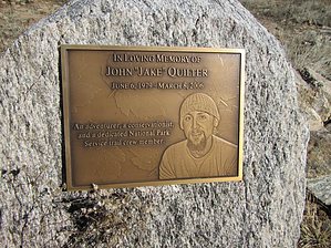


