Route Editor

| Guide | ♦ | 4 Triplogs | 0 Topics |
details | drive | no permit | forecast | route |
stats |
photos | triplogs | topics | location |
| 30 | 4 | 0 |
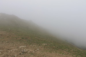
Mission Possible by JimmyLyding  I did this hike on Sunday February 12, 2012 and to say it was crowded is an understatement. I had to park 0.5 mile from the trailhead, and you probably will have to do the same if you try this on a weekend. The traihead has about 20 parking spots (which are probably full unless it's raining or a weekday), a toilet, and some signage that details the region's history. This hike is mostly on a fire road so the footing is pretty good. Indeed, there was a paramedic truck and an ambulance headed up the road when I was headed down. However, don't let that fool you as this hike really gets after it. It's a touch over 3 miles and about 2,000 vertical feet to the summit, so this is a great training hike. The uphill grade does not relent until one reaches the summit, and most visitors turn back after a mile or two. The initial trail is Hidden Valley.
0.18 mile up from the Grove Trail junction you reach another junction where you either turn right for a more direct route to the summit or you can head straight/left to a toilet at this junction. The spur trail from the toilet and the more direct route meet about 0.5 mile below the summit. The trail to the summit is steep, but well worth it. A clear day provides views in all directions including most of the Bay Area and even snow-covered peaks in the Sierra Nevadas. Check out the Official Route and Triplogs. Leave No Trace and +Add a Triplog after your hike to support this local community. | |||||||||||||||||||||||||||||||||||||||||||||||||||||||||||||||||||||||||||||||||||||