 Route Editor

| Guide | ♦ | 36 Triplogs | 1 Topic |
details | drive | no permit | forecast | 🔥 route |
stats |
photos | triplogs | topic | location |
| 349 | 36 | 1 |
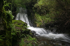
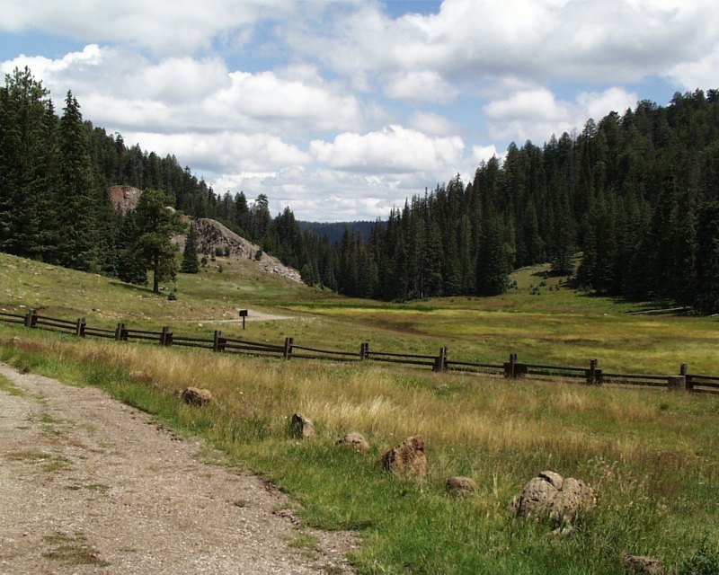
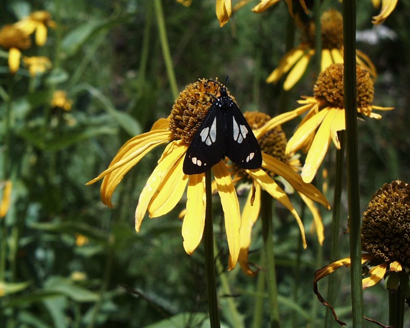
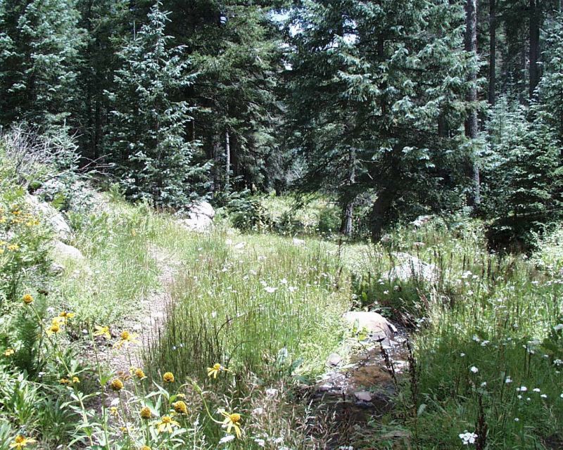
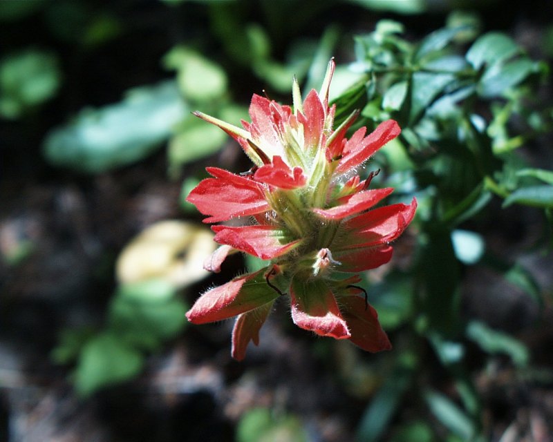
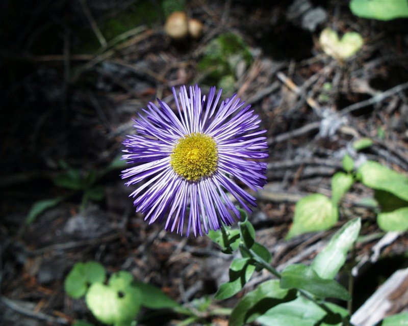
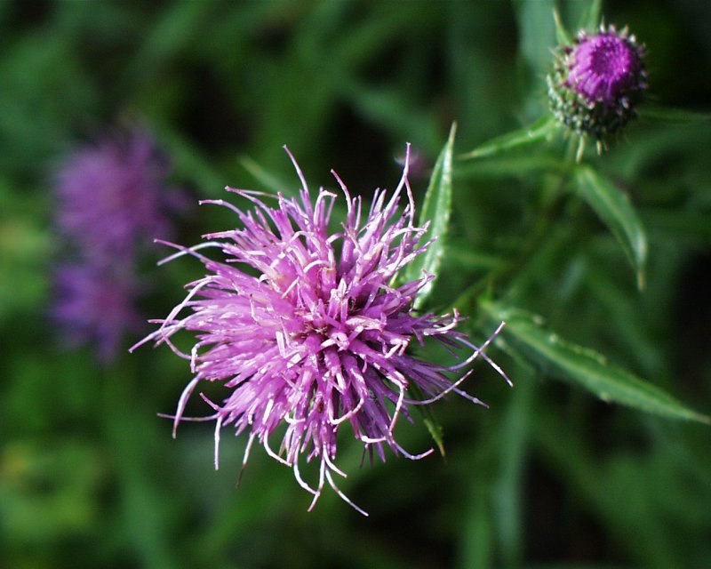
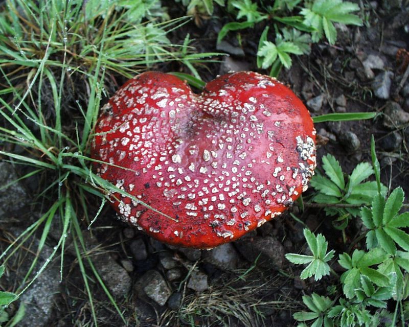
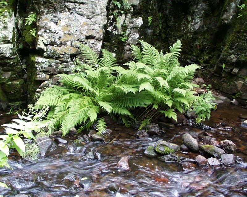
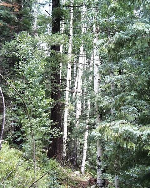
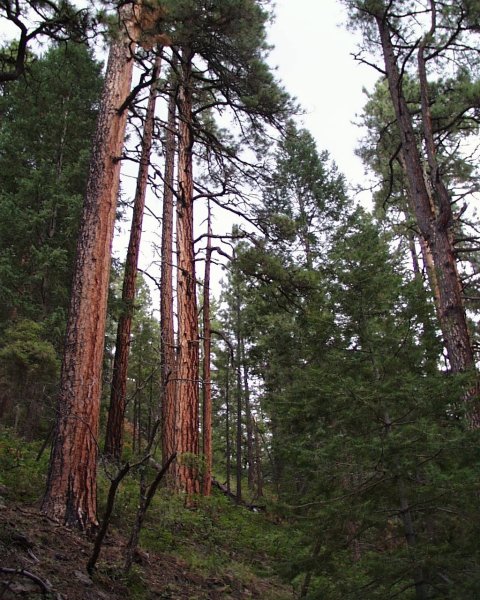
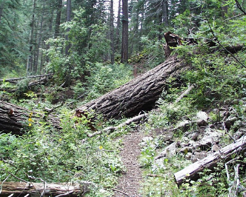
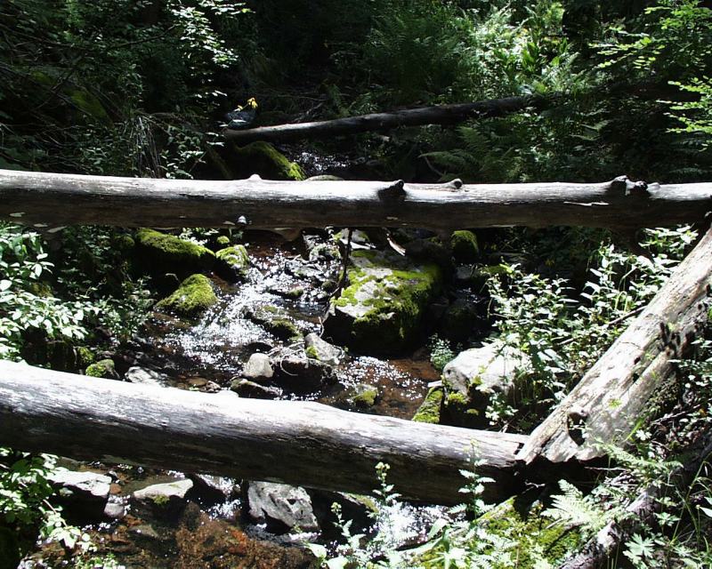
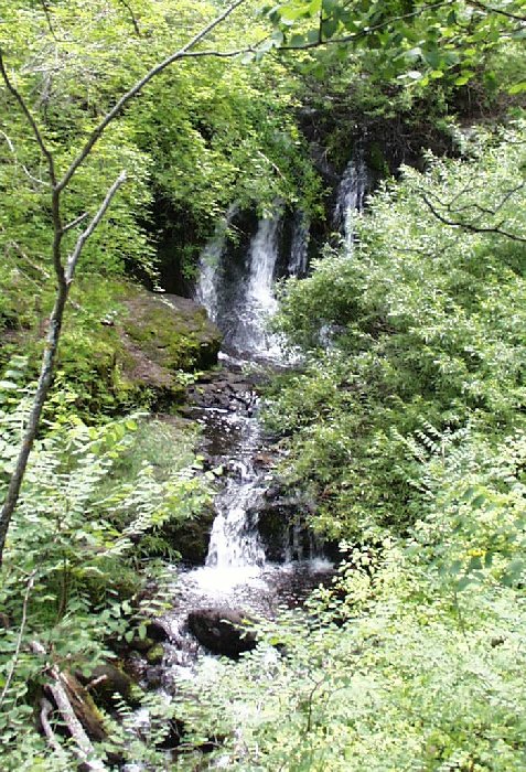
Waterfalls in forest of pine by Rodney  Overview OverviewOut-n-back, 2.8 miles down to KP North Fork then back up. Also available is the full 9.0 mile KP Trail #70. Hike The hike begins in a sub-alpine meadow with black and white butterflies clinging to Grayhead Coneflowers next to a rivulet. The forest then begins to draw you in with beautiful pine trees saluting the sky. The path, softened by a carpet of pine needles, follows the rim for about a half mile before descending to rejoin the water, which has now grown to a small stream. Wildflowers of all kinds, including Queen Anne's Lace, Indian Paintbrush, Showy Daisy, Star Thistle, and a surprising variety of mushrooms abound. There is also quite a bit of moss and lichen and some maidenhair fern. The forest of green is punctuated with small stands of majestic Aspen and Douglas firs to add dazzling white and red to the color palette. We were surprised at the amount of trail maintenance that had recently occurred. A lot of deadfall had been cleared from the path by chainsaw and axe. At one point, though, a fallen tree was so large (about 3 1/2 feet in diameter) that the trail had been made to detour around the roots. Other deadfall was left in place as a means to cross the stream or to keep the forest floor as natural as possible.
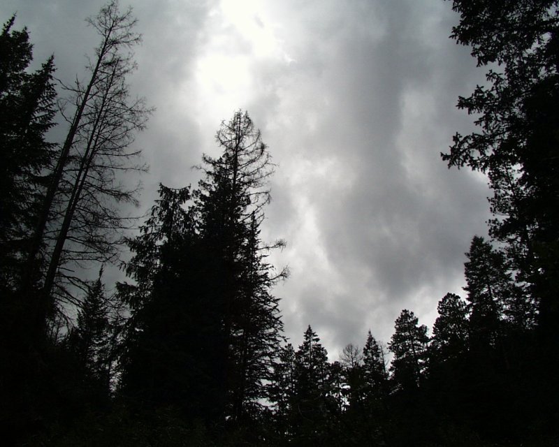
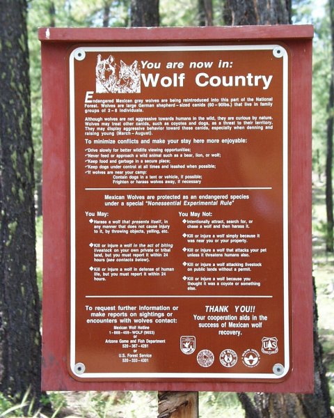
After having encountered two gentle showers on the way in, we headed back up the trail as the roar of the thunder indicated to us that the monsoons were upon us. We were very soaked as we made our way back to the campground from the trailhead and very excited to jump in the car, add some heat, and dry out. Our fingers had gone numb, and the GPS went on strike (shut itself down) due to the weather. We finally broke camp when the rain let up somewhat and decided to head back home to Phoenix via US 191 south in the hopes that we could outrun the storm. This, however, became a real adventure in and of itself. The speed limit went from 30 mph to 25 mph and then, to our amazement, 15 mph. After about 20 miles, the speed limit became 10 mph for 30 miles or so. No guardrails here, thank you very much. We finally outran the storm, but it took 3 hours to drive the first 60 miles toward home. The lesson here: If you're heading back to Globe, do NOT take the southern route! Those that might be interested in the Wolf Recovery Program, the Cienega area is the third-largest area where wolves have been tracked since their release three years ago. Unfortunately, we didn't spot any on this trip. NOTE: Our original intention (which we ruled out due to the weather) was to proceed from the junction of KP #70 and KP #93 onward along KP #70 to the junction with #71 Blue Lookout trail, hike trail #71 south (with an intermediate hike up to the Blue Lookout via #321 Blue Cabin trail) to an unidentified trail which winds back and forth across FR 84 which leads west and close to the Cienega campsite. Be sure to check your topo maps on this one! Check out the Official Route and Triplogs. Leave No Trace and +Add a Triplog after your hike to support this local community. | |||||||||||||||||||||||||||||||||||||||||||||||||||||||||||||||||||||||||||||||||||||||||||||||||||||||||||||||||||


