Route Editor

| Guide | ♦ | 9 Triplogs | 0 Topics |
details | drive | no permit | forecast | route |
stats |
photos | triplogs | topics | location |
| 5 | 9 | 0 |
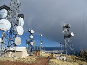
Straight down by nonot  This is a steep trail running down from Greens Peak. Why they call it the Candy Mountain Trail, I have no idea. I had this trail on my GPS, but we didn't realize that this is a mountain biking trail until we were finished. It isn't very suitable for hiking since it is so steep. This is a steep trail running down from Greens Peak. Why they call it the Candy Mountain Trail, I have no idea. I had this trail on my GPS, but we didn't realize that this is a mountain biking trail until we were finished. It isn't very suitable for hiking since it is so steep.As a mountain biking trail, I suspect this is pretty advanced. You better have your brakes in proper working order, though I'm not sure you'd be able to stop until you got to the bottom anyway. The trail braids several times, and as it gets towards the bottom, there appear to be about a dozen routes. There are several jumps and ramps along the way. I'd advise caution as the trail is steep and narrow. I suspect if you crash, you'll roll a long way, maybe all the way to the bottom.
Check out the Official Route and Triplogs. Leave No Trace and +Add a Triplog after your mountain bike ride to support this local community. | |||||||||||||||||||||||||||||||||||||||||||||||||||||||||||||||||||||||||||||||||||||||||||||||||||||||||||||||||||||||||||||||||||||||||||||||||||||||||||||