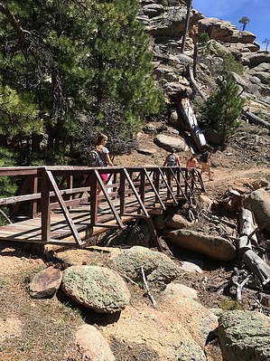
This spur trail begins on the west side of the Potato Patch Loop in Hualapai Mountain County Park, near Boy Scout Camp Levi Levi. The developed path does not gain the summit of Aspen Peak but ends at park brochure point #10: Dean Peak Overlook.
Hikers who wish may scramble off-trail up to the true peak. ( statistics on this page do not include the distance or elevation to the true peak ) Explorers might find the remains of a storm shelter built by the CCC in the 1930s nearby.
WARNING! Hiking and outdoor related sports can be dangerous. Be responsible and prepare for the trip. Study the area you are entering and plan accordingly. Dress for the current and unexpected weather changes. Take plenty of water. Never go alone. Make an itinerary with your plan(s), route(s), destination(s) and expected return time. Give your itinerary to trusted family and/or friends.
Permit $$
Hualapai Mountain Park $10 - Day use, $20 camping.
Directions
Road
Connector trail - Not Applicable
To hike Accessed from the west side of the Potato Patch Loop in the Hualapai Mountain County Park.
 Route Editor

 This spur trail begins on the west side of the Potato Patch Loop in Hualapai Mountain County Park, near Boy Scout Camp Levi Levi. The developed path does not gain the summit of Aspen Peak but ends at park brochure point #10: Dean Peak Overlook.