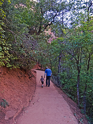
There are a myriad of Emerald Pools Trails: Lower Emerald Pools, Middle Emerald Pools, Upper Emerald Pools, and a variety of use trails interconnecting them, usually with some tag as one of the above which can be confusing. The most popular way appears to be: after you cross the bridge from the Zion Lodge bus stop, go right, this is the lower pools trail. When you reach the waterfalls, you can climb around and up to the middle/upper trails. The upper trail is a one-way trail to the highest elevation pool where you can view the Heaps Canyon exit, which may be a 300-foot waterfall after recent rains. You can make a loop out of all of them for about 2-3 miles total hiking.
Zion Park charges entry fees per vehicle. During the summer they operate a free shuttle system between the visitor center and most hiking trails.
WARNING! Hiking and outdoor related sports can be dangerous. Be responsible and prepare for the trip. Study the area you are entering and plan accordingly. Dress for the current and unexpected weather changes. Take plenty of water. Never go alone. Make an itinerary with your plan(s), route(s), destination(s) and expected return time. Give your itinerary to trusted family and/or friends.
Permit $$
information is in description
Zion National Park Zion Per Car/7 Day Entrance Fee (Permits such as backcountry and such may pertain too)
Directions
Road
Paved - Car Okay
To hike Zion Visitor center is on highway 9 just north of Springdale, Utah. Once at the visitor center, park and get on the free shuttle. Get off the shuttle at zion Lodge and start your hike by going across the street and over the bridge.
 Route Editor