 Route Editor

| Guide | ♦ | 7 Triplogs | 3 Topics |
details | drive | no permit | forecast | 🔥 route |
stats |
photos | triplogs | topics | location |
| 50 | 7 | 3 |
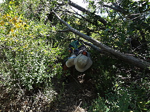
 2026-02-09 2026-02-09The managing agency Tonto National Forest lists this trail as Closed. The upper section of the trail has sustained fire damage. Bobtail Trail 194 gradually descends in a southwesterly direction along the spine of Bobtail Ridge from the trailhead. About 1⁄4 mile, the trail meets the Pipeline Trail 193. The pipeline is on the right. After 2.1 miles, the trail turns to the east and descends from the ridge. After 2.9 miles, the trail meets a fence line. The trail continues parallel to the fence for 0.4 miles and ends at Forest Road (FR) 221. There is a gate at this point that should be closed after passing through. Gate Policy: If a gate is closed upon arrival, leave it closed after you go through. If it is open, leave it open. Leaving a closed gate open may put cattle in danger. Closing an open gate may cut them off from water. Please be respectful, leave gates as found. The exception is signage on the gate directing you otherwise. Check out the Official Route and Triplogs. Note This is a moderately difficult hike. Leave No Trace and +Add a Triplog after your hike to support this local community. One-Way Notice This hike is listed as One-Way. When hiking several trails on a single "hike", log it with a generic name that describes the hike. Then link the trails traveled, check out the example. | |||||||||||||||||||||||||||||||||||||||||||||||||||||||||||||||||||||||||||||||||||||||||||||||||||||||||||


