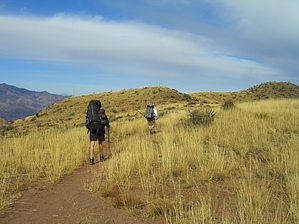
Hike
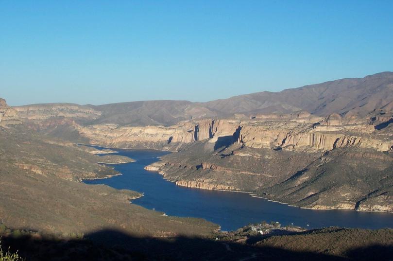
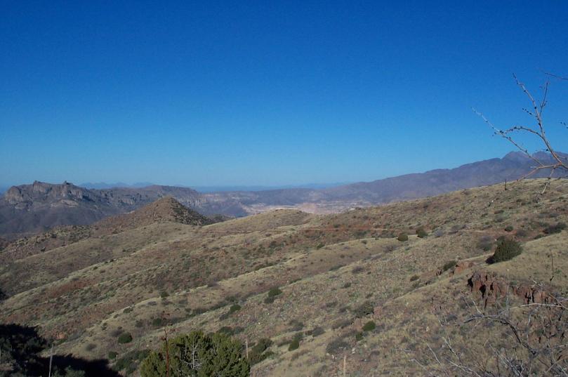
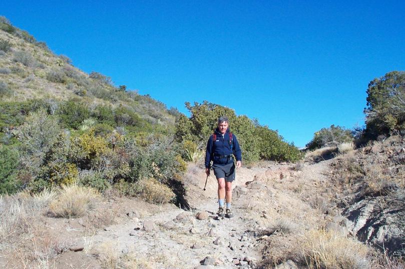
From the trailhead you are afforded an excellent overview of Apache Lake. The Reavis Ranch Trail ascends at moderate grade through grassing rolling hills toward Castle Dome. The trail is mostly smooth but an occasional rocky section keeps you on your toes. The trail passes on the
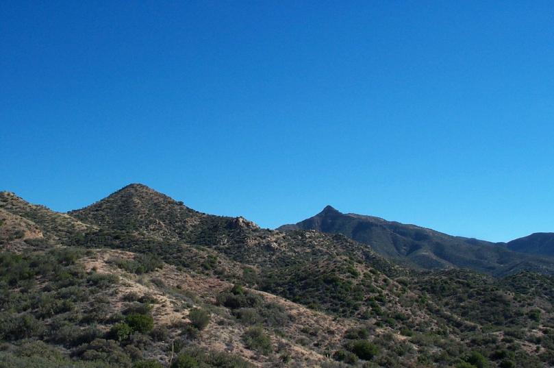
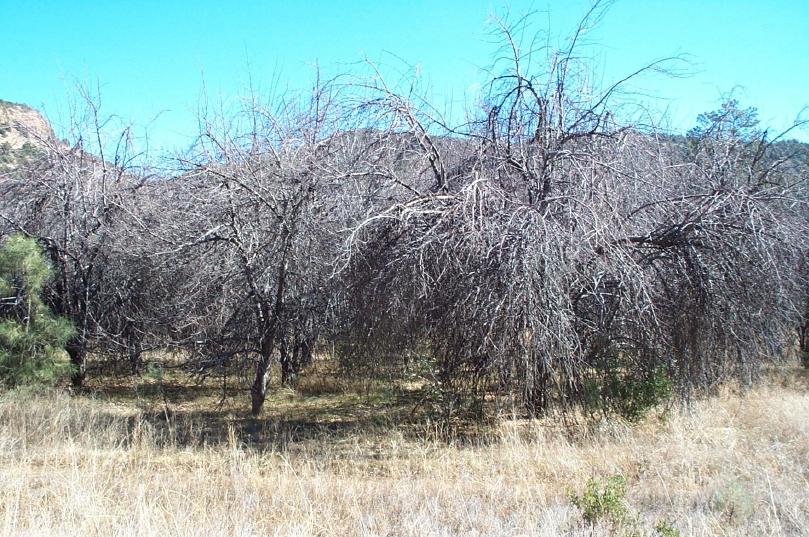
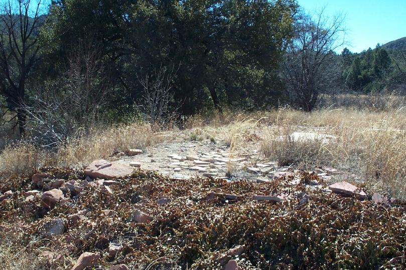
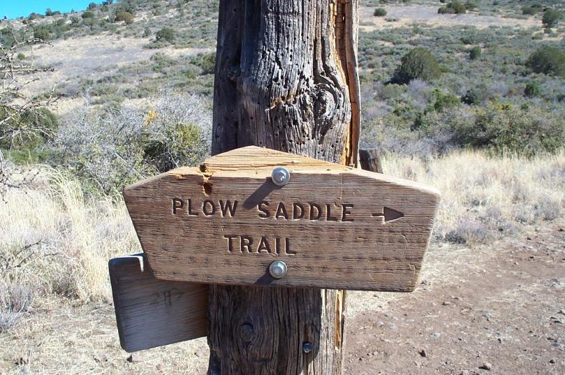
east side of Castle Dome, through Windy Pass, before descending to the junction with Plow Saddle Trail (see below for details on a side hike to Plow Saddle Springs). The trail continues to the east passing Frog Tanks trail junction before descending into a wooded area where it follows an old fence line. There are a couple of breaks in the fence with trails that presumably go to the creek. Continuing along the fence, you will pass an apple orchard before arriving at Reavis Ranch. The ranch house burned down in 1991 but the foundation still remains.
The Reavis Ranch Trail is also accessible from the west end at Rogers Trough.
If you desire to take a side hike to Plow Saddle Springs, at the junction, turn 90 degrees right onto the Plow Saddle Trail, walk 15 feet then turn 90 degrees left. The Plow Saddle Trail drops sharply into a wash with a few Cottonwood Trees before coming to Plow Saddle Springs. There is an old concrete tank and a coral at Plow Springs. There is no trail sign at this point, but Frog Tanks Trail is immediate to the left as you enter the Plow Saddle Springs area. Frog Tanks Trail winds back up the hill where it will junction with Reavis Ranch Trail. Turn right and head to the ranch.
WARNING! Hiking and outdoor related sports can be dangerous. Be responsible and prepare for the trip. Study the area you are entering and plan accordingly. Dress for the current and unexpected weather changes. Take plenty of water. Never go alone. Make an itinerary with your plan(s), route(s), destination(s) and expected return time. Give your itinerary to trusted family and/or friends.
Permit $$
None
Directions
Road
FR / Jeep Road - Car possible when dry
To Reavis Trailhead From Phoenix take US 60 east. Exit at Apache Junction (Idaho Rd, exit 196) and drive northeast on State Highway 88. Follow 88 past Canyon Lake and Tortilla Flats to the end of the pavement. Continue on the dirt road until you see the sign for Reavis Ranch Trail between mile marker 227 and 228. Turn right and follow this dirt road to its end (2.8 mile). The trailhead is at the north end of the parking lot. The smooth, well-graded dirt roads are easily passable in a passenger car during dry weather. Because of numerous hair pin curves, plan on the 28 miles from US 60 to the trailhead taking an hour.
From PHX (I-10 & AZ-51) - 67.0 mi, 1 hour 49 mins From TUC (Jct 1-10 & Grant) - 129 mi, 3 hours 15 mins From FLG (Jct I-17 & I-40) - 211 mi, 4 hours 8 mins
 Route Editor


