Route Editor

| Guide | ♦ | 242 Triplogs | 3 Topics |
details | drive | no permit | forecast | 🔥 route |
stats |
photos | triplogs | topics | location |
| 423 | 242 | 3 |
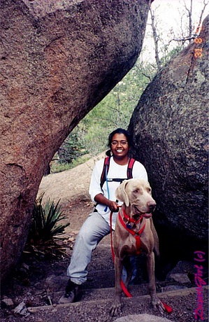
Short Steep by desertgirl  Overview OverviewA fairly short trail with an interesting name located on the eastern slope of Mt.Elden. This is a 2.5-mile loop trail that takes you to Fatman's Gap. Hike The trail begins at the Elden Lookout Trailhead parking lot. Start on the main trail, and at about 0.15 miles, you will reach a fork. Take the right side trail to Fatman's Loop, passing through a fence and following the mountain's base. At 0.4 miles, you will see a sign for Fatman's loop and Elden Lookout. Go left towards Mt. Elden, and the trail climbs steeply. At about 0.9 miles, you are high enough to have views of Doney Park to your right and the lava cliffs on Mt Elden to your left. These lava cliffs were caused by volcanic activity some 2 million years ago. These cliffs have given Mt Elden's southeastern face names like "Corduroy cast in stone" and "lava stairs."
Mile 2 puts you at the junction with a sign for Pipeline Trail, Oldham Trail & buffalo Park. The parking lot is just a little bit beyond. The easy access, short trail, and the sunny southern exposure ensure that the trail is active all year long. Parking can be limited on weekends.
Coconino FS Details For the most part, the Fatmans Loop is an easy walk, although it does have a few short steep sections. Scenic overlooks of Flagstaff, the city's eastern suburbs and the surrounding countryside make this a good place for a stroll when you have time to stop and enjoy the view. Along the route there are a number of interesting rock formations that bear witness to Mt. Elden's volcanic origins. One of these is a bit of a tight squeeze, hence the trail's name. The area through which this trail leads supports a diverse community of plant species including upland trees such as white fir and ponderosa pine. Shrubs and smaller trees more usually associated with lower altitudes are also present. Among these are cliff rose, alligator juniper and broadleaf yucca. Wildlife you may encounter on this trail includes Abert's squirrels, pygmy nuthatches, mule deer and grey foxes along with more commonly encountered animals such as Steller's jays and ravens. This trail provides access to the Elden Lookout Trail which continues two miles and 2,000 feet to the summit of Mt. Elden.
Check out the Official Route and Triplogs. Leave No Trace and +Add a Triplog after your hike to support this local community. | ||||||||||||||||||||||||||||||||||||||||||||||||||||||||||||||||||||||||||||||||||||||||||||||||||||||||||||||||||||||||||||||||||||||||||||||||||||||||||||||||||||||||||||||||||||||||||||||||||||||