 Route Editor

| Guide | ♦ | 30 Triplogs | 1 Topic |
details | drive | no permit | forecast | 🔥 route |
stats |
photos | triplogs | topic | location |
| 353 | 30 | 1 |
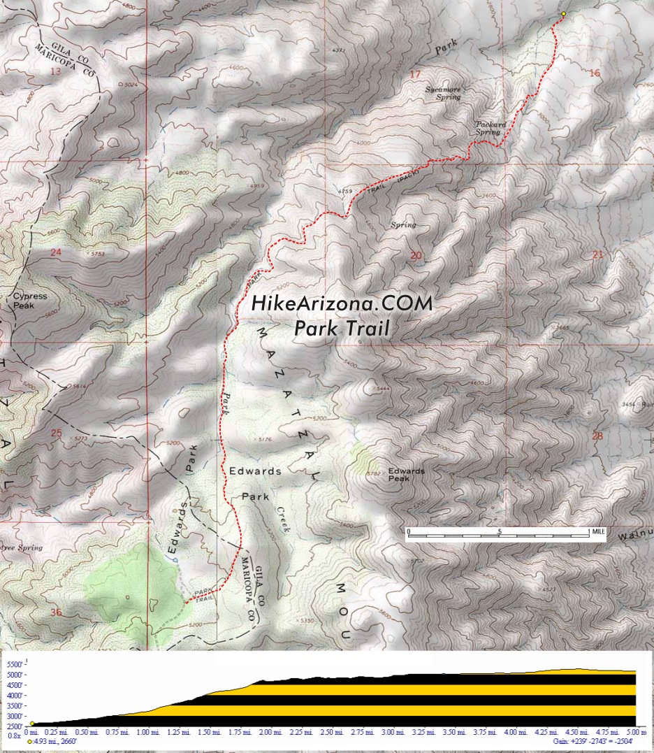
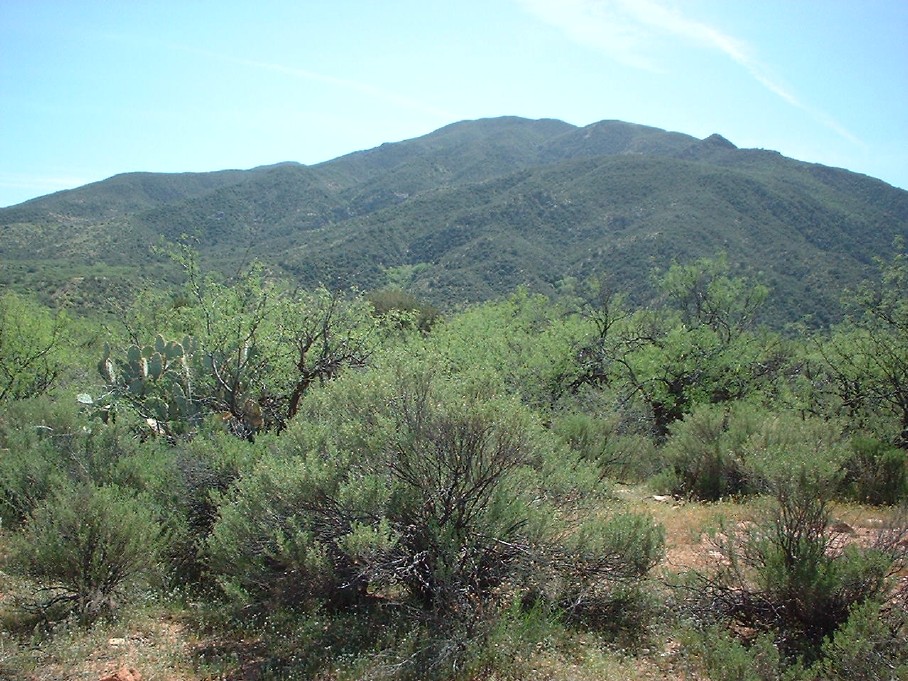
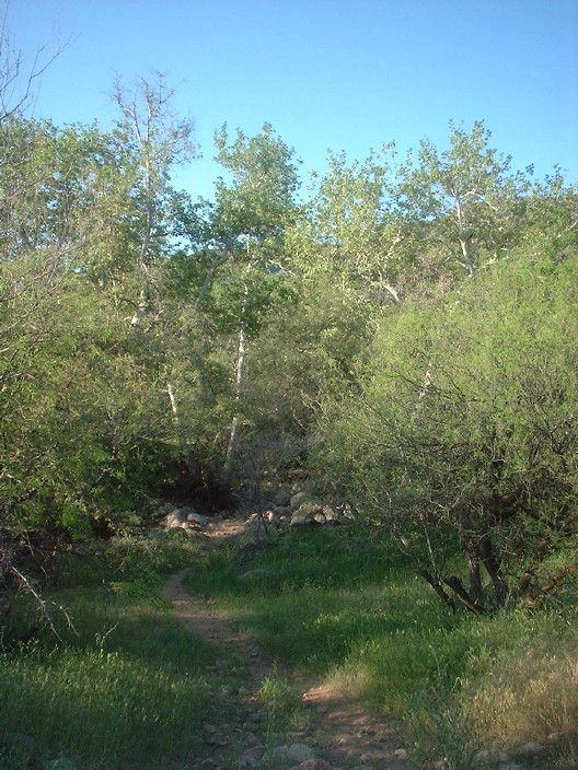
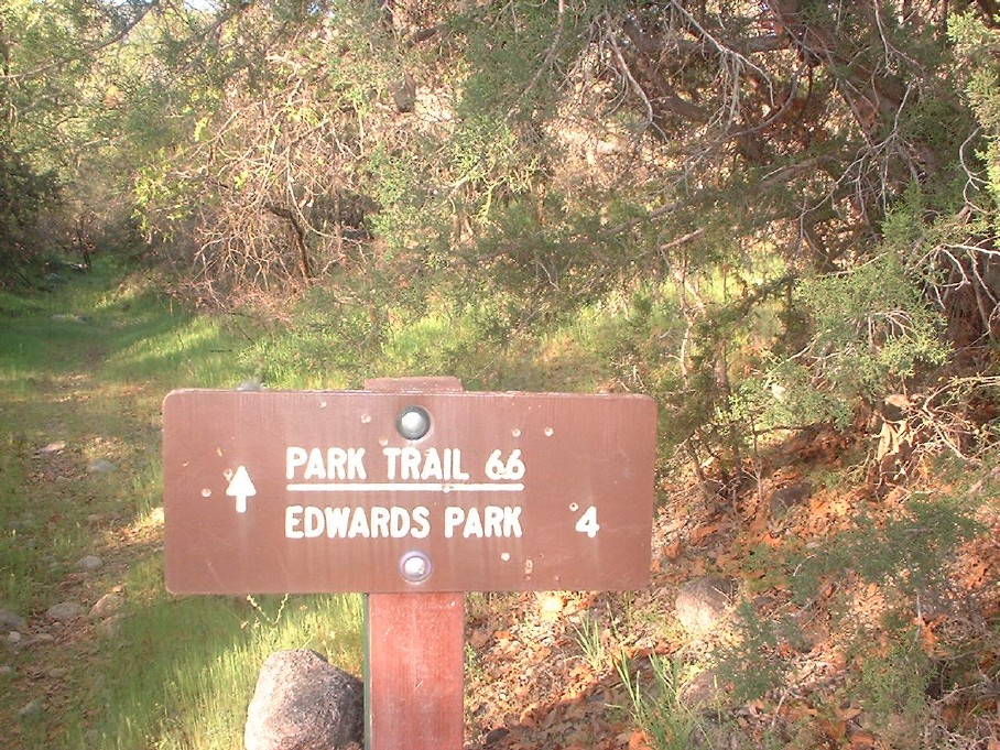
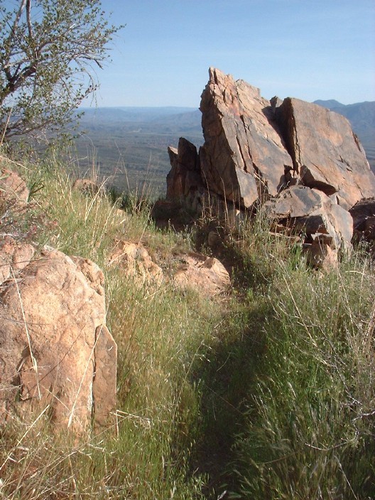
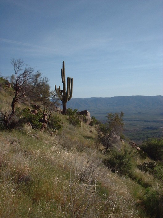
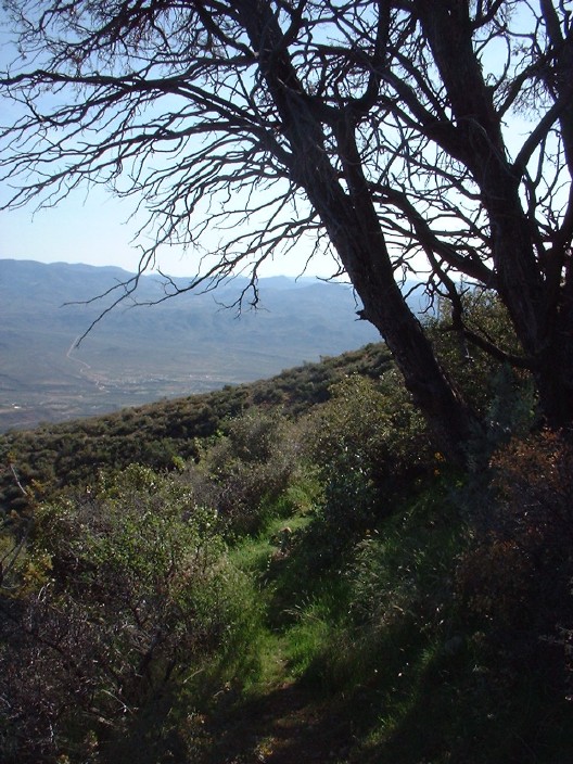
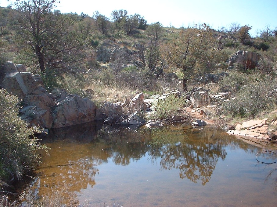
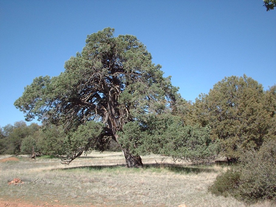
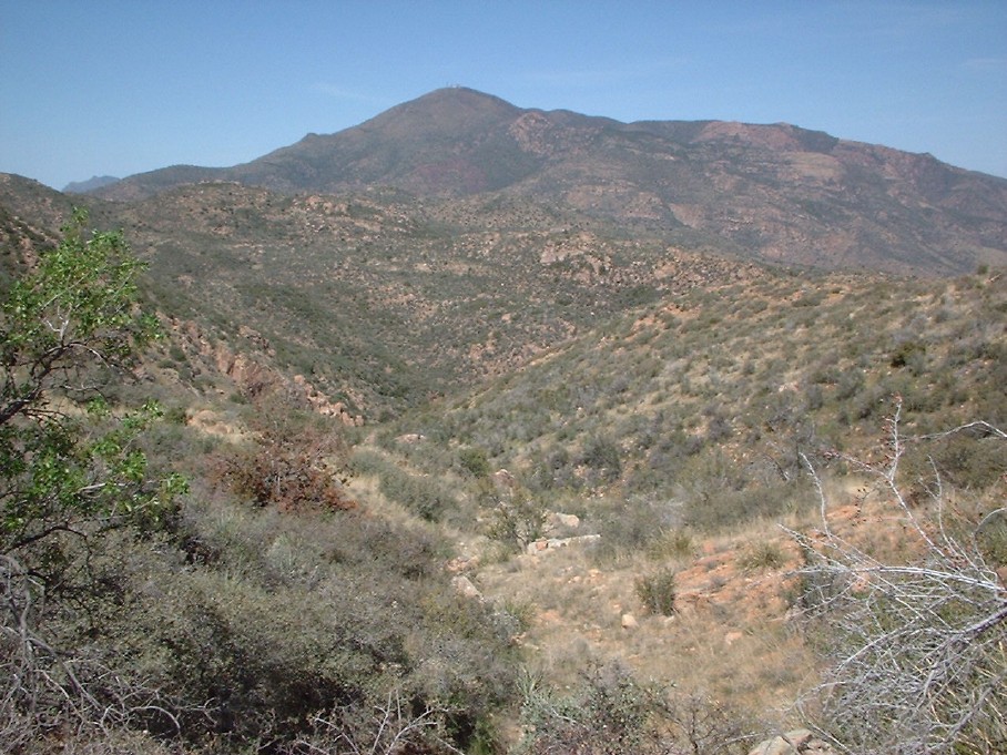
Enjoyable by aaronhales   Park Trail #66 provides probably some of the easiest access to one of the least-visited areas of the Mazatzals, hence why I chose this trail. There is nothing spectacular about this trail, but it does lead to some interesting destinations, in my opinion. Park Trail #66 provides probably some of the easiest access to one of the least-visited areas of the Mazatzals, hence why I chose this trail. There is nothing spectacular about this trail, but it does lead to some interesting destinations, in my opinion.The trail starts near the end of FR1382 on the east side of the central Mazatzals. Initially, I didn't find the trail right away. After parking at the end of the road, one will need to backtrack about 100 feet, upon which you will find the trail descending on the south side of the road and immediately crossing Park Creek. After you cross the creek, you will finally see some signage for this trail. The trail is pretty faint compared to most I'm used to, but not faint enough that you can't follow it. You can tell this trail does not get a lot of use. About 1/2 mile into the trail, it will start to climb out of the riparian area along Park Creek and enter into typical high desert scenery as it climbs. Spread out to the east before you will be expansive views of Tonto Basin and the Sierra Anchas and the town of Roosevelt below (more populated than I thought).
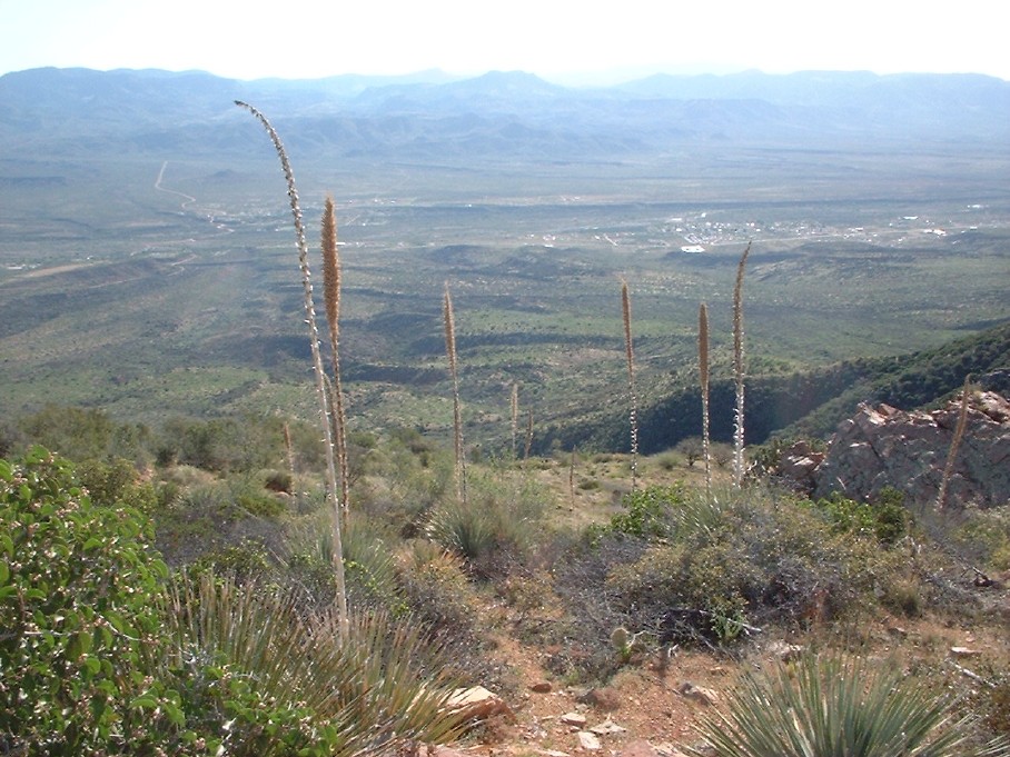
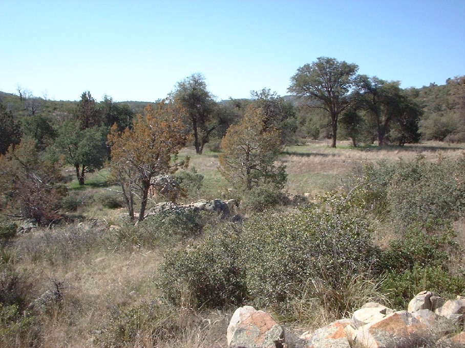
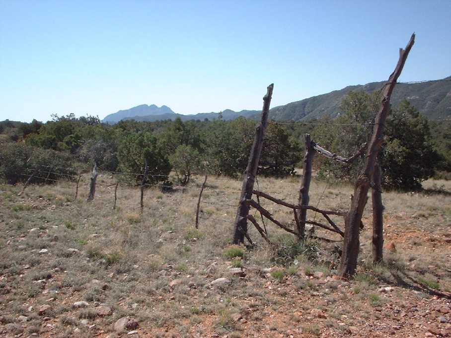
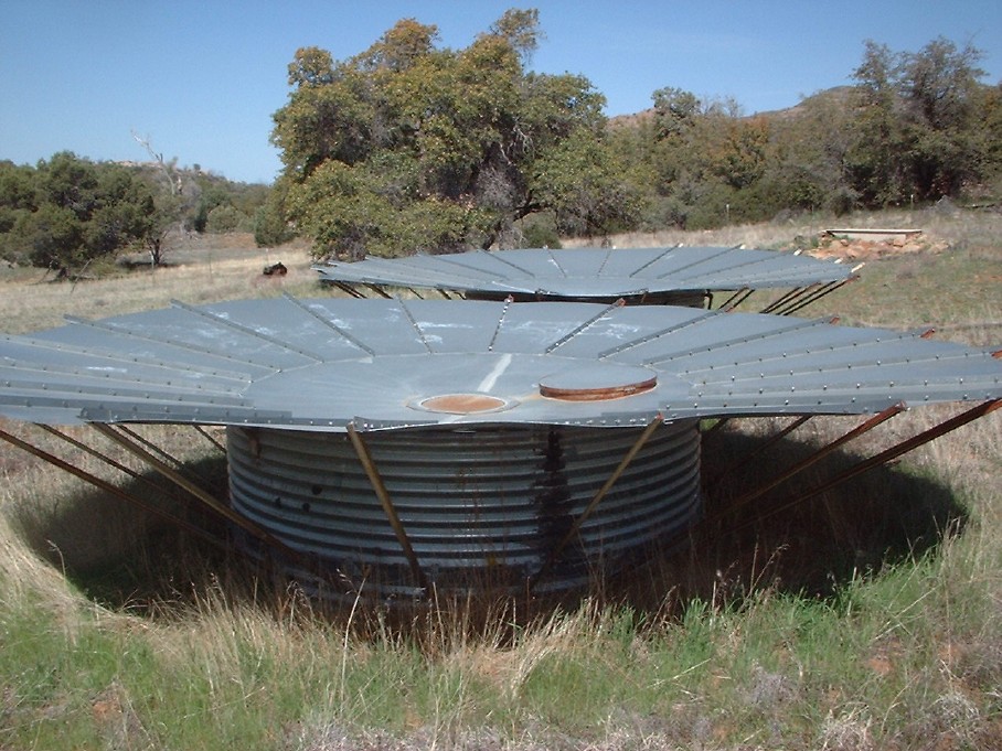
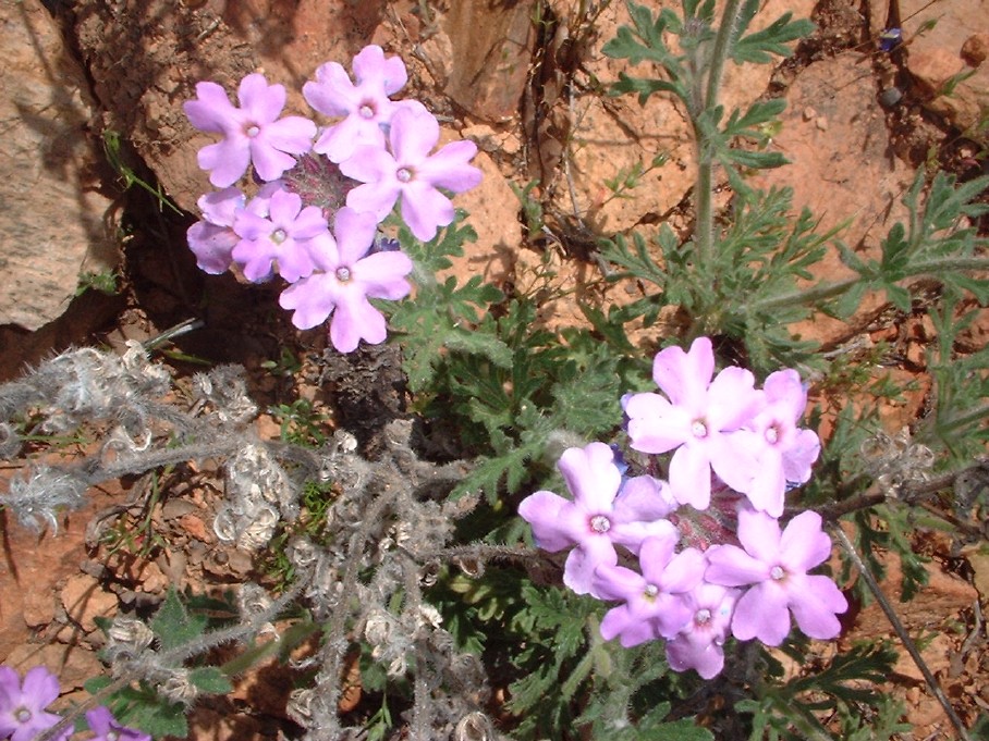
Edwards Park is also the terminus of FR422 that runs south from this point along the crest of the Mazatzals about 11 miles until it connects with FR143 (Four Peaks road). You can either decide to turn around at Edwards Park or keep going on FR422, which I decided to do. It was nice and flat, so I figured, "why not?". I'm glad I did; it's interesting up along the crest of the southern Mazatzals. Although no pine forests, there are some huge trees up there, particularly oak and juniper. You also can take in distant views of the Four Peaks. I figured a good stopping point would be where the Boulder Creek Trail (part of the AZT) hooks up with FR422. This is probably 2 miles past Edwards Park. At this juncture you will have a closeup view of Boulder Mtn. On the way back, I noticed what appeared to be water cisterns of some sort. It looks like there is some ranching done up here, though I didn't see any cows. The only thing to note on the way back is a view of Mt. Ord's south side and some more wildflowers. All in all, I enjoyed the trail. It offered enough variety and complete solitude. The distance and time listed for the trail are up to Edwards Park only.
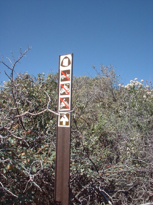
Check out the Official Route and Triplogs. Leave No Trace and +Add a Triplog after your hike to support this local community. One-Way Notice This hike is listed as One-Way. When hiking several trails on a single "hike", log it with a generic name that describes the hike. Then link the trails traveled, check out the example. | ||||||||||||||||||||||||||||||||||||||||||||||||||||||||||||||||||||||||||||||||||||||||||||||||||||||||||||||||||||||||||||||||||||||||||||||||||||||||||||||||||||||||||||||||||||||||||||||||||||||||


