 Route Editor

| Guide | ♦ | 45 Triplogs | 0 Topics |
details | drive | no permit | forecast | 🔥 route |
stats |
photos | triplogs | topics | location |
| 367 | 45 | 0 |
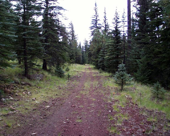
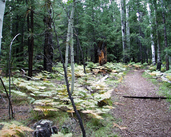
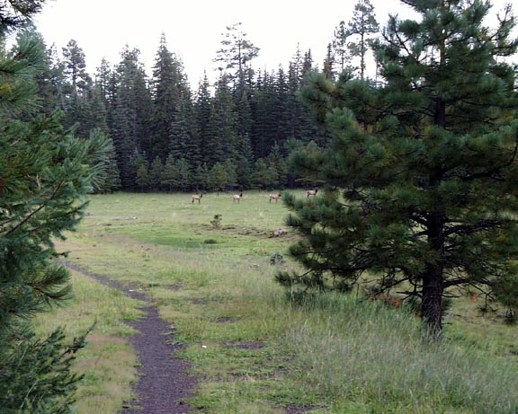
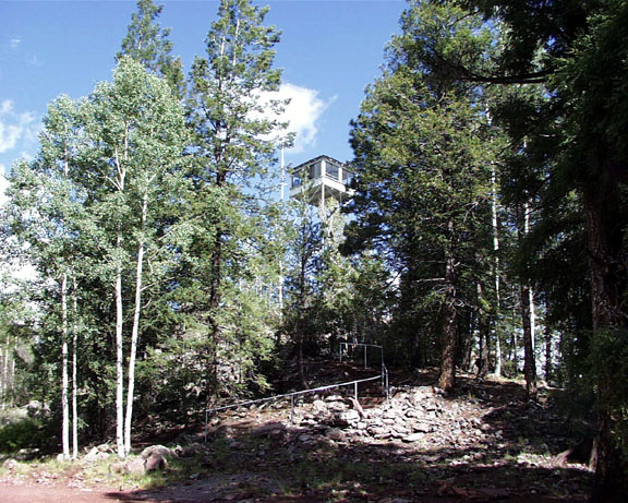
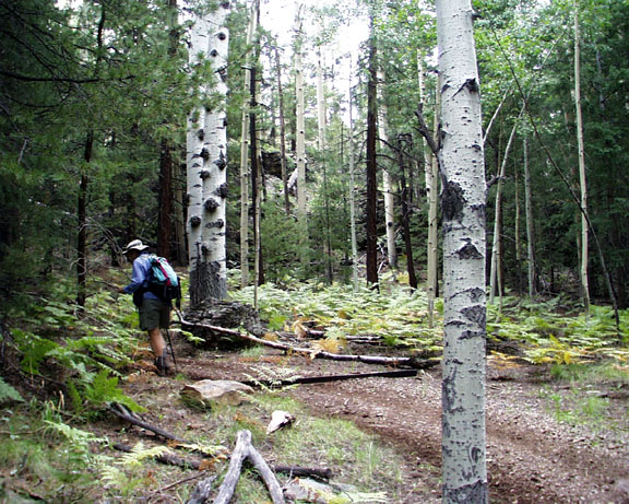
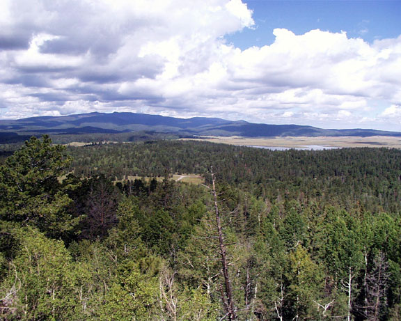
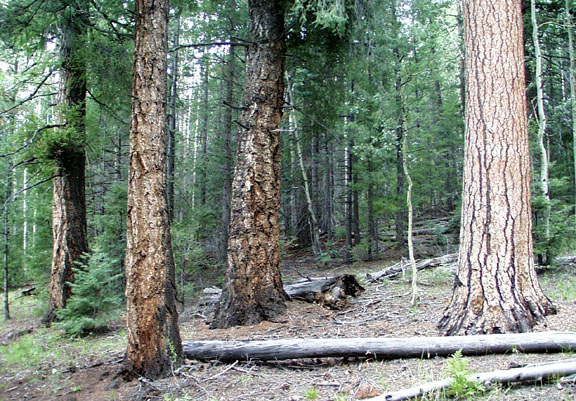
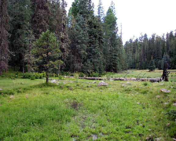
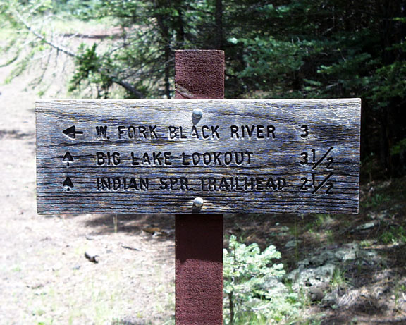
Good for rainy days by conform6073  Although Indian Spring Trail offers no spectacular views, does not follow the course of a mountain stream, is not physically challenging, and does not traverse the particularly beautiful alpine landscape, it is worth considering for a few reasons. Foremost among these is its all-weather surface. Most of the trail lies atop a cindered railroad grade or has been graveled , making it a good rainy day choice. It's located just south of Big Lake, with a spur running up into one of the campgrounds, and another branch connects it to West Fork Trail #628. And despite the concentration of people and traffic around Big Lake, elk and other game frequent the woods and meadows around the trail. Although Indian Spring Trail offers no spectacular views, does not follow the course of a mountain stream, is not physically challenging, and does not traverse the particularly beautiful alpine landscape, it is worth considering for a few reasons. Foremost among these is its all-weather surface. Most of the trail lies atop a cindered railroad grade or has been graveled , making it a good rainy day choice. It's located just south of Big Lake, with a spur running up into one of the campgrounds, and another branch connects it to West Fork Trail #628. And despite the concentration of people and traffic around Big Lake, elk and other game frequent the woods and meadows around the trail.Proceeding south from the trailhead, one reaches the turnoff to Big Lake lookout in half a mile. The side trip up Big Lake Knoll is worth the effort as it presents the only steep grades of the hike, passes through a grove of aspens of considerable size and offers some nice long views toward Mt. Baldy from the tower stairs.
The trail joins the abandoned rail bed and turns back north for about three miles in another mile. Midway along this section a connector trail branches left to West Fork Trail. If shuttling between trailheads is possible, one can combine Indian Spring, West Fork, and Thompson Trails into a single 11-mile hike that progresses through increasingly lovely terrain ending on the bank of a mountain stream, a drop-dead gorgeous valley.
Check out the Official Route and Triplogs. Leave No Trace and +Add a Triplog after your hike to support this local community. | |||||||||||||||||||||||||||||||||||||||||||||||||||||||||||||||||||||||||||||||||||||||||||||||||||||||||||||||||||||||||||||||||||||||||||||||||||||||||||||||||||||||||||||||||||||||||||


