Route Editor

| Guide | ♦ | 35 Triplogs | 2 Topics |
details | drive | no permit | forecast | route |
stats |
photos | triplogs | topics | location |
| 517 | 35 | 2 |
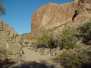
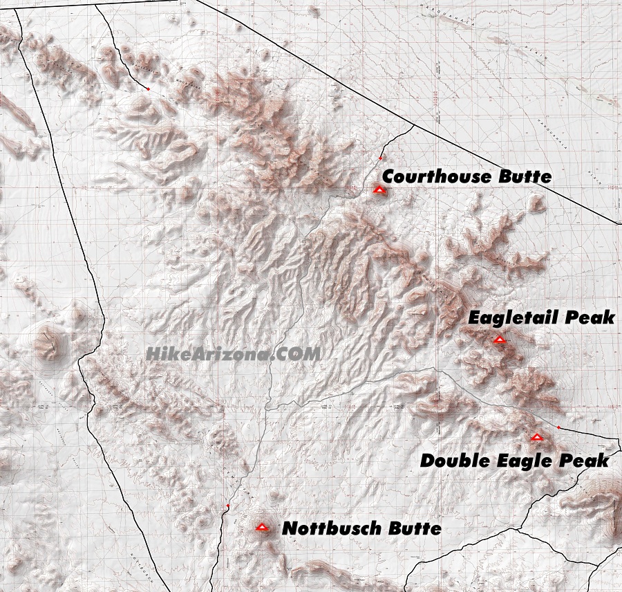
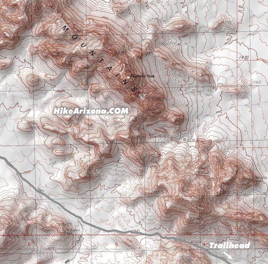
Easy, remote, fascinating! by nrg_crisis  What the Ben Avery Trail lacks in elevation gain, it more than makes up for in cultural and historical fascination. This trail is just about the antithesis of Camelback or Picacho: the hiking is easy, the crowds nonexistent, and the rewards are perhaps more for the soul than for the body. Bring maps, bring water, and bring a cell phone: this is an isolated area, aptly designated a Wilderness. Apart from the one rancher we passed on the road in, we saw nary a soul the entire day during our December visit. What the Ben Avery Trail lacks in elevation gain, it more than makes up for in cultural and historical fascination. This trail is just about the antithesis of Camelback or Picacho: the hiking is easy, the crowds nonexistent, and the rewards are perhaps more for the soul than for the body. Bring maps, bring water, and bring a cell phone: this is an isolated area, aptly designated a Wilderness. Apart from the one rancher we passed on the road in, we saw nary a soul the entire day during our December visit.The trail passes through the Wilderness fence and starts on an old Jeep trail with the Eagletail on your left, heading roughly south, for about a half-mile. It then descends into a wash, turns southwest, and follows that for a mile or so. The wash will narrow; when it starts to look impassably overgrown, the trail angles left and climbs out on to another old Jeep trail. After cresting a slight ridgeline and crossing in and out of several small washes, the trail merges into a reasonably large wash that approaches the trail from the right about 2.5 miles in. Stay in that wash, this time heading slightly downhill, for another mile and then look for a low, dark-volcanic mesa on your left where the wash turns sharply to the left. STOP THERE! Look up toward the top of the mesa on your left and see if you can pick out some of the hundreds of petroglyphs on the rocks and cliffs above. The petroglyphs are designated as a National Historic Site; they are likely the Hohokam people's work and are anywhere from 500 to 3500 years old, protected from the unwashed masses only by how remote the area is.
Check out the Official Route and Triplogs. Leave No Trace and +Add a Triplog after your hike to support this local community. | |||||||||||||||||||||||||||||||||||||||||||||||||||||||||||||||||||||||||||||||||||||||||||||||||||||||||||||||||||||||||||||||||||||||||||||||||||||||||||||||||||||||||||||||||||||||||||||||||||||||