 Route Editor

| Guide | ♦ | 102 Triplogs | 0 Topics |
details | drive | permit | forecast | route |
stats |
photos | triplogs | topics | location |
| 254 | 102 | 0 |
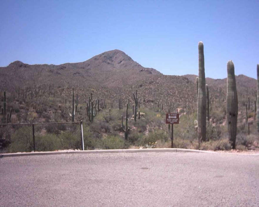
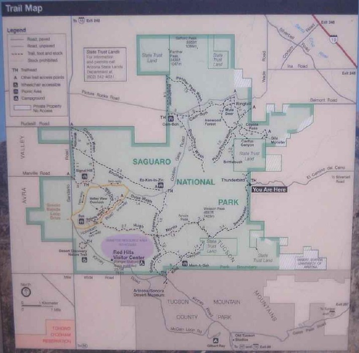
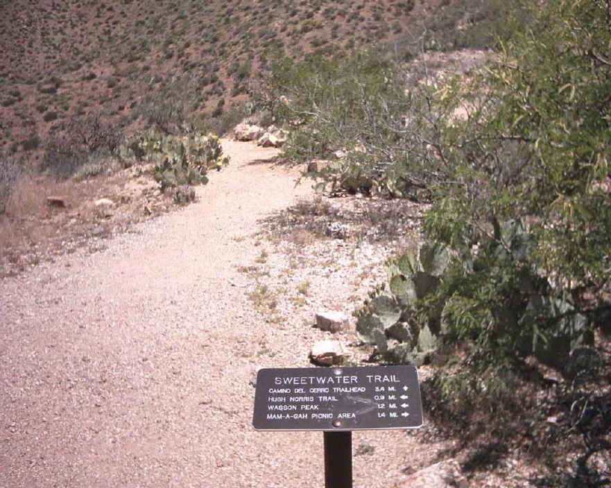
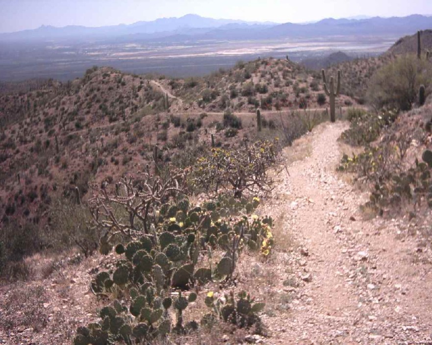
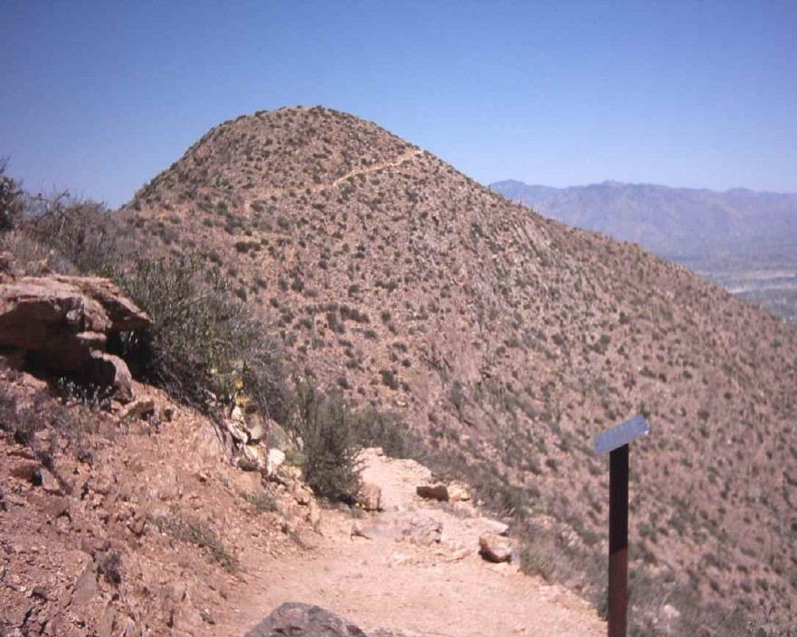
The top of the Tucson Mountains by bigracket1  This trail is the eastern access point to Wasson Peak, the highest point in the Tucson Mountains, the range to the west of Tucson. It is also located entirely within Saguaro National Park West. If you're looking for a shaded hike with water sources on the trail, look elsewhere. If you want to bag a peak and don't mind desert scenery, abundant sun, and elevation changes, this hike may be for you. This trail is the eastern access point to Wasson Peak, the highest point in the Tucson Mountains, the range to the west of Tucson. It is also located entirely within Saguaro National Park West. If you're looking for a shaded hike with water sources on the trail, look elsewhere. If you want to bag a peak and don't mind desert scenery, abundant sun, and elevation changes, this hike may be for you.The trail begins at a Pima county trailhead with room for several cars and two horse rigs just outside the park. The peak is right in front of you as you begin, but because of mines, private property access problems, and difficult terrain, you must go around and summit from the other side. Immediately you pass a useful park map, and the trail register a few minutes later. The flowers were in bloom, but otherwise, nothing of note for the first three miles of the trail. A couple of times, you'll descend into a wash and come back up, and rock stairs are meticulously planted on the downslopes. After about 2.5 miles, the trail follows the bottom of a rocky but vegetated ridge, with a wash nearby below that, looks like it would be easier than the trail to walk in.
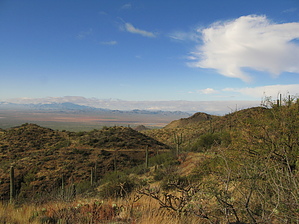
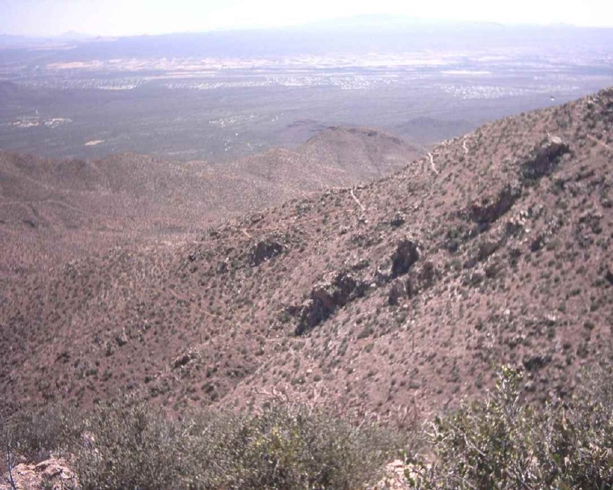
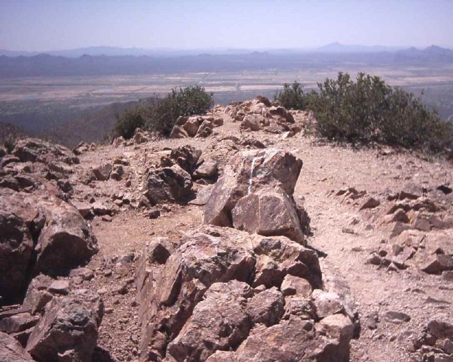
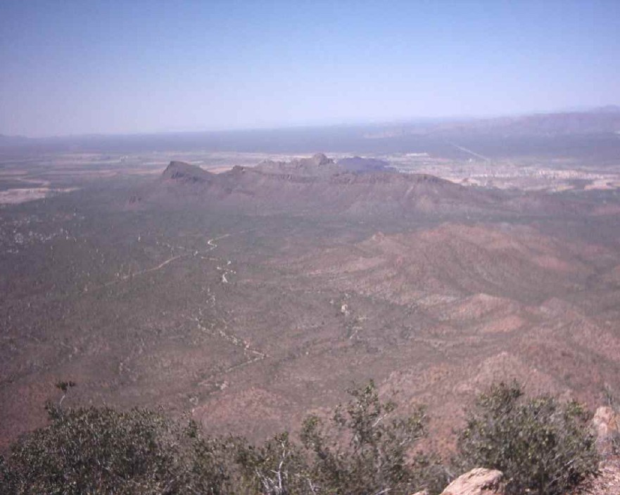
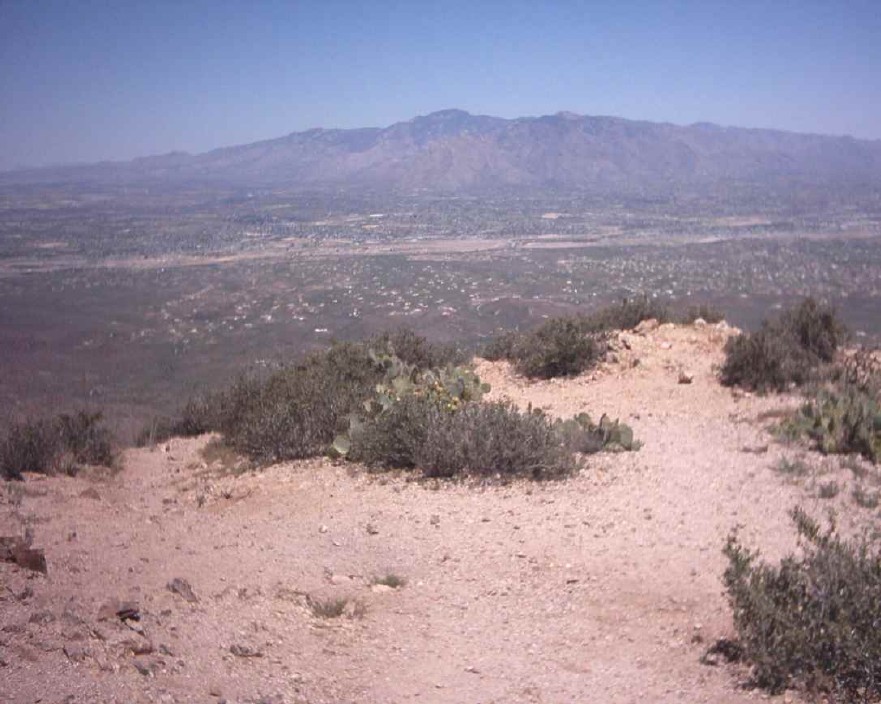
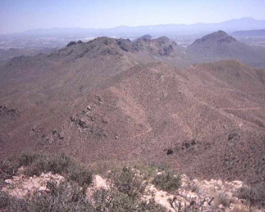
When you get to the summit, you'll have the expansive views you were expecting. To the north, you'll see some jeep roads, and the Picture Rocks, apparently named for the pictographs found within. To the west lies Avra Valley. To the east, you'll find the Santa Catalinas and Pusch Ridge. And to the south, a fine set of radio towers on a big hill, and bigger hills beyond. A sign at the trailhead warned of potentially rabid foxes and rats in the area, which are to be avoided. If you're looking, you can find large packrat nests in the washes. If they don't get you, the sun will. This hike could conceivably be done in the summer if you've built up immunity to heat exhaustion (bring a gallon of water), but there is no shade on the trail, so I don't recommend it. My tender white skin turned red in very little time.
Check out the Official Route and Triplogs. Leave No Trace and +Add a Triplog after your hike to support this local community. | |||||||||||||||||||||||||||||||||||||||||||||||||||||||||||||||||||||||||||||||||||||||||||||||||||||||||||||||||||||||||||||||||||||||||||||||||||||||||||||||||||||||||||||||||||||||


