 Route Editor

| Guide | ♦ | 6 Triplogs | 2 Topics |
details | drive | no permit | forecast | 🔥 route |
stats |
photos | triplogs | topics | location |
| 112 | 6 | 2 |
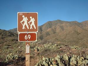
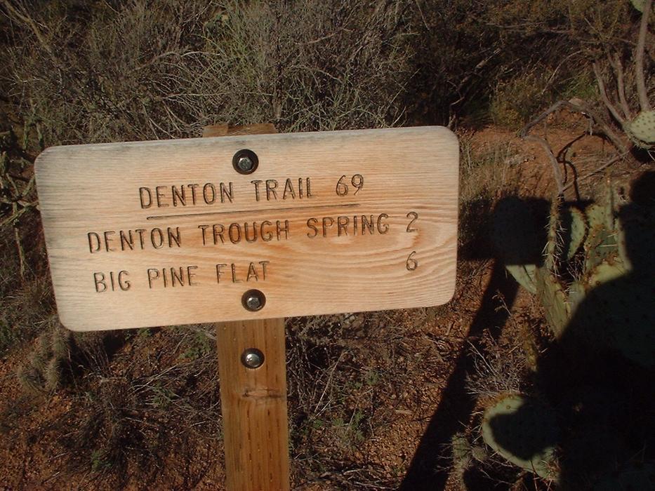
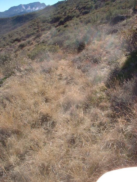
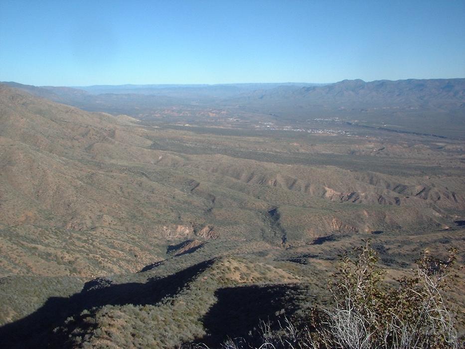
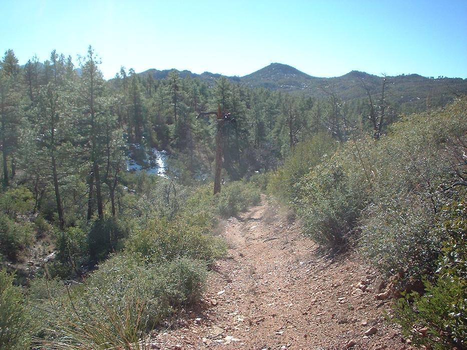
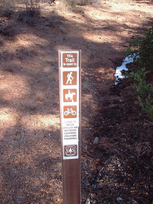
Reward is at the end by aaronhales   The Denton Trail serves as an excellent example of a transition trail going from the saguaro-studded lower elevations to a mature, lush ponderosa pine forest in the upper elevations - all in about 5 miles. That being said, I would say this trail is more of a destination hike than a scenic-along-the-way hike (the destination being an area called "Big Pine Flat." More about that later.) The Denton Trail serves as an excellent example of a transition trail going from the saguaro-studded lower elevations to a mature, lush ponderosa pine forest in the upper elevations - all in about 5 miles. That being said, I would say this trail is more of a destination hike than a scenic-along-the-way hike (the destination being an area called "Big Pine Flat." More about that later.)The trail officially starts at the end of FR 421. However, I had to start probably 2 miles before that due to most of FR 421 being a definite 4WD road. My Honda Accord has seen many places, but this was not going to be one of them! The beginning of the trail is marked and gives signage to destination points. For the most part, the trail has a steady climb with a couple of steep parts, but nothing too terrible. You can tell it is a seldom-used trail, but for the most part is not too hard to follow.
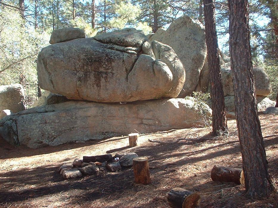
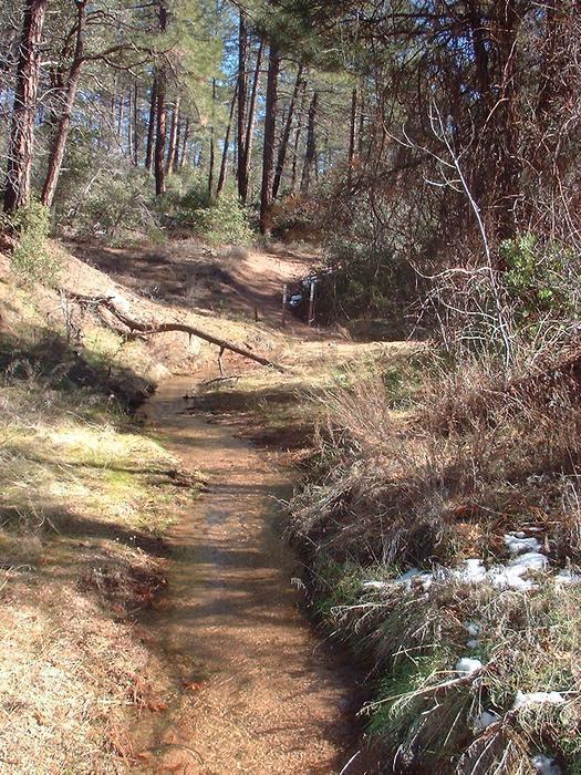
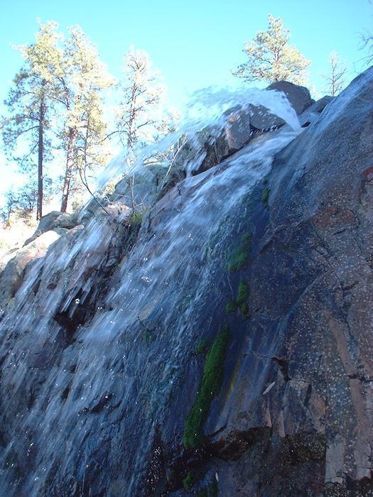
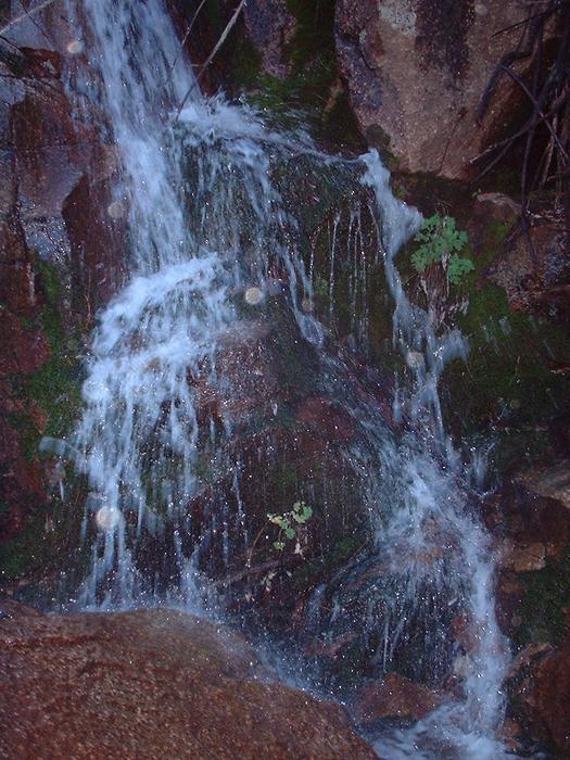
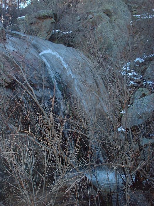
Eventually, the trail tops out around 5700 feet and begins a short 1/4 mile 300-foot descent into Big Pine Flat - an impressive forest of some towering ponderosa pines and seasonal streams. This is also the southern terminus of the trail as it meets up with FR 422a. This vicinity is quite scenic. There are some large boulders and few campsites scattered about (looks like a great place to camp). While I was there, snow was on the ground and was melting, creating a torrent of water in a couple of these unnamed streams which leads me to the best part about this place. If you follow the stream for about 100 feet, you will come across two successive and, shall I say, rather impressive waterfalls. The water was just gushing and shooting out from these falls. The first one was probably about 6 feet tall, but the second was probably close to 20 feet tall. Unfortunately, my camera did not do justice in my opinion to these falls, but these are the best pics I could come up with. After spending about 45 minutes up in this area, I decided to turn around and huff it back to my car, about 14 miles round-trip. Normally, I would rate this trail about a 2 or 3, but due to such a great destination, I'll be rating this trail a 4. Check out the Official Route and Triplogs. Leave No Trace and +Add a Triplog after your hike to support this local community. One-Way Notice This hike is listed as One-Way. When hiking several trails on a single "hike", log it with a generic name that describes the hike. Then link the trails traveled, check out the example. | |||||||||||||||||||||||||||||||||||||||||||||||||||||||||||||||||||||||||||||||||||||||||||||||||||||||||||||||||||||


