|
tap row or icons for details
|
| Difficulty |
|
4 of 5 |
| Distance |
|
12 miles |
| Trailhead Elevation |
|
3,840 feet |
| Elevation Gain |
|
2,950 feet |
| Kokopelli Seeds |
|
21.83 |
| Dogs not allowed |
| | |
|
|
10 |
2024-09-13 | fdv75 |
|
|
17 |
2014-08-02 | sagamihara_hiker |
|
|
21 |
2013-08-04 | sagamihara_hiker |
|
| |
|
|
list |
map |
done |
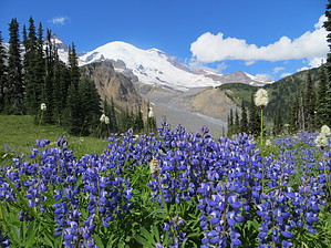
Volcano Region |
| | |
|
| |
|
|
Historical Weather |
| Trailhead Forecast | | |
|
 |
|
|
| Preferred Aug, Jul, Sep, Jun |
|
|
| | |
Named Locations Coordinate Links
| |
|
| Panhandle Gap Trail
|
16.38 mi
4,078 ft |
|
|
|
Panhandle Gap Trail
|
15.22 mi
4,158 ft |
 |
| Panhandle Gap Trail
| 2014-08-02 |
sagamihara_hiker |
|
9.85 mi
2,593 ft |
|
|
| Panhandle Gap Trail
| 2013-08-04 |
sagamihara_hiker |
|
11.37 mi
2,978 ft |
|
|
| | |
| |
|
|
 Happy Trails!
Check out the Triplogs. NoteThis is a moderately difficult hike. |
 Route Editor