| San Gorgonio Mountain |
| San Gorgonio Mountain, California - San Bernardino County | Summit |
|
|||||||||||||||||||||||||||||
at 11,503 feet elevation |
|||||||||||||||||||||||||||||
| .: John9L :. | |
 |
|
San Gorgonio via South Fork | |
| .: John9L :. | |
 |
|
San Gorgonio via South Fork | |
| .: chumley :. | |
 |
|
Black Mountain 7772 | |
| .: chumley :. | |
 |
|
San Jacinto via Fuller Ridge | |
| .: chumley :. | |
 |
|
San Jacinto via Fuller Ridge | |
| .: chumley :. | |
 |
|
San Gorgonio via South Fork | |
| .: chumley :. | |
 |
|
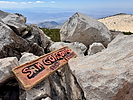
San Gorgonio via South Fork | |
| .: chumley :. | |
 |
|
San Gorgonio via South Fork | |
| .: chumley :. | |
 |
|
San Gorgonio via South Fork | |
| .: DixieFlyer :. | |
 |
|
Butler Peak and Delamar Mountain | |
| .: DixieFlyer :. | |
 |
|
Butler Peak and Delamar Mountain | |
| .: DixieFlyer :. | |
 |
|
Butler Peak and Delamar Mountain | |
| .: DixieFlyer :. | |
 |
|
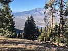
Micro - South Fork - Thomas | |
| .: DixieFlyer :. | |
 |
|
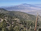
Toro Peak | |
| .: DixieFlyer :. | |
 |
|
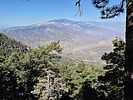
Toro Peak | |
| .: John10s :. | |
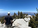 |
|
Cactus to Clouds | |
| .: PatrickL :. | |
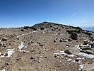 |
|
Vivian Creek Trail | |
| .: PatrickL :. | |
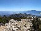 |
|
Vivian Creek Trail | |
| page 1, 2, 3, 4 |
|
|
|
|

| Information on this page has been gathered from member submissions. Effort has been made to avoid any infringement of copyright. Additionally, any use is anticipated to be within the "fair use" doctrine. If any copyright has been infringed, please notify the webmaster. The disputed information will be removed and your issue will be resolved. If you are a submitting member, please inform and discuss with HAZ if you think you are submitting any copyright issue. Please help us stay with the law. |