

|
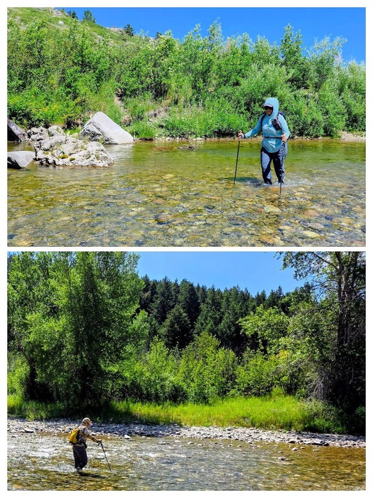
Belt Creek can be crossed eleven times to the end of the trail. We crossed three times and then the girls crossed back. It was about as wide and deep each crossing.
Belt Creek (Gros Ventre: kɔyɔ́ɔteihíniicááh, lit. 'belt river') is a tributary, approximately 80 mi (129 km) long, of the Missouri River in western Montana.
It originates in the Lewis and Clark National Forest north of Big Baldy Mountain, in the Little Belt Mountains in western Judith Basin County. It flows northwest through mountainous canyons (Limestone Canyon) past Monarch, through Sluice Boxes State Park, and flows through Armington and Belt. It finally joins the Missouri approximately 15 mi (25 km) northwest of Great Falls of the Missouri and 2 miles (3 km) downstream of Morony Dam. WE WOULD SEE IT TOMORROW ON OUR DAM DAY.