

|
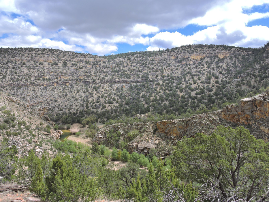
Looking down on the location where the official HAZ gps track for trail #45 ends in the canyon bottom. Maps show the trail continuing up the other side of the canyon. My best guess is that it goes up a draw from left to right from the area tagged as trail end in this photo.