

|
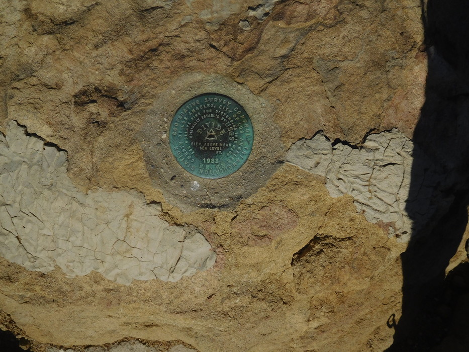
Survey marker at the top of Temescal Peak. 1933 feet above sea level, most of which I climbed on this hike.
Edit: Correction - 1933 was the year that this marker was placed, not the altitude! Actual altitude according to marker datasheet is 2129 feet above sea level.
Datasheet for marker: https://www.ngs.noaa.gov/cgi-bin/ds_mar ... Box=EW7422
Edit: Correction - 1933 was the year that this marker was placed, not the altitude! Actual altitude according to marker datasheet is 2129 feet above sea level.
Datasheet for marker: https://www.ngs.noaa.gov/cgi-bin/ds_mar ... Box=EW7422