

|
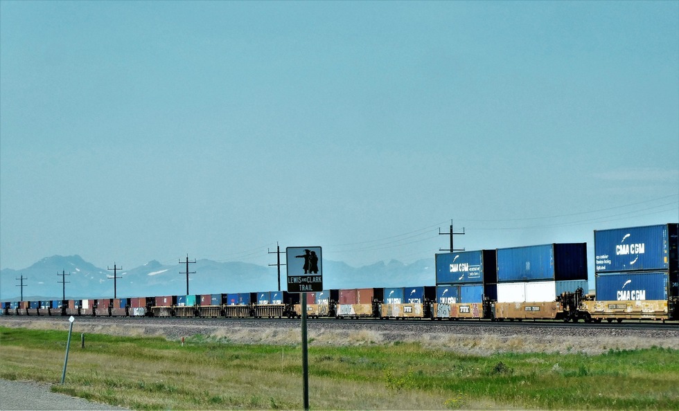
And as I mentioned in a previous photo, there are Lewis and Clark signs along US Highway 2 which just happens to follow a lot of the route of those great explorers from April 29, 1805- August 12, 1805 and again from the beginning of April 1905 – end of August.. The Lewis and Clark route covered more miles in Montana than any other state. They wore out a pair of moccasins every two days.
By the time the expedition reached what is now Montana (April 27, 1805), it had logged more than 1900 river miles. The expedition exited Montana on September 13, 1805 at Lolo Pass and re-entered Montana at that same pass on June 29, 1806. By August 3, 1806 Clark had reached Montana's eastern border.
By the time the expedition reached what is now Montana (April 27, 1805), it had logged more than 1900 river miles. The expedition exited Montana on September 13, 1805 at Lolo Pass and re-entered Montana at that same pass on June 29, 1806. By August 3, 1806 Clark had reached Montana's eastern border.