 Route Editor

| Guide | ♦ | 26 Triplogs | 1 Topic |
details | drive | no permit | forecast | 🔥 route |
stats |
photos | triplogs | topic | location |
| 282 | 26 | 1 |
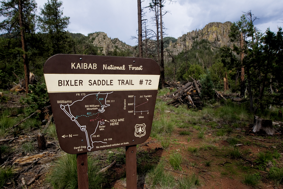
Knarly Oaks by joebartels   2010 Note 2010 NoteAccess to the trailhead at Bixler Saddle by vehicle is no longer permitted due to the closure of Forest Road 45 in the 2010 Travel Management Rule. To reach this trailhead now requires hiking the old 45 road for 2.8 miles from the junction of FR 9217E (Old Route 66 - open to vehicles) and FR9223 (closed to vehicles). Alternately you can hike FR9223 (closed) from FR108 (open), which is about half a mile longer but sedan accessible. In addition to the additional hiking miles, the elevation gain between the end of the open road and Bixler Saddle is about 1,100 feet. Overview 1.95 mi on trail Bixler Trail #72. Optional 0.85 mi to Bill Williams Summit & Lookout Tower.
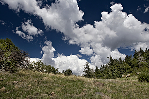
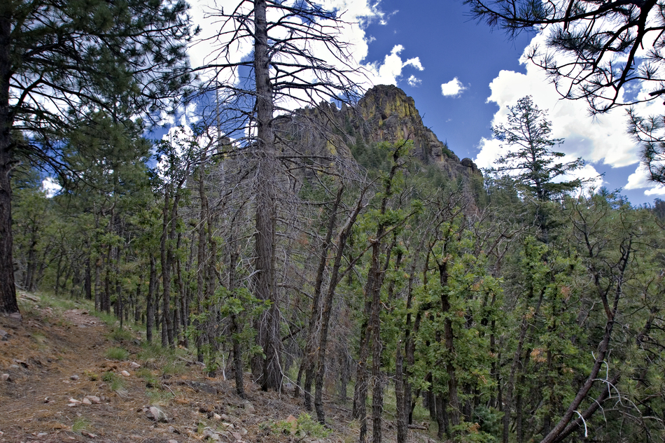
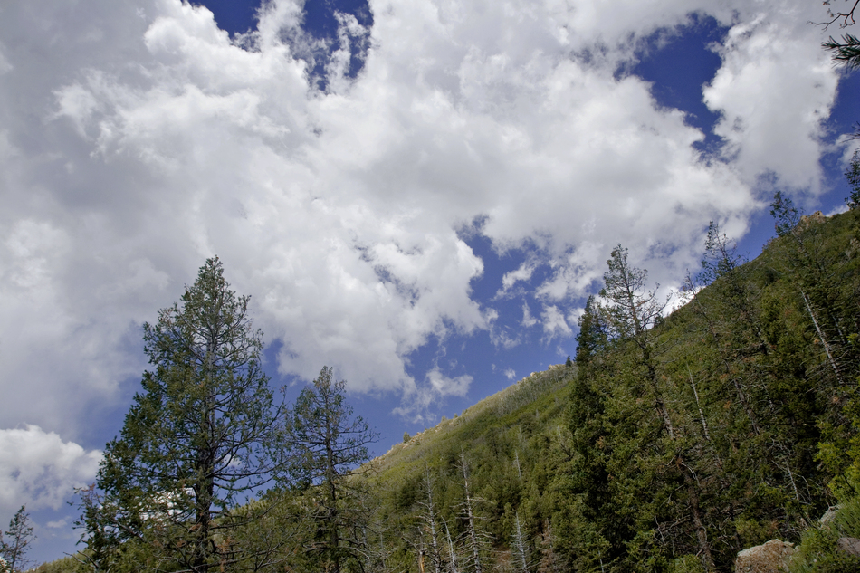
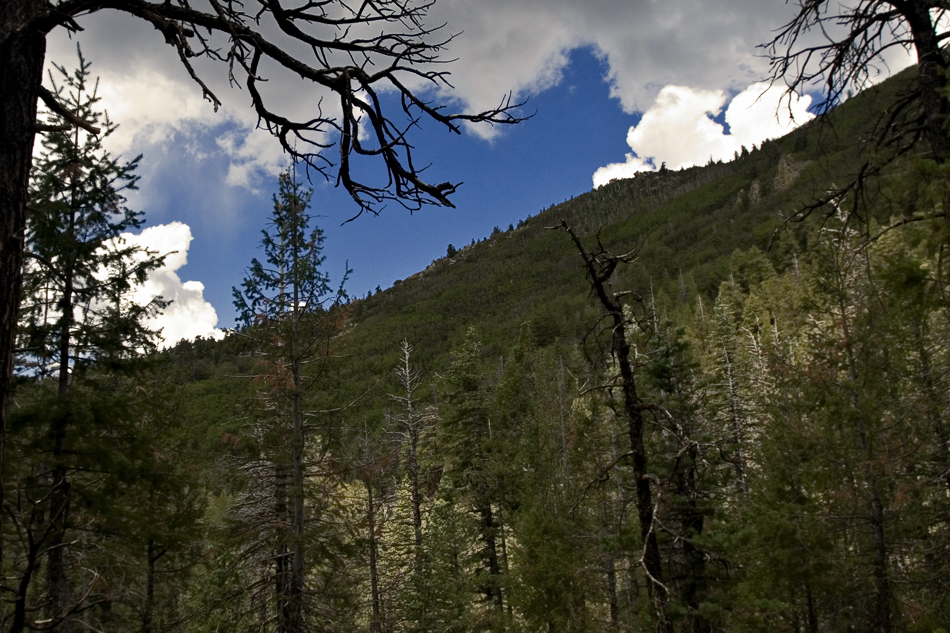
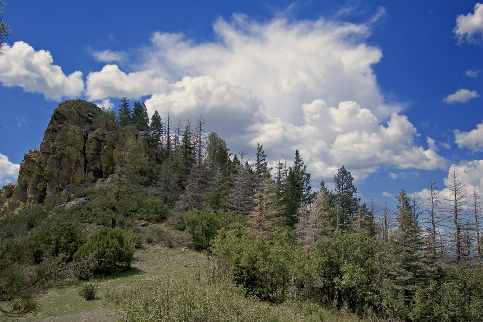
The adequate trailhead flaunts eye-candy views looking up. Most notably is an alluring lichened outcrop. If you look up and beyond, you can see the communication and lookout towers atop the destination. These are only viewable from the trailhead; in a couple of steps, they go out of view until you summit. Be sure to check out the map before heading out. As expected describes the first quarter-mile best. Things soon change. That big outcrop is passed and more or less conquered in no time. Doing so, the forest changes to oaks filled with aspen. Everything appeared healthy, but the aspens only seem to have leaves at the top. Further in the scenery turns to the most incredible oak forest I've seen in Arizona. If you're lucky enough to be here during peak Autumn season, you'd probably melt in ecstasy. The trail immaculately cuts across the steep mountain slopes in unimaginable terrain. This is an easy hike that would be nearly impossible without the trail. The switchbacks are lazy and designed for backpackers. I spotted out plenty of sweet camp spots at a couple of turns. However, no water is available along the trail, and it's too short to backpack. The first big switchback takes you to a saddle at 1.2 mi, 555ft gain. There is an outcrop here too if you wish to explore. The next 350 ft gain over 0.85 mi takes you over like terrain to the junction with Bill Williams Trail #21. Just before the junction, you cross a saddle and switch into a whole new world. The oaks are immediately gone, and you've practically entered a rain forest. Huge pines are covered in hobbit moss. It's 0.85mi and a 590 ft gain to the top. The lazy switchbacks give way to gut-wrenching switchbacks. It's all cool; you're fired up, life is good... then in a mere five minutes, you come to a (ugh... sigh...)road. It's a half-mile to Bill Williams L.O.(Look Out). Not so bad, right. Well, if you can overlook the POWER lines and enough communication equipment for a small country... I guess(not!).
Kaibab FS Details This trail starts at Bixler Saddle, at an elevation of 7,700 feet, on the west side of Bill Williams Mountain. From that point, it climbs through stands of ponderosa pine, Gambel oak, Douglas fir, white fir and aspen to a junction with the Bill Williams Trail at an elevation of 8,740 feet. The trail wanders among some majestic rock formations as it traverses the west slope of Bill Williams Mountain and provides good views of the forested slopes and the broad grasslands to the west and south. There is no water available along the trail but cool summer temperatures make this an enjoyable hike. Trail Layout: This is a short day hike or it can be combined as a side trip from the Bill Williams Trail. If arrangements are made ahead of time, someone can meet hikers at the Bill Williams or Benham trailheads for a one way trip. Length: 2.0 miles one-way Hiking Time: About 2.5 to 3 hours round trip. Rating: Moderate Trailhead Location: Bixler Saddle Trailhead is located at 7,700 feet (2415M), just off Bixler Saddle Road. Recommended Season: Late spring to early fall. Use Restrictions: No motorized vehicles. USGS Map(s): Bill Williams Mountain. Since this is a new trail, it will not be shown on most maps. Check out the Official Route and Triplogs. Leave No Trace and +Add a Triplog after your hike to support this local community. | ||||||||||||||||||||||||||||||||||||||||||||||||||||||||||||||||||||||||||||||||||||||||||||||||||||||||||||||||||||||||||||||||||||||||||||||||||||||||||||||||||||||||||||||||||||||||||||||||||||


