 Route Editor

| Guide | ♦ | 108 Triplogs | 4 Topics |
details | drive | no permit | forecast | 🔥 route |
stats |
photos | triplogs | topics | location |
| 1.7k | 108 | 4 |
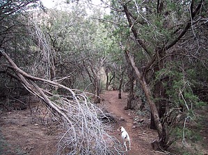
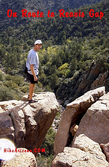
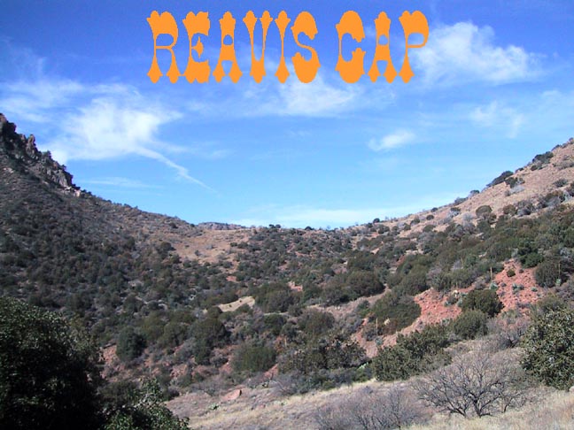
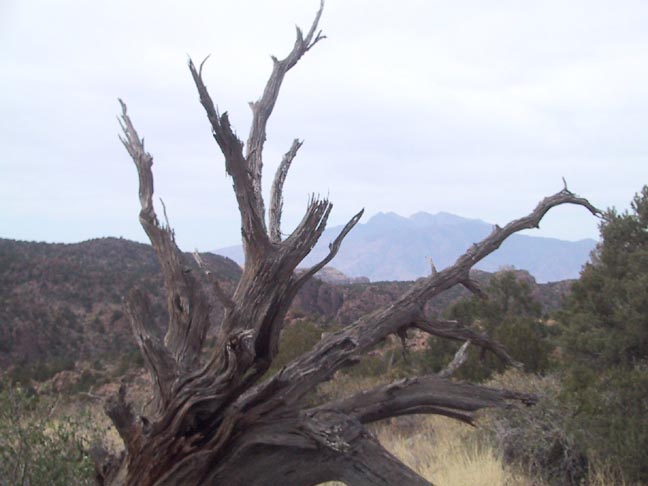
Rugged Peace - Rocky Rd to Reavis by Fritzski   This out & back hike (14mi / 3030 aeg) from the far eastern edge of the Superstition Wilderness into Reavis Ranch starts from the Campaign Trailhead (formerly Upper Horrell). It starts on the Campaign Trail for a short distance then follows the Reavis Gap Trail into Reavis Ranch. Although not the longest of the three routes into the Ranch, it may well be the most difficult. In addition to being predominately "up and down" with scarcely few flat sections, the trail is also inordinately rocky. This out & back hike (14mi / 3030 aeg) from the far eastern edge of the Superstition Wilderness into Reavis Ranch starts from the Campaign Trailhead (formerly Upper Horrell). It starts on the Campaign Trail for a short distance then follows the Reavis Gap Trail into Reavis Ranch. Although not the longest of the three routes into the Ranch, it may well be the most difficult. In addition to being predominately "up and down" with scarcely few flat sections, the trail is also inordinately rocky.From the parking area continue southwest about 0.2mi on the dirt road till you come to the signed start of the Campaign Trail #256. The trail climbs the northwest side of Campaign Creek and offers some nice views of the "Reavis Mountain School" as you pass above it on your way back down to the creek bed. As you continue toward the Reavis Gap Trail intersection at 1.2mi you'll cross the vigorously flowing creek numerous times. It may be noted that during this driest of years, the lower section of this creek was flowing much more than Reavis Creek itself.
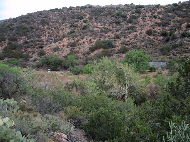
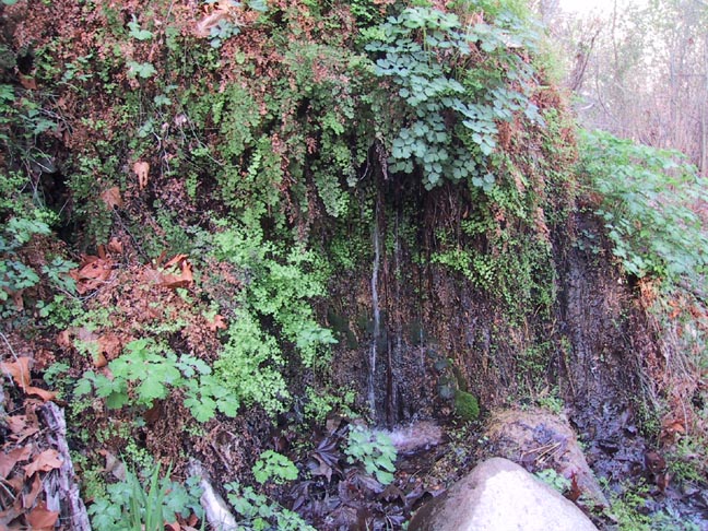
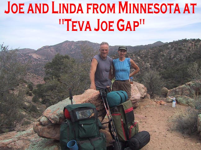
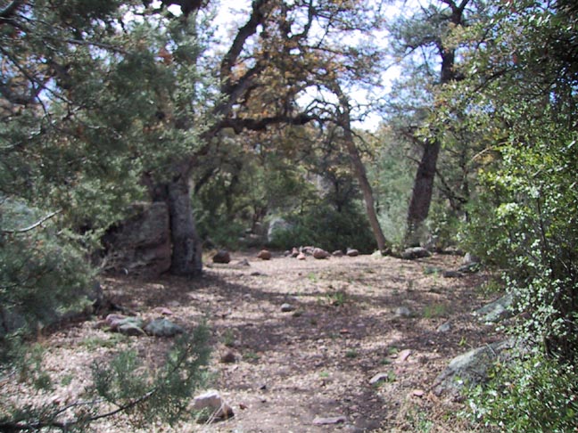
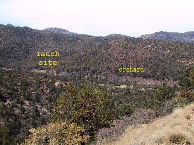
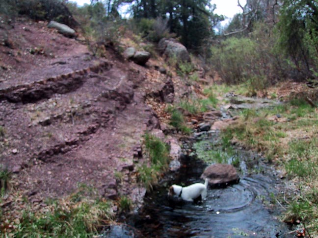
At about the two-mile point you will come to "Teva Joe Gap", an overlook which is a natural resting spot, and one chosen by the only other folks I saw all day. The climb continues unabated to the Gap and the nearby intersection with the Two Bar Ridge Trail (3.4mi). The grassy, open expanse of this area is very serene and one of the only relaxing sections of the hike. From here there are some nice views north down to the Salt River Canyon in the area of Roosevelt Dam and also out to Four Peaks. The climb continues a bit further till you finally descend into the Pine Creek drainage and cross it at 4.2mi. This spot has some nice shady campsites and water, although it was not flowing well. I call these "doggy pools" - he'll drink it, I won't. Hiking downstream in Pine Creek looked very tempting. Maybe a loop with the Two Bar trail for another day. Continuing, the climb begins anew. This second push is a real grinder to the high point of the hike, which is a saddle east of Boulder Mountain at 5.5mi and 5350' elevation. From here it's all downhill to the Ranch with some great views of the valley below along the way. Once at the floor of the valley you'll cross Reavis Creek and enter the meadow at the north end of the orchard. Straight across is the Reavis Ranch Trail intersection at 6.8 miles. From here it's only a short walk of about 0.4 miles south to the old ranch site itself. For more information and photos of the ranch and its surroundings reference the Reavis Ranch via 109 South hike in the HAZ TrailDex. Enjoy a nice lunch break or overnight in this scenic valley, and then when you're ready to return just reverse the route. This was a nice hike, but when I return someday for another day hike to the Ranch, the route from Rogers Trough trailhead via Reavis Ranch Trail is not only much closer to the valley but also much less strenuous and significantly more scenic. On the other hand, the Campaign Trail caught my eye and is now on my "shortlist" and as I mentioned above exploration of the Pine Creek drainage looked promising. "Do one hike, and find two more you want to do". No wonder my "list" never seems to get any smaller - that's a good thing! :) Check out the Official Route and Triplogs. Leave No Trace and +Add a Triplog after your hike to support this local community. One-Way Notice This hike is listed as One-Way. When hiking several trails on a single "hike", log it with a generic name that describes the hike. Then link the trails traveled, check out the example. | |||||||||||||||||||||||||||||||||||||||||||||||||||||||||||||||||||||||||||||||||||||||||||||||||||||||||||||||||||||||||||||||||||||||||||||||||||||||||||||||||||||||||||||||||||||||||||||||||||||||||||||


