 Route Editor

| Guide | ♦ | 26 Triplogs | 1 Topic |
details | drive | permit | forecast | route |
stats |
photos | triplogs | topic | location |
| 119 | 26 | 1 |
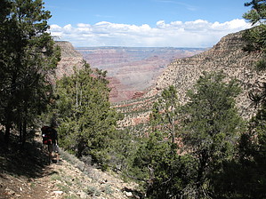
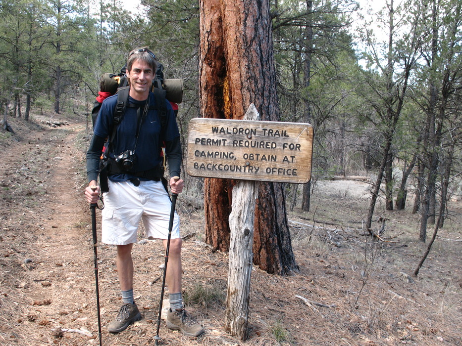
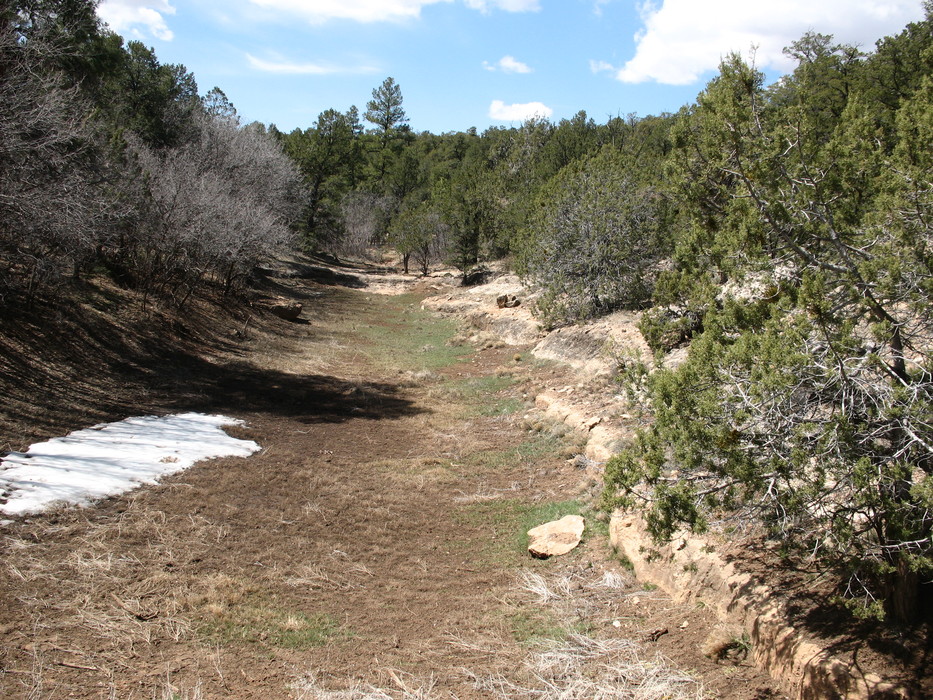
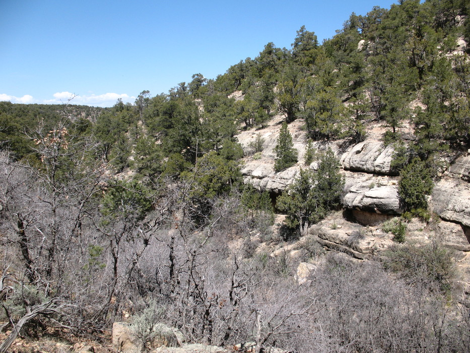
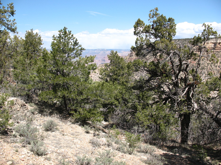
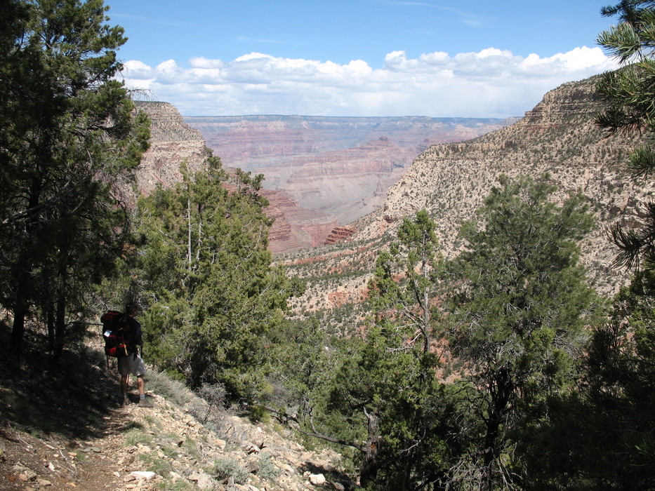
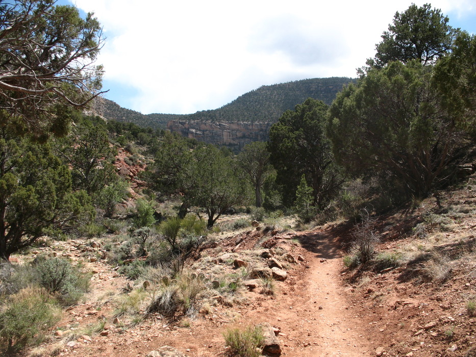
Where's Waldron? by Mick   Waldron trail is an alternative route down to the Hermit basin from the South Rim of the Canyon just west of the village. Due to construction on the west rim road in 2008, which was limiting access to Hermit's Rest, the Park Service recommended using Waldron to link up with the Hermit trail within the canyon. Take Rowe Wells road that leads west from the village to the trailhead following the railway line to Williams for about 2 miles; the first 1/2 mile is paved. The Park Service recommends parking at a picnic spot near Rowe Wells due to clearance issues for cars. It means a hike of 2.75miles to the actual Waldron trailhead on forest roads. The Park Service had placed little orange flags at forest road junctions to help guide you to the trailhead. Waldron trail is an alternative route down to the Hermit basin from the South Rim of the Canyon just west of the village. Due to construction on the west rim road in 2008, which was limiting access to Hermit's Rest, the Park Service recommended using Waldron to link up with the Hermit trail within the canyon. Take Rowe Wells road that leads west from the village to the trailhead following the railway line to Williams for about 2 miles; the first 1/2 mile is paved. The Park Service recommends parking at a picnic spot near Rowe Wells due to clearance issues for cars. It means a hike of 2.75miles to the actual Waldron trailhead on forest roads. The Park Service had placed little orange flags at forest road junctions to help guide you to the trailhead.From the trailhead you head north through ponderosa pines to the left of Horsethief Tank staying on the side of the drainage as it turns to the west after about 1/4 mile. The trail goes westerly for nearly 1/4 mile with the drainage down to your right before gradually heading north. Another 1/4 mile and you head down into the gully and up the other side, which is the crest of the canyon at about 6350 feet. From here, you start your descent through gravelly switchbacks down the Kaibab layers and through junipers and pinon pines. After descending 800 feet in 1/2 mile through Toroweap and Coconino rock layers, you are in the Hemit basin and the trail levels out. Another 1/2 mile, and you come to the signed junction with Hermit trail at 5400 feet. Check out the Official Route and Triplogs. Leave No Trace and +Add a Triplog after your hike to support this local community. One-Way Notice This hike is listed as One-Way. When hiking several trails on a single "hike", log it with a generic name that describes the hike. Then link the trails traveled, check out the example. | ||||||||||||||||||||||||||||||||||||||||||||||||||||||||||||||||||||||||||||||||||||||||||||||||||||||||||||||||||||||||||||||||||||||||||||||||||||||||||||||||||||||||||||||||||||||||||||||||||||||||||


