 Route Editor

| Guide | ♦ | 115 Triplogs | 1 Topic |
details | drive | no permit | forecast | 🔥 route |
stats |
photos | triplogs | topic | location |
| 756 | 115 | 1 |
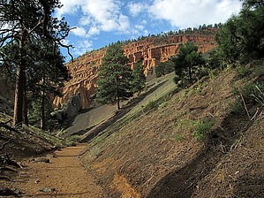
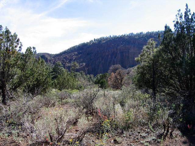
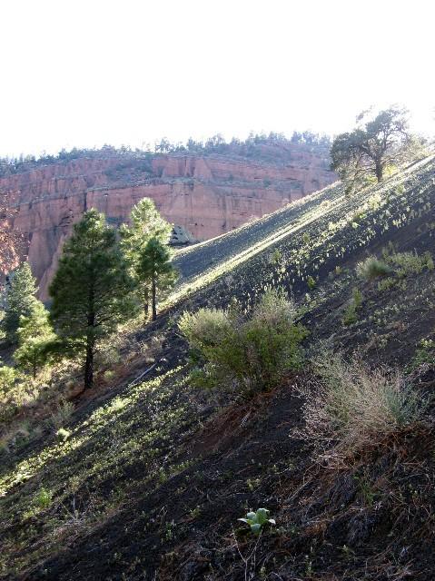
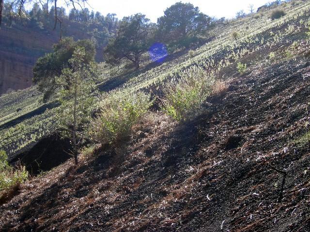
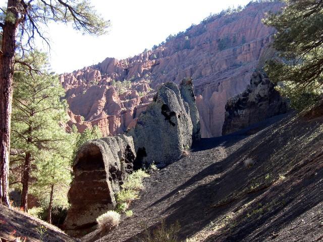
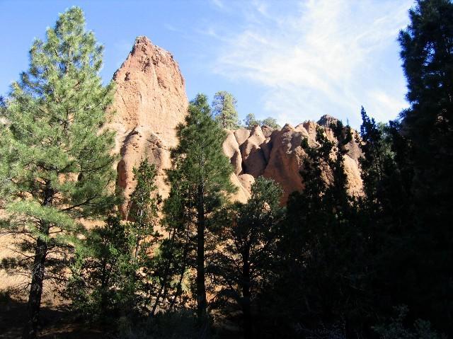
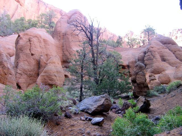
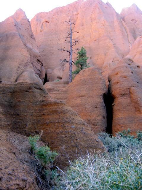
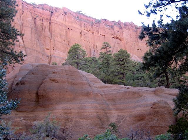
Into the heart of a volcano by desertgirl  Into the heart of a 740,000-year-old volcano....a fascinating look at the geology of AZ. Into the heart of a 740,000-year-old volcano....a fascinating look at the geology of AZ.This is quite an easy hike/walk in the Flagstaff area. It has been one that I have often wanted to stop by on my many trips back and forth from the Grand Canyon but never quite did until now... The trailhead is at Milepost 247 along Highway 180 -- well signed. Turn left onto this good dirt road that will end at the developed trailhead a short distance from the turnoff. There is a parking area right at the turnoff but proceed further to the developed trailhead.
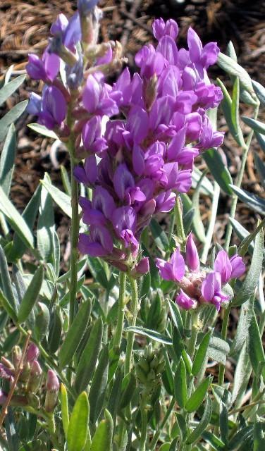
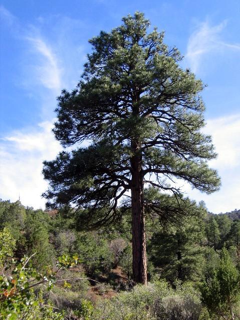
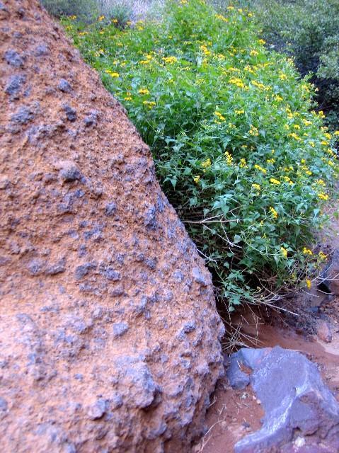
You come upon some black lava formations that act as a gate to the place. You will soon reach a 6 ft high silted-up check dam over which a ladder has been built to allow access to the inner area. The optional route is a scramble up the cinder shoulder to the right and between the "gates" and down the other side. If you are hiking with dogs, this is your route. Once you reach the top, you will have to navigate a short section of exposure and somewhat slippery footing to gain access to the area where you can descend to the inner areas. Once inside the trail heads a short way in and then you are off exploring among the spires, pillars, and pinnacles. The predominant color is earthy reds punctuated by mustard and black. This is the heart of a million-year-old volcano, and the volcanic tuff has been sculpted into various shapes. You can follow any number of avenues to explore the area. The area has re-vegetated, and you will find pondererosa pines growing out of the tuff. I chose to follow the stream bed back into the curving tuff formations following a trail of a variety of bushes and flowering plants supported by the stream. Interesting formations were at every bend, and the rocks were beautifully sculpted... Looking up at the horizon, you could see the spires extend all the way up to the ponderosa-clad ridgeline. Birds were nesting in hollows along the sheer wall -- marked by splotches of white bird droppings were their favored perches. Light plays hide and seek among the spires and hoodoos, and so can you. Be watchful as you scramble up these formations -- most are a lot easier going up than down! After a bit of exploring, we returned by way of the cinder hill exit and were quickly back to the trailhead. On the return trip you are treated to some expansive vistas of the Flagstaff mountains. Note: Water is not available along this trail. Gate Policy: If a gate is closed upon arrival, leave it closed after you go through. If it is open, leave it open. Leaving a closed gate open may put cattle in danger. Closing an open gate may cut them off from water. Please be respectful, leave gates as found. The exception is signage on the gate directing you otherwise.
Check out the Official Route and Triplogs. Leave No Trace and +Add a Triplog after your hike to support this local community. | |||||||||||||||||||||||||||||||||||||||||||||||||||||||||||||||||||||||||||||||||||||||||||||||||||||||||||||||||||||||||||||||||||||||||||||||||||||||||||||||||||||||||||||||||||||||||||||||||||||||||||||


