 Route Editor

| Guide | ♦ | 9 Triplogs | 0 Topics |
details | drive | no permit | forecast | map |
stats |
photos | triplogs | topics | location |
| 25 | 9 | 0 |
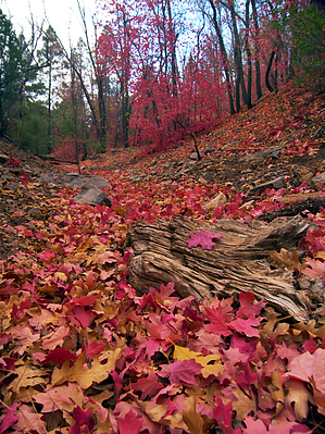
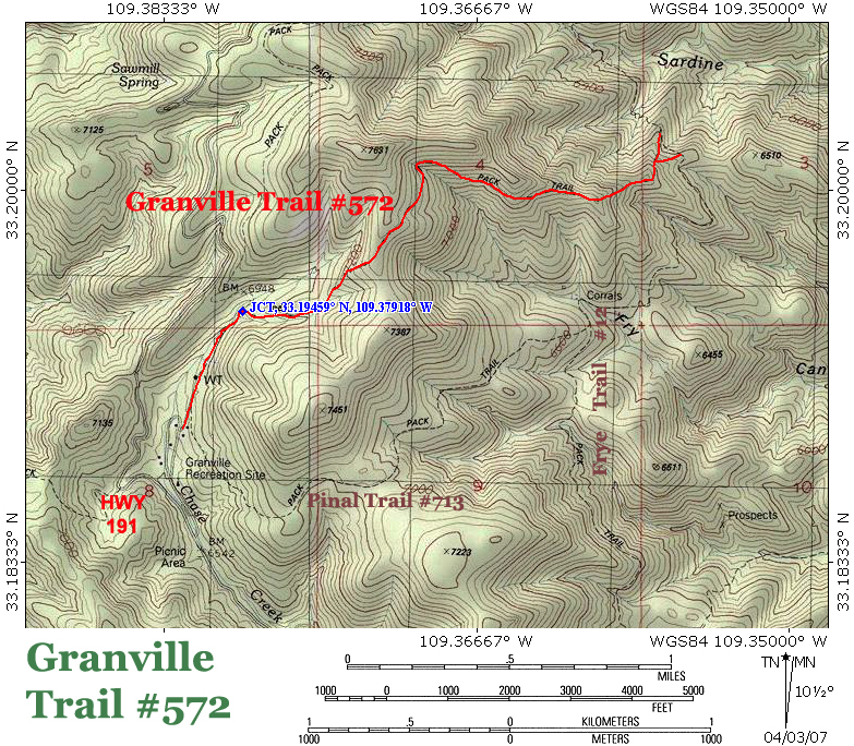
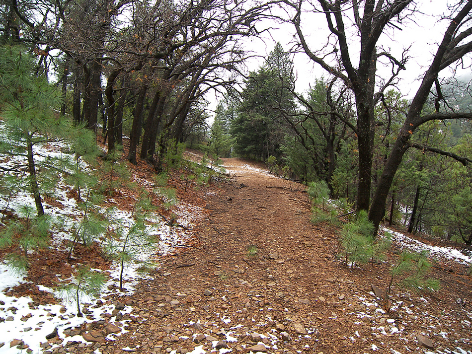
side trail on the Coronado Trail by PrestonSands   The Granville Trail is a connector trail that runs from the Granville Campground to Frye Trail #12, in the mountains north of Clifton, Arizona. Remote, unsigned, and overgrown, this trail offers a challenge in route-finding, but it rewards hikers with solitude and views of the unspoiled mountain country of eastern Arizona. There are no trail signs on this hike; only blaze marks in the trees and occasional cairns mark the route. The Granville Trail is a connector trail that runs from the Granville Campground to Frye Trail #12, in the mountains north of Clifton, Arizona. Remote, unsigned, and overgrown, this trail offers a challenge in route-finding, but it rewards hikers with solitude and views of the unspoiled mountain country of eastern Arizona. There are no trail signs on this hike; only blaze marks in the trees and occasional cairns mark the route.The trail begins at the Granville Campground, which was the site of an early logging camp and summer retreat known as Granville. The logging operation here supplied the copper mines of the Clifton and Metcalf areas with lumber. The only structures remaining in Granville are the more recently built forest service cabins.
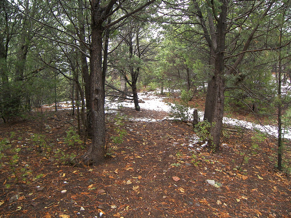
At around 0.4 miles (33.19459 N, 109.37918 W), there will be a little side drainage taking off to the right, near some bigtooth maple trees. If you look carefully, you will see an old blaze mark cut into an alligator juniper tree on each side of a faint path that heads up the left side of the little side drainage. Begin following the path east as it climbs up the fir, maple, and ponderosa-filled side drainage. There is a cairn at 0.65 miles; stay left. At about 0.75 miles, the Granville Trail climbs atop a little mound on the north side of the drainage and begins a steep climb up a brushy hillside. A closer examination of the loose, gray limestone rock in the trail reveals thousands of tiny, donut-shaped crinoid fossils as the trail nears the top of the hillside. The Granville Trail soon reaches its high point in a saddle at 7330 feet. From the saddle, the trail descends along the brushy, south-facing slopes of an unnamed 7600-foot mountain. Occasional gaps in the brush reveal forested Frye Canyon below and pyramid-shaped Walker Butte in the distance. Behind them, endless series of canyons and mountain ranges stretch to the horizon. The trail continues to descend as it rounds a rocky butte above Frye Canyon. After the butte, the trail winds up on a ridge that divides Sardine Creek and Frye Canyon and makes a half-mile descent to the Frye Trail #12. The Granville Trail comes to an end here, but options for a loop hike exist. You can return via the Pinal Trail #713 by heading south on the Frye Trail or return via the H.L. Canyon Trail #11 by heading north on the Frye Trail. Whatever you do, you probably won't see anyone else! Check out the Triplogs. Leave No Trace and +Add a Triplog after your hike to support this local community. | |||||||||||||||||||||||||||||||||||||||||||||||||||||||||||||||||||||||||||||||||||


