 Route Editor

| Guide | ♦ | 2 Triplogs | 2 Topics |
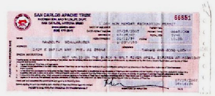
details | drive | permit | forecast | map |
stats |
photos | triplogs | topics | location |
| 30 | 2 | 2 |
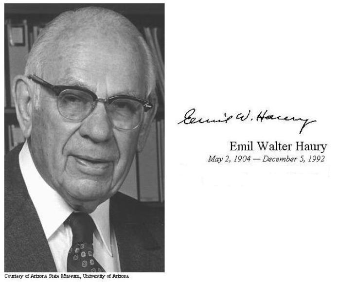
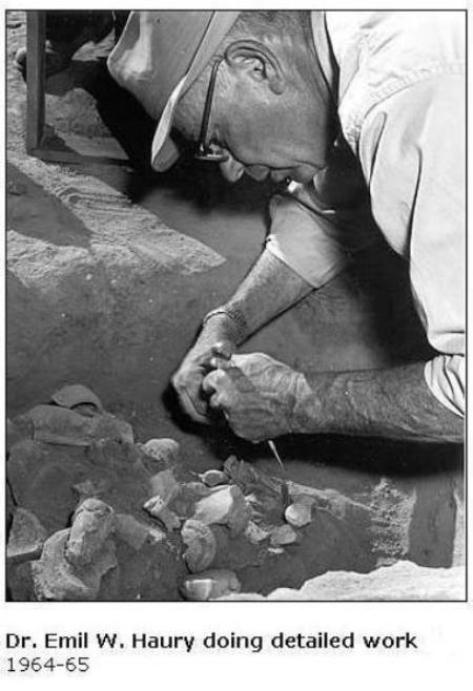
6 degrees of separation by Randal_Schulhauser   Some History Some HistoryDr. Emil W. Haury continued the Arizona archaeology legacy established by Dr. Byron Cummings (see HAZ hike description Kinishba Ruins) by accepting the University of Arizona Department Head of Archeology in 1937 replacing Dr. Cummings. Dr. Haury had already established his reputation as an expert in dendrochronology, a technique of tree-ring dating he learned from Dr. Andrew E. Douglass (see HAZ hike description Mars Hill via Lowell Observatory). He leveraged this method during his years at the Gila Pueblo Project (see HAZ hike description Besh-Ba-Gowah to Gila Pueblo in the early 1930s establishing construction dates for many of my favorite cliff dwellings located in the Sierra Anchas (see HAZ hike description Cooper Forks Canyon Cliff Dwellings). As a Department Head at the University of Arizona, Dr. Haury set out to establish a world-renown doctorate and undergraduate program. His teaching philosophy leveraged a fundamental foundation of field experience but found this a contradiction while lecturing his students in Tucson. One of his initiatives was to establish an Archaeology Field School at Point-of-Pines beginning in 1946. This provided a year-round opportunity to enhance his student's field experience. This field school operated until 1960.
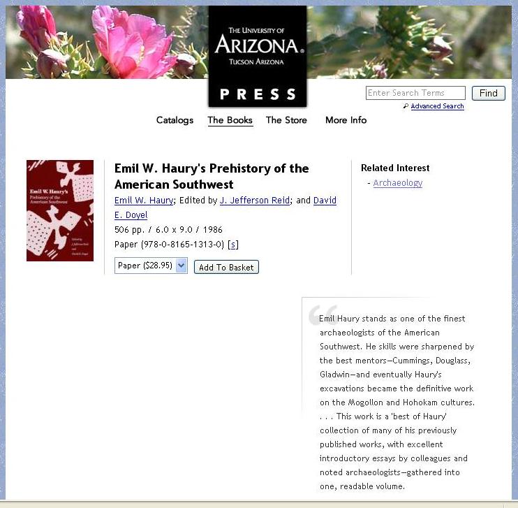
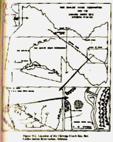
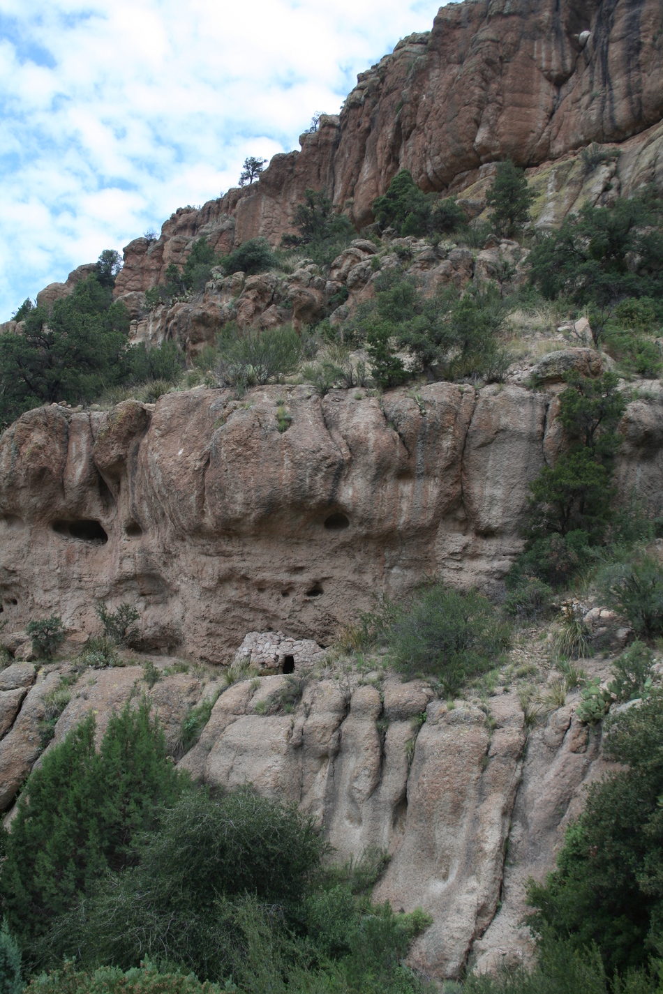
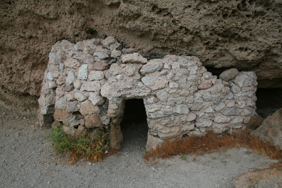
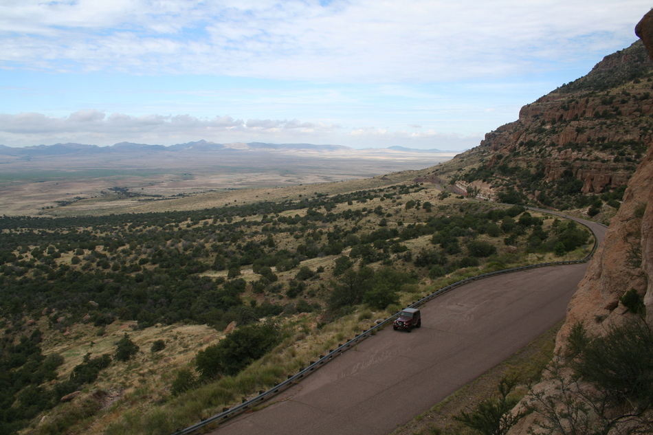
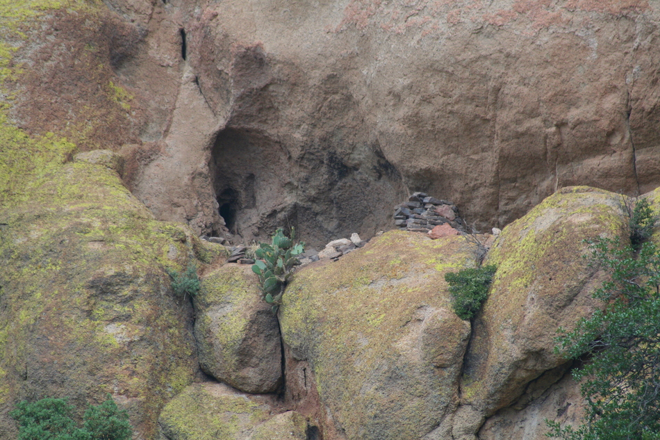
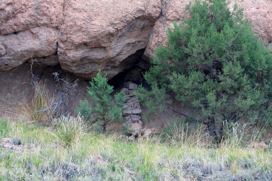
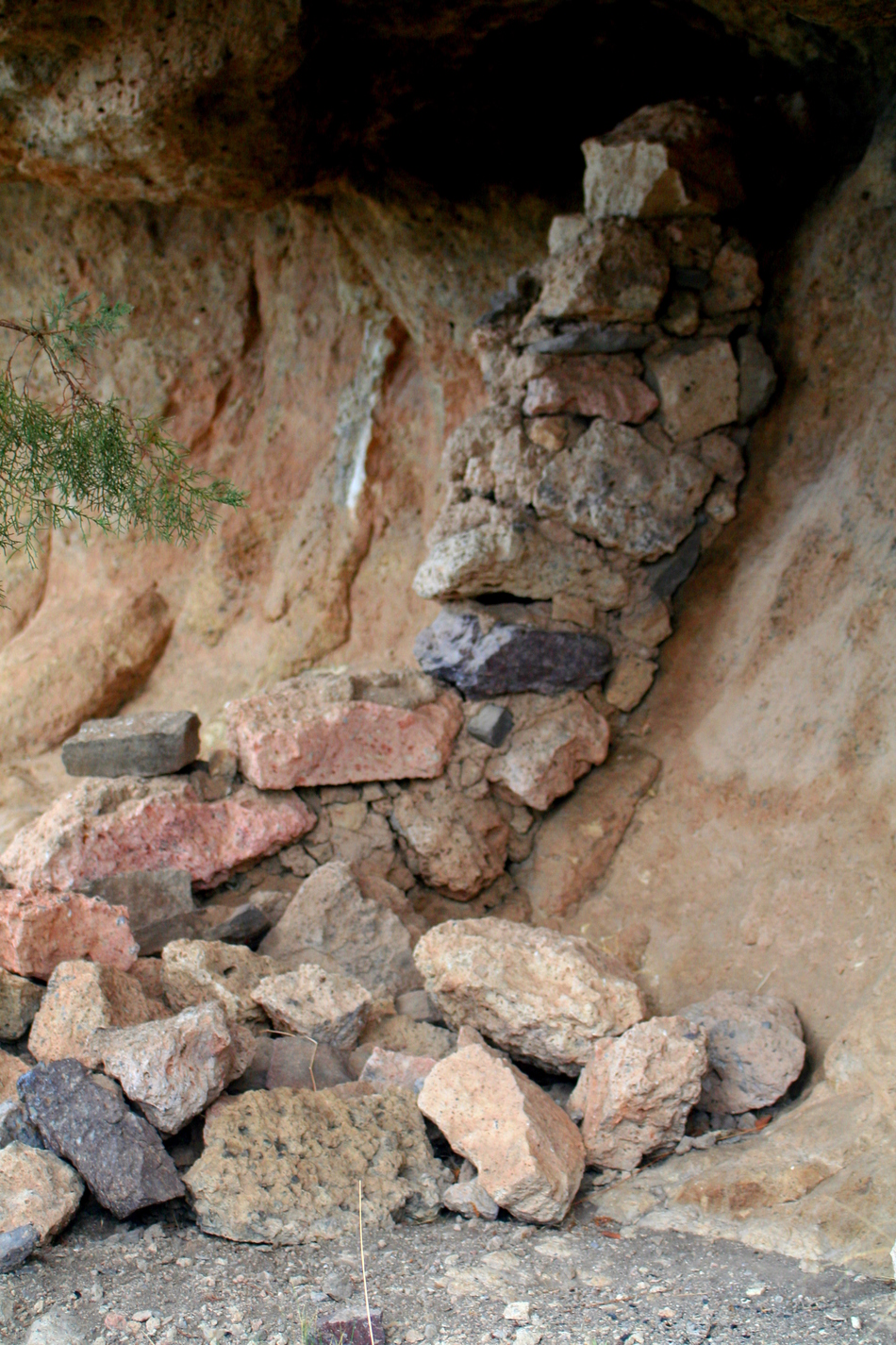
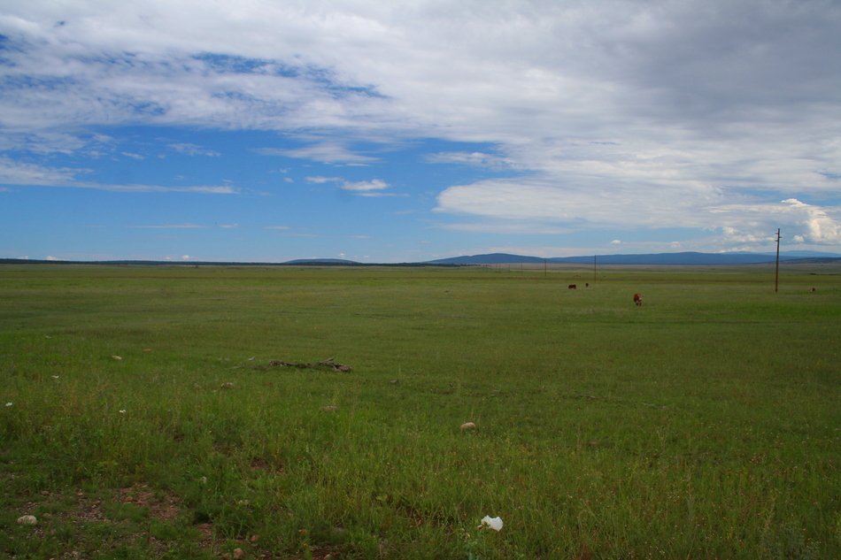
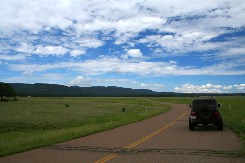
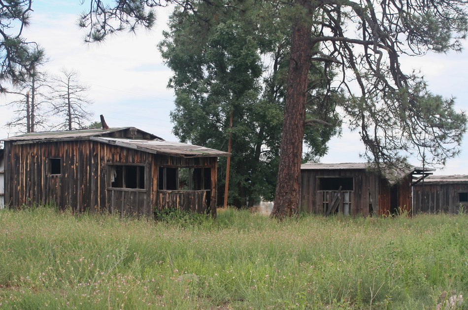
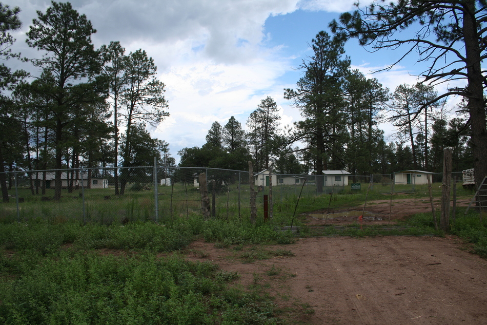
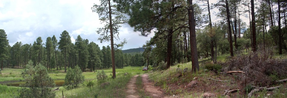
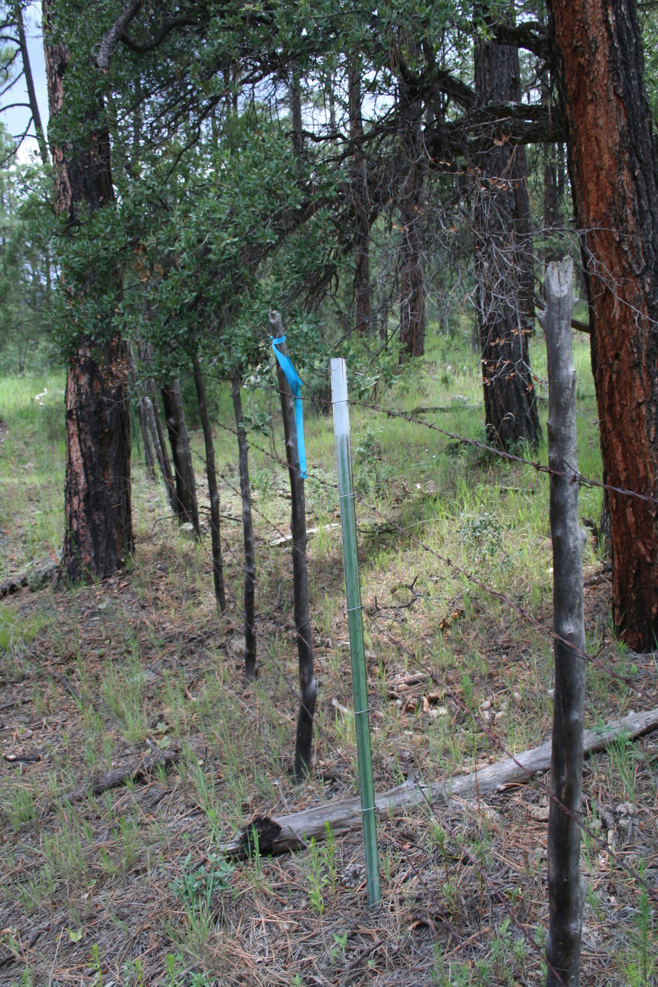
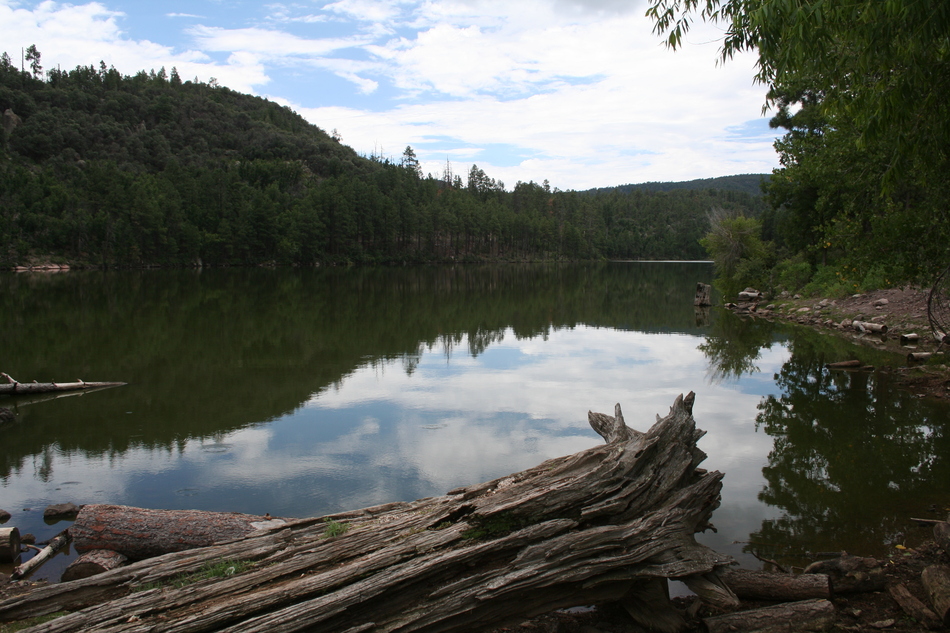
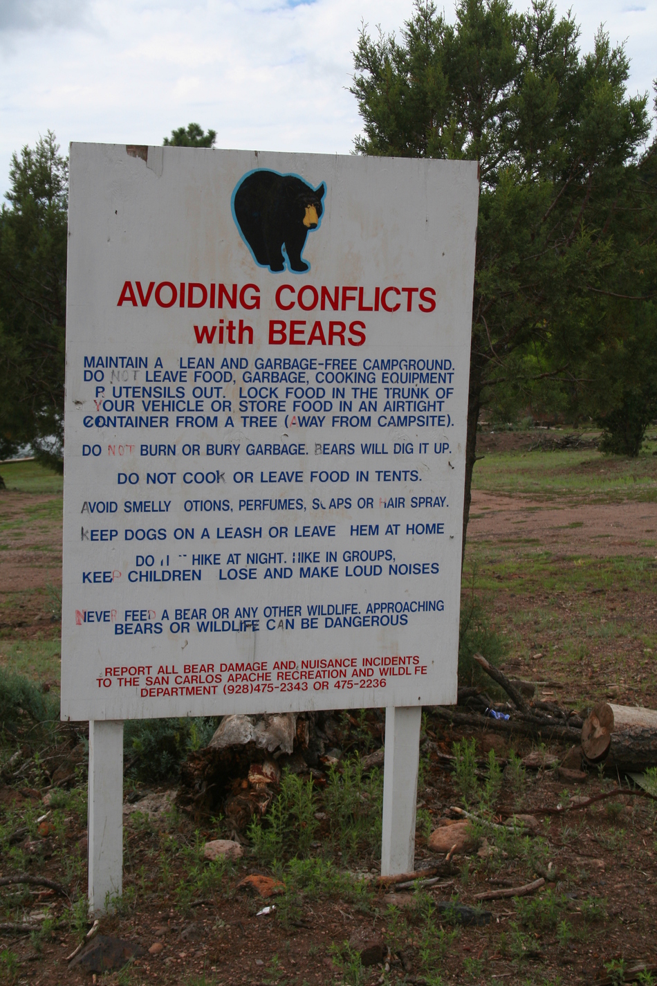
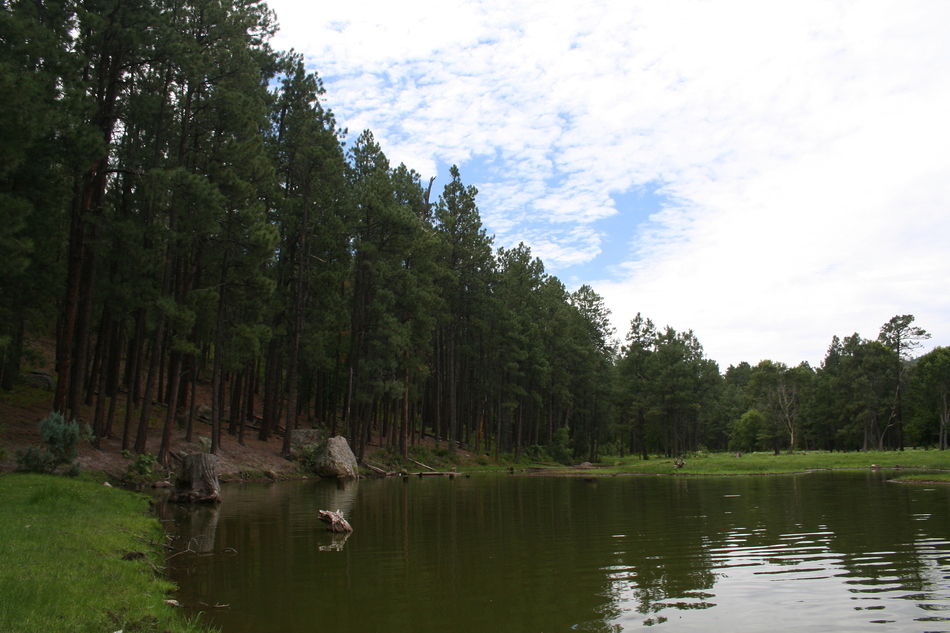
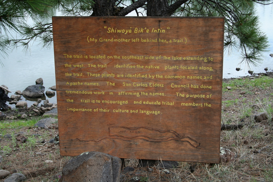
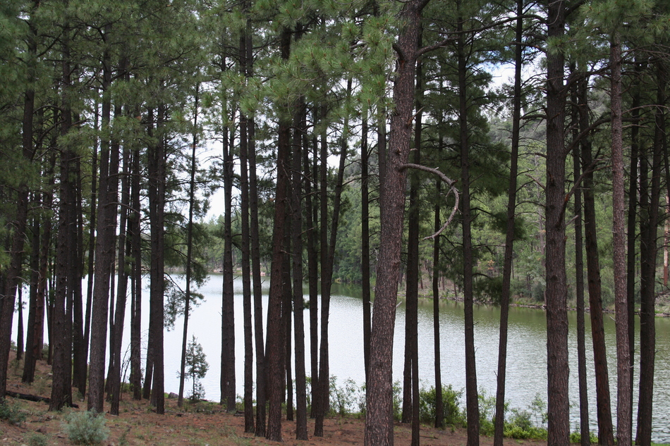
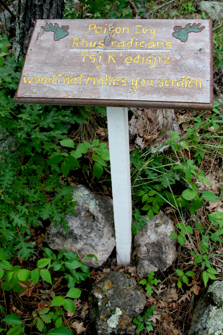
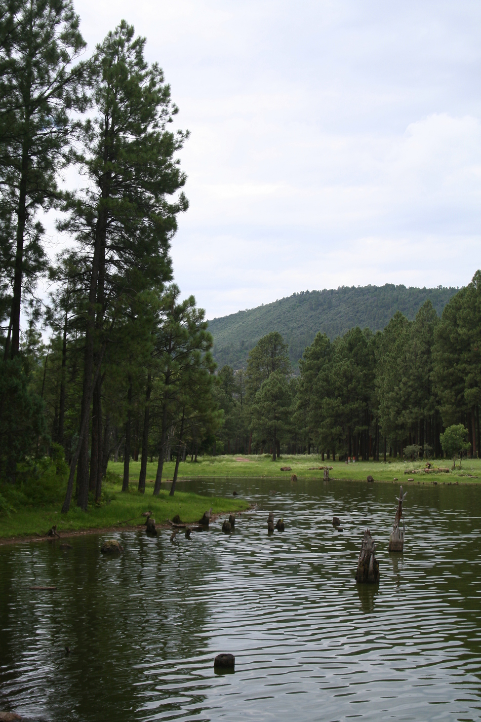
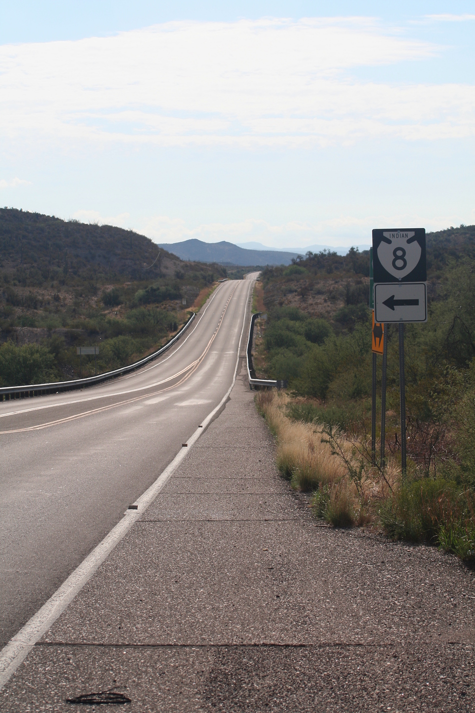
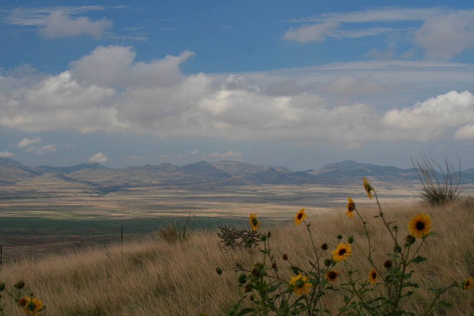
Intrigued, I did some additional research and discovered that the Point-of-Pines Field School was added to the National Register of Historic Landmarks in 1964 (NHL National Register Number 66000182). I also consulted Dr. Haury's Prehistory of the American Southwest and found a collection of field notes and maps from this area. The Hike When aaronhales' HAZ hike description Dry Lake/Nantac Rim and accompanying photos were posted on October 13, 2006, I immediately added this to my "Wish List". The passing mention of Point-of-Pines Lake piqued my curiosity and caused me to think about a possible link to Dr. Emil Haury. Quickly establishing the link to Dr. Haury's Point-of-Pines Field School, I knew I had to go and explore the area. I'll describe this hike as a series of "mini-hikes" to sites of historical significance. Nantac Rim Ruins As Indian Route 8 begins to ascend the escarpment, take note of the numerous caves and wind-carved alcoves along the rim. Using the second scenic pull-out for trailhead parking, walk up the road about 100 feet and turn around scanning the cliff face. You will see a small, one room, cliff dwelling built on the first ledge above the road surface. Follow the ledge contour to where it meets the road surface to give you the easiest access trail. Contour along the ledge to the ruins. From the ruins you can catch a glimpse of your vehicle parked at the second scenic pull-out with Ash Flats and Arsenic Tanks in the distance. As you contour east along the ledge, look above you for a series of caves. You will spot remains of ancient walls near the caves. Scramble up the canyon wash for the easiest route to these caves. As you crest the ledge near the caves, additional ruins can be noted hidden by vegetation. Further above are additional caves and ledges with ruins mostly reduced to small piles of rubble. I'm sure there are many additional sites along the Nantac Rim and this was but a small sample to whet our appetite. Point-of-Pines Field School Ruins As Indian Route 8 crests through Barlow Pass and exits the pine forest at the top of Nantac Rim, a vast, open, lush prairie will unfold before you, aptly named Big Prairie. The road will bend towards the Natanes Mountains and a roadside sign indicating "Wellness Camp" will come into view. We continued further along IR-8 entering the village of Point-of-Pines. Some of the abandoned Archaeological Field School outer buildings can be seen near the village. Take the 4WD track directly south from the village to the main compound of the Archaeological Field School. Most of these buildings are fenced off and in the process of being rehabilitated for use by the "Wellness Camp". Our topo map marked the location of several "prehistoric ruins" near the compound. We walked over many of these site locations and came to the conclusion that they must have been back-filled when the school closed in 1960. Cienega Creek Sites I had a copy of Dr. Haury's field notes, old photos, and site maps with us as we explored the region. Coming to the realization that Indian Route 8 is recent road construction that realigned the original 4WD tracks, helped us to connect with the landmarks circa 1946-1960. We took a 4WD track towards Cienega Creek and stopped at a tank that seemed to match landmarks in an old photo. Haury's field map shows a 14th-century pueblo on the top of a small hill near a tank formed by an earthen dam on Cienega Creek. We discovered a 5-wire fence surrounding a cordoned-off area of the small hill. There's no signage or evidence of pueblo walls. The fenced quadrant is estimated to be 100 feet by 100 feet. Could this be the site of the 14th-century pueblo Dr. Haury and his team documented in 1957? Our map also shows the presence of small kivas near the banks of Cienega Creek. We walk along the banks looking for landmarks. We couldn't find anything of note, no mounds, no shards, and no cordoned-off areas. Just our imagination of what things might have looked like 50 years ago with students excavating the site. Point-of-Pines Lake We followed the signed Forest Road off Indian Route 8 to the shores of Point-of-Pines Lake. The lake has camp sites on the west shore with ample warnings about the presence of bears. Walking across the dammed north end of the lake, you come to a signed trail head indicating Shiwoye Bike Intin (My grandmother left behind her a trail). This maintained trail circles the lake and has identification signs for native plants in native language. This lake is an unexpected jewel. Summary I'll estimate the distance traversed on each of these 4 mini-hikes to be about 1 1/2 miles for an accumulated total of 6 miles. This destination provides a refreshing respite from the desert valley summer heat as temperatures approached the mid to upper 70's and we were treated to a refreshing summer monsoon storm. Point-of-Pines Lake offers overnight camping opportunities as well as an active fishery. Combine this hike with Dry Lake/Nantac Rim hi-lites for an excellent day adventure. Enjoy! Check out the Triplogs. Leave No Trace and +Add a Triplog after your hike to support this local community. | |||||||||||||||||||||||||||||||||||||||||||||||||||||||||||||||||||||||||||||||


