 Route Editor

| Guide | ♦ | 30 Triplogs | 4 Topics |
details | drive | no permit | forecast | 🔥 route |
stats |
photos | triplogs | topics | location |
| 389 | 30 | 4 |
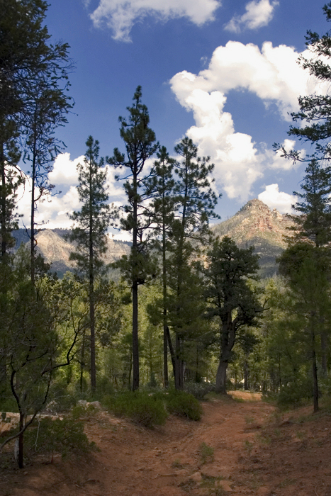
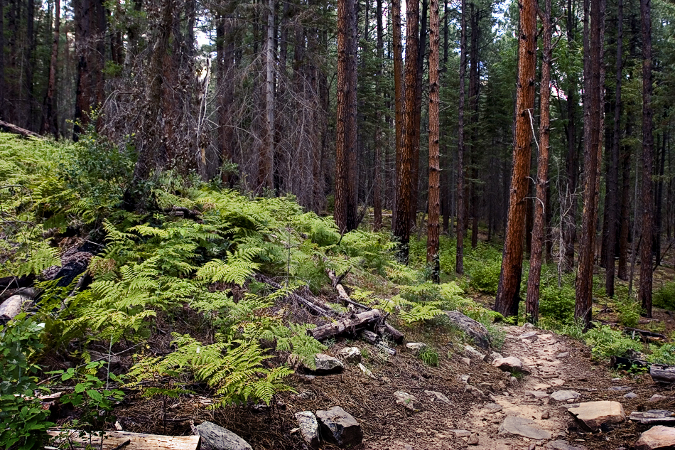
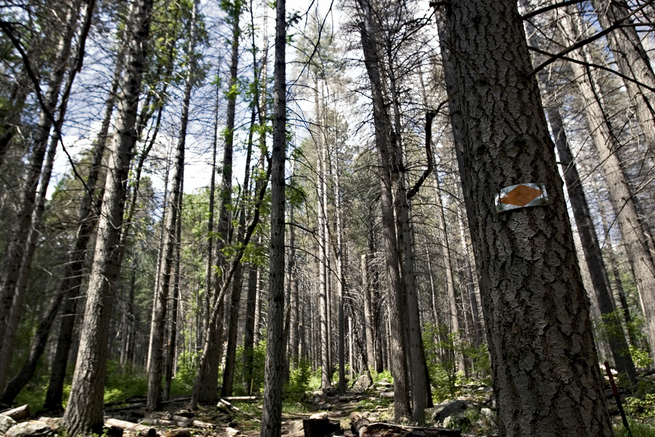
Tangled by joebartels  Overview OverviewOut-n-back hike to the origin of Weber Creek via Geronimo trailhead. 0.15mi south & west on Highline Trail #31. North about 2.75mi on Geronimo Trail #240. Continue northeast on East Webber Trail #289 for about 1.9mi. Hike If you're hooked on lush creekside hikes this might leave you with a sour taste. In order to sink your teeth into the sweet nectar of upper Webber Creek (without a STEEP downclimb), you must conquer Geronimo! Geronimo Trail #240 that is... please read Mike's summary. As Mike mentions, the trail systems here are highly entwined with jeep roads. So if you're not into hiking jeep roads then stop reading. I would like to add I did not encounter any jeeps or anybody for that matter. I did encounter a pack of skinny turkeys. The pines are big and healthy. Additionally, nice views of the rim (few get to see) made it worthy of my time. However, I wouldn't drive great distances just for trail #240... no-sir-ree-bob.
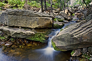
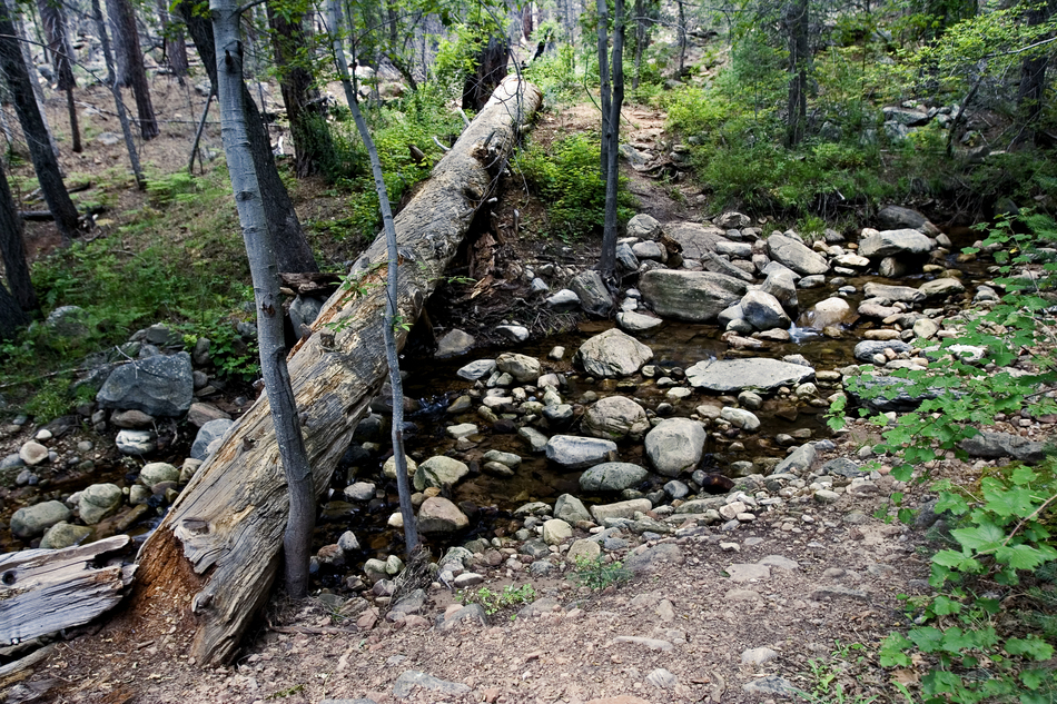
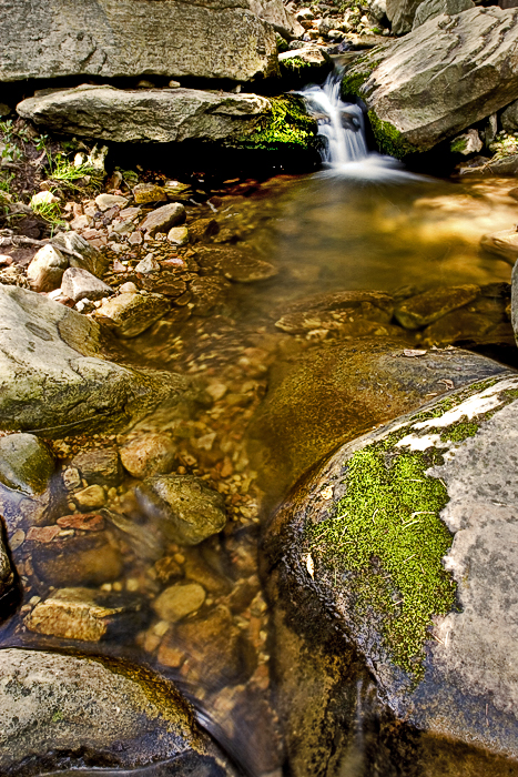
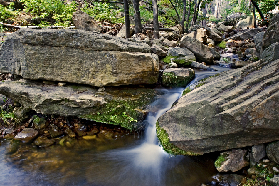
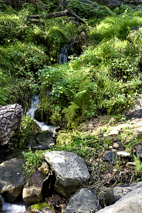
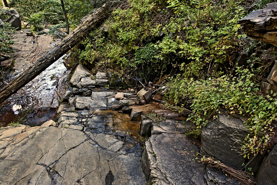
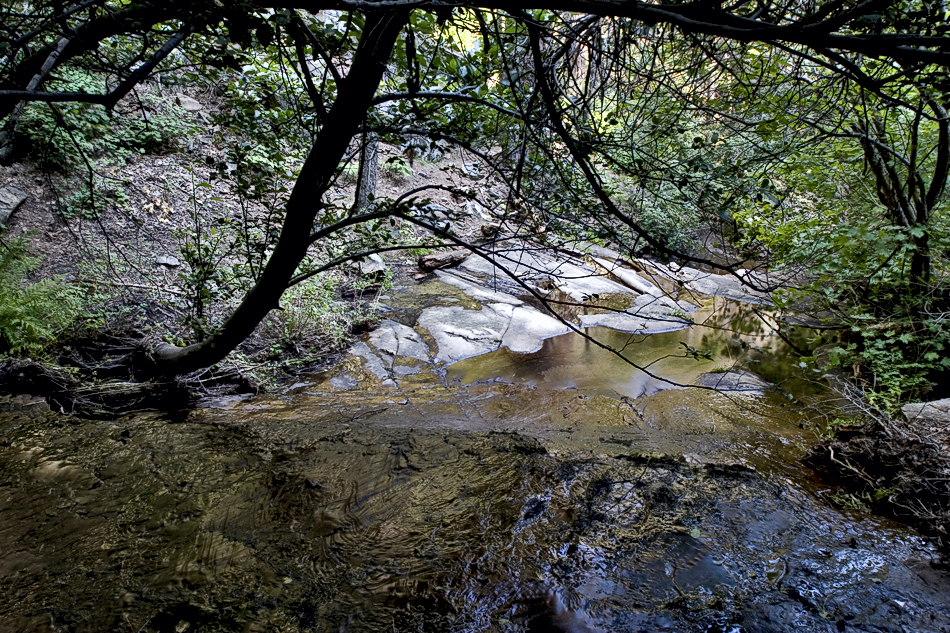
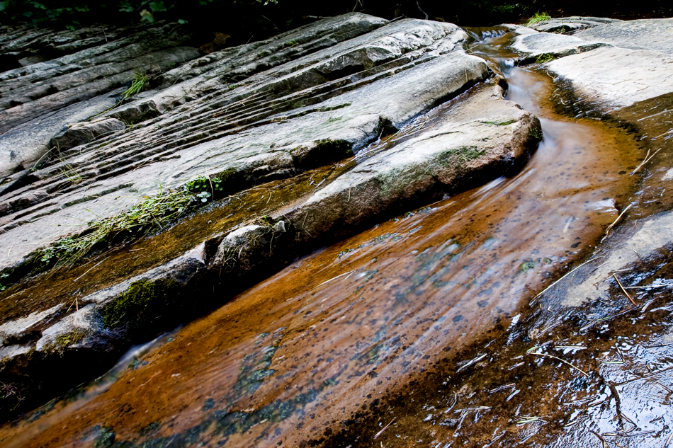
At one point it feels like you cross a creek twice without crossing back. The first of which is Webber at 3.6-mi, followed by Patton Spring Draw at 4.05-mi. Never fear you are still on track. Further on you pass a field of lichen boulders. At 4.5mi comes one of the main feeder springs. It gurgles out of the opposing bank in rich green flora. This spring appears to be over 50% of the flow making up Webber Creek. Turn back now and live without reason. It's only a quarter mile to the grand finale. The true spring of origin trickles down deep-brown rock slabs. Return as you came or a rude route continues up the rim for a shuttle. Check out the Official Route and Triplogs. Leave No Trace and +Add a Triplog after your hike to support this local community. | ||||||||||||||||||||||||||||||||||||||||||||||||||||||||||||||||||||||||||||||||||||||||||||||||||||||||||||||||||||||||||||||||||||||||||||||||||||||||||||||||||||||||||||||||||||||||||||||||||||||||||


