 Route Editor

| Guide | ♦ | 21 Triplogs | 0 Topics |
details | drive | permit | forecast | 🔥 route |
stats |
photos | triplogs | topics | location |
| 25 | 21 | 0 |
What's aspenin', Webb? by PrestonSands  Overview OverviewWebb Peak via Soldier Creek follows forest road #88, also known as the Webb Peak Road, to the summit of 10,030 foot Webb Peak, in Arizona's Pinaleno Mountains. It is one of four routes to the summit. This old road, which is closed to motor vehicles, can be hiked in conjunction with one of the two branches of the Webb Peak Trail #345, or the Chesley Flat Trail #311, to make a lovely mountain top loop. State highway 366, which provides access to this hike, is closed yearly due to snow from November 15 through April 15 (or possibly later), about 7 miles before the trailhead.
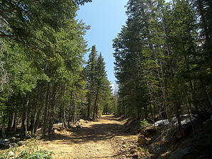
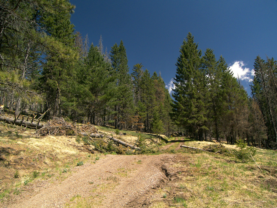
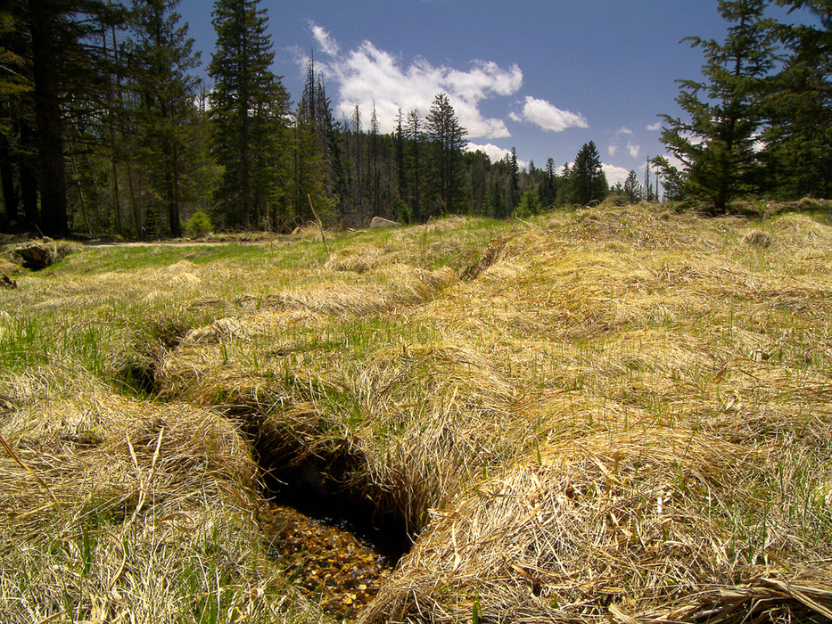
The hike begins where the unsigned Webb Peak Road (forest road #88) meets the Swift Trail highway, near the Soldier Creek Campground. There is a small parking area near the beginning of the road. Pass through the vehicle barrier gate, and begin following Webb Peak Road as it heads up a shallow draw, away from the rolling meadows along the Swift Trail. The headwaters of Soldier Creek trickle down the draw, which parallels Webb Peak Road for its first quarter mile. Engelmann spruce dominates this area's recently thinned forest. The road makes a sharp bend to the left at 0.25 miles and leaves Soldier Creek behind. Aspens and southwestern white pines begin to crowd the tall spruces, creating a shady, forested hike. As the hike rounds the south ridge of Webb Peak, the trees part to reveal a nice view of the Galiuro and Santa Catalina Mountains to the west. The views continue until the road reaches the one-mile signpost, near a fine roadside campsite. The hike now turns north and arrives at a signed junction with the Chesley Flat Trail, at around 1.5 miles. You will pass near some mountain top meadows in this area, carved out of the forest by past fires. The road comes to an end at 1.7 miles, next to a rustic forest service cabin and just below the summit of Webb Peak. Take the short walk up to the summit, where the fire tower stands. Be sure to sign the register, which sits in the rocks below the tower. Trees block the view from the summit, but spectacular 360-degree views await you from the tower. Returning to your vehicle via one of the Webb Peak Trail's two branches makes a great loop with a quick return. The short branch offers a 3.25-mile loop, while the long branch offers a 4.5-mile loop. Returning via the Chesley Flat Trail and the Swift Trail highway brings route-finding challenges and a loop hike of 5.5 miles. Gate Policy: If a gate is closed upon arrival, leave it closed after you go through. If it is open, leave it open. Leaving a closed gate open may put cattle in danger. Closing an open gate may cut them off from water. Please be respectful, leave gates as found. The exception is signage on the gate directing you otherwise. Check out the Official Route and Triplogs. Leave No Trace and +Add a Triplog after your hike to support this local community. | ||||||||||||||||||||||||||||||||||||||||||||||||||||||||||||||||||||||||||||||||||||||||||||||||||||||||||||||||||||||||||||||||||||||||||||||||||||||||||||||||||||||||||||||||||||||||||||||||||||||||||


