 Route Editor

| Guide | ♦ | 23 Triplogs | 0 Topics |
details | drive | permit | forecast | 🔥 route |
stats |
photos | triplogs | topics | location |
| 134 | 23 | 0 |
You bet your sweet aspen! by PrestonSands  Overview OverviewThis hike uses a four-wheel-drive road and the lightly traveled western end of the Swift Trail to create a short loop on the west side of the Pinaleno Mountains. Perks of this hike include a large aspen grove, green meadows, and views off both sides of the Pinaleno range. So why hike a four-wheel-drive road? Because many people can't drive it, and the scenery can't be beat! State highway 366, which provides access to this hike, is closed yearly due to snow from November 15 through April 15 (or possibly later), about 12 miles before the trailhead.
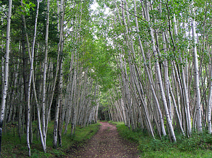
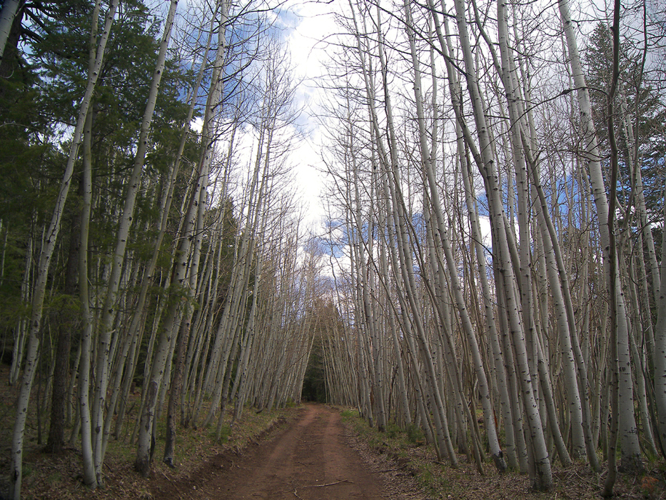
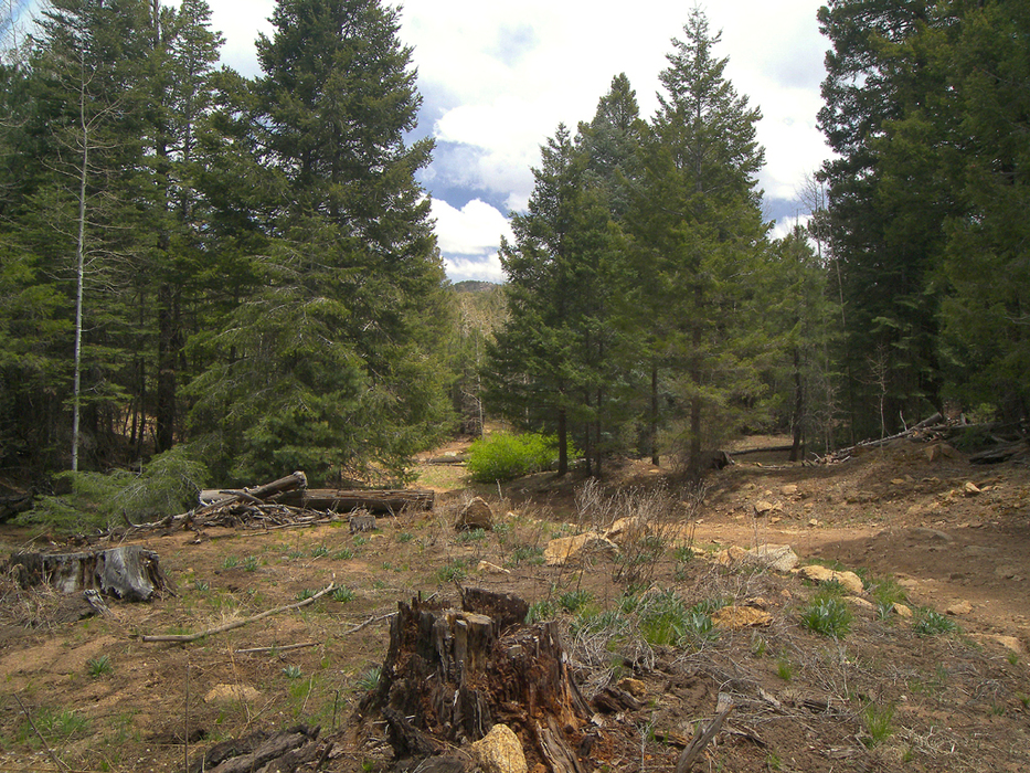
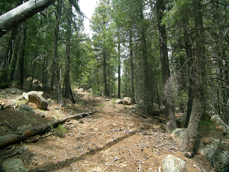
The hike begins at the Clark Peak Trailhead, at the end of the Swift Trail. Follow the four-wheel-drive road that takes off from the south side of the trailhead parking area. The road makes a quick and rocky descent to the sheer south edge of the Pinalenos, where there is a sweet view to the south and west. The road then turns east to descend a shallow drainage. Pines and firs give way to a long stretch of aspens that I call Letty's Grove. This large stand of aspens continues for some distance, hemming the narrow dirt road like an overgrown, white picket fence. A small meadow is encountered a half-mile in, where a short two-track road splits off to the right. Stay left. The hike comes across a faint, overgrown logging road on the right at 0.7 miles (32.71424 N, 109.97166 W), where there is the option for a brief side hike out to an overlook. The logging road is covered in second-growth trees and becomes almost non-existent as it nears the south edge of the mountain top. Therefore, some route finding is necessary. Boulders at the edge provide a nice vantage point for watching a nameless creek tumble off the mountain to the grasslands of the Sulphur Springs Valley below. The view to the west is outstanding. Add about a mile to the distance listed in the statistics if you choose to do this side hike. Back at the logging road junction, the four-wheel-drive road continues east and soon comes to a second old logging road on the right, this one being more recognizable than the last. This second side road follows the creek bottom for about half a mile before dead-ending in the trees. After the junction with the second logging road, the hike turns north and soon enters a grassy meadow bordered by tall pines. The road becomes deeply rutted and muddy as it climbs through the meadow. The road reenters forest at the north edge of the meadow and soon stumbles upon the Swift Trail at the Nuttall Ridge Trailhead. Turn left to follow the Swift Trail. The Swift Trail heads west and soon reaches a saddle known as CP Flat, where there is an impressive view of bowl-shaped Nuttall Canyon from the campground. The road passes another saddle a short distance later, where the views continue. Finally, the Swift Trail and this hike both reach their end at a third saddle, where the Clark Peak Trailhead is located. Check out the Official Route and Triplogs. Leave No Trace and +Add a Triplog after your hike to support this local community. | |||||||||||||||||||||||||||||||||||||||||||||||||||||||||||||||||||||||||||||||||||||||||||||||||||||||||||||||||||||||||||||||||||||||||||||||||||||||||||||||||||||||||||||||||||||||||||||||||||||||||||||


