 Route Editor

| Guide | ♦ | 5 Triplogs | 0 Topics |
details | drive | no permit | forecast | 🔥 route |
stats |
photos | triplogs | topics | location |
| 20 | 5 | 0 |
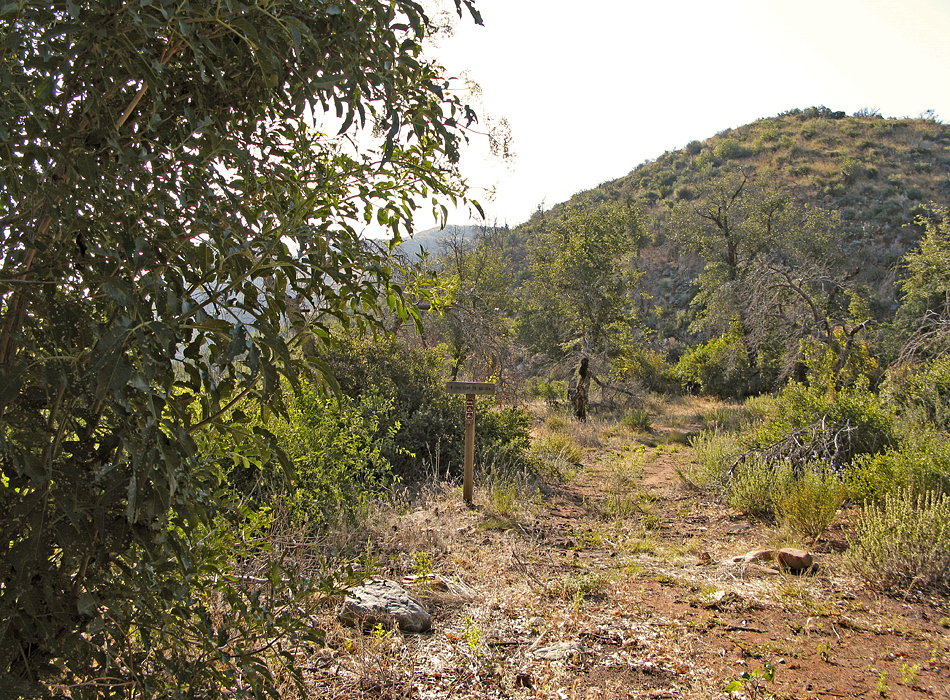
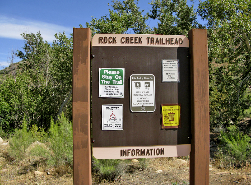
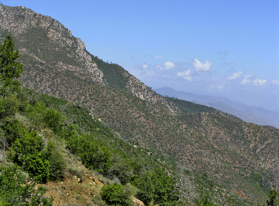
Saguaros to Snowballs by joebartels   Overview OverviewFrom the Oak Flat Trailhead (3650 ft) head 1.65mi to the northern section of the Four Peaks Trail #130 (5400 ft). Head south on #130 for 4.65mi to the Chillicut Trail #132 junction on the north-northwestern flank of Buckhorn Mountain. From the 130/132 junction (5725ft) head down 5.4mi to Rock Creek Trailhead (2850 ft). Setup We did this hike as a shuttle hiking counterclockwise. You could hike the 3mi of road. Keep in mind that adds 800ft elevation gain. A clockwise attempt would be a more difficult task, physically and mentally.
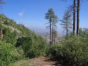
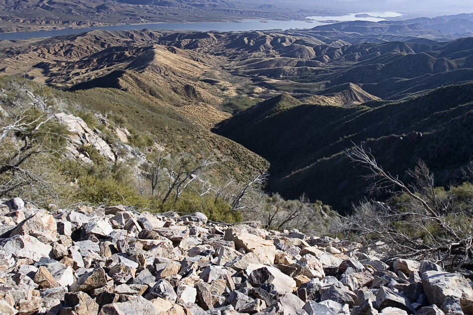
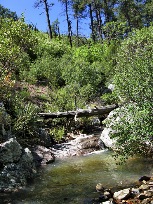
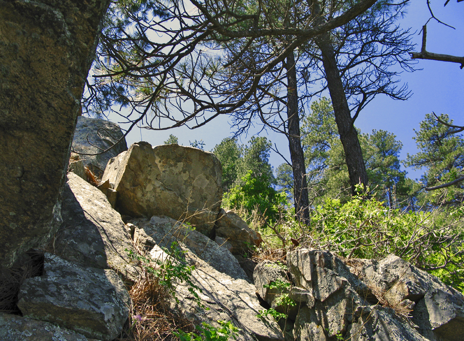
The hike up is posted in detail at Oak Flat Trail #130. At the 123/130 junction, you have just entered the wilderness and a small stand of tall ponderosa pines. Continuing on the push up continues for another 0.6mi and 400ft to a saddle. The remaining 4 miles are constant ups and downs, transversing the drainages. Luckily they're all in the 50-100 foot range and go almost unnoticed. You head down from the small saddle, up around, and down another drainage to the Alder Trail #81 junction (3.15mi / 1.5mi on #130). On route, you cross a firm slope of rock fall out of the vegetation then back into a wooded ravine. On this trip the creek was flowing with a nice small pool at the junction. Stay left at the junction. The vegetation thins out over the next quarter mile. The next mile of the trail hugs the mountain in and out of drainages without vegetation, crossing another stable rockfall or two on route. When things start to get dull, you enter a nice forest with some healthy stands of ponderosa. Some of the boulders on the slopes provide a nice spot to take a break and take in the view! The next mile of the trail is the sweet spot where life seems good. I believe this portion was constructed in the past ten years, specifically for the AZT (Arizona Trail). A half mile before the Chillicut Trail #132 junction, the vegetation picks up, and then it goes nuts. We had to wade almost a half-mile through 7-10 foot bushes that I can only describe as similar to oleanders (perhaps Seep Willows) with tons of white blooms. Due to the recent rains, they weren't dusty. For the most part, they grow straight up, making it easy to wade through. They did get tangled up in sections simply due to the dense factor. I found walking backward the best option for breaking the tangles. The trail was barely visible if you knelt to the lower foot and half. The hike down is posted in detail at Chillicut Trail #132, although you'll be going the opposite direction. Summary Oak Flat / Chillicut Shuttle is a great hike. We lucked out on the timing with a freak cold front in May. Due to the steep terrain and changing biomes, it isn't easy to schedule this hike weather-wise. March is probably the ideal target. Midway into this hike, I threw a snowball at Stiller in the upper reaches. Hours later, I was sweating profusely on the oven roller coaster below admiring Saguaros. Check out the Official Route and Triplogs. Note This is a moderately difficult hike. Leave No Trace and +Add a Triplog after your hike to support this local community. | ||||||||||||||||||||||||||||||||||||||||||||||||||||||||||||||||||||||||||||||||||||||||||||||||||||||||||||||||||||||||||||


