Route Editor

| Guide | ♦ | 38 Triplogs | 0 Topics |
details | drive | permit | forecast | map |
stats |
photos | triplogs | topics | location |
| 146 | 38 | 0 |
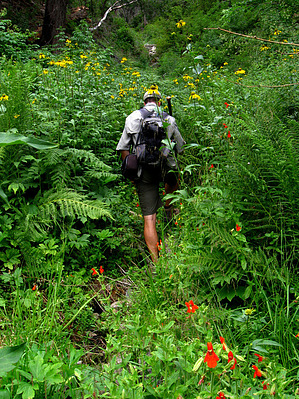
  Overview OverviewMore of an off-trail adventure, the route to Twilight Spring follows an old pipeline trail that leaves the Swift Trail just beyond the turnoff to Twilight Campground. The trail is almost gone, so the easier return option upon reaching Twilight Spring is to just drop down upper Twilight Canyon for a few hundred feet, and to hike back on the Twilight Campground road. 2021 Warning This is the pipeline bringing water from Twilight Canyon to cabins in Turkey Flat. After the 2017 Frye Fire, ash filtered down into the water table. The cabin owners had to abandon the spring. In 2020, they put in a well to supply water. This trail is reported impassable now due to deadfalls and trail finding. Check out the Triplogs. Leave No Trace and +Add a Triplog after your hike to support this local community. | ||||||||||||||||||||||||||||||||||||||||||||||||||||||||||||||||||||||||||