 Route Editor

| Guide | ♦ | 4 Triplogs | 0 Topics |
details | drive | permit | forecast | route |
stats |
photos | triplogs | topics | location |
| 68 | 4 | 0 |
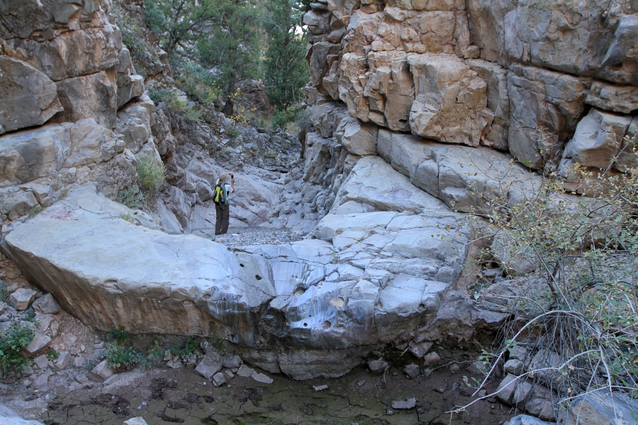
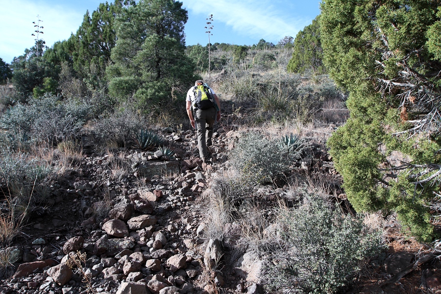
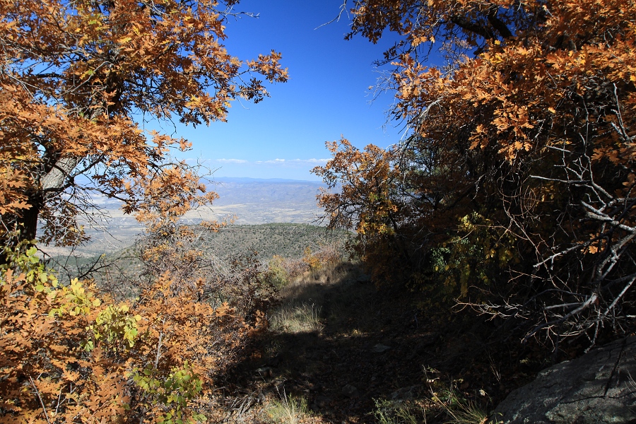
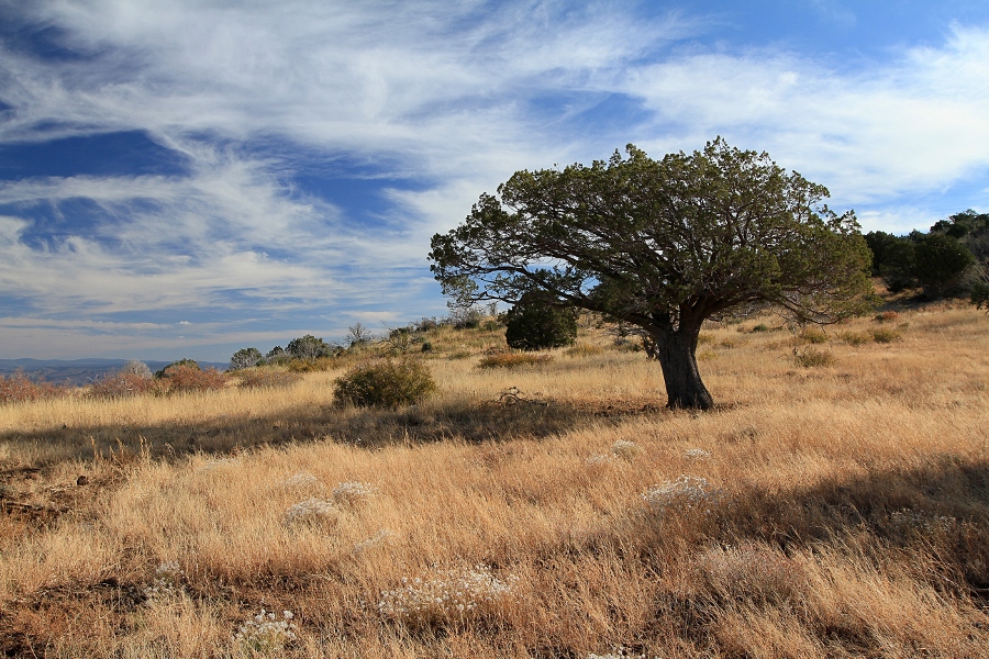
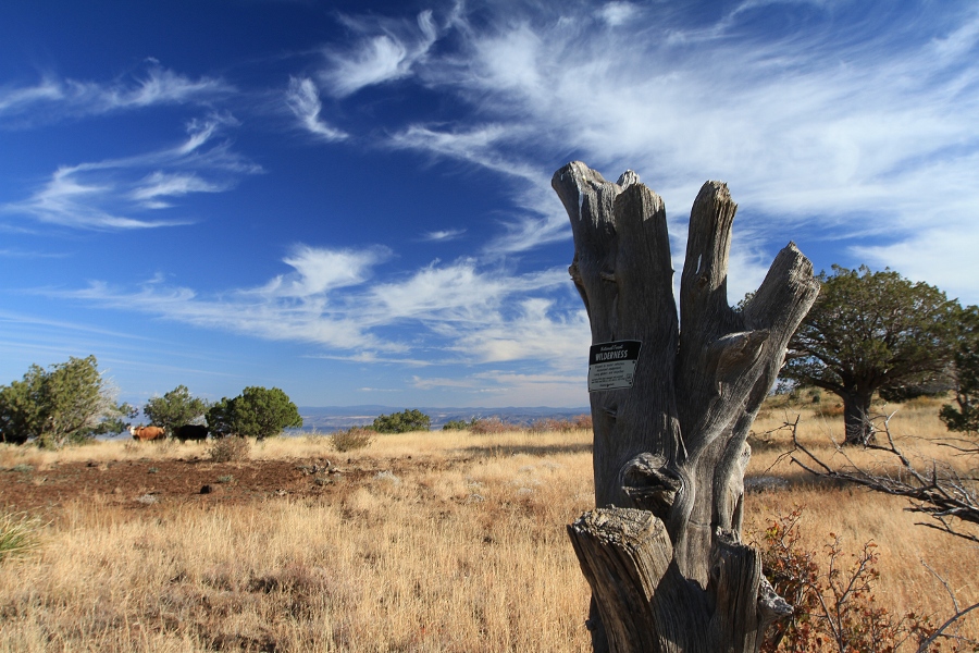
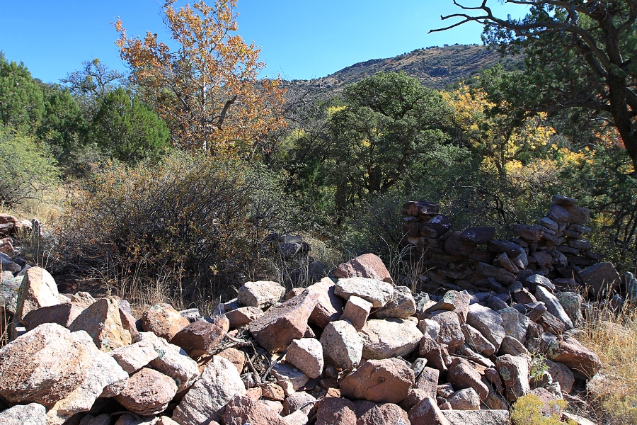
Best Cedar Wilderness Ascent by joebartels   Overview OverviewFrom the Verde Valley on FR574, this trail climbs the Black Hills in the Cedar Bench Wilderness over the Verde Rim to FR528. Hike Chasm Creek is crossed after a quick half mile. That's it for the namesake creek. The narrows you turn away from look inviting for a 1.6mi adventure up to Goat Springs Trail #542. Beware hip feral pig hunters if you go that route.
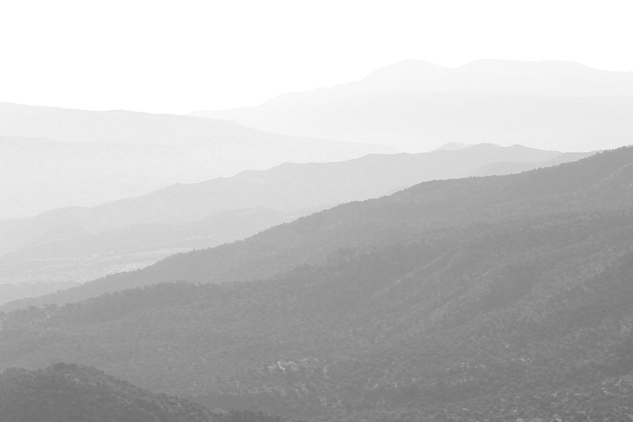
After a 1,500 ft climb & 2.65mi, you arrive on the SW saddle of Table Mountain. Fading ridges offer nice views to the now visible east over a fence. Table Saddle is a nice spot for a short break. Continuing takes you up a ridge. Before passing 5,205, you pass a cool lichen-covered rock. A red lichen segment has been idiot tested for authenticity by pecking. The footing heading up the ridge is a canal of ankle buster rocks. It's over before it gets too annoying, then contours the north ridges of 5,924. Traversing the ravines you pass through oaks. The reward after ascending 2,260 ft & 3.9mi puts you on an inline saddle of what makes up the Verde Rim. If you can get away from the cows it is pleasant. This would be a good turn around for most casual hikers. From the rim-saddle you immediately leave the wilderness, manicured trails, mom and apple pie. The current cairned and worn trail does not follow the depicted trail on topo. It appears improved to accommodate backpackers with a more gentle descent. Roughly from 5,600 to 5,300, we were not entirely sure where the trail went. Not to worry, as it's not difficult terrain to follow if you are map or GPS savvy. 0.2mi before the 5,305 saddle you will pick up an old road. We noticed it had seen recent ATV activity. Horner Tank is then soon passed. It turns into a single track on the south side of the ravine ATVs use. Based on the low lying branches, it seems cows are the main hikers on this thoroughfare. We looked for Horner Cabin Spring. Only saw tubing under the nice sycamore canopy. A quarter-mile from the west trailhead are some ruins. Synopsis Obvious looping options hamper this trail. The east end is currently well maintained. I think some would enjoy an out-n-back hike to the rim-saddle. The west end has a different personality. I enjoyed it, most probably would not. Long pants did not seem necessary, yet autumn foxtails were a nuisance. While trails in this area can be traveled year 'round, I'd avoid summer. Check out the Official Route and Triplogs. Leave No Trace and +Add a Triplog after your hike to support this local community. One-Way Notice This hike is listed as One-Way. When hiking several trails on a single "hike", log it with a generic name that describes the hike. Then link the trails traveled, check out the example. | ||||||||||||||||||||||||||||||||||||||||||||||||||||||||||||||||||||||||||||||||||||||


