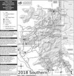
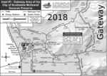
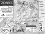
To Tom's Thumb Trailhead1) 101 (Pima Freeway) to Frank Lloyd Wright
2) East on Frank Lloyd Right to N Thompson Peak Parkway
3) North on Thompson Peak Parkway to McDowell Sonoran Preserve Gateway Trailhead to drop off first vehicle
4) Then North on Thompson Peak Parkway to Pima Rd
5) North on Pima Rd to Happy Valley Rd
6) East on Happy Valley Rd until it turns north and changes to 116th st.
7) East on Ranch Gate Rd to 128th St
8) South on 128th to Park Entrance
From Exit 36 of AZ-101 Loop North, head northeast on North Pima Rd 4.7 miles to East Happy Valley Road. Turn right onto East Happy Valley Road and drive 4.3 miles to
Ranch Gate Road. Turn right onto Ranch Gate Road and travel 1.3 miles and then turn right onto North 128th Street. After 1.0 mile on North 128th Street, you'll be at the trailhead gate. No water at the trailhead! Bathrooms are non-flush.
Warning
If you just pop in the coordinates of the trailhead, it's very possible that your GPS unit will tell you to
wrong turn from Happy Valley Road onto Alameda Road at ( 33.706667, -111.832396 ).
Don't do it! Those GPS units don't know that there's a
locked gate at (33.694441, -111.813335).
From PHX (I-10 & AZ-51) 34.8 mi, 55 minsFrom TUC (Jct 1-10 & Grant) 135 mi, 2 hours 24 minsFrom FLG (Jct I-17 & I-40) 149 mi, 2 hours 37 mins  Route Editor


