 Route Editor

| Guide | ♦ | 61 Triplogs | 2 Topics |
details | drive | no permit | forecast | route |
stats |
photos | triplogs | topics | location |
| 723 | 61 | 2 |
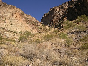
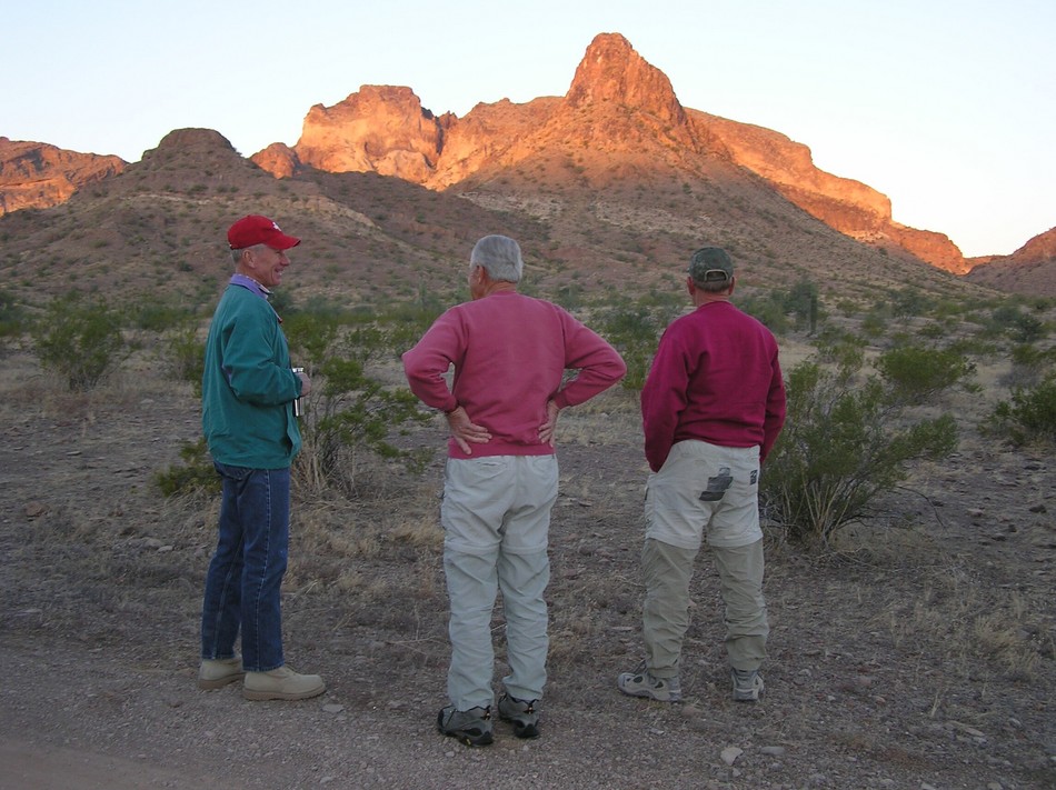
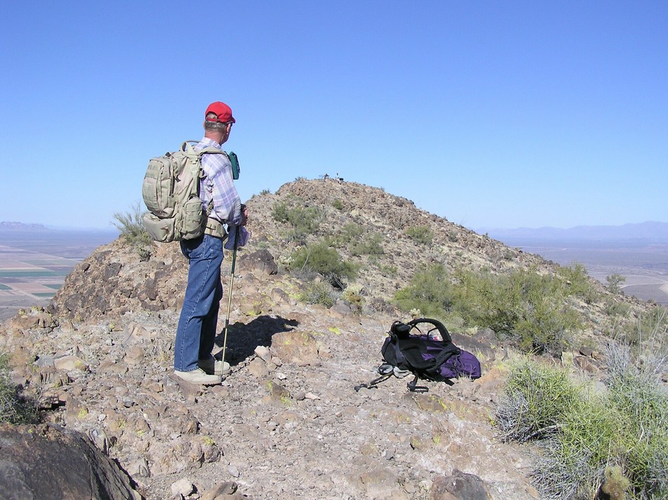
Off Trail Rugged Adventure by TerrySwicegood  Note NoteThe approach is arbitrary. Posted "Official Route" is from the north for the easiest drive. The description below is from the west. About 40 miles (65 km.) west of Phoenix to the south of Interstate 10 at Tonopah is a pair of volcanic mountains linked by a saddle of lower hills. The more dramatic western peak is Saddle Mountain. It is composed of lighter-colored lava, tuff, and rhyolite. The eastern peaks are nearly black basaltic lava of the Quaternary Age. The Bureau of Land Management controls the major portions but several private holdings are surrounding the mountains and there are quite a few mining claims (none of which appear to be active). As the Tonopah area grows this will be an important asset for recreation.
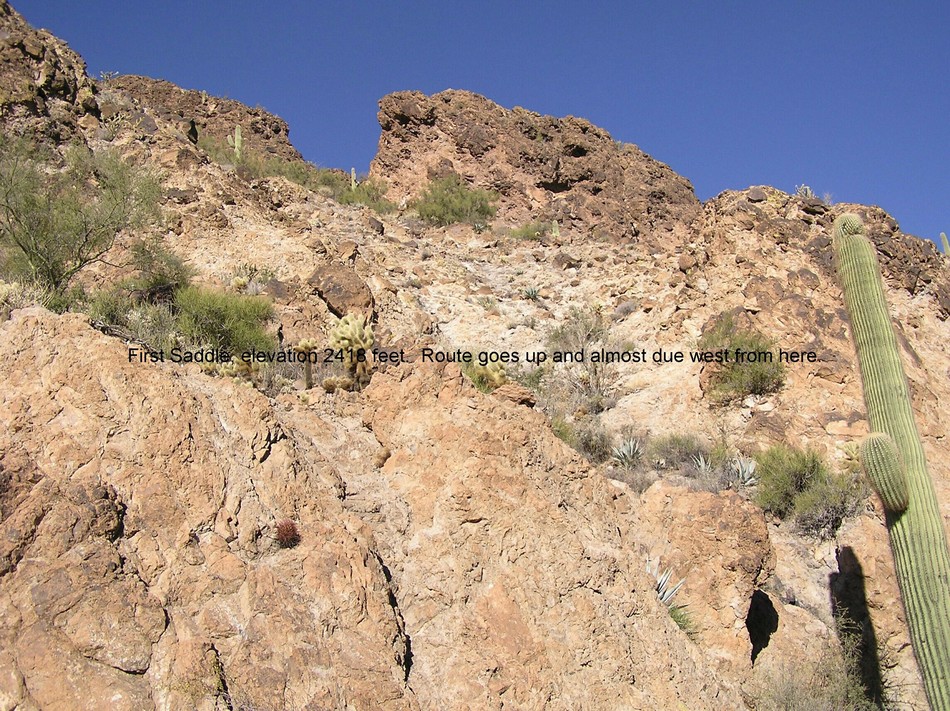
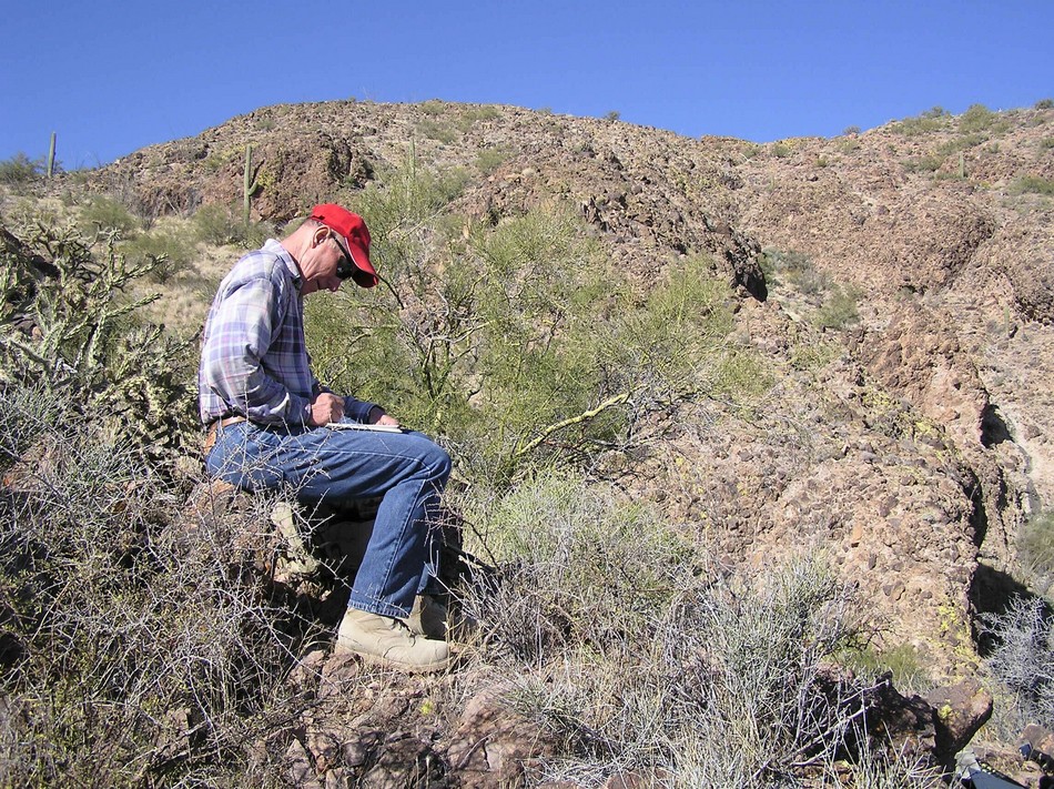
I had been thinking about this hike for well over two years. In the summer of 2004, my hiking partner, Paula Handrup, and I hiked, scrambled, and clawed our way to the summit from the west side. There were three technical sections on this route, including a 50-foot class five climb to the summit. Not having a rope we came down a circuitous way to the saddle on the south side of the mountain. This down climbing involved long, frustrating, and dangerous route finding. We got back to the car out of water, sore, and looking like pin cushions from the evil and ubiquitous cholla. I wondered if there was a better and easier way up this rugged peak. I talked to everyone I knew who had been in the area. I had met BLM volunteer, Rich Wilmes, who has circled the peak on foot and explored several petroglyph sites. Rich joined Bob Bell, Dave Erickson, and me on February 24th to explore possible routes from the eastern side of the mountain. The route I am about to describe is completely "off-trail" and involves a lot of climbing on steep, loose rock. However, there are no "technical" sections and there are no sections as steep as one finds on Brown's Peak or Flat Iron. Hiking poles, in my estimation, are almost essential, especially coming down the first gully, which is filled with loose rocks. After studying our map, we left the car (GPS reading: 33 degrees 26.005' N, 113 degrees 01.150'W) and headed due west toward the summit. The first .85 miles of the route is a pleasant amble across the desert, climbing gently upward as the route heads directly into a sheer cliff. Looking back to where you parked your car you can see the Palo Verde Nuclear Plant puffing away in the distance. At this point (elevation 1863 feet, GPS reading: 33 degrees 26.215' N, 113 degrees 02.047' W; you come to a bench composed of light-covered lava directly in front of you. The bench, some 60 feet high, and approximately 300 feet across, is an important landmark in the climb. Here three options confront you. There are three steep gullies, one to your left, one straight in front of you, and one to your right. Stay beneath the bench and head up the gully to your right. This gully bears southward and becomes steeper as you climb toward a saddle at 2418 feet (1. 52 miles). This is the ugliest and most difficult part of the climb. Every rock moves or appears to be poised to shift. The saddle is marked by a 30-foot saguaro. From this first saddle, you climb up and westward toward the summit. The angle of climbing eases off here. You climb through a short, steep section of black lava rock and emerge at a second saddle, elevation 2636'. For the first time, you can now see the true summit to your west. Stay to your left approaching the summit, climbing the ridge that veers first left to the edge of steep cliff bands then veer gradually back right. Note the cave in a rock formation to your left. As always, the views from the summit (elevation 3037') are magnificent, and there is a summit register revealing that hardy souls climb this peak at the rate of one climb per month. Although rugged and requiring some attention to route finding, I concluded that this is a most worthwhile effort. Not many can complete this climb, and the solitude and rugged beauty are sheer joy.
Check out the Official Route and Triplogs. Leave No Trace and +Add a Triplog after your hike to support this local community. | |||||||||||||||||||||||||||||||||||||||||||||||||||||||||||||||||||||||||||||||||||||


